
Opening hours:Open today
Place:Alpbach
:Alpine pasture / hut / mountain restaurant
Leichte Wanderung vom Alpengasthof Rossmoos über das Hösljoch zum Berggasthof Holzalm.
Wie fühlt sich ein genussvoller Wandertag in den Kitzbüheler Alpen an?
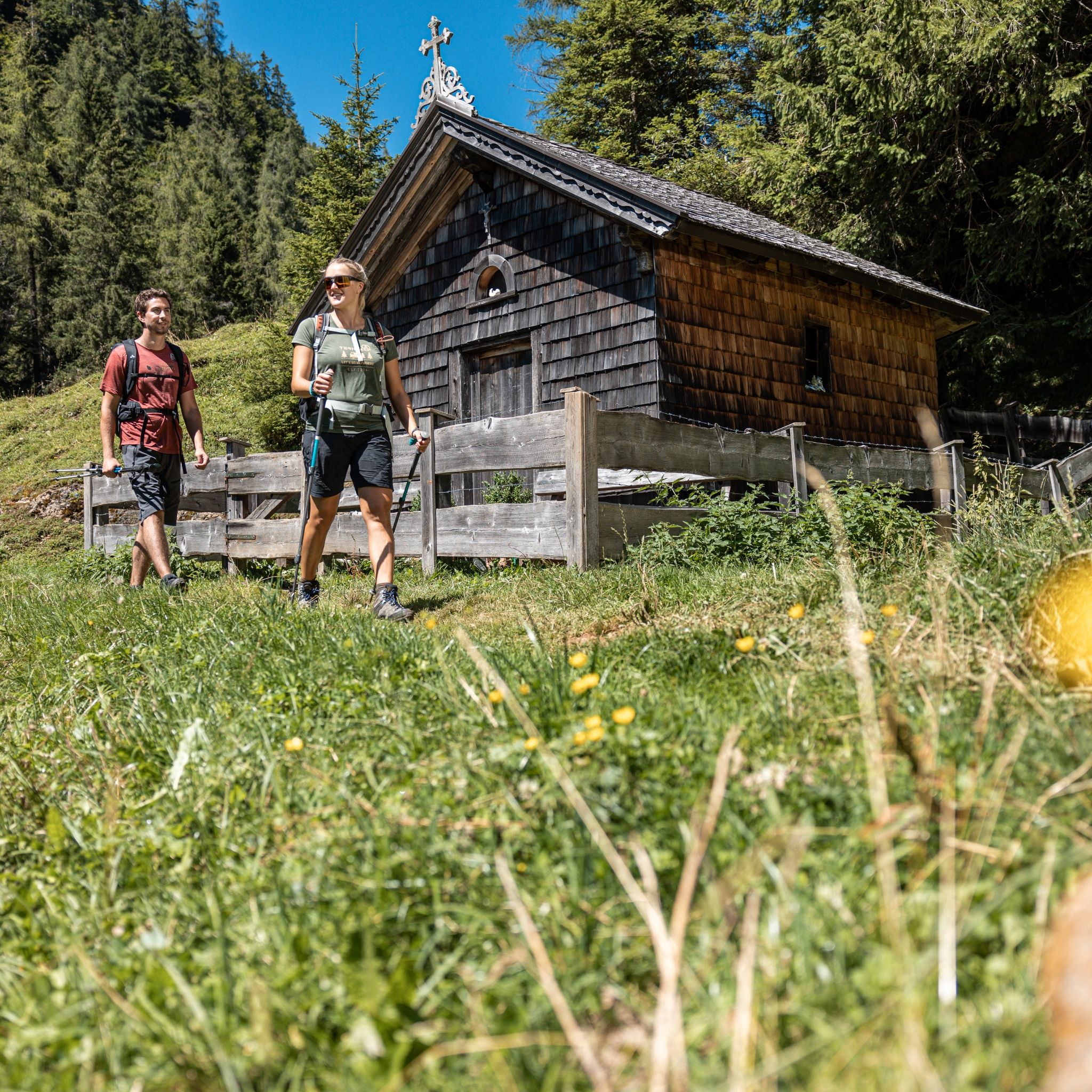
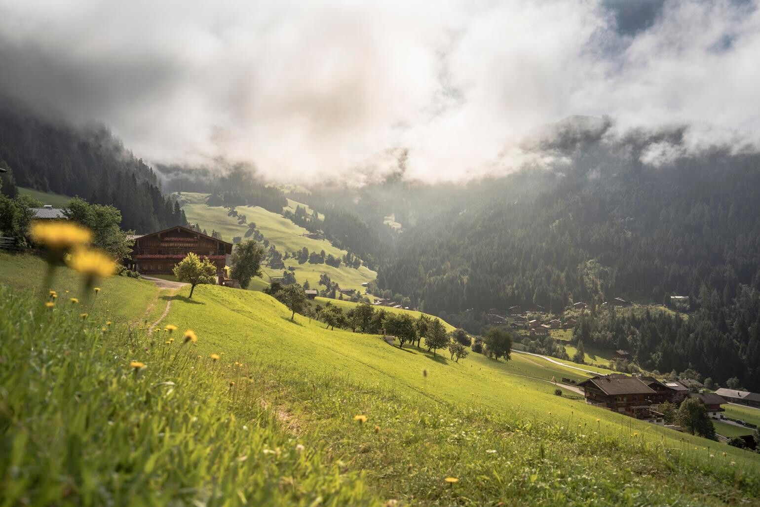
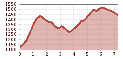
Direkt vom Alpengasthof Rossmoos startest du in einen aussichtsreichen Wandertag, der dich Schritt für Schritt näher an die sanften Grasberge heranführt. Über gut begehbare Wege geht es Richtung Hösljoch – ein Übergang, der mit freien Blicken und ruhigem Gelände überzeugt.
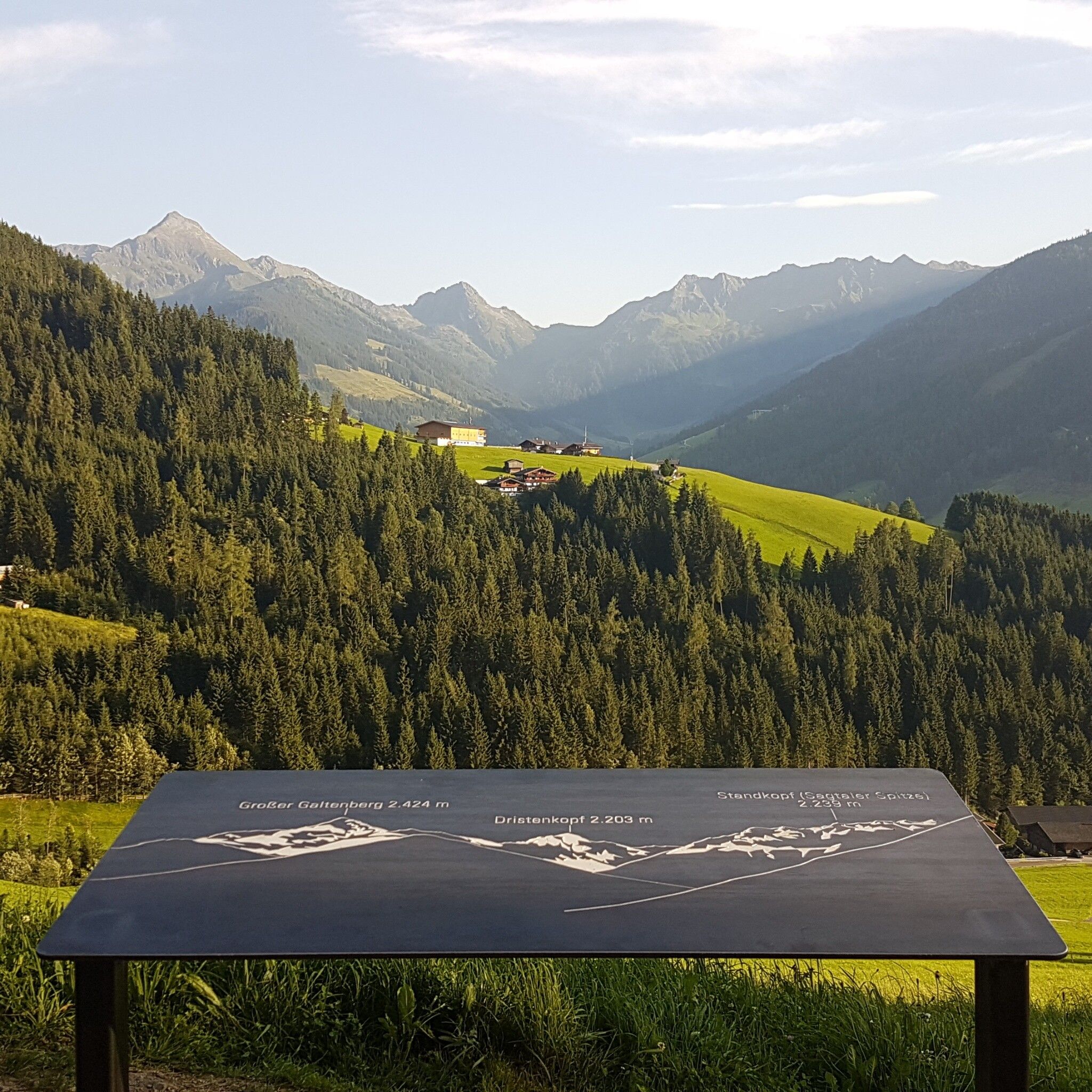
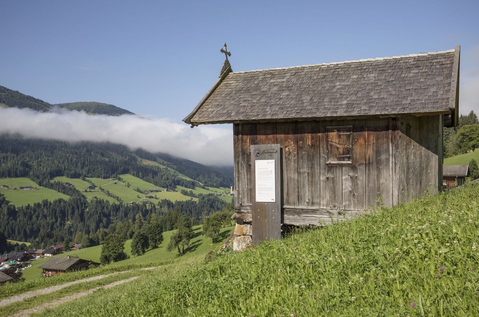
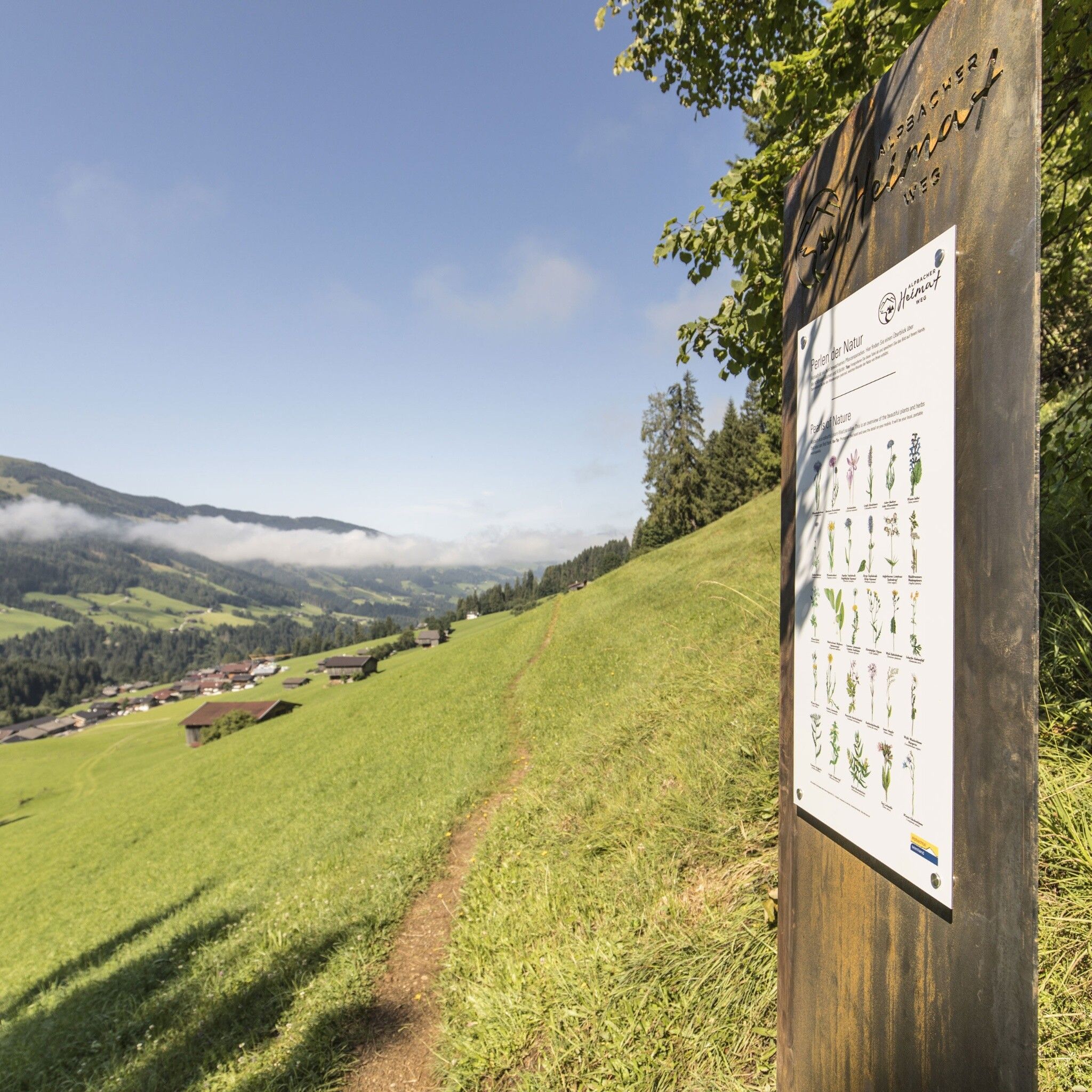
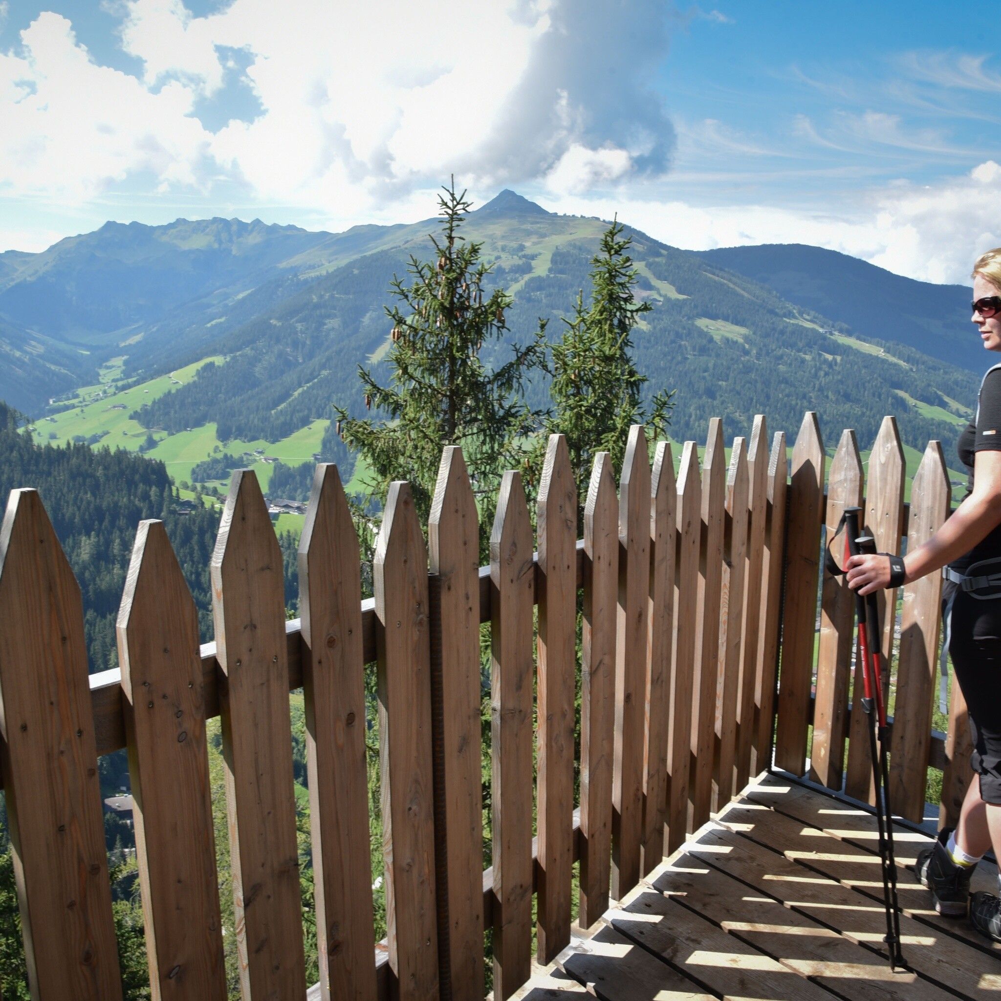
Die Strecke verläuft abwechslungsreich, bleibt dabei aber angenehm moderat. Immer wieder öffnen sich weite Ausblicke auf die umliegende Bergwelt, während du durch alpines Gelände wanderst, das typisch für das Alpbachtal ist.
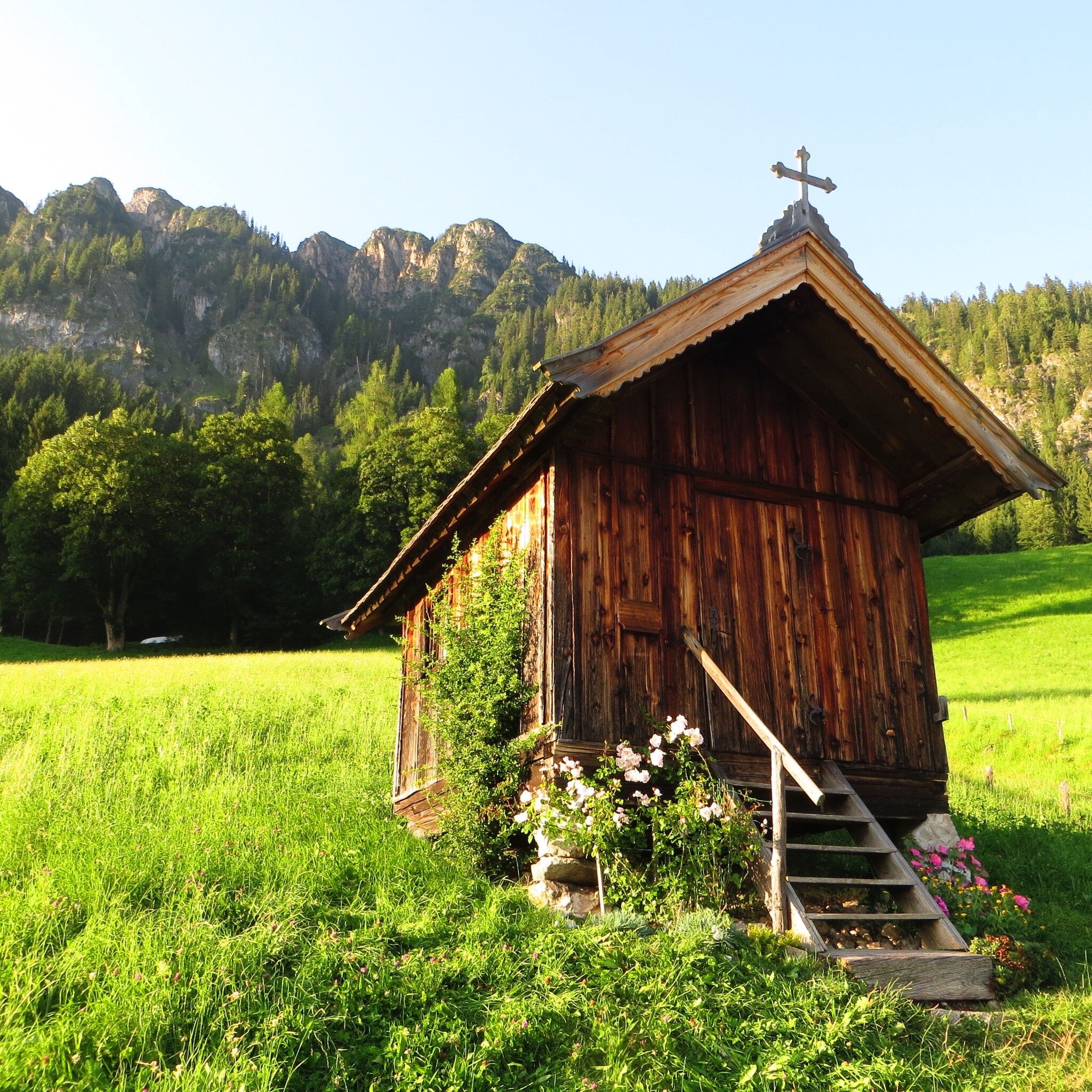
Vom Hösljoch führt dich der Weg weiter Richtung Holzalm. Das Ziel ist bewusst gewählt: eine urige Einkehr, eingebettet in die Natur, die den Wandertag stimmig abrundet.
Eine Tour für alle, die die Bergwelt bewusst erleben möchten – entspannt, aussichtsreich und mit viel Raum zum Durchatmen.


")


