Mountain hikes Müllneralm, Angerer Alm, Harschbichlalm, Stanglalm

Kirchdorf in Tirol / Kitzbühel Alps
Difficulty ratings: medium
Route length: 14.4 km
Duration: 6:30 h

Alpine pasture tour on Harschbichl from Oberndorf
Tour information

  • Requirement: medium
  • Length: 14.4 km
  • Duration: 6:30 h
  • Elevation uphill:905 hm
  • Elevation downhill:905 hm
Highest point1,600 m

Starting point

Oberndorf - parking lot Penzing

Finishing point

Oberndorf - parking lot Penzing
  • Fitness level 3 / 6
  • Technique 2 / 6

Features

  • Circular route
  • Suitable for families

Best time of year

  • January
  • February
  • March
  • April
  • May
  • June
  • July
  • August
  • September
  • October
  • November
  • December

Trail condition

Gravel, asphalt, forest paths

Equipment

- outdoor clothing
- sturdy shoes
- Sufficient food and drinks
- First aid kit
- Mobile phone with full battery & charger
- Hiking map & guide literature
- GPS device or download the GPS data to your mobile phone if necessary
- Sun protection (sunglasses, sun cream, cap)
- Rain protection
- Cash
Source: Kitzbüheler Alpen Management GmbH

Description

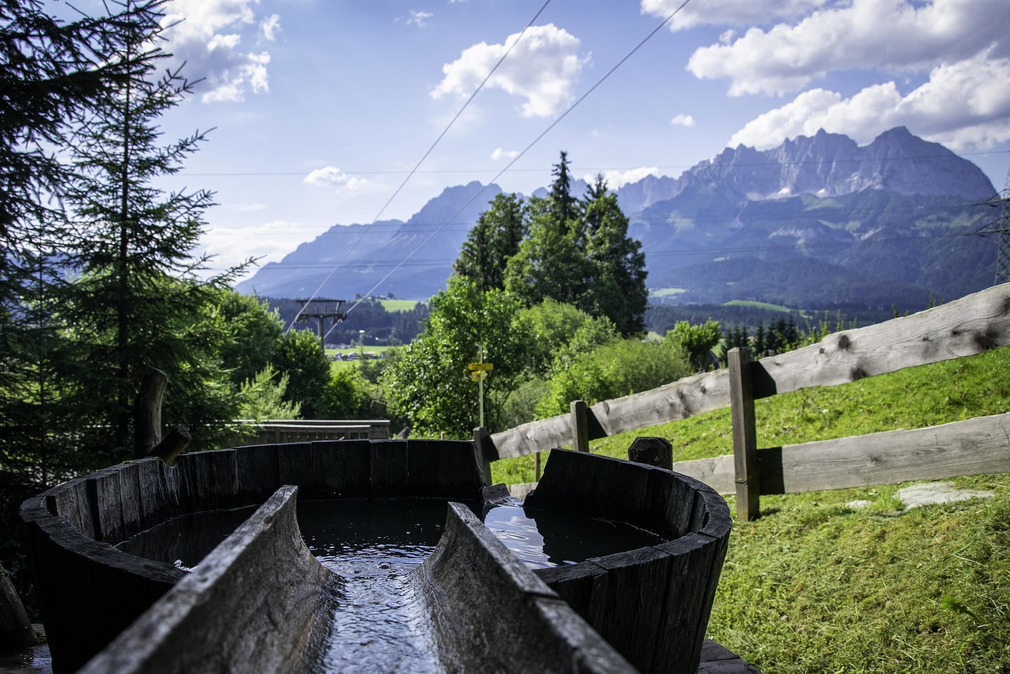
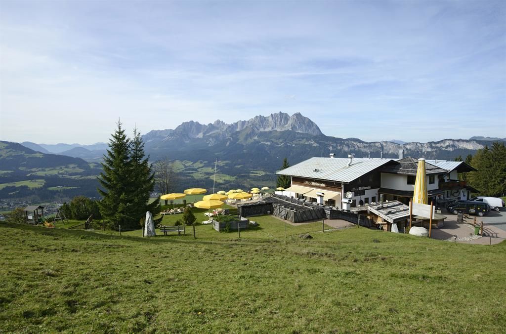
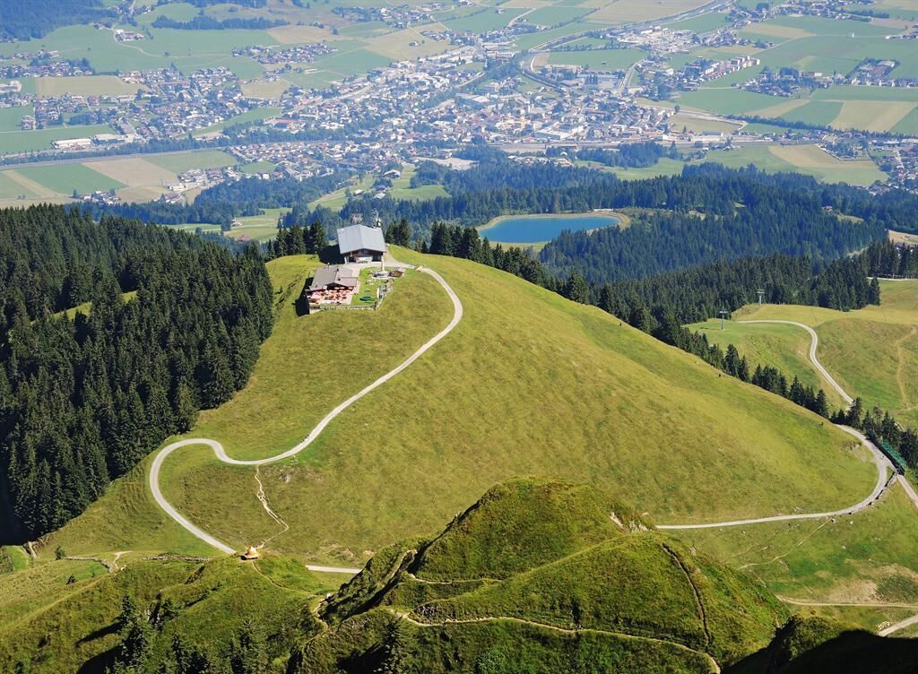
Start your alpine pasture tour at the parking lot Penzing in Oberndorf. Via the Penzingweg, you will soon reach the lovingly renovated Dickat Chapel on a small hill. Past the Oberndorf water games, wet fun for young and old on hot summer days, you follow the hiking trail further on, first through the forest and then across alpine meadows to the Müllneralm, the dog paradise on the Kitzbüheler Horn. The forest path now takes you to the Angereralmsee lake. There, climbers can be seen in the Hornpark climbing forest, the high ropes course in the trees. Soon you leave the forest path and head towards the Angerer Alm. The mountain hut is known for its well-stocked wine cellar with up to 400 exquisite different wines from all over the world. Now continue steadily along forest paths and partly hiking trails to the Harschbichl and the highest hut of the Harschbichl - the Harschbichlalm at 1604m. From the sun terrace you can see the summit of the Kitzbüheler Horn very close. Slowly you return to the valley. You hike down a few meters on the forest path and then branch off to the Stanglalm. A meadow path brings you to a small forest and the cloud cinema. Let your imagination run wild or simply look at the beautiful view of the Kitzbühel Alps mountains through the wooden frame. Arriving at the Stanglalm, you can enjoy home-made and regional food. Via the gravel path you hike in comfortable bends down to the hamlet of Haslach (Bauernladl Kircherbauer, a farm shop is open on Friday afternoons) and continue to the parking lot Penzing.
 

Nearby huts and mountain restaurants

Getting here

  • Arrival by public transport

    Postbus 4000 getting off at station: Oberndorf i.T. Ort
    Zug 201 Giselabahn getting off at station: Oberndorf i. T. Bahnhof

    Bus and traintimes: 
    kitzalps.cc/mobile

  • Parking


    Coming from Lofer via St. Johann in Tirol, take the B161 towards Kitzbühel. Turn right at Oberndorf and follow Bahnhofstraße into the village centre, over the bridge to "Wiesenschwang".
    Coming from the direction of Kitzbühel, take the B161 towards St. Johann in Tirol. Turn left at Oberndorf and follow Bahnhofstraße into the village centre, over the bridge to "Wiesenschwang".
    This is how you get to the St. Johann in Tirol region: www.kitzbueheler-alpen.com/en/stjo/getting-here/holidays.html
    Oberndorf in Tirol free parking lot Penzing 

Weather

Today

moderate rain
9°C/5°C
90%6.7l5 km/h

Wed

cloudy
12°C/5°C
55%3.7l5 km/h

Thu

light rain showers
11°C/6°C
85%13.8l5 km/h
Go to weather forecast

More tours in the surrounding area

  • Koasa Trail Stage 3

    Difficulty:medium
    Length:19.9 kmDuration:7:10 hElevation uphill:730 m
  • Koasa Trail Stage 5

    Difficulty:medium
    Length:14.0 kmDuration:6:45 hElevation uphill:935 m
  • Koasa Trail Stage 1

    Difficulty:medium
    Length:16.9 kmDuration:6:45 hElevation uphill:937 m
  • Kaiserkrone - stage 5

    Difficulty:medium
    Length:10.8 kmDuration:5:15 hElevation uphill:880 m
  • Kaiserkrone - stage 4

    Difficulty:medium
    Length:16.1 kmDuration:6:30 hElevation uphill:640 m
  • Koasa Trail Stage 4

    Difficulty:medium
    Length:20.6 kmDuration:7:35 hElevation uphill:923 m
  • Koasa Trail Stage 2

    Difficulty:medium
    Length:11.8 kmDuration:7:15 hElevation uphill:1,078 m
  • Alpine Outdoor Gallery

    Difficulty:easy
    Length:6.7 kmDuration:2:00 hElevation uphill:117 m
  • The Wiegalm

    Difficulty:medium
    Length:10.5 kmDuration:4:45 hElevation uphill:680 m
  • Brechhorn

    Difficulty:medium
    Length:11.8 kmDuration:5:00 hElevation uphill:600 m
  • Schafsiedel

    Difficulty:medium
    Length:15.6 kmDuration:7:00 hElevation uphill:1,280 m
  • Bichlachrunde

    Difficulty:easy
    Length:10.5 kmDuration:3:30 hElevation uphill:295 m
  • Möslalmkogel via Wörgl

    Difficulty:medium
    Length:10.3 kmDuration:3:30 hElevation uphill:580 m
  • Teufelsgasse - "Devil's Lane"

    Difficulty:medium
    Length:7.6 kmDuration:3:00 hElevation uphill:343 m
  • Angerer Alm

    Difficulty:medium
    Length:5.7 kmDuration:2:45 hElevation uphill:652 m
Newsletter

The mountain is calling? So does our newsletter!

In our monthly newsletter we reveal the best holiday tips for Tyrol.