Mountain hikes Niederkaiserkamm from Rummlerhof over Granderalm

Kirchdorf in Tirol / Kaiser Mountains
Difficulty ratings: medium
Route length: 12.0 km
Duration: 6:00 h

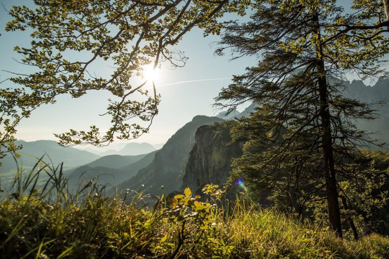
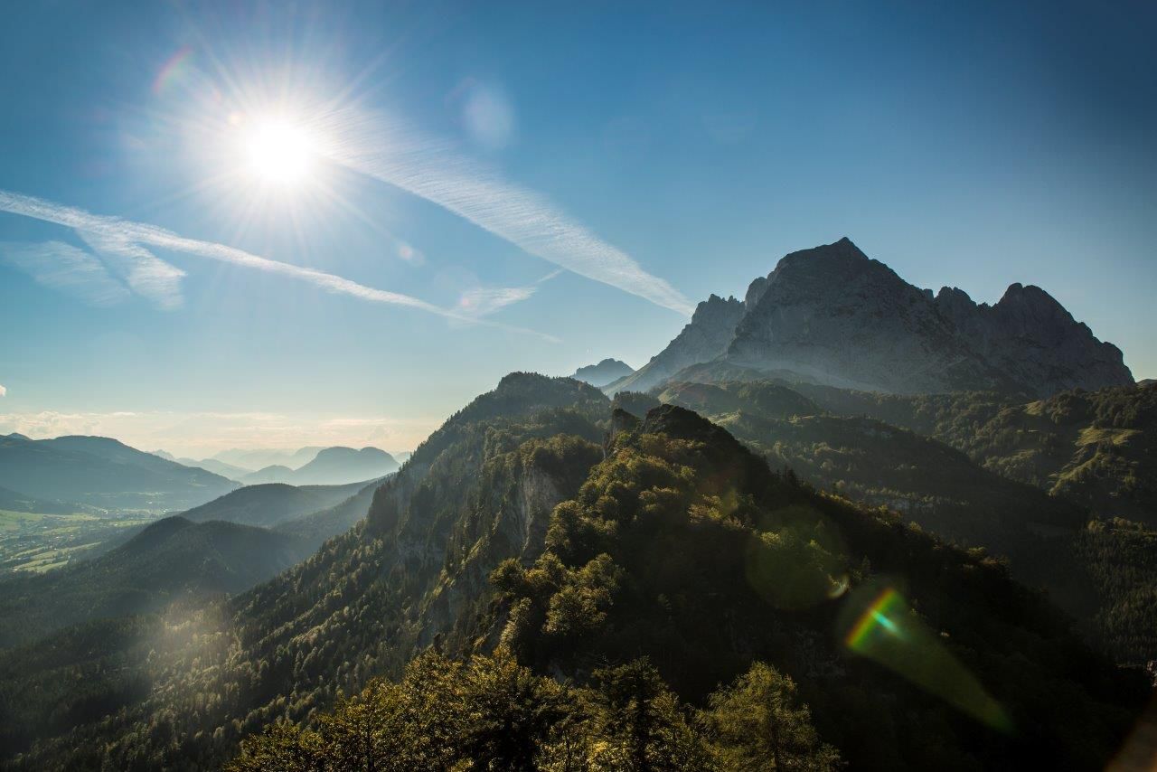
A varied tour far away from the hustle and bustle. Marvellous views of the Wilder Kaiser and fantastic vantage points await you!

Tour information

  • Requirement: medium
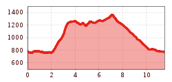
  • Length: 12.0 km
  • Duration: 6:00 h
  • Elevation uphill:900 hm
  • Elevation downhill:900 hm
Highest point1,370 m

Starting point

St. Johann in Tirol hiking parking lot Hinterkaiser

Finishing point

St. Johann in Tirol Hiking parking lot Hinterkaiser
  • Fitness level 4 / 6
  • Technique 4 / 6

Features

  • Circular route

Best time of year

  • January
  • February
  • March
  • April
  • May
  • June
  • July
  • August
  • September
  • October
  • November
  • December

Trail condition

asphalt, narrow mountain trails with partially exposed areas

Equipment

  • Steady trekking shoes 
  • Functional shirt
  • Snacks and full drink bottles
  • Fully charged mobile phone and charger 
  • First aid kit 
  • Sun protection 
  • Cash
Source: Kitzbüheler Alpen Management GmbH

Description

This hike starts at the hiking car park near Rummlerhof in St. Johann in Tirol, in the Hinterkaiser district. You follow the slightly uphill winding path, always following the signs to the hermitage. The narrow road leads into a dirt track, beautifully carved wooden panels with scenes from Jesus' Way of the Cross lead to the Maria Blut hermitage. This place of power invites you to linger and you already have a great view of St. Johann in Tirol and the surrounding region. The route continues along a rocky path that winds steadily uphill. We recommend taking a breather at the Gmail Chapel - here you can immortalise yourself in the summit booklet in the chapel or simply enjoy the view. The next section of your hike is a tough one, climbing steeply up to the Niederkaiser ridge. Once there, the path goes uphill and downhill, always with a wonderful view of the Kitzbüheler Horn and into the valley to St. Johann in Tirol. The Ursulablick with its beautiful summit cross is a spot where you can pause for a moment and enjoy the panorama. You reach the Gscheuerkopf (1279 m) via a short, secured climbing passage. Continue across alpine meadows to the Kaiser Niederalm and Granderalm. From here, you return to the Rummlerhof and the hiking car park via forest and root paths through the forest.

Nearby huts and mountain restaurants

Getting here

  • Arrival by public transport

    Bus: Line 4000, 4012, 4060, Bus stop: St. Johann in Tirol Steinlechnerplatz
    Train: Line 201, Train station St. Johann in Tirol

    Or you can take the convenient and free Okto hiking bus from Monday to Friday in the summer months.

    Bus and traintimes: 
    kitzalps.cc/mobile

  • Parking

    Coming from Salzburg on the B178, take the Salzburgerstraße, at the roundabout, take the first exit and follow the Hinterkaiserweg up to the Rummlerhof.
    Coming from the direction of Kitzbühel on the B161, at the second roundabout take the forth exit and follow the Hinterkaiserweg up to the Rummlerhof.

    This is how you get to the St. Johann in Tirol region: www.kitzbueheler-alpen.com/en/stjo/getting-here/holidays.html
    Hiking parking lot Hinterkaiserweg, close to Gasthof Rummlerhof

Weather

Today

cloudy
7°C/3°C
10%0l5 km/h

Wed

mainly clear
9°C/2°C
5%0l5 km/h

Thu

clear sky
11°C/0°C
0%0l5 km/h
Go to weather forecast

More tours in the surrounding area

  • Kaiserkrone - stage 5

    Difficulty:medium
    Length:10.8 kmDuration:5:15 hElevation uphill:880 m
  • Kaiserkrone - stage 4

    Difficulty:medium
    Length:16.1 kmDuration:6:30 hElevation uphill:640 m
  • Koasa Trail Stage 4

    Difficulty:medium
    Length:20.6 kmDuration:7:35 hElevation uphill:923 m
  • Koasa Trail Stage 1

    Difficulty:medium
    Length:16.9 kmDuration:6:45 hElevation uphill:937 m
  • Koasa Trail Stage 3

    Difficulty:medium
    Length:19.9 kmDuration:7:10 hElevation uphill:730 m
  • Koasa Trail Stage 5

    Difficulty:medium
    Length:14.0 kmDuration:6:45 hElevation uphill:935 m
  • The Wiegalm

    Difficulty:medium
    Length:10.5 kmDuration:4:45 hElevation uphill:680 m
  • Brechhorn

    Difficulty:medium
    Length:11.8 kmDuration:5:00 hElevation uphill:600 m
  • Teufelsgasse - "Devil's Lane"

    Difficulty:medium
    Length:7.6 kmDuration:3:00 hElevation uphill:343 m
  • Bichlachrunde

    Difficulty:easy
    Length:10.5 kmDuration:3:30 hElevation uphill:295 m
  • Möslalmkogel via Wörgl

    Difficulty:medium
    Length:10.3 kmDuration:3:30 hElevation uphill:580 m
  • Schafsiedel

    Difficulty:medium
    Length:15.6 kmDuration:7:00 hElevation uphill:1,280 m
  • Angerer Alm

    Difficulty:medium
    Length:5.7 kmDuration:2:45 hElevation uphill:652 m
  • Hike to the Großer Rettenstein

    Difficulty:difficult
    Length:14.4 kmDuration:8:00 hElevation uphill:1,338 m
  • 1st stage KAT Walk Alpine

    Difficulty:medium
    Length:20.0 kmDuration:6:00 hElevation uphill:800 m
  • 2nd stage KAT Walk Alpine

    Difficulty:medium
    Length:18.0 kmDuration:8:00 hElevation uphill:1,140 m
Newsletter

The mountain is calling? So does our newsletter!

In our monthly newsletter we reveal the best holiday tips for Tyrol.