Winter hike Panorama route Reith i.A.

closed
Reith im Alpbachtal / Kitzbüheler Alpen
Difficulty ratings: easy
Route length: 6.7 km
Duration: 2:00 h

Cozy and scenic winter hike in sunny Reith i.A.

Tour information

  • Requirement: easy
  • Length: 6.7 km
  • Duration: 2:00 h
  • Elevation uphill:35 hm
  • Elevation downhill:581 hm
Highest point1,222 m

Starting point

Reith in Alpbachtal

Finishing point

Reith in Alpbachtal
  • Fitness level 2 / 6
  • Technique 2 / 6

Features

  • suitable for pushchairs

Best time of year

  • January
  • February
  • March
  • April
  • May
  • June
  • July
  • August
  • September
  • October
  • November
  • December

Equipment

sturdy shoes

Source: Alpbachtal

Description

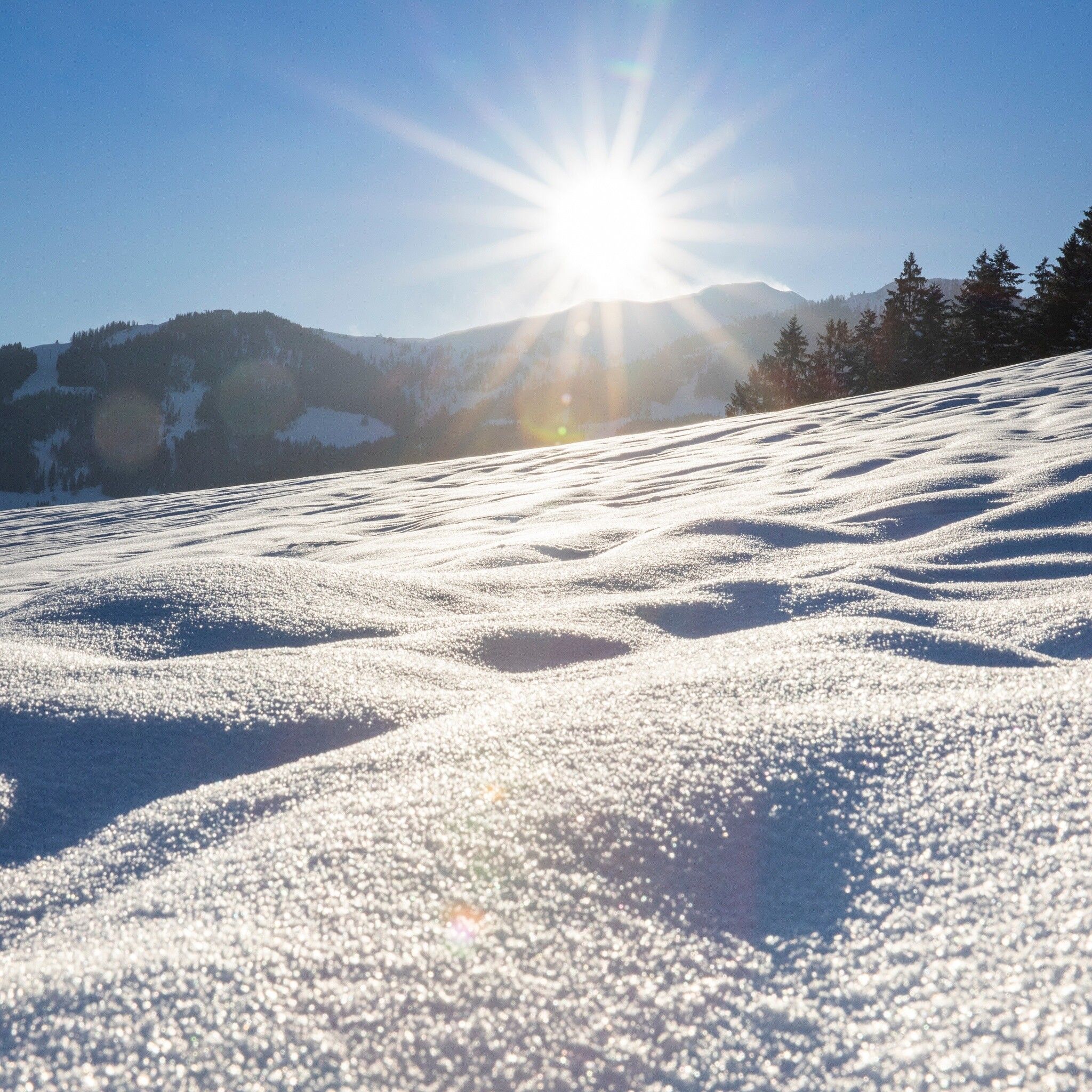
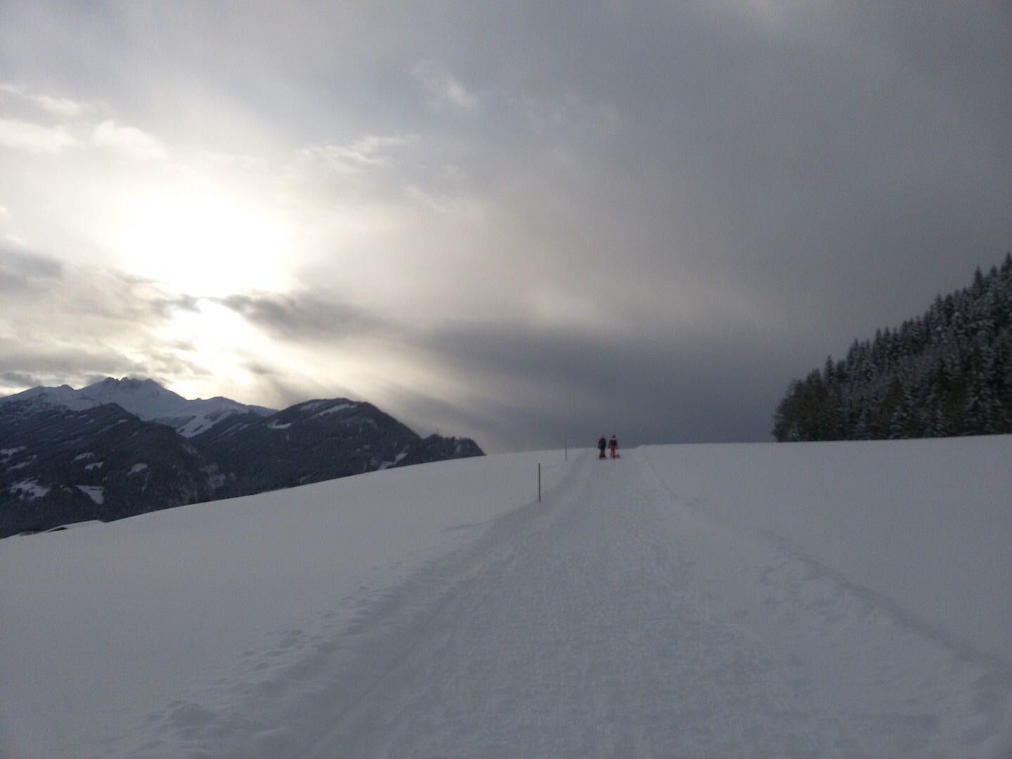
Winter hike on the Reither Kogel: an experience in snowy idyll

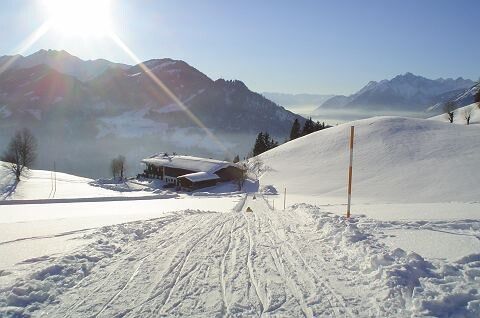
The starting point of this idyllic winter hike is the mountain station of the Reitherkogelbahn, reached after a relaxed ascent. Already when getting off, a magical snow landscape opens up inviting exploration. The path first leads left past the Nisslhof (R11).

After a short walk through the quiet nature, turn right at the fork in the path – towards Hinterkoglhof. Here begins the panorama route (R29), which lives up to its name. With every step, new breathtaking views open up of the surrounding mountains, deeply snow-covered forests, and the sparkling valley.

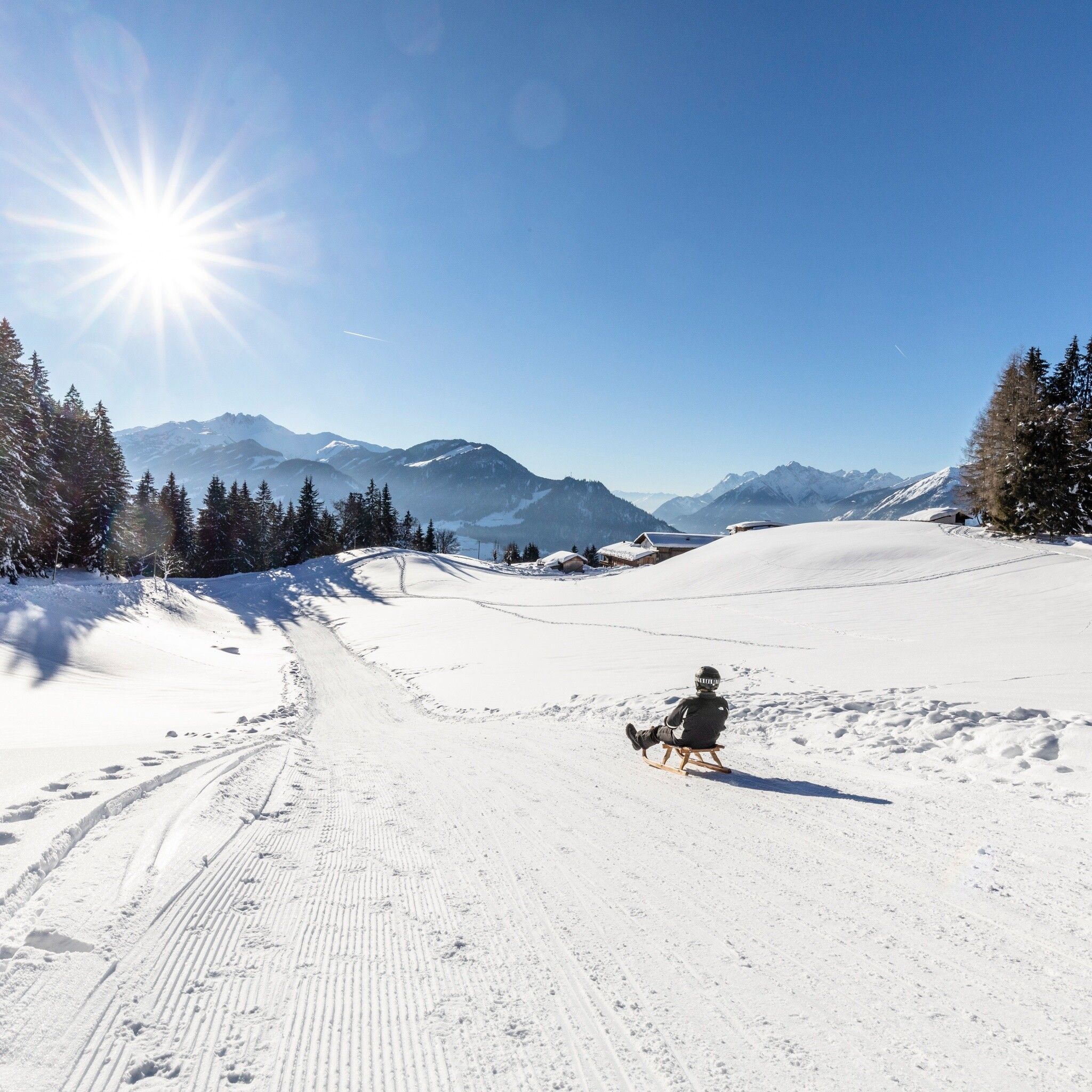
The descent to the valley leads to the romantic Hubkapelle, which stands in the middle of the winter landscape like a silent guardian. An ideal place to pause briefly and absorb the peaceful atmosphere. From here, it's only a few minutes back to the charming town center of Reith in Alpbachtal.

This hike combines breathtaking views, gentle exercise, and the magical calm of winter into an unforgettable experience. A perfect outing for all who want to fully enjoy the beauty of the cold season.

--> Info on rates for mountain and valley rides with the Reitherkogelbahn in winter

--> Note: Winter hiking behavior rules


Nearby huts and mountain restaurants

Getting here

  • Arrival by public transport

    www.vvt.at

    Bus 620 - Reitherkogelbahn stop

  • Parking

    valley station of the Reitherkogelbahn

More tours in the surrounding area

  • 3-day Family Tour Alpbachtal

    Difficulty: easy
    Length: 18.3 km Duration: 7:00 h Elevation uphill: 998 m
  • Kundler Klamm

    Opening hours: closed
    Difficulty: easy
    Length: 6.4 km Duration: 2:00 h Elevation uphill: 116 m
  • Wiedersberger Horn Panorama Path

    Difficulty: easy
    Length: 4.1 km Duration: 1:30 h Elevation uphill: 195 m
  • Discovering the Tiefenbach Gorge Hike

    Opening hours: closed
    Difficulty: medium
    Length: 5.7 km Duration: 3:30 h Elevation uphill: 669 m
  • Kaiser Gorge - loop trail

    Opening hours: closed
    Difficulty: easy
    Length: 4.2 km Duration: 1:00 h Elevation uphill: 198 m
  • Farmkehralm 1.521 m

    Difficulty: medium
    Length: 9.3 km Duration: 3:30 h Elevation uphill: 506 m
  • Barrier-free path Lake Reintal

    Difficulty: easy
    Length: 6.5 km Duration: 1:45 h Elevation uphill: 15 m
  • Day 1: 4 days - 4 summits tour

    Difficulty: medium
    Length: 9.8 km Duration: 5:00 h Elevation uphill: 984 m
  • Day 3: 4 days - 4 summits tour

    Difficulty: medium
    Length: 19.3 km Duration: 8:00 h Elevation uphill: 1,371 m
  • 4 days - 4 summits tour

    Difficulty: medium
    Length: 54.4 km Duration: 23:00 h Elevation uphill: 3,408 m
  • Voldöpper Spitze Loop Hike

    Difficulty: medium
    Length: 12.9 km Duration: 5:00 h Elevation uphill: 988 m
  • Loop tour Juppi Zauberwald

    Difficulty: easy
    Length: 2.5 km Duration: 1:00 h Elevation uphill: 93 m
  • 3-peak-tour Kienberg-Plessenberg-Heuberg

    Difficulty: medium
    Length: 8.6 km Duration: 4:30 h Elevation uphill: 779 m
Newsletter

The mountain is calling? So does our newsletter!

In our monthly newsletter we reveal the best holiday tips for Tyrol.