Mountain hikes Pillersee circular walk

St. Ulrich am Pillersee / Lofer Stone Mountains
Difficulty ratings: easy
Route length: 4.4 km
Duration: 1:10 h

Pillersee circular walk

Tour information

  • Requirement: easy
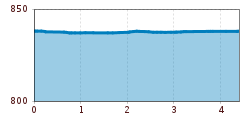
  • Length: 4.4 km
  • Duration: 1:10 h
  • Elevation uphill:10 hm
  • Elevation downhill:0 hm
Highest point854 m

Starting point

Car parking center / lake pillersee

Finishing point

Car parking center / lake pillersee
  • Fitness level 1 / 6
  • Technique 1 / 6

Features

  • Circular route
  • Suitable for families
  • suitable for pushchairs

Best time of year

  • January
  • February
  • March
  • April
  • May
  • June
  • July
  • August
  • September
  • October
  • November
  • December

Trail condition

Asphalt, gravel

Equipment

Outdoor clothing, drinks, sun protection (sunglasses, sun cream & cap), rain protection, cash; guest card if bus is used.
Source: Kitzbüheler Alpen Management GmbH

Description

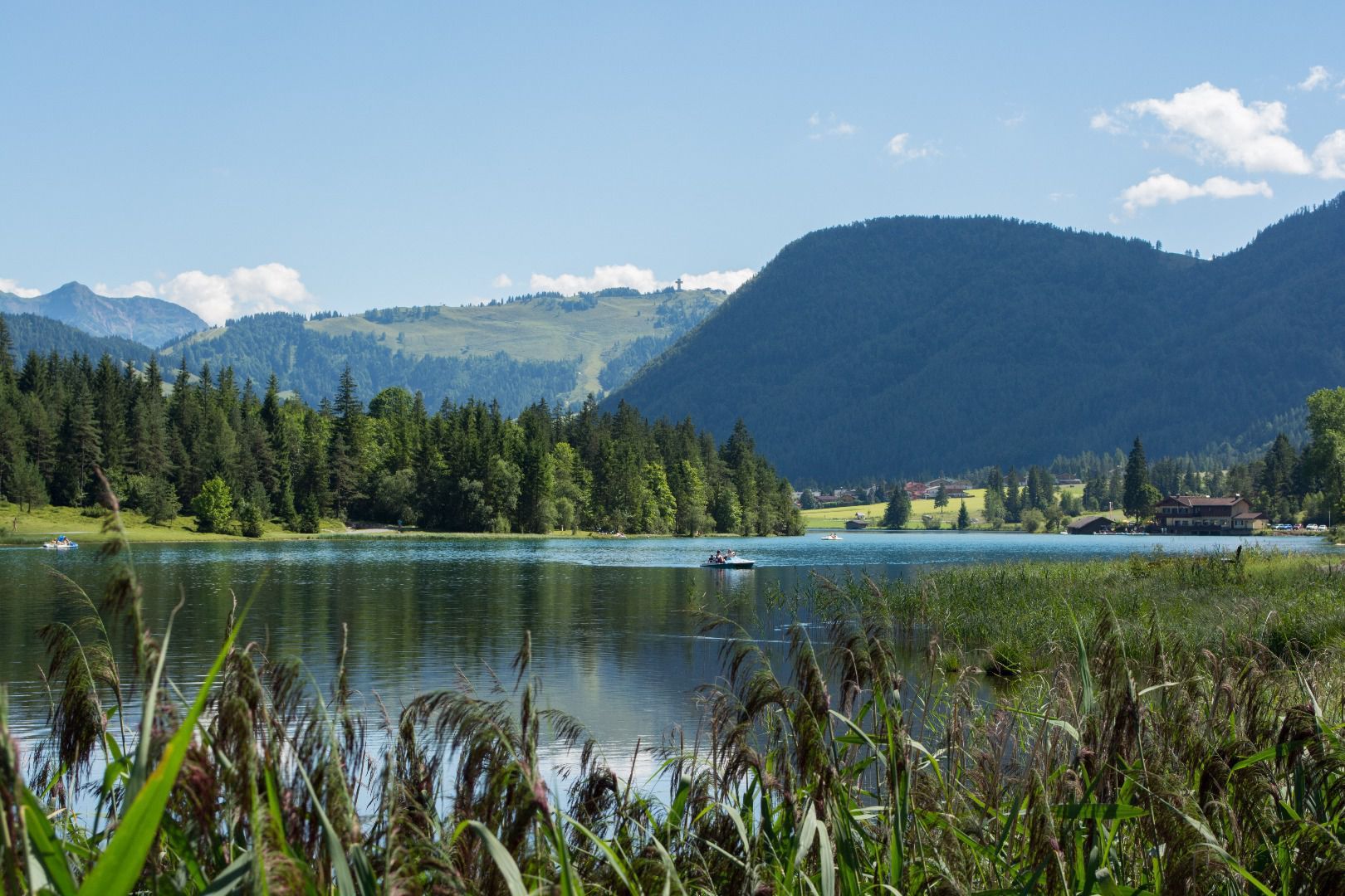
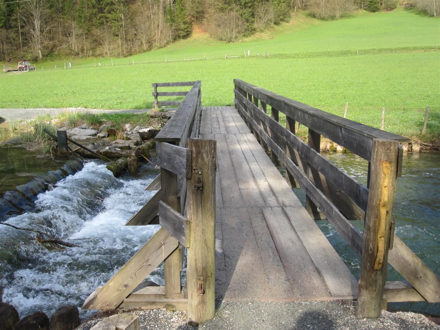
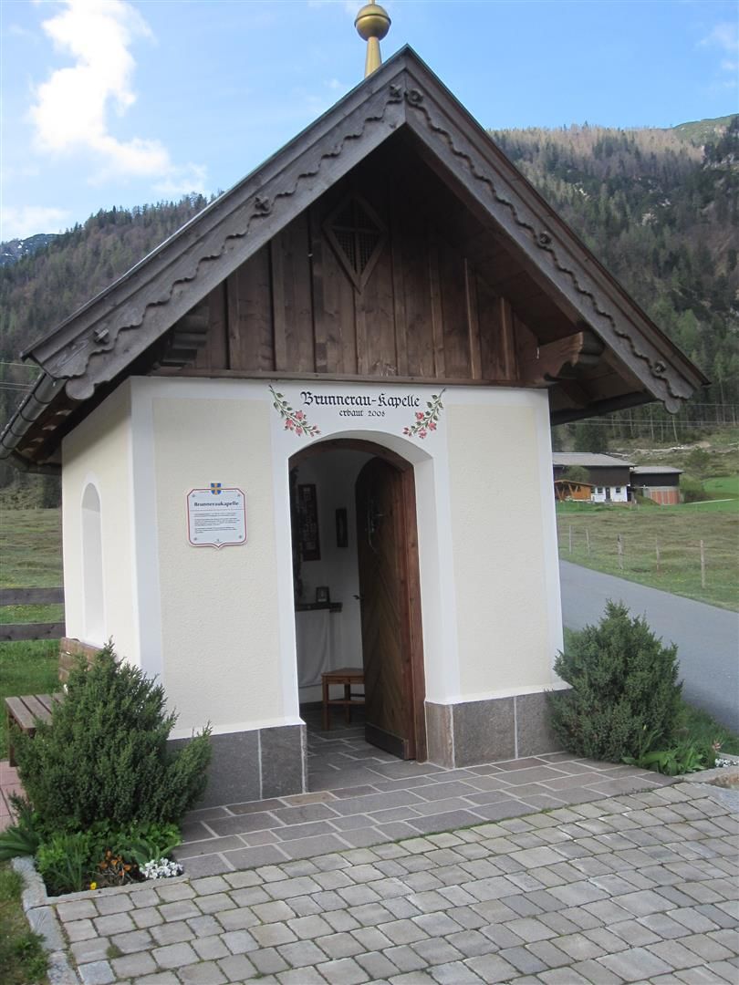
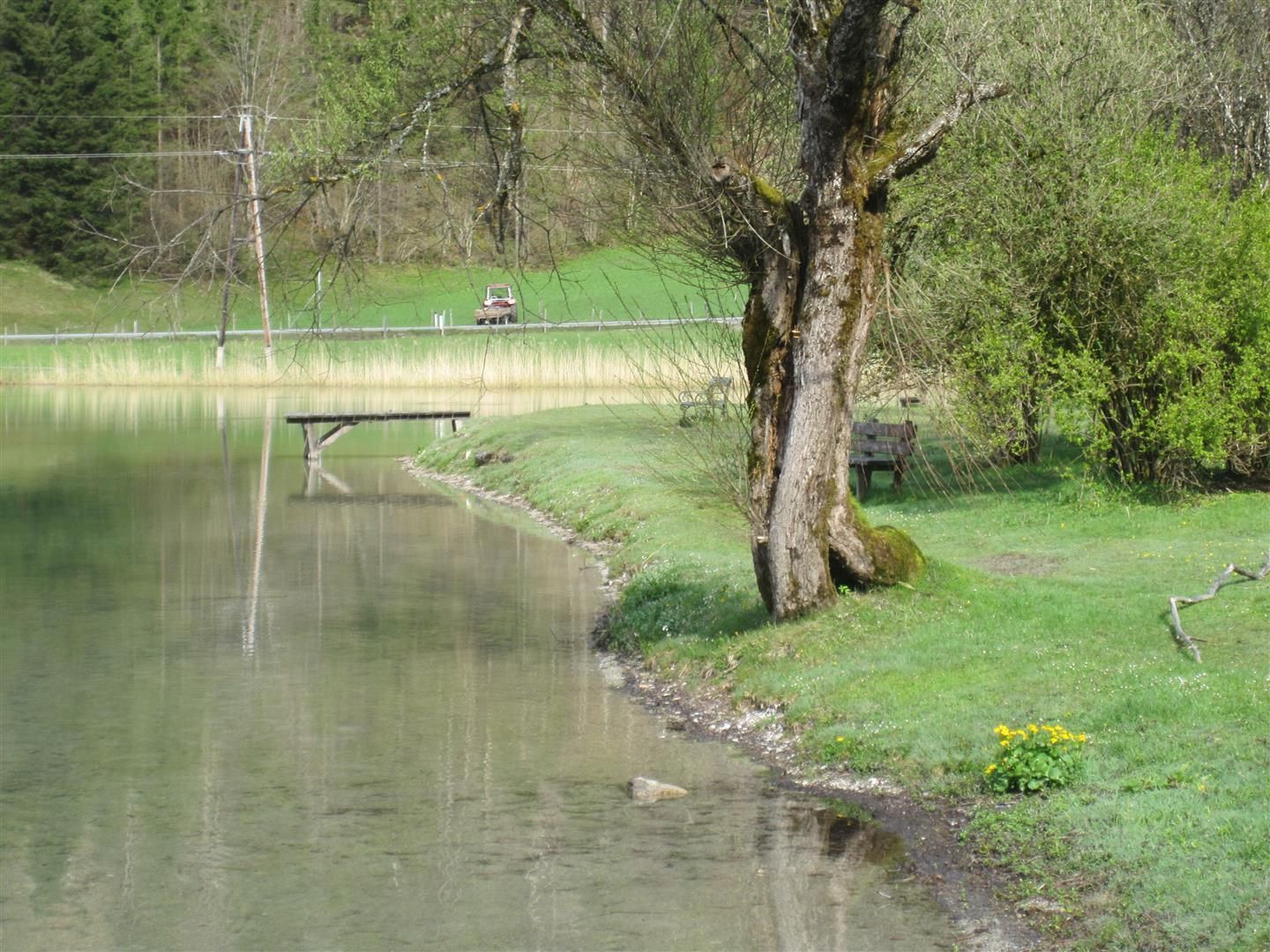
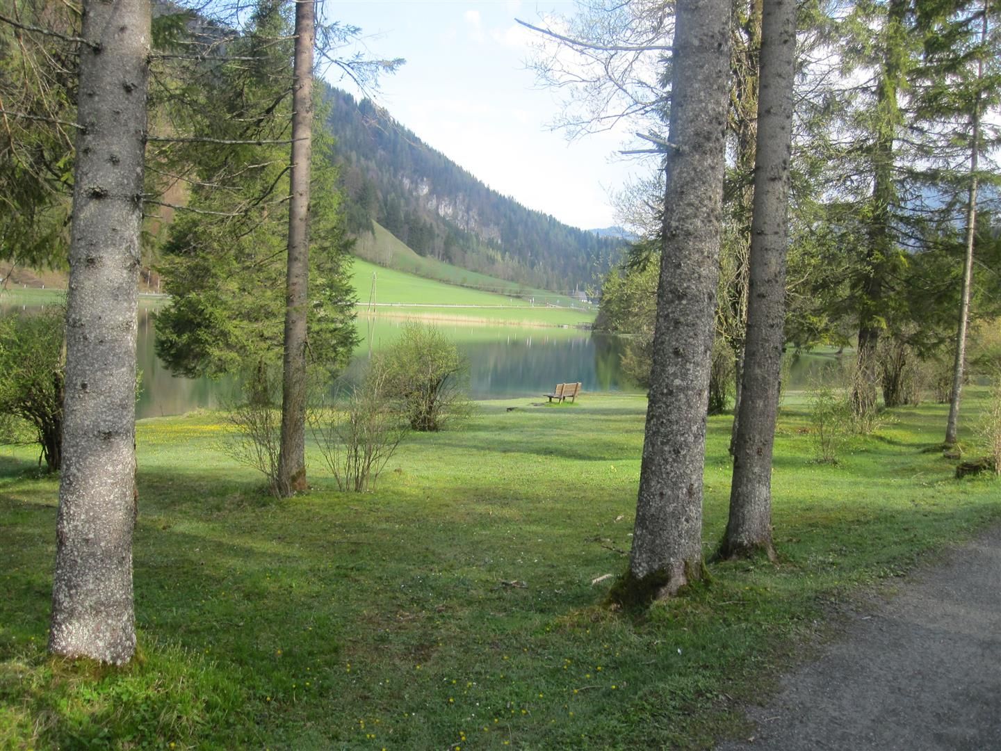
This walk starts at the Pillersee car park. Walk along the stream to the shore of the Pillersee. Walk along the right-hand side of the lake, past numerous rest and resting places to the kiosk at Pillersee (stand-up paddling, pedal boating, marble course, Steinbergkönig station, etc.). Follow the asphalt path a little further and cross the stream on the left over the small footbridge. Past the Pillersee-Blattl restaurant, the trail leads back to the centre and the starting point.


Nearby huts and mountain restaurants

Getting here

  • Arrival by public transport

    By bus: Bus connection from Ellmau / Kitzbühel / St. Johann i.T. / Lofer and within the Pillerseetal region. Bus stop St. Ulrich Gemeindeamt. Bus free of charge with guest card.

  • Parking

    Pillersee car park (chargeable).

Weather

Today

mainly clear
24°C/13°C
20%0l5 km/h

Fri

clear sky
29°C/13°C
50%0.8l10 km/h

Sat

light rain showers
22°C/13°C
70%4.2l10 km/h
Go to weather forecast

More tours in the surrounding area

  • Koasa Trail Stage 3

    Difficulty:medium
    Length:19.9 kmDuration:7:10 hElevation uphill:730 m
  • Koasa Trail Stage 5

    Difficulty:medium
    Length:14.0 kmDuration:6:45 hElevation uphill:935 m
  • Kaiserkrone - stage 5

    Difficulty:medium
    Length:10.8 kmDuration:5:15 hElevation uphill:840 m
  • Kaiserkrone - stage 4

    Difficulty:medium
    Length:16.1 kmDuration:6:30 hElevation uphill:640 m
  • Koasa Trail Stage 1

    Difficulty:medium
    Length:16.9 kmDuration:6:45 hElevation uphill:937 m
  • Koasa Trail Stage 4

    Difficulty:medium
    Length:20.6 kmDuration:7:35 hElevation uphill:923 m
  • Alpine Outdoor Gallery

    Difficulty:easy
    Length:6.7 kmDuration:2:00 hElevation uphill:117 m
  • The Wiegalm

    Difficulty:medium
    Length:10.5 kmDuration:4:45 hElevation uphill:680 m
  • Koasa Trail Stage 2

    Difficulty:medium
    Length:11.8 kmDuration:7:15 hElevation uphill:1,078 m
  • Angerer Alm

    Difficulty:medium
    Length:5.7 kmDuration:2:45 hElevation uphill:652 m
  • Adlerweg Day Tour

    Difficulty:medium
    Length:16.0 kmDuration:6:00 hElevation uphill:1,200 m
  • Möslalmkogel via Wörgl

    Difficulty:medium
    Length:10.3 kmDuration:3:30 hElevation uphill:580 m
  • Bichlachrunde

    Difficulty:easy
    Length:10.5 kmDuration:3:30 hElevation uphill:295 m
  • Eifersbacher Wasserfall

    Difficulty:medium
    Length:5.9 kmDuration:2:30 hElevation uphill:241 m
  • Brechhorn

    Difficulty:medium
    Length:11.8 kmDuration:5:00 hElevation uphill:600 m
  • Schafsiedel

    Difficulty:medium
    Length:15.6 kmDuration:7:00 hElevation uphill:1,280 m
Newsletter

The mountain is calling? So does our newsletter!

In our monthly newsletter we reveal the best holiday tips for Tyrol.