
Opening hours:Today closed
Place:Brandenberg
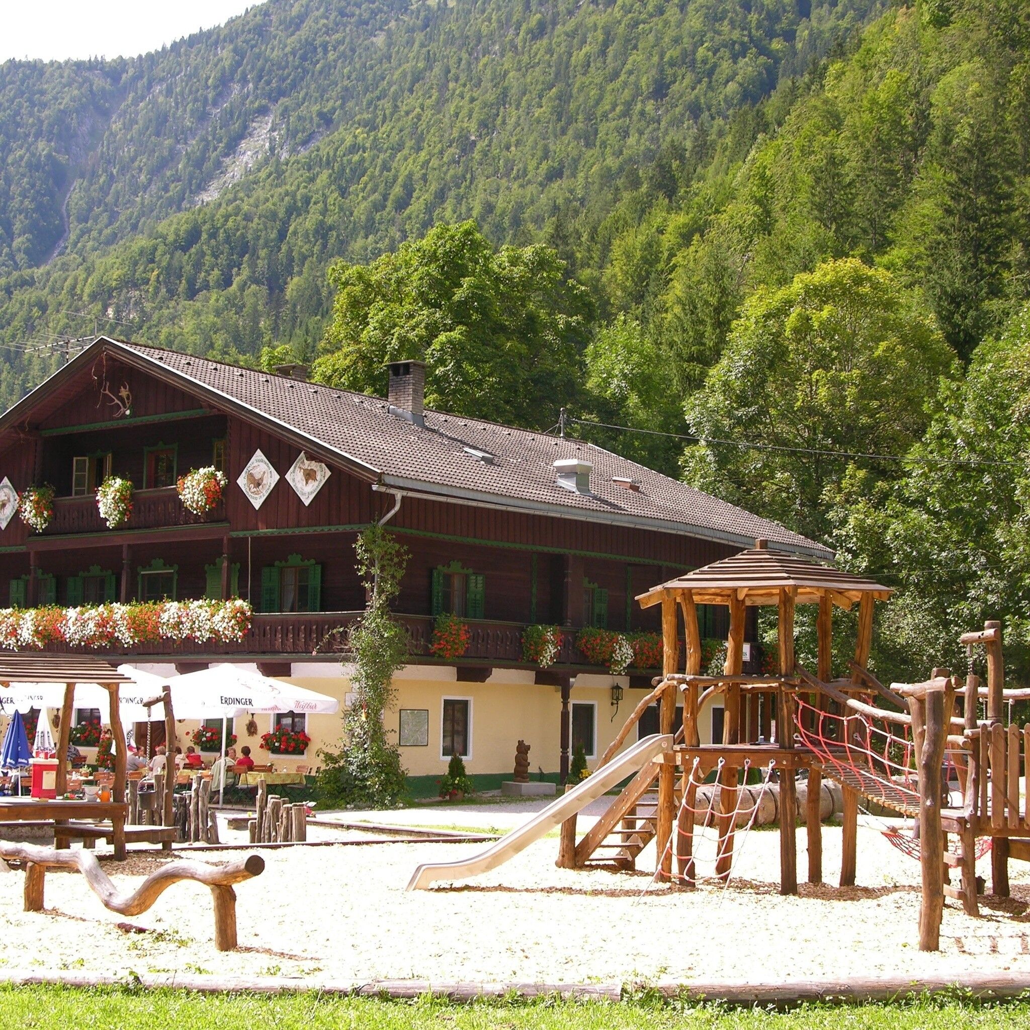
:Restaurant, Alpine pasture / hut / mountain restaurant
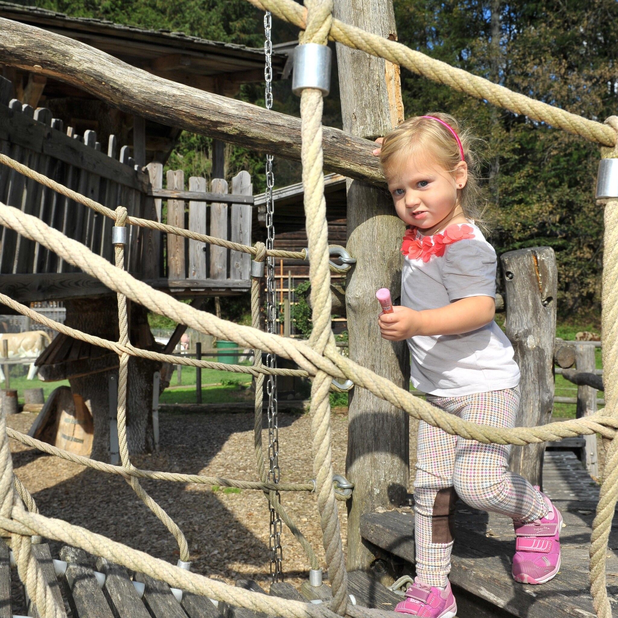
Family-friendly hike along the Brandenberger Ache - pram accessible (forest road)
Caution when wet
sturdy shoes
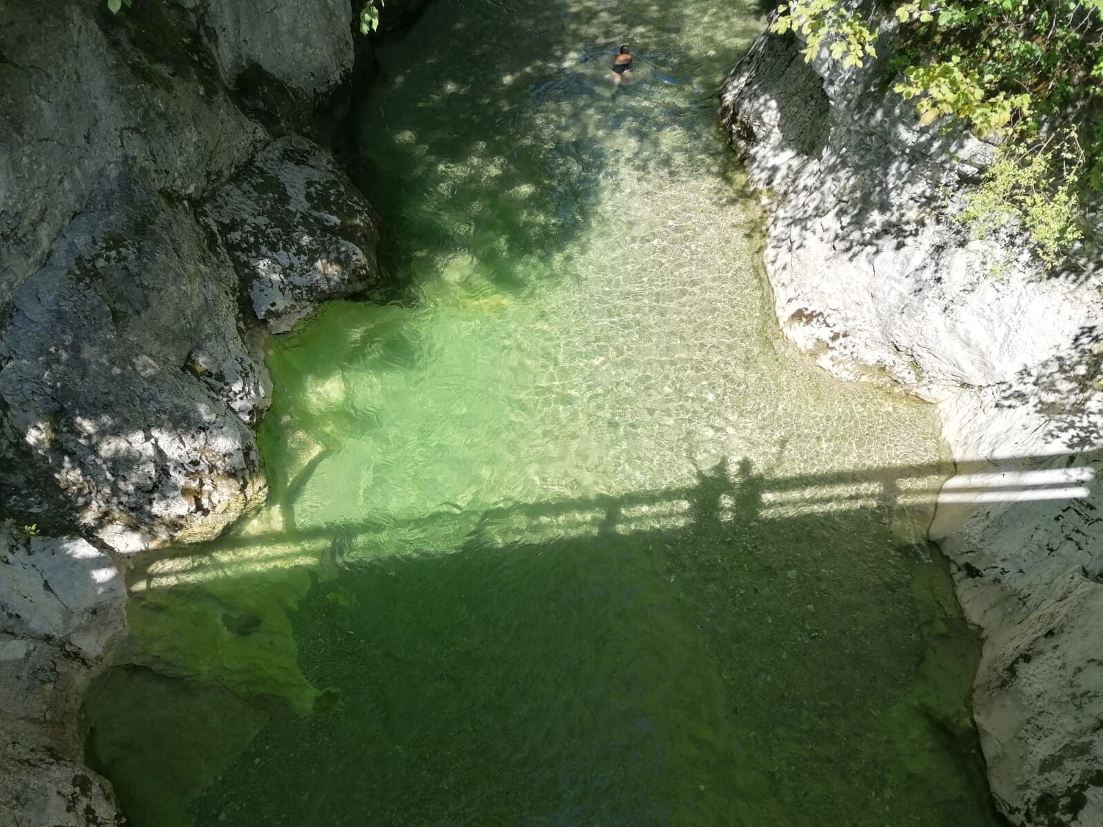
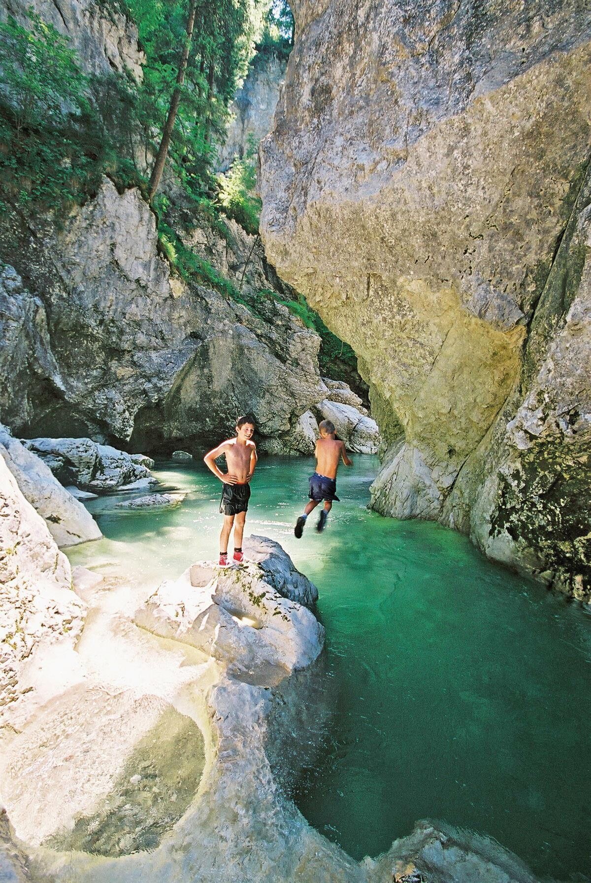
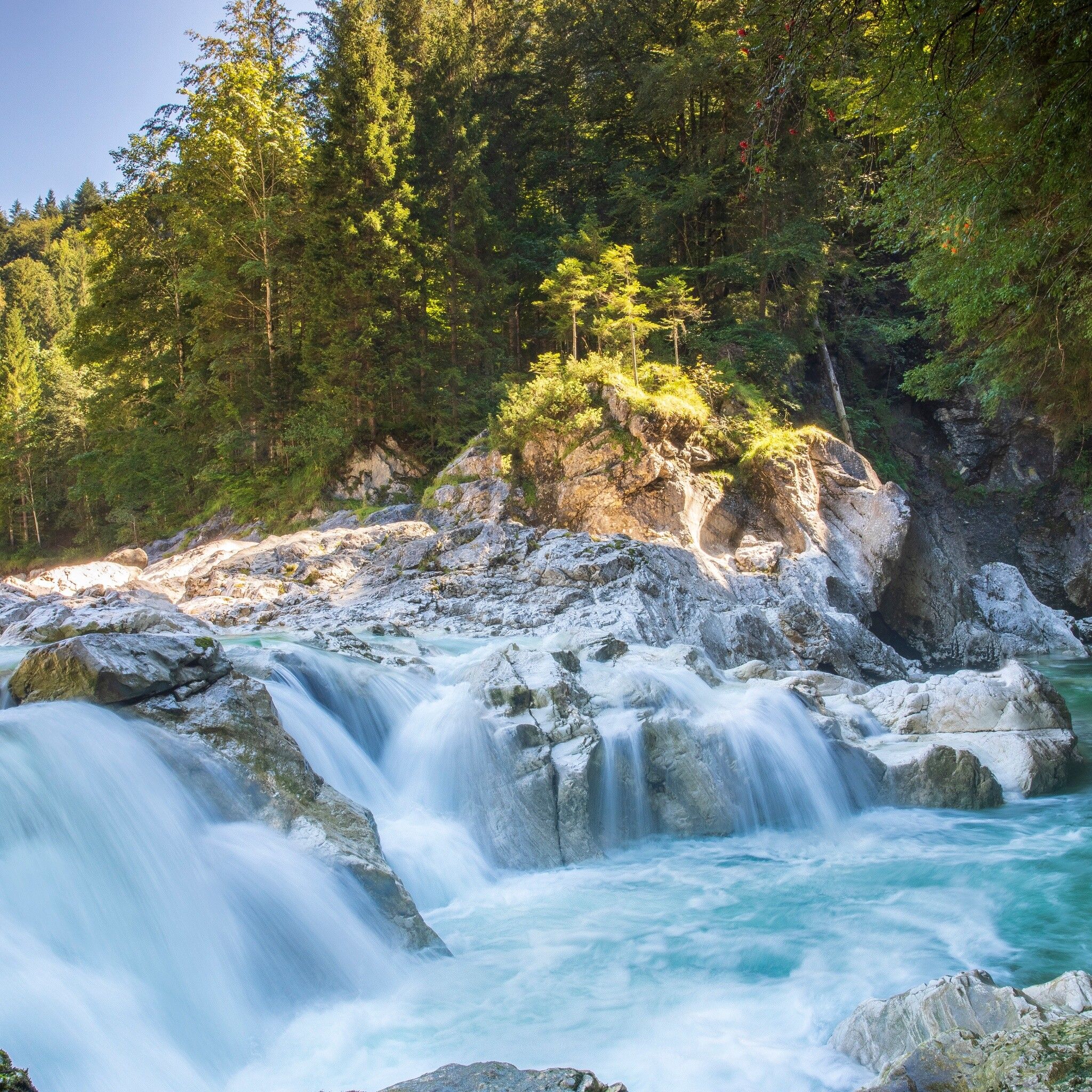
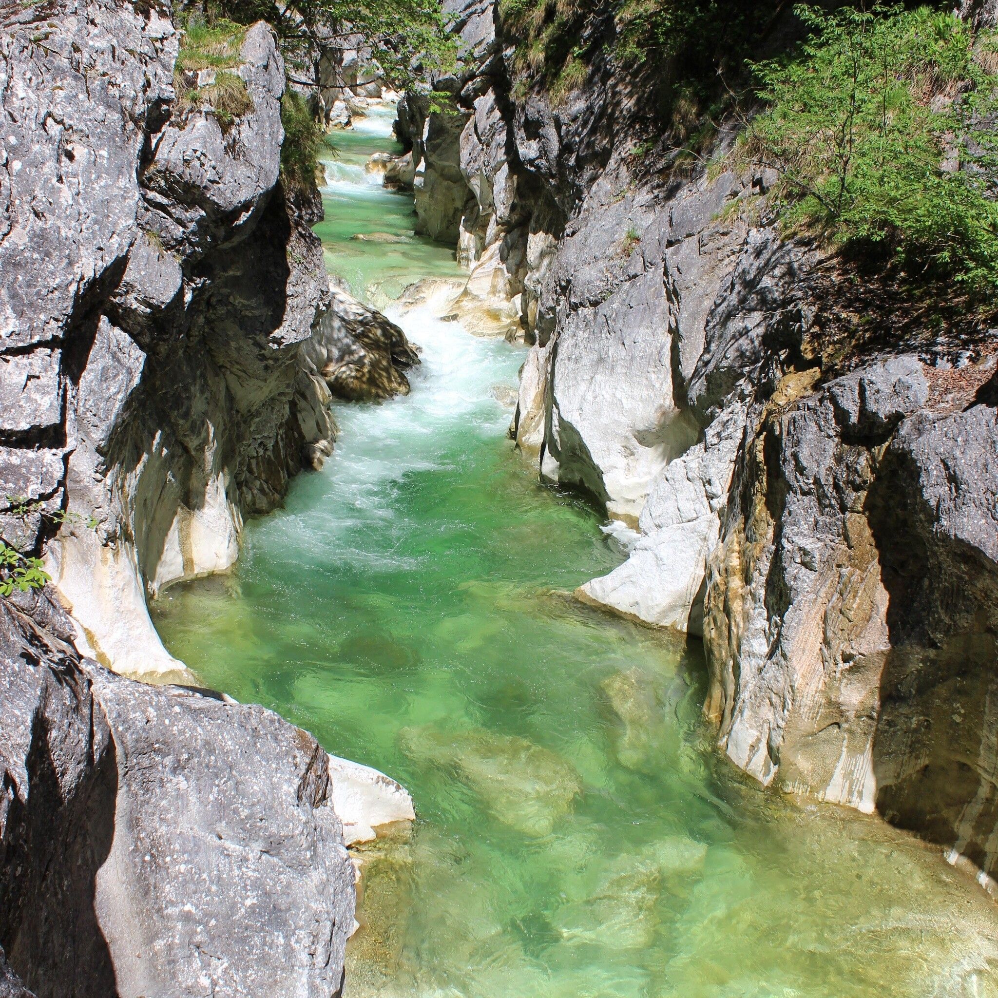
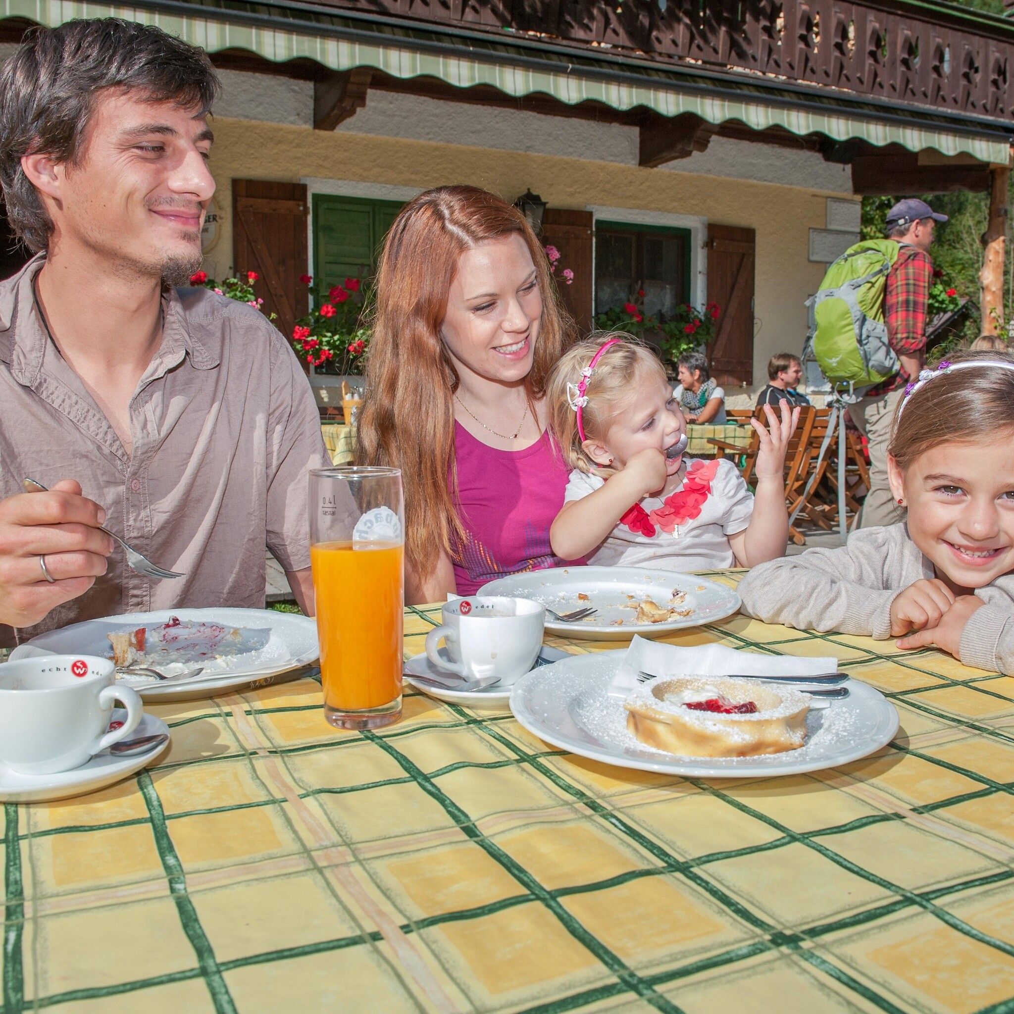
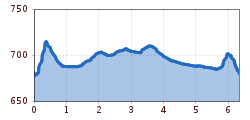
From Pinegg (district of Brandenberg) cross the Ache and immediately ascend left along the stream. The short steep section is quickly overcome and now it goes very leisurely through meadows and forests along the Brandenberger Ache downstream. There are many opportunities for a rest by the tame Ache and, of course, for a refreshment in summer.
After about 45 minutes you reach an intersection - here follow the signposting to Kaiserhaus. The impressive Ache is crossed once again and grants you a view into the Kaiserklamm. However, today we leave it "on the right" and after 5 minutes reach the Kaiserhaus.
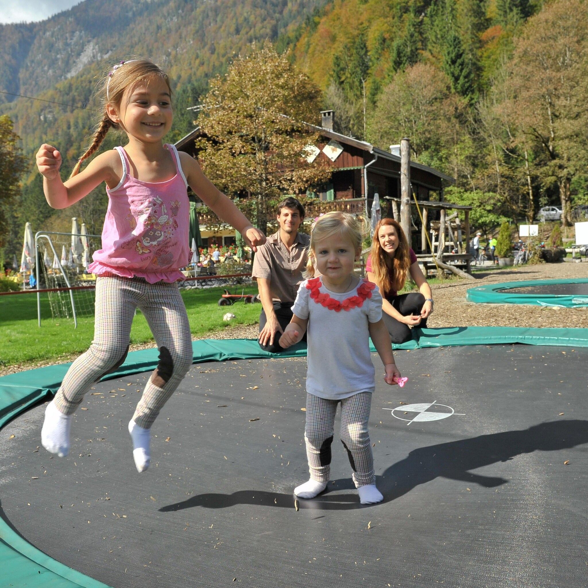
The path is excellent for families with children. The little ones can move freely almost along the entire route. The return route is either the same or downhill via the asphalt road as a circular hike. There are also some nice spots to stay by the stream here, including a cozy resting place.
Brandenberg/Pinegg


")


