Mountain hikes Radfeld high-level route

Radfeld / Kitzbüheler Alpen
Difficulty ratings: medium
Route length: 14.3 km
Duration: 5:00 h

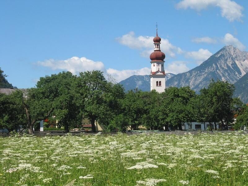
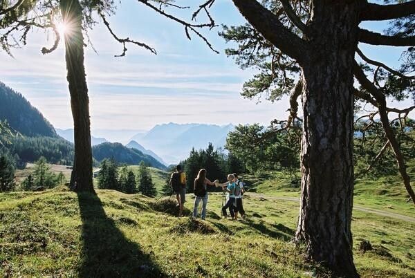
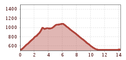
Forest and meadow hike with beautiful panorama included

Tour information

  • Requirement: medium
  • Length: 14.3 km
  • Duration: 5:00 h
  • Elevation uphill:627 hm
  • Elevation downhill:627 hm
Highest point1,087 m

Starting point

Radfeld

Finishing point

Radfeld
  • Fitness level 4 / 6

Best time of year

  • January
  • February
  • March
  • April
  • May
  • June
  • July
  • August
  • September
  • October
  • November
  • December

Equipment

Caution during the transitional season, there is considerable risk of slipping!

sturdy shoes, provisions

Source: Alpbachtal

Description

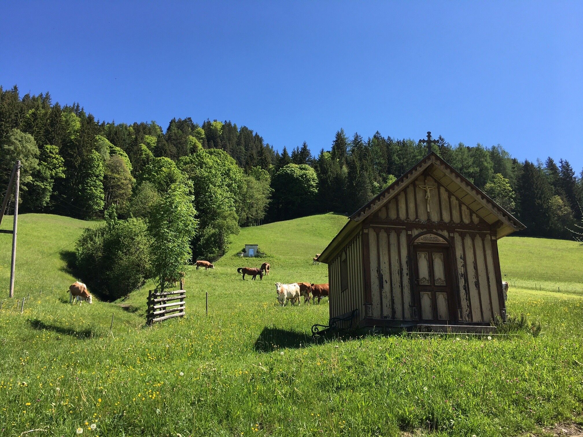
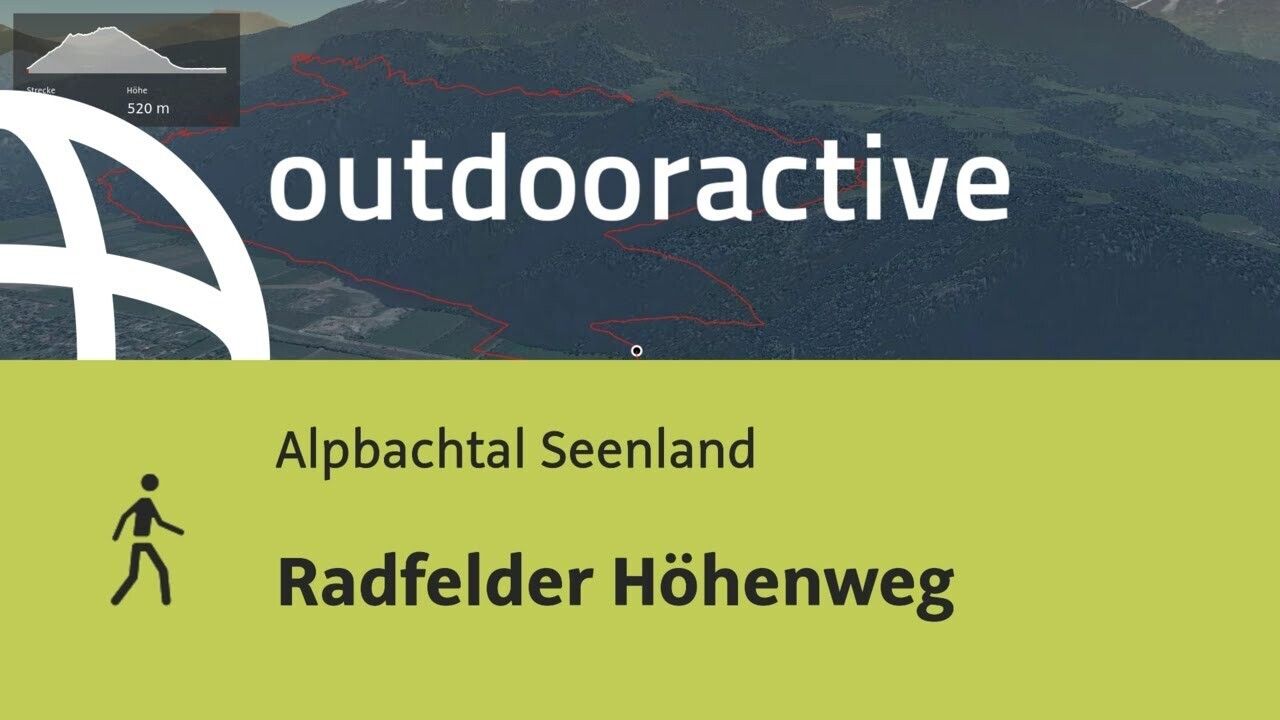
Past the allotment gardens/shooting range of Rattenberg to the forest chapel. Then left to the Wiesel (beautiful forest clearing), further on path B25 to Hauskogel on the backside of the mountain down to Zimmermoos. Then on path B14 (high-level route) to Grafenried. Follow the forest trail downhill. Walkway back to Radfeld or Rattenberg.


Getting here

  • Arrival by public transport

    www.vvt.at REX Rattenberg station or bus 621

  • Parking

    Rattenberg by the cemetery (east side)

More tours in the surrounding area

Newsletter

The mountain is calling? So does our newsletter!

In our monthly newsletter we reveal the best holiday tips for Tyrol.