Mountain hikes Reither Kogel - from mountain to valley

Reith im Alpbachtal / Kitzbüheler Alpen
Difficulty ratings: easy
Route length: 5.3 km
Duration: 1:30 h

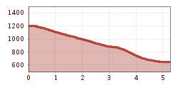
Comfortable downhill walk with a beautiful view of the Inn Valley, Rofan Mountains and Karwendel

Tour information

  • Requirement: easy
  • Length: 5.3 km
  • Duration: 1:30 h
  • Elevation uphill:20 hm
  • Elevation downhill:563 hm
Highest point1,204 m

Starting point

Mountain station Reitherkogelbahn

Finishing point

Valley station Reitherkogelbahn
  • Fitness level 2 / 6

Best time of year

  • January
  • February
  • March
  • April
  • May
  • June
  • July
  • August
  • September
  • October
  • November
  • December

Equipment

sturdy shoes

Source: Alpbachtal

Description

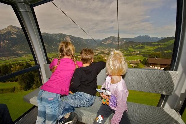
After the short ascent with the Reitherkogelbahn you hike via the Nisslhof (not run as a business) to the Rosenkranz Chapel. From there you continue downhill towards the Almstüberl Gschwendt.

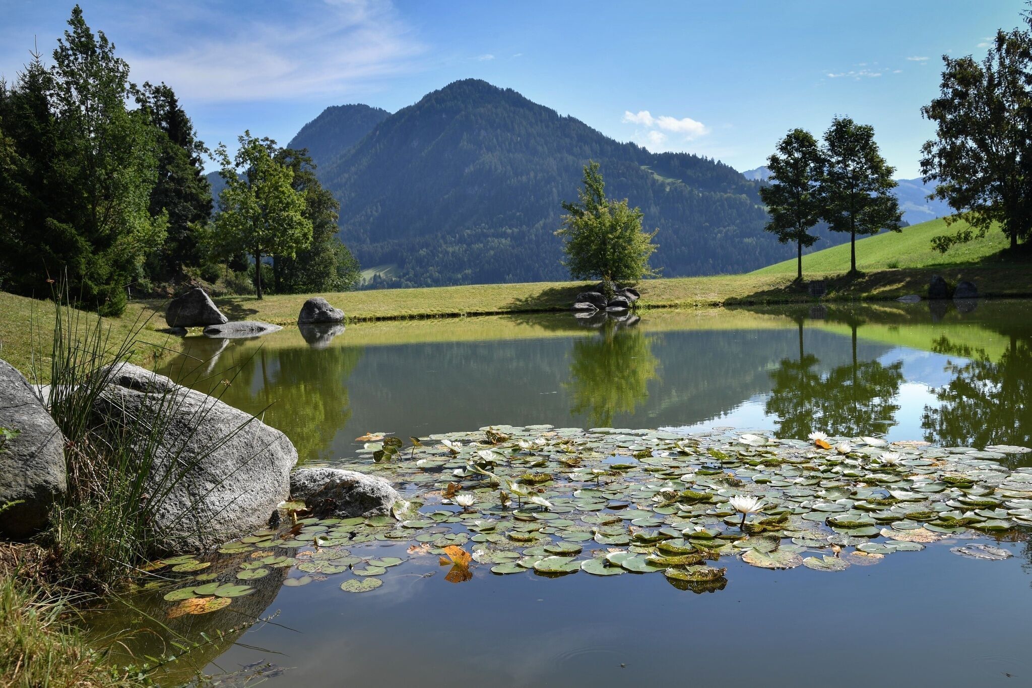
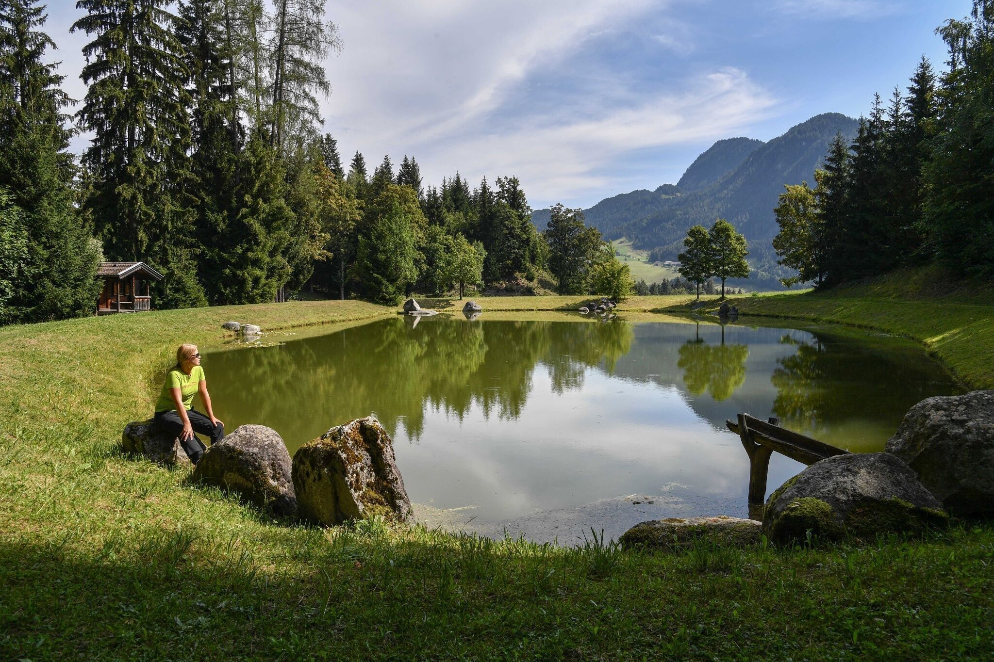
From the Almstüberl you reach the idyllic storage pond, which invites you to take a short break. Pass the Wölzenberg farm on the left, and along a very steep forest path down to the valley. You reach the Angererhof after about 10 minutes, from there walk towards the center of Reith im Alpbachtal / valley station Reitherkogelbahn (starting point).


Nearby huts and mountain restaurants

Getting here

  • Parking

    Valley station Reitherkogelbahn

More tours in the surrounding area

Newsletter

The mountain is calling? So does our newsletter!

In our monthly newsletter we reveal the best holiday tips for Tyrol.