Long-distance hike Section 2: Kronburg - Mils

Difficulty ratings: medium
Route length: 6.6 km
Duration: 2:00 h

Deeply engraved into the rock, indelibly in memory.

Tour information

  • Requirement: medium
  • Length: 6.6 km
  • Duration: 2:00 h
  • Elevation uphill:71 hm
  • Elevation downhill:270 hm
Highest point963 m

Starting point

Imsterberg municipal office

Finishing point

Kronburg
  • Fitness level 2 / 6
  • Technique 2 / 6

Features

  • Suitable for families

Best time of year

  • January
  • February
  • March
  • April
  • May
  • June
  • July
  • August
  • September
  • October
  • November
  • December

Trail condition

Mainly gravel and forest floor, towards Mils a few metres on asphalt

Equipment

Clothing appropriate to the weather, sufficient water

Description

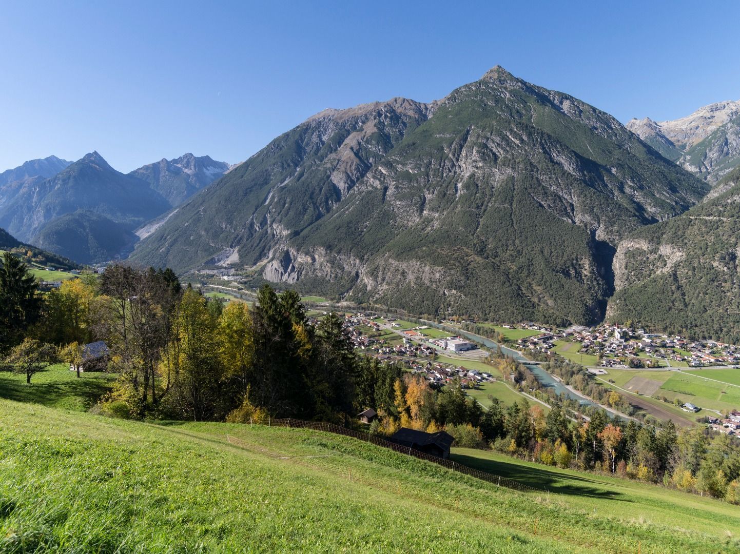
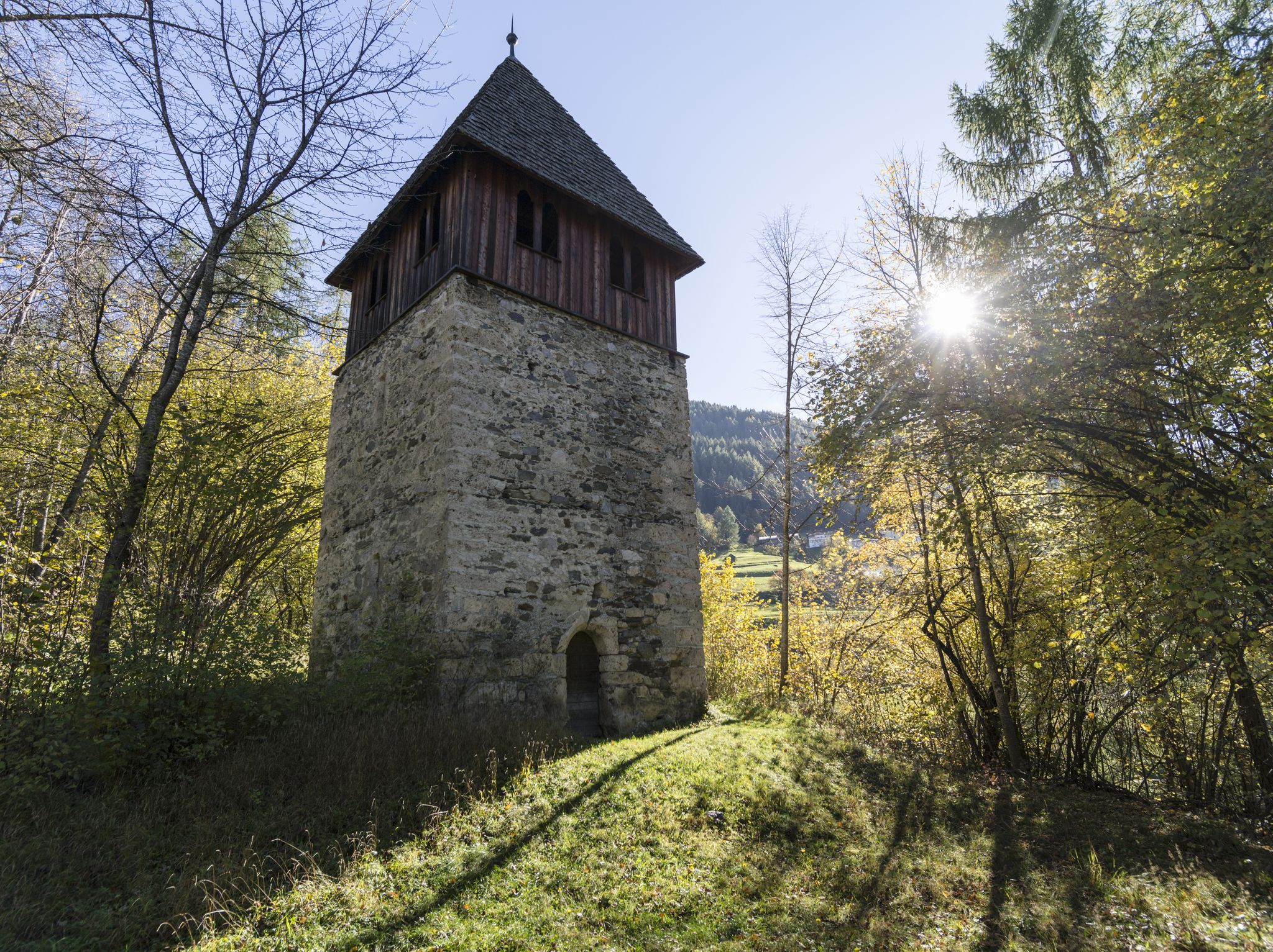
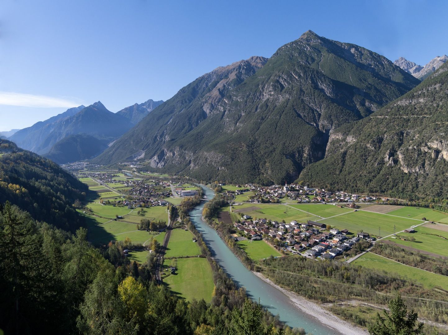
After a refreshment stop at the Sisters of Mercy at the Kronburg restaurant, the trail passes the impressive Kronburg Tobel gorge. Follow the path further to Obsaurs. The little church of St. Vigil with its Roman tower invites you to linger. Following the original route of the Way of St. James, the trail continues via Ried to Saurs, leads through the settlement and over the Inn bridge to the village centre of Mils bei Imst.
 

More tours in the surrounding area

Newsletter

The mountain is calling? So does our newsletter!

In our monthly newsletter we reveal the best holiday tips for Tyrol.