
Opening hours:Open today
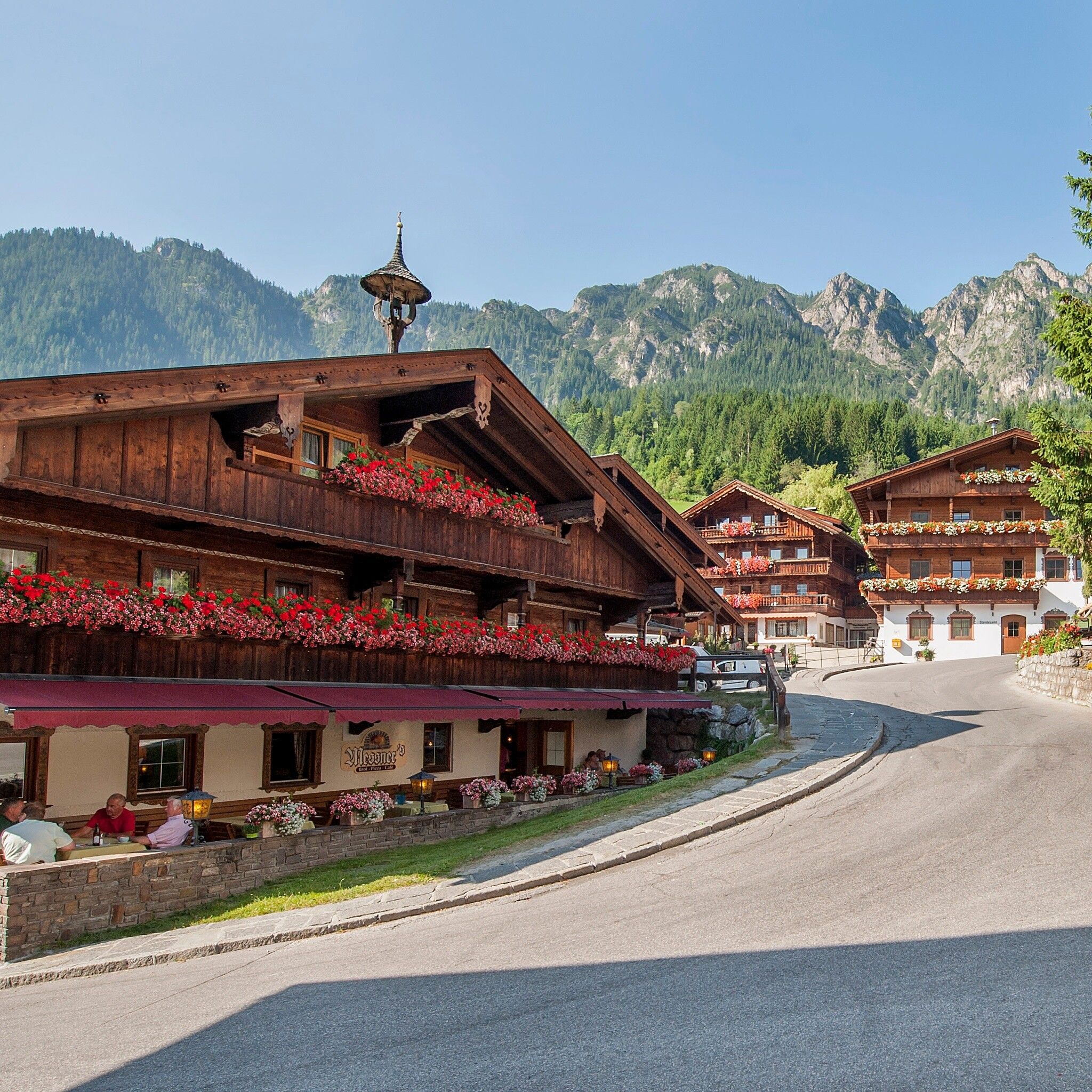
Place:Alpbach
:Restaurant, café
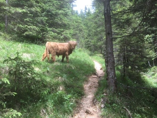
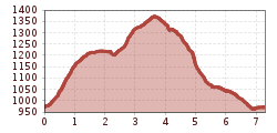
Varied hike with many impressions from Alpbach via the Steinweg and the Mühlbachweg.

sturdy shoes, weatherproof clothing
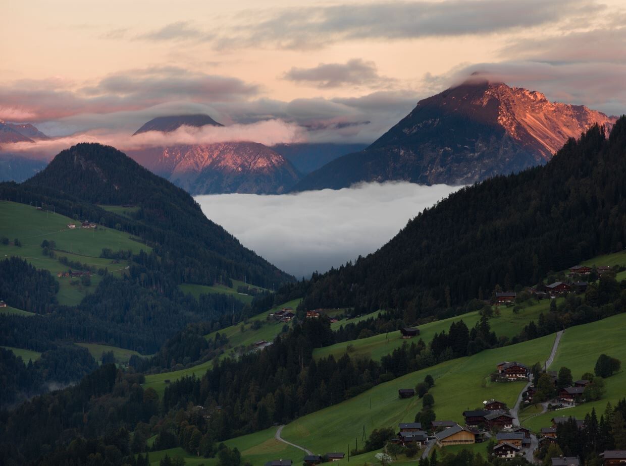
The route starts in the centre of Alpbach, passing the church on the left to Hotel Böglerhof. Immediately after the hotel, turn left and go uphill via a beautiful meadow path to the Stammgästek forest (all long-standing guests of Alpbach get their own tree planted) and to the district "Hausberg". At the last farm, turn right following the signs "Steinweg" and path no. A23. The renovated path now leads partly uphill towards "Hösljoch". Enjoy the magnificent view over Alpbach and its mountain worlds from the viewing platform!
Below the Hösljoch and the Hösl chapel, follow the path downhill towards Alpbach. After about 300 m, at the alpine pastures, leave the forest road and turn right onto the Blaiken path, path no. 23, continue downhill and at the next path crossing go straight downhill onto the asphalt road, cross the Dorfer Bach bridge to the left towards the "Upper High Path" but then immediately turn right again onto path no. A3 and back to the village and the starting point via a section of the "Mühlbachweg", opened in 2013.
www.vvt.at bus 620
in front of the village centre


")


