Mountain hikes The Schrandlhof

Westendorf / Kitzbühel Alps
Difficulty ratings: medium
Route length: 11.7 km
Duration: 3:30 h

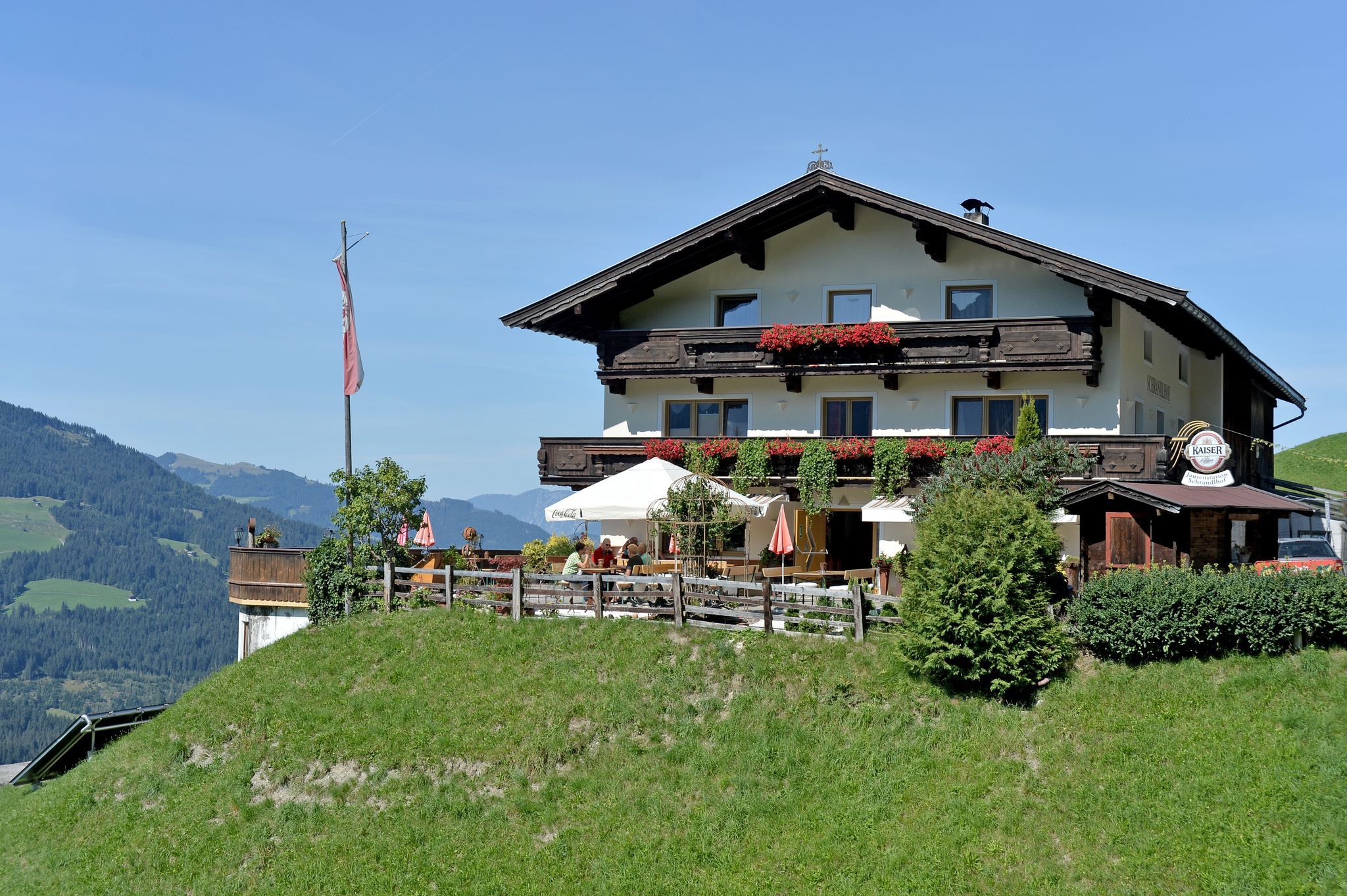
Mountain inn with tradition!

Tour information

  • Requirement: medium
  • Length: 11.7 km
  • Duration: 3:30 h
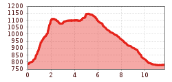
  • Elevation uphill:500 hm
  • Elevation downhill:500 hm
Highest point1,180 m

Starting point

Center Westendorf

Finishing point

Center Westendorf
  • Fitness level 3 / 6
  • Technique 2 / 6

Features

  • Circular route
  • Suitable for families

Best time of year

  • January
  • February
  • March
  • April
  • May
  • June
  • July
  • August
  • September
  • October
  • November
  • December

Trail condition

asphalt road, gravel road, mountain trail

Equipment

hiking shoes, weather protection, food, drink, first aid kit
Source: Kitzbüheler Alpen Management GmbH

Description

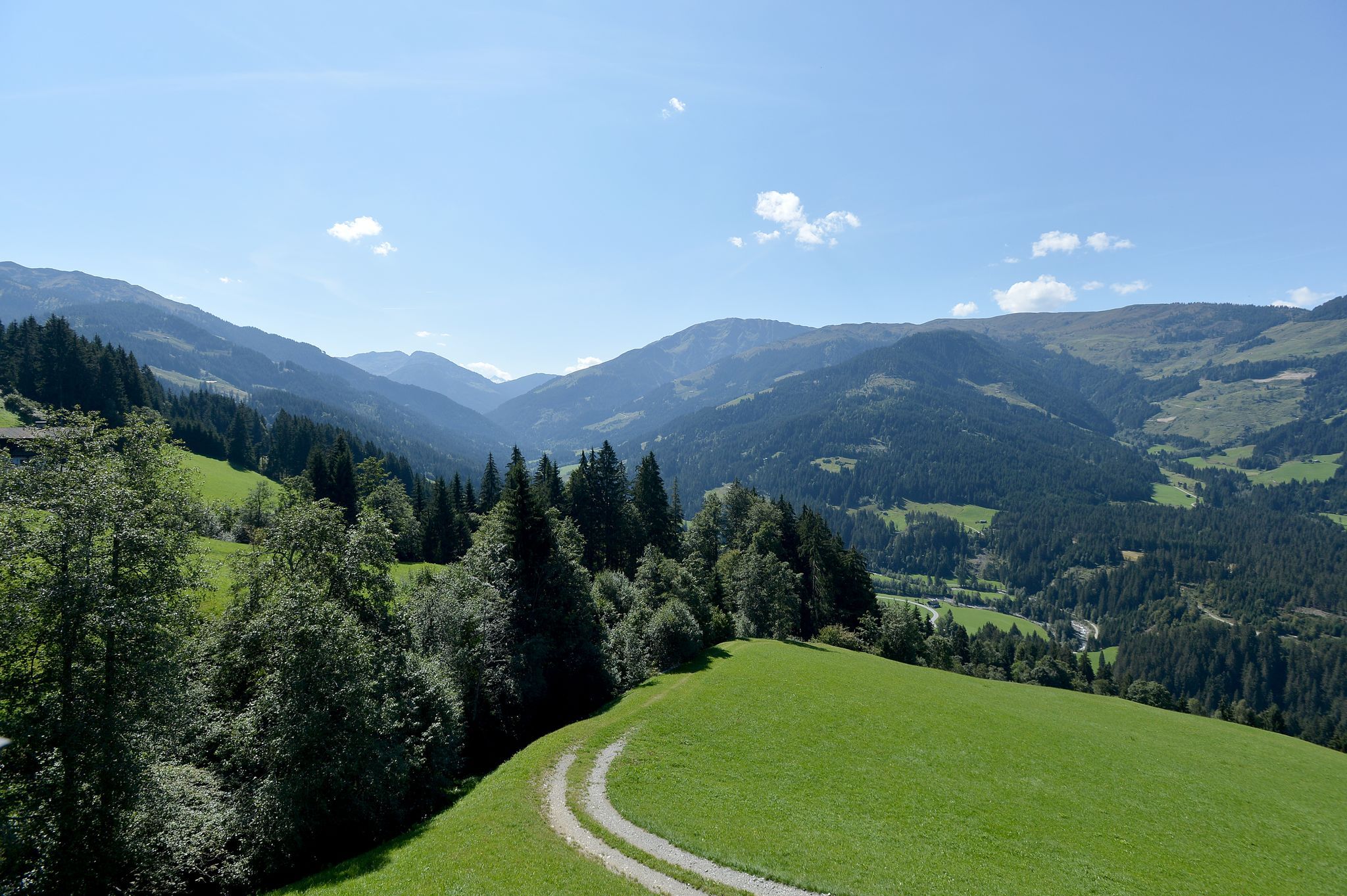
This round trip begins in Westendorf’s village centre where we walk uphill along the Pfarrgasse to just after the “Cafe Bruchstall”.   Turning left onto the hiking trail to the “Zieplhöfen”, we continue on to the mountain restaurant “Alte Mittel”.  From here we keep to the right, walking between the two farms, the “Ellmerer Bauernhöfe”, and after a short distance continue uphill along the mountain road.  At the next bend to the right, we branch off to the left and follow the road, initially slightly uphill and then a short descent. Again, at a bend to the right, we branch off to the left (immediately at a shed), onto a hiking trail.  This trail leads through forests and Alpine meadows to the mountain farm “Gumpau”.  The hiking trail ends here and joins up with the access road to the farm.  We continue on this road, slightly downhill and arrive at the mountin inn, “Schrandlhof”.  After well-earned refreshments of home-made Tyrolean specialities, we continue along the asphalt road, steadily downhill, in the direction of Westendorf.   Just above the village we have the opportunity to branch off onto a forest trail.  Following this, we arrive at the driving range and keeping to the right we complete our final leg of the tour back to the village centre.


Nearby huts and mountain restaurants

Getting here

Weather

Today

light rain showers
26°C/11°C
55%2l5 km/h

Tue

clear sky
29°C/12°C
20%1.2l5 km/h

Wed

light rain showers
19°C/11°C
85%22.4l5 km/h
Go to weather forecast

More tours in the surrounding area

  • Koasa Trail Stage 3

    Difficulty:medium
    Length:19.9 kmDuration:7:10 hElevation uphill:730 m
  • Koasa Trail Stage 5

    Difficulty:medium
    Length:14.0 kmDuration:6:45 hElevation uphill:935 m
  • Kaiserkrone - stage 5

    Difficulty:medium
    Length:10.8 kmDuration:5:15 hElevation uphill:840 m
  • Kaiserkrone - stage 4

    Difficulty:medium
    Length:16.1 kmDuration:6:30 hElevation uphill:640 m
  • Koasa Trail Stage 1

    Difficulty:medium
    Length:16.9 kmDuration:6:45 hElevation uphill:937 m
  • Koasa Trail Stage 4

    Difficulty:medium
    Length:20.6 kmDuration:7:35 hElevation uphill:923 m
  • The Wiegalm

    Difficulty:medium
    Length:10.5 kmDuration:4:45 hElevation uphill:680 m
  • Angerer Alm

    Difficulty:medium
    Length:5.7 kmDuration:2:45 hElevation uphill:652 m
  • Möslalmkogel via Wörgl

    Difficulty:medium
    Length:10.3 kmDuration:3:30 hElevation uphill:580 m
  • Bichlachrunde

    Difficulty:easy
    Length:10.5 kmDuration:3:30 hElevation uphill:295 m
  • Koasa Trail Stage 2

    Difficulty:medium
    Length:11.8 kmDuration:7:15 hElevation uphill:1,078 m
  • Alpine Outdoor Gallery

    Difficulty:easy
    Length:6.7 kmDuration:2:00 hElevation uphill:117 m
  • Brechhorn

    Difficulty:medium
    Length:11.8 kmDuration:5:00 hElevation uphill:600 m
  • Schafsiedel

    Difficulty:medium
    Length:15.6 kmDuration:7:00 hElevation uphill:1,280 m
  • Eifersbacher Wasserfall

    Difficulty:medium
    Length:5.9 kmDuration:2:30 hElevation uphill:241 m
Newsletter

The mountain is calling? So does our newsletter!

In our monthly newsletter we reveal the best holiday tips for Tyrol.