Mountain hikes Thiemeweg

Matrei in Osttirol / Venedigergruppe
Difficulty ratings: medium
Route length: 16.0 km
Duration: 5:30 h

Thiemeweg

Tour information

  • Requirement: medium
  • Length: 16.0 km
  • Duration: 5:30 h
  • Elevation uphill:790 hm
  • Elevation downhill:790 hm
Highest point1,450 m

Starting point

Proßegg 980m

Finishing point

Kräuterwirtshaus Strumerhof 1.451m
  • Fitness level 4 / 6
  • Technique 2 / 6

Features

  • Suitable for families

Best time of year

  • January
  • February
  • March
  • April
  • May
  • June
  • July
  • August
  • September
  • October
  • November
  • December
Source: TVB Osttirol

Description

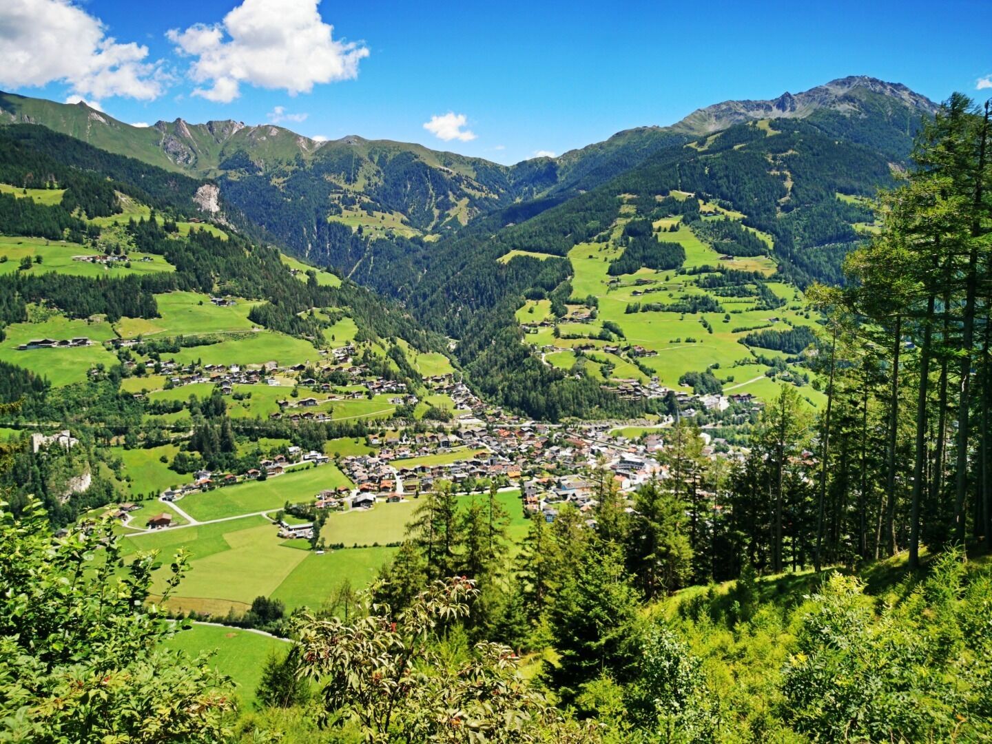
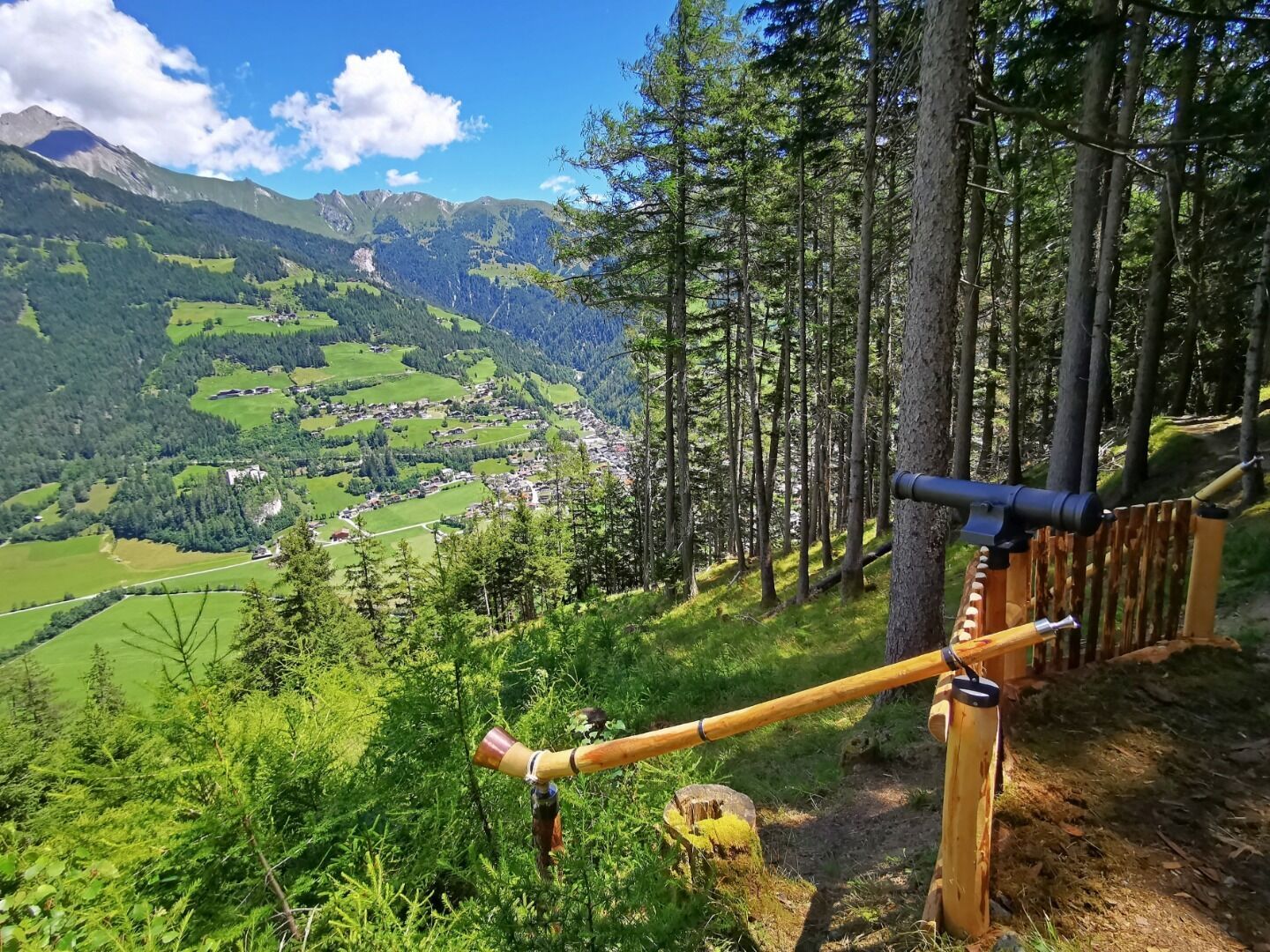
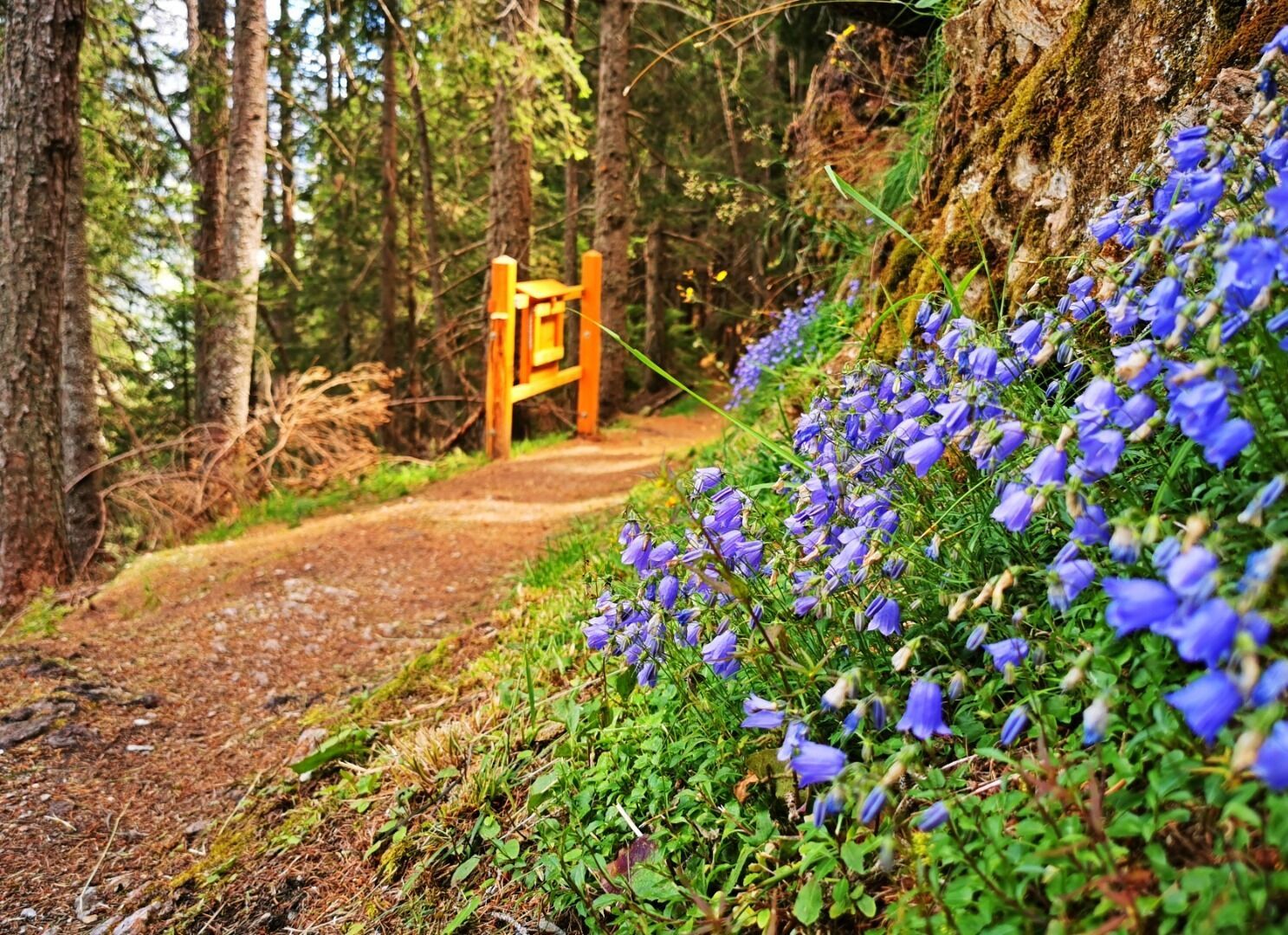
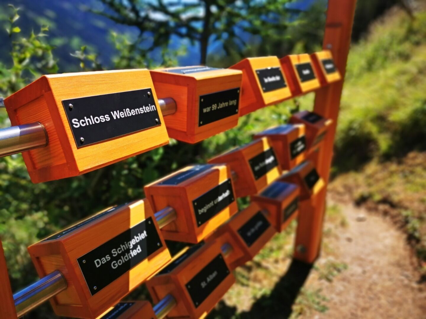
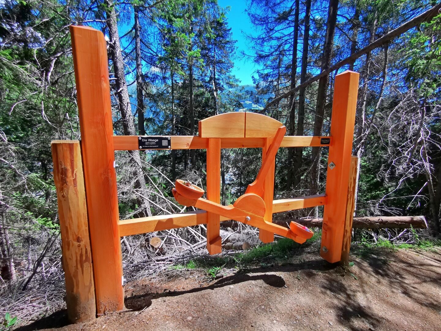
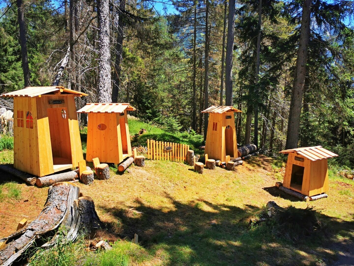
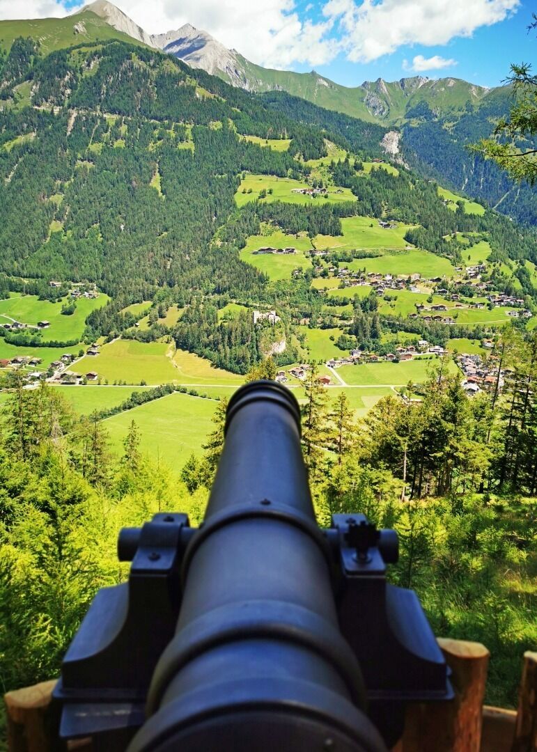
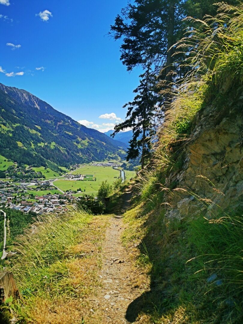
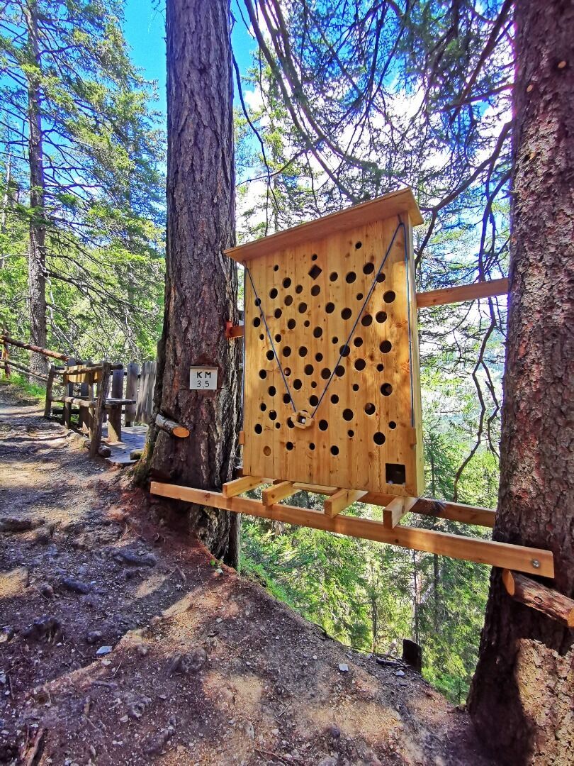
On the Thiemeweg, you walk along historic paths, as it is already over 100 years old. Several ‘pause stations’ now breathe new life into the path. These play stations (weighing game, ball game, water pipes, gnome village, harp game, alphorns, firecrackers,...) are an absolute highlight, especially for children. The trail can be reached either from the Proßegg district or from Zedlacher Straße. However, the variant via Proßegg is only recommended for experienced hikers who are sure-footed! The trail then leads along a gently ascending path to the mountain village of Zedlach and ends at the Strumerhof herb inn.

Nearby huts and mountain restaurants

More tours in the surrounding area

  • Hike to the Venedigerhaus Innergschlöß

    Difficulty:easy
    Length:8.6 kmDuration:2:30 hElevation uphill:184 m
  • Badener Hütte

    Difficulty:difficult
    Length:23.2 kmDuration:11:30 hElevation uphill:1,754 m
  • Lucknerhaus - Stüdlhütte

    Difficulty:medium
    Length:9.3 kmDuration:5:30 hElevation uphill:862 m
  • Theme path "Virgen crossroads"

    Difficulty:easy
    Length:3.2 kmDuration:1:00 hElevation uphill:104 m
  • Figerhorn

    Difficulty:difficult
    Length:6.5 kmDuration:6:00 hElevation uphill:807 m
  • Venediger altitude trail

    Difficulty:difficult
    Length:55.5 kmDuration:27:00 hElevation uphill:3,915 m
  • Lasörling altitude trail

    Difficulty:medium
    Length:57.0 kmDuration:25:00 hElevation uphill:3,740 m
  • Muhs panorama trail

    Difficulty:medium
    Length:15.2 kmDuration:6:00 hElevation uphill:1,090 m
  • Böses Weibl

    Difficulty:difficult
    Length:14.1 kmDuration:8:00 hElevation uphill:1,193 m
  • Umbal waterfalls nature force trail

    Difficulty:easy
    Length:6.0 kmDuration:2:30 hElevation uphill:257 m
  • Hiking tour to Lasörlinghütte 2.350m

    Difficulty:medium
    Length:14.6 kmDuration:7:10 hElevation uphill:1,080 m
  • Hike to Neuen Reichenberger Hütte

    Difficulty:medium
    Length:18.2 kmDuration:9:00 hElevation uphill:1,252 m
  • Hiking tour to Neue Sajathütte 2.600m

    Difficulty:medium
    Length:10.3 kmDuration:6:50 hElevation uphill:1,086 m
  • Hike to Kalser Tauernhaus

    Difficulty:medium
    Length:12.2 kmDuration:4:00 hElevation uphill:244 m
  • Rotenkogel

    Difficulty:difficult
    Length:3.9 kmDuration:3:00 hElevation uphill:383 m
  • Lasörling 3.098m

    Difficulty:difficult
    Length:21.9 kmDuration:12:00 hElevation uphill:1,940 m
  • Rollitour with Swiss Trac

    Difficulty:easy
    Length:3.2 kmDuration:1:30 hElevation uphill:135 m
  • Eagle Walk Stage O1: Ströden - Johannis Hütte

    Difficulty:medium
    Length:13.0 kmDuration:6:30 hElevation uphill:1,430 m
Newsletter

The mountain is calling? So does our newsletter!

In our monthly newsletter we reveal the best holiday tips for Tyrol.