Mountain hikes Valluga- Ulmer Hütte - St. Christoph

closed
Difficulty ratings: medium
Route length: 7.2 km
Duration: 3:30 h

Valluga- Ulmer Hütte - St. Christoph

Tour information

  • Requirement: medium
  • Length: 7.2 km
  • Duration: 3:30 h
  • Elevation uphill:0 hm
  • Elevation downhill:890 hm
Highest point2,638 m

Starting point

Vallugagrad

Finishing point

St. Christoph am Arlberg

Best time of year

  • January
  • February
  • March
  • April
  • May
  • June
  • July
  • August
  • September
  • October
  • November
  • December

Trail condition

Panoramic hike, alpin

Equipment

Good walking boots, poles and drinks/snacks, rain jacket, sun protection
Source: TVB St Anton am Arlberg

Description

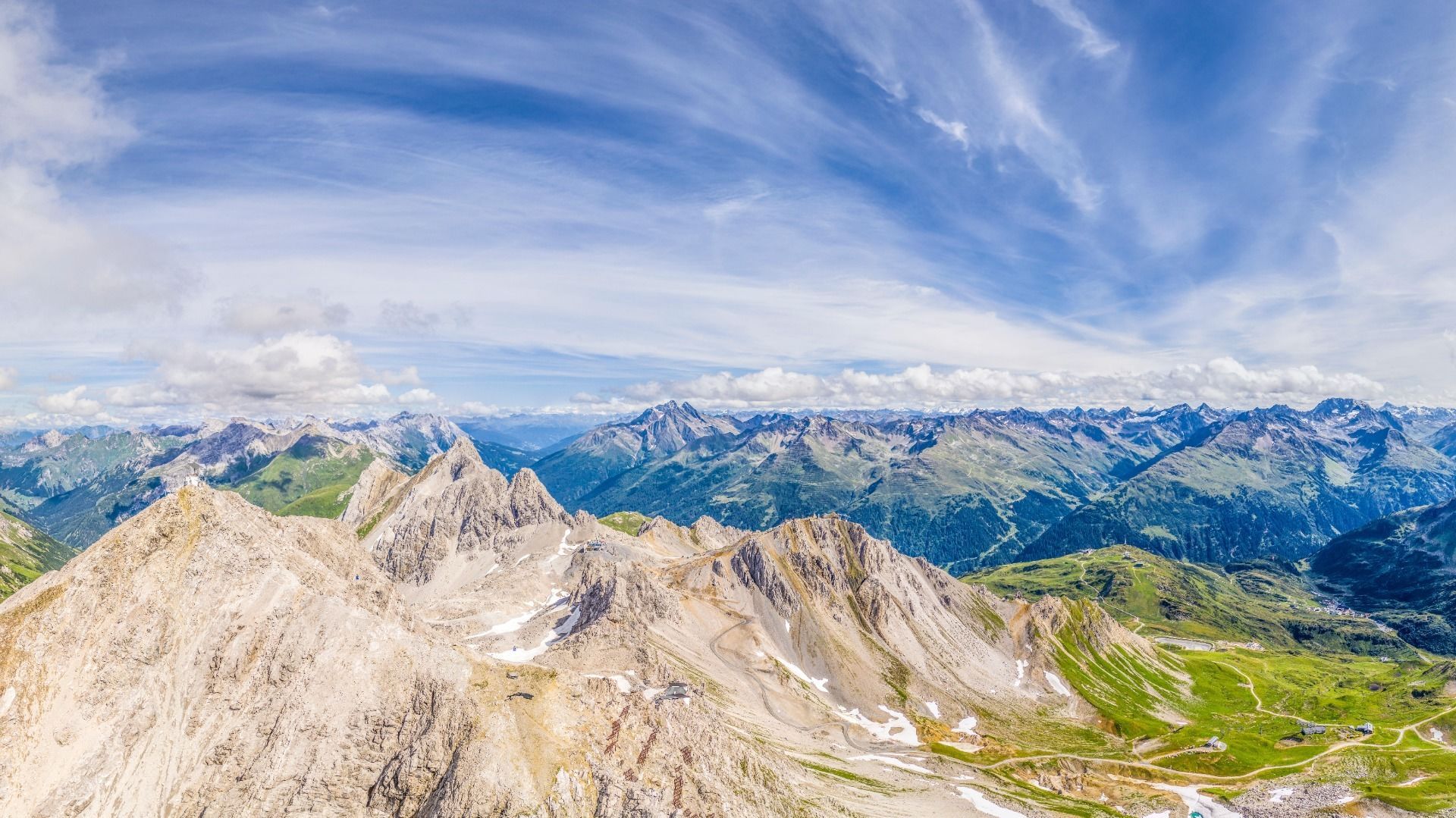
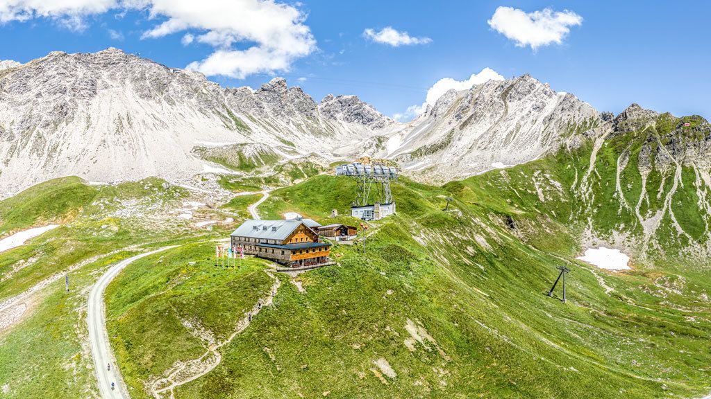
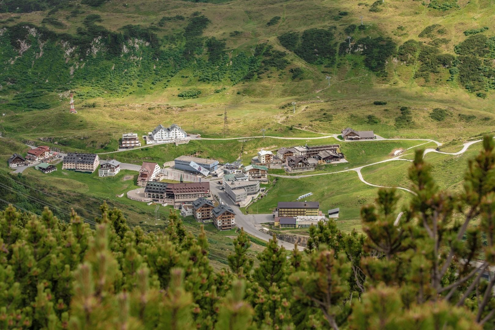
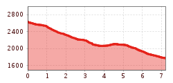
Take the cable car up to the Valluga Ridge. From the mountain station, head down the snow field in sweeping curves to the Valfagehrjoch. From there, head down to the Ulmer Hütte and continue on AV 645 to the Arlensattel. Here, turn right onto the Galzig-Panoramaweg (23) and head to the Galzig mountain station. Head west after the Galzig mountain station, following the signs down into the valley in the direction of St. Christoph. Alternatively, take the Galzigbahn lift to St. Anton.

Nearby huts and mountain restaurants

More tours in the surrounding area

Newsletter

The mountain is calling? So does our newsletter!

In our monthly newsletter we reveal the best holiday tips for Tyrol.