Mountain hikes Vier-Seen-Runde

Difficulty ratings: medium
Route length: 14.6 km
Duration: 4:00 h

The impressive panoramic hike on the traces of the element water

Tour information

  • Requirement: medium
  • Length: 14.6 km
  • Duration: 4:00 h
  • Elevation uphill:556 hm
  • Elevation downhill:550 hm
Highest point1,919 m

Starting point

Talstation Hahnenkammbahn

Finishing point

Talstation Hahnenkammbahn

Features

  • Circular route

Trail condition

Asphalt, gravel, Alpine paths, meadow paths

Equipment

ankle-high, sturdy shoes, functional clothing suitable for mountaineering, rain protection, sun protection, plenty of drinks, comfortable rucksack, hiking poles, snack

Description

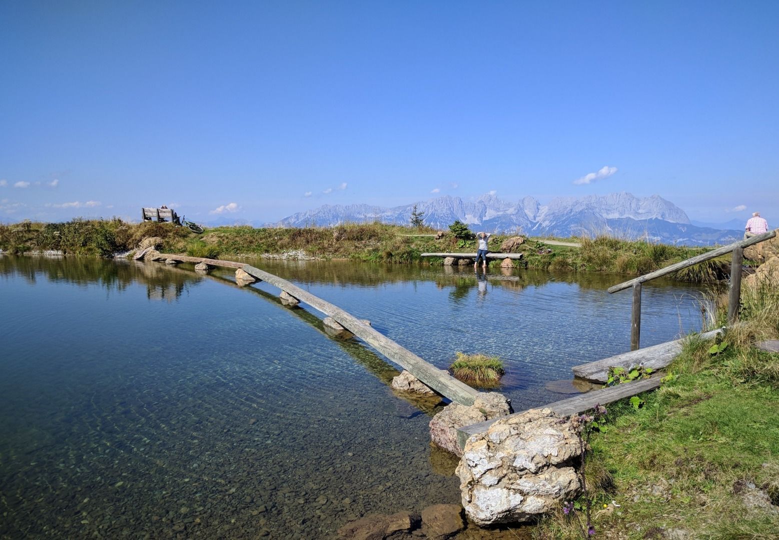
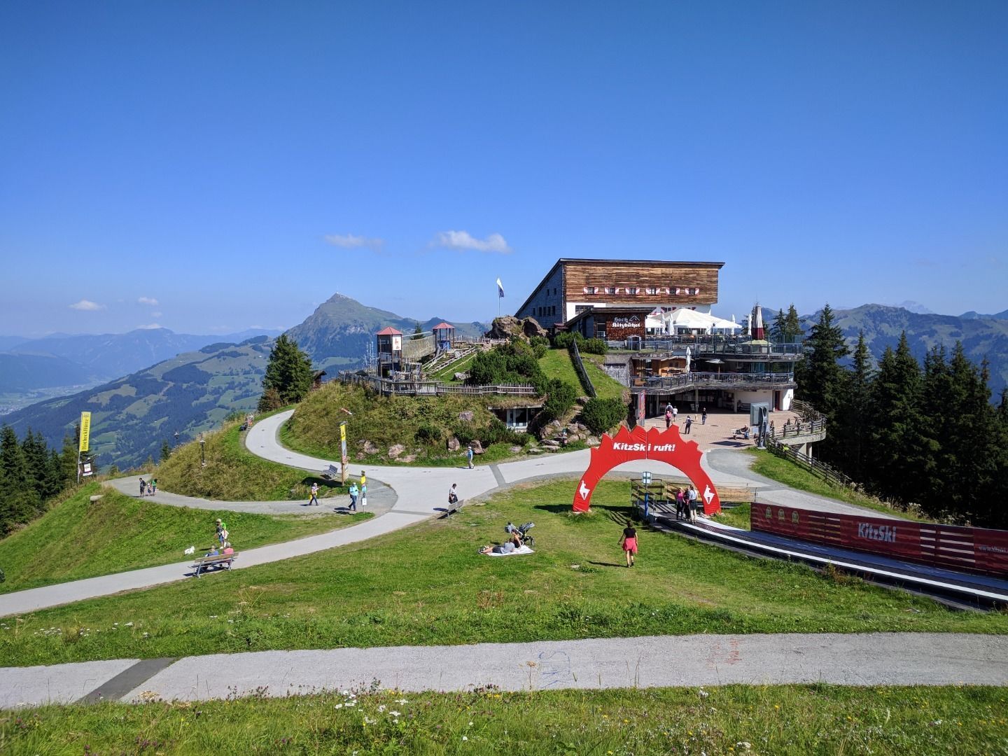
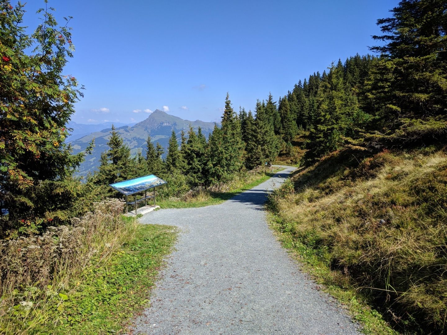
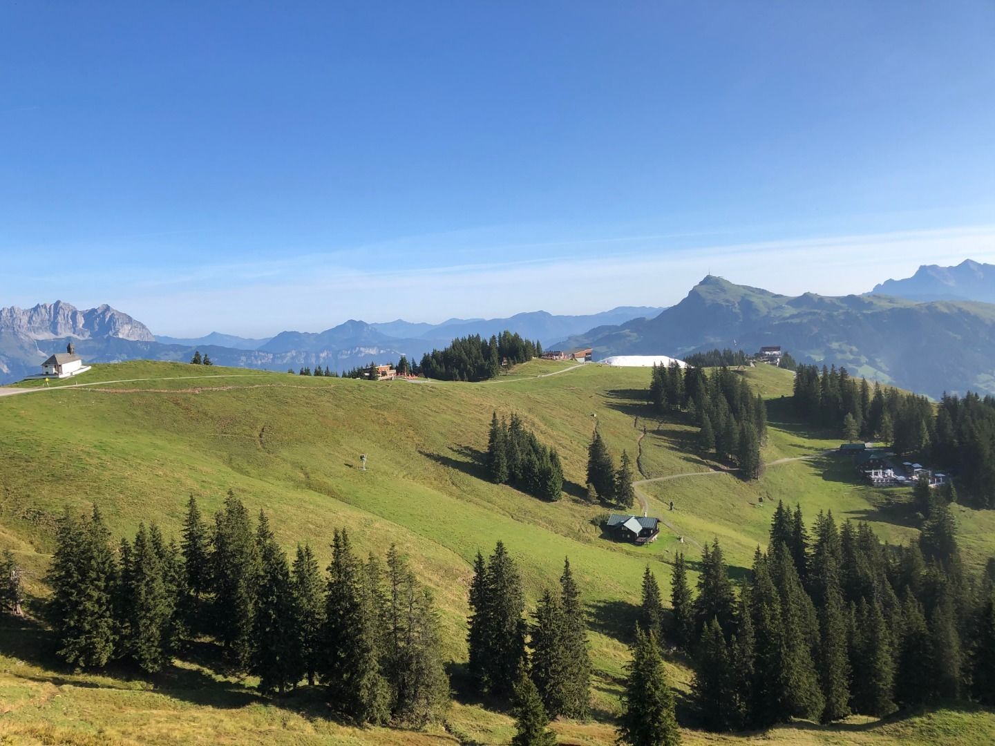
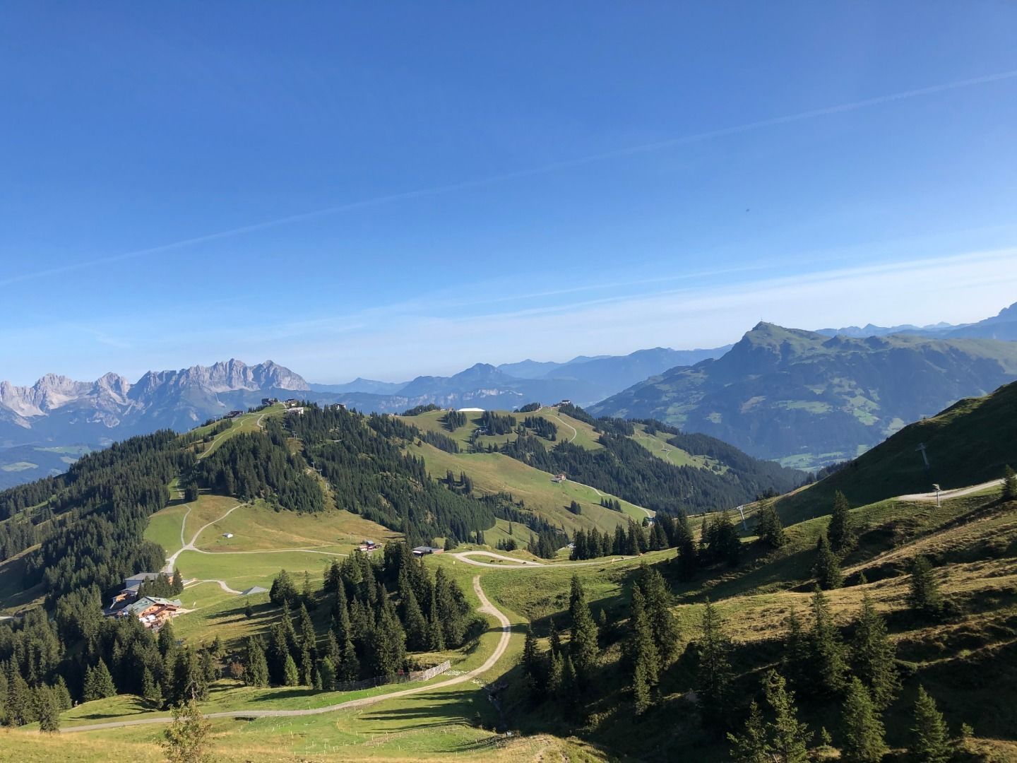
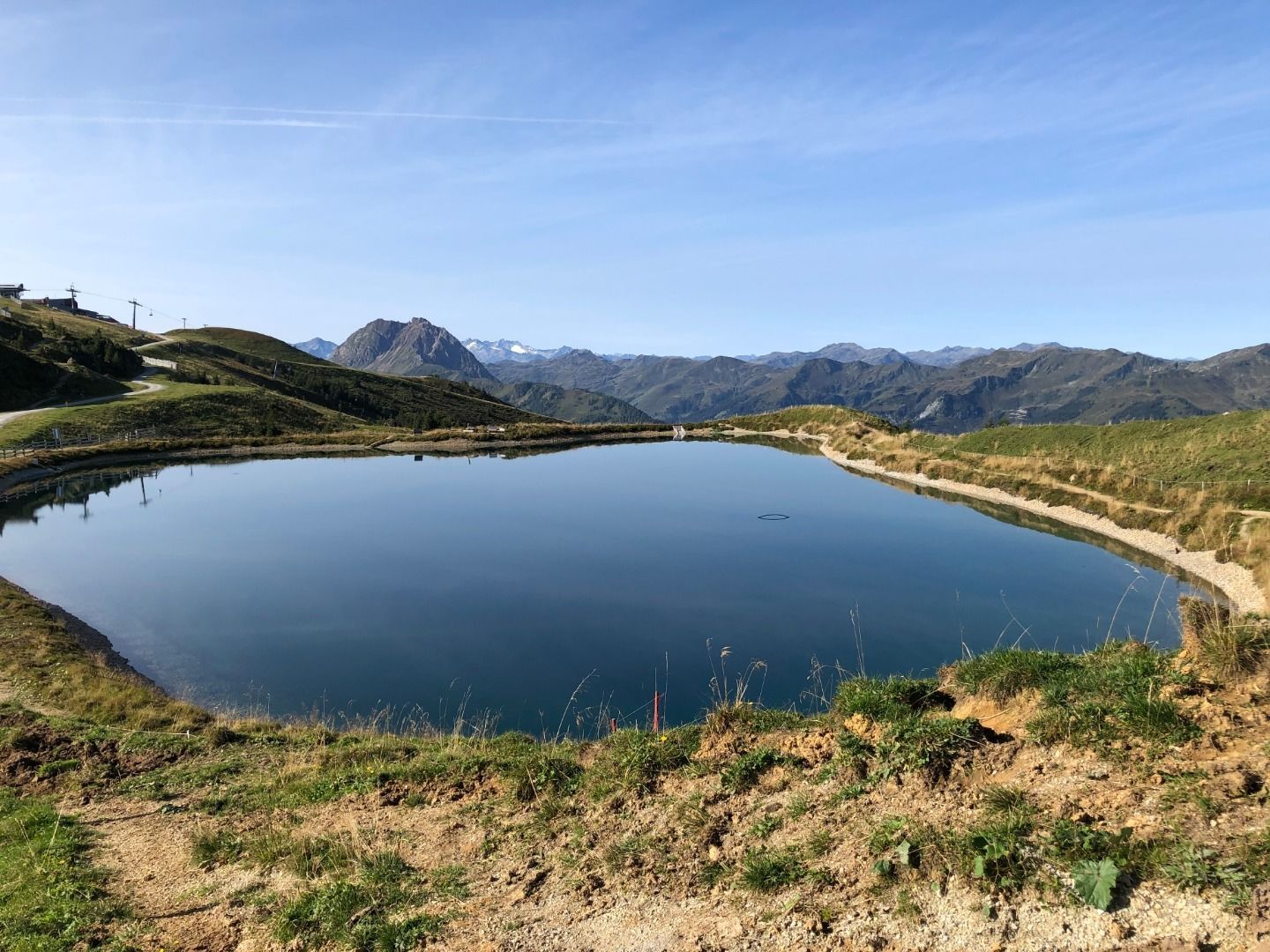
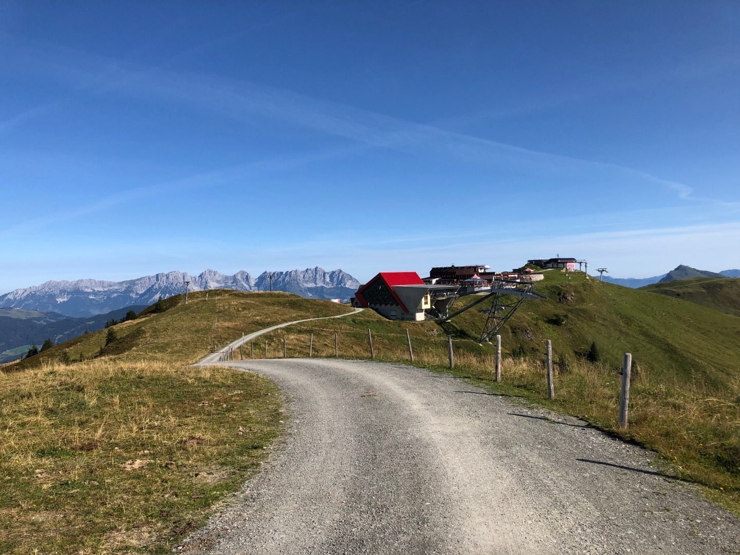
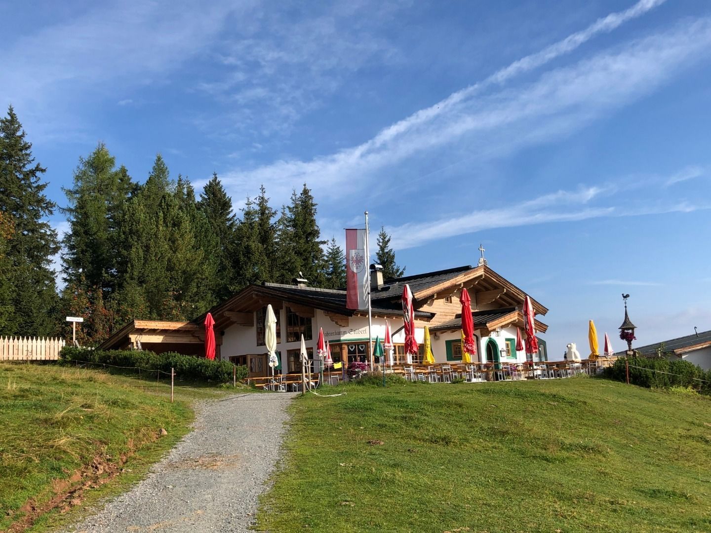
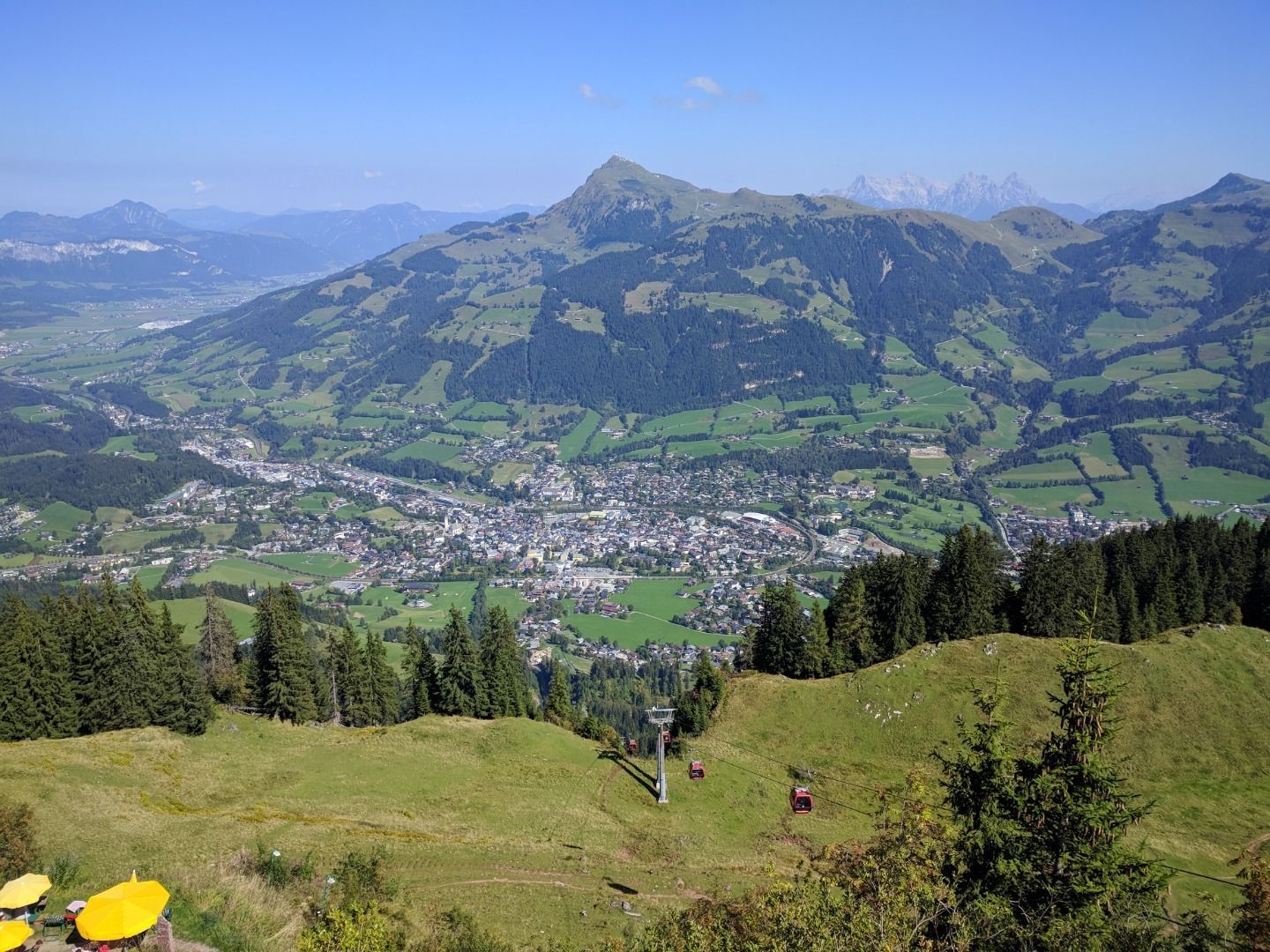
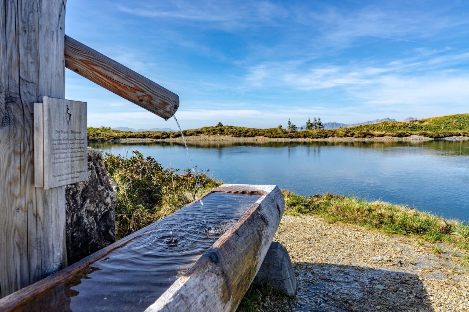
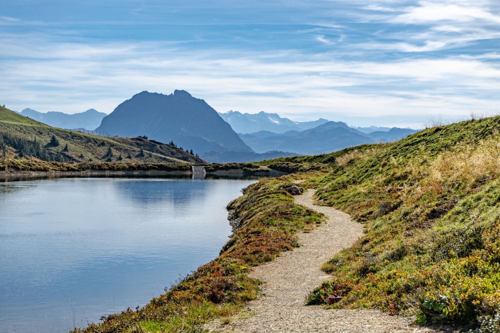
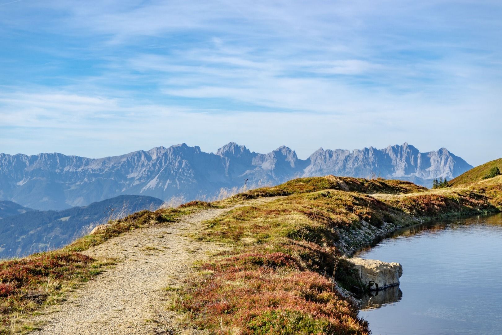
From the Hahnenkammbahn mountain station the route leads via the St. Bernhards Chapel to the Ehrenbachhöhe reservoir.  Continuing along the panoramic hiking trail towards Pengelstein, you pass the Jufenalm and enjoy magnificent panoramic views from the Hohe Tauern to the Loferer Steinbergen.  Then follow the Brunnsee, Pengelsteinsee and Usterkarsee whose shores invite you to linger.

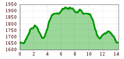
Digital Hiking Pin: 4-Seen-Wanderung

Nearby huts and mountain restaurants

More tours in the surrounding area

Newsletter

The mountain is calling? So does our newsletter!

In our monthly newsletter we reveal the best holiday tips for Tyrol.