Mountain hikes Village Circuit Kirchdorf

Kirchdorf in Tirol / Kaiser Mountains
Difficulty ratings: easy
Route length: 4.0 km
Duration: 1:00 h

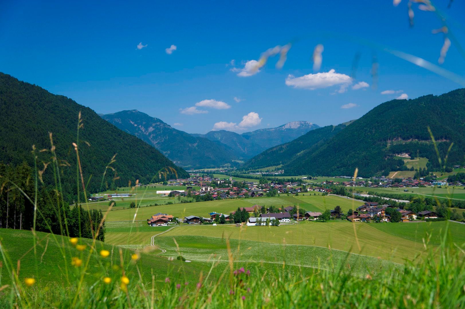
Discover beautiful Kirchdorf on a leisurely hike.
Tour information

  • Requirement: easy
  • Length: 4.0 km
  • Duration: 1:00 h
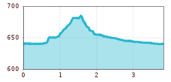
  • Elevation uphill:55 hm
  • Elevation downhill:53 hm

Starting point

Kirchdorf - Parish church

Finishing point

Kirchdorf - Parish church
  • Fitness level 1 / 6
  • Technique 1 / 6

Features

  • Circular route
  • Suitable for families

Best time of year

  • January
  • February
  • March
  • April
  • May
  • June
  • July
  • August
  • September
  • October
  • November
  • December

Trail condition

Asphalt, gravel

Equipment

Steady trekking shoes Functional shirt Snacks and full drink bottles Fully charged mobile phone and charger First aid kit Sun protection Cash
Source: Kitzbüheler Alpen Management GmbH

Description

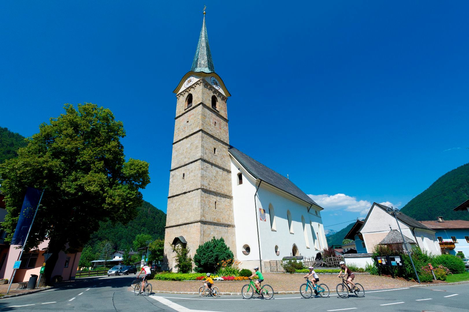
We start at the church of St. Stephen in the centre of Kirchdorf. In times long past, numerous believers made a pilgrimage to the parish church at the foot of the Wilder Kaiser for high mass on Sundays.

The hike first leads you in the direction of the cemetery, following Leerbergstraße you reach the cemetery. Behind the cemetery chapel, the hiking trail leads up into the forest. A forest path leads you along the foot of the Leerberg - great views arise along the way. At the end of the tour, you will pass an old wayside cross. From here, you first hike along the Sonnseitweg. Cross the Gasteiger Straße at the Unteranger district and walk along the Luigambach stream and the Großache river back to Kirchdorf to the starting point of the short hike.


Nearby huts and mountain restaurants

Getting here

  • Arrival by public transport

    Postbus 4012 exit Kirchdorf i. T. Bundesstraße
    Postbus 4000 exit Kirchdorf i. T. Ort

    Or conveniently with the free OKTO hiking bus in the summer season from Monday to Friday,
    Journey times here:kitzalps.cc/mobile

  • Parking

    Coming from Kitzbühel/Oberndorf and St. Johann in the Tirol, follow the B178 to Kirchdorf and turn left onto Dorfstraße.
    Coming from Waidring/Erpfendorf, drive in to the direction of Kitzbühel, follow the B178 to Kirchdorf and turn right into the center.

    This will take you to the St. Johann in Tirol region: 
    www.kitzbueheler-alpen.com/en/stjo/getting-here/holidays.html

     
    Free parking in Kirchdorf i. T. centre (information office, education centre)

Weather

Today

partly Cloudy
12°C/0°C
80%7.7l5 km/h

Sat

light rain showers
8°C/1°C
75%2l5 km/h

Sun

light rain
11°C/0°C
80%6.7l5 km/h
Go to weather forecast

More tours in the surrounding area

  • Koasa Trail Stage 4

    Difficulty:medium
    Length:20.6 kmDuration:7:35 hElevation uphill:923 m
  • Koasa Trail Stage 3

    Difficulty:medium
    Length:19.9 kmDuration:7:10 hElevation uphill:730 m
  • Koasa Trail Stage 5

    Difficulty:medium
    Length:14.0 kmDuration:6:45 hElevation uphill:935 m
  • Koasa Trail Stage 1

    Difficulty:medium
    Length:16.9 kmDuration:6:45 hElevation uphill:937 m
  • Kaiserkrone - stage 5

    Difficulty:medium
    Length:10.8 kmDuration:5:15 hElevation uphill:840 m
  • Kaiserkrone - stage 4

    Difficulty:medium
    Length:16.1 kmDuration:6:30 hElevation uphill:640 m
  • Koasa Trail Stage 2

    Difficulty:medium
    Length:11.8 kmDuration:7:15 hElevation uphill:1,078 m
  • Alpine Outdoor Gallery

    Difficulty:easy
    Length:6.7 kmDuration:2:00 hElevation uphill:117 m
  • Eifersbacher Wasserfall

    Difficulty:medium
    Length:5.9 kmDuration:2:30 hElevation uphill:241 m
  • The Wiegalm

    Difficulty:medium
    Length:10.5 kmDuration:4:45 hElevation uphill:680 m
  • Angerer Alm

    Difficulty:medium
    Length:5.7 kmDuration:2:45 hElevation uphill:652 m
  • Möslalmkogel via Wörgl

    Difficulty:medium
    Length:10.3 kmDuration:3:30 hElevation uphill:580 m
  • 1st stage KAT Walk Kompakt

    Difficulty:medium
    Length:14.2 kmDuration:7:15 hElevation uphill:1,212 m
  • KAT Walk Alpine stage 6

    Difficulty:medium
    Length:19.0 kmDuration:7:30 hElevation uphill:1,000 m
  • KAT WALK COMPACT

    Difficulty:medium
    Length:83.0 kmDuration:5 daysElevation uphill:5,462 m
Newsletter

The mountain is calling? So does our newsletter!

In our monthly newsletter we reveal the best holiday tips for Tyrol.