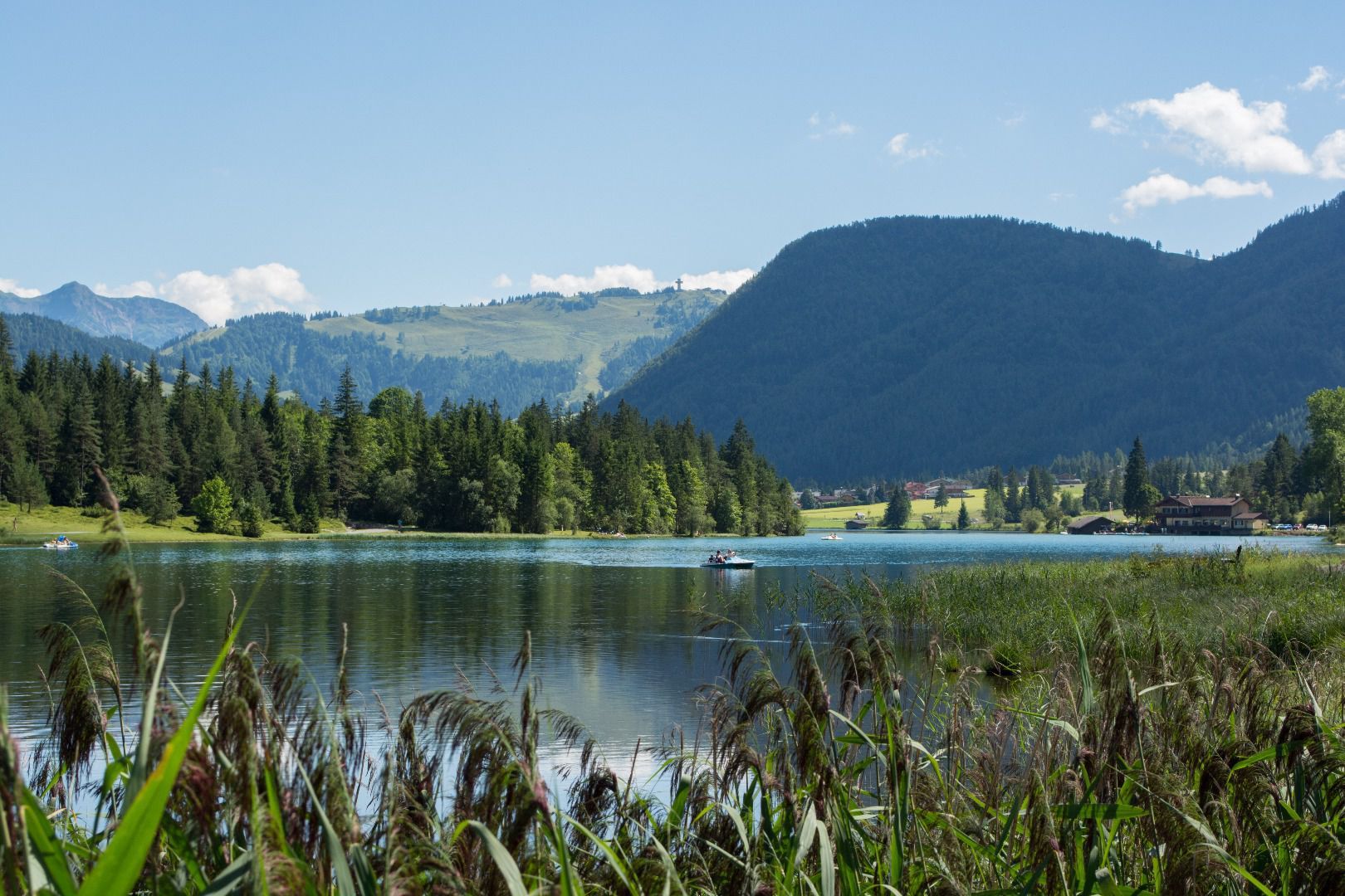
Mountain hikes Von St. Ulrich a.P. über den Kalkstein nach St. Johann i.T.

St. Ulrich am Pillersee / Lofer Stone Mountains
Difficulty ratings: medium
Route length: 16.2 km
Duration: 6:40 h

Tour information

  • Requirement: medium
  • Length: 16.2 km
  • Duration: 6:40 h
  • Elevation uphill:810 hm
  • Elevation downhill:1,050 hm
Highest point1,550 m

Starting point

St. Ulrich am Pillersee

Finishing point

St. Johann in Tirol

Equipment

genügend Proviant mitnehmen, nur eine Einkehrmöglichkeit
Source: Kitzbüheler Alpen Management GmbH

Description

From the parish church of St. Ulrich am Pillersee in the direction of the MACK mountain pine oil distillery. Continue via the Kalktal valley and the Steinerne Stiege (surefootedness required, take care in wet conditions) up towards Kalkstein. From the Gerstbergalm, hike in the opposite direction along the KAT Walk. Via Adlerspoint, Bruggwirtsalm and the St. Johann hamlets of Scheffau, Oberhofen and Almdorf to the village centre of St. Johann in Tirol. 
Return with the free hiking bus to St. Ulrich am Pillersee.

Translated with DeepL.com (free version)

Getting here

  • Parking

    Kostenloser Wanderbus innerhalb und zwischen den Regionen Bushaltestellen: St. Ulrich a.P. Gemeindeamt - St. Johann i.T. Bahnhof oder Meraner Straße Öffentlicher Parkplatz: St. Ulrich a.P. Gemeinde / Pillersee; St. Johann i.T. Bahnhof Öffentliche Toilette: St. Ulrich a.P. Tourismusbüro / Hallenbad; St. Johann i.T. Nähe Kaisersaal hinter Pfarrkirche

Weather

Today

partly Cloudy
12°C/1°C
85%8.5l10 km/h

Sat

light rain showers
7°C/0°C
75%2.1l5 km/h

Sun

light rain
11°C/1°C
80%6.4l10 km/h
Go to weather forecast

More tours in the surrounding area

  • Koasa Trail Stage 4

    Difficulty:medium
    Length:20.6 kmDuration:7:35 hElevation uphill:923 m
  • Koasa Trail Stage 3

    Difficulty:medium
    Length:19.9 kmDuration:7:10 hElevation uphill:730 m
  • Koasa Trail Stage 5

    Difficulty:medium
    Length:14.0 kmDuration:6:45 hElevation uphill:935 m
  • Koasa Trail Stage 1

    Difficulty:medium
    Length:16.9 kmDuration:6:45 hElevation uphill:937 m
  • Kaiserkrone - stage 5

    Difficulty:medium
    Length:10.8 kmDuration:5:15 hElevation uphill:840 m
  • Kaiserkrone - stage 4

    Difficulty:medium
    Length:16.1 kmDuration:6:30 hElevation uphill:640 m
  • Koasa Trail Stage 2

    Difficulty:medium
    Length:11.8 kmDuration:7:15 hElevation uphill:1,078 m
  • Alpine Outdoor Gallery

    Difficulty:easy
    Length:6.7 kmDuration:2:00 hElevation uphill:117 m
  • Eifersbacher Wasserfall

    Difficulty:medium
    Length:5.9 kmDuration:2:30 hElevation uphill:241 m
  • The Wiegalm

    Difficulty:medium
    Length:10.5 kmDuration:4:45 hElevation uphill:680 m
  • Angerer Alm

    Difficulty:medium
    Length:5.7 kmDuration:2:45 hElevation uphill:652 m
  • Möslalmkogel via Wörgl

    Difficulty:medium
    Length:10.3 kmDuration:3:30 hElevation uphill:580 m
  • KAT WALK FAMILY

    Difficulty:medium
    Length:52.5 kmDuration:4 daysElevation uphill:3,390 m
  • 1st stage KAT Walk Kompakt

    Difficulty:medium
    Length:14.2 kmDuration:7:15 hElevation uphill:1,212 m
  • KAT Walk Alpine stage 6

    Difficulty:medium
    Length:19.0 kmDuration:7:30 hElevation uphill:1,000 m
Newsletter

The mountain is calling? So does our newsletter!

In our monthly newsletter we reveal the best holiday tips for Tyrol.
