
Opening hours:Open today
Place:Wiesing
:Restaurant
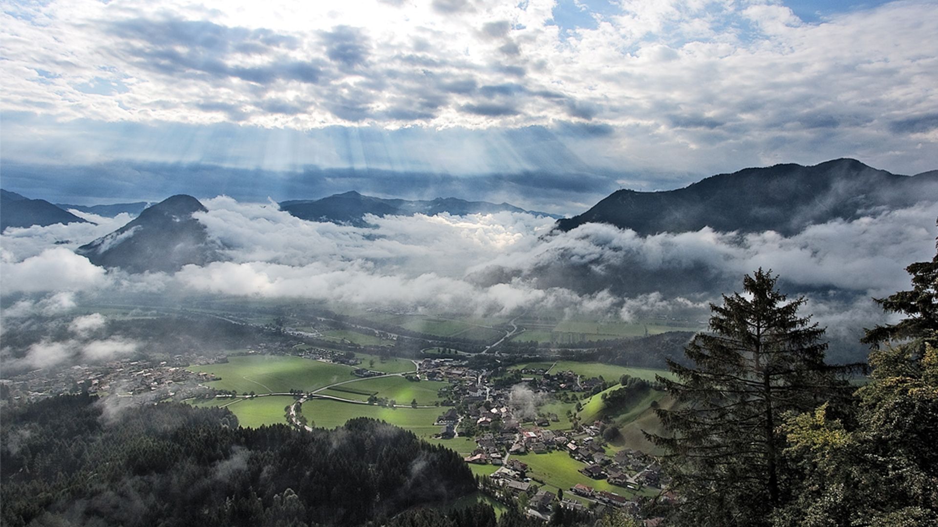
Hike from Wiesing to the Kanzelkehre viewpoint with magnificent views over the Inntal valley – 7.2km, 320 metres of elevation gain, about 2.5 hours. Refreshments available. Return via the same route or by bus.
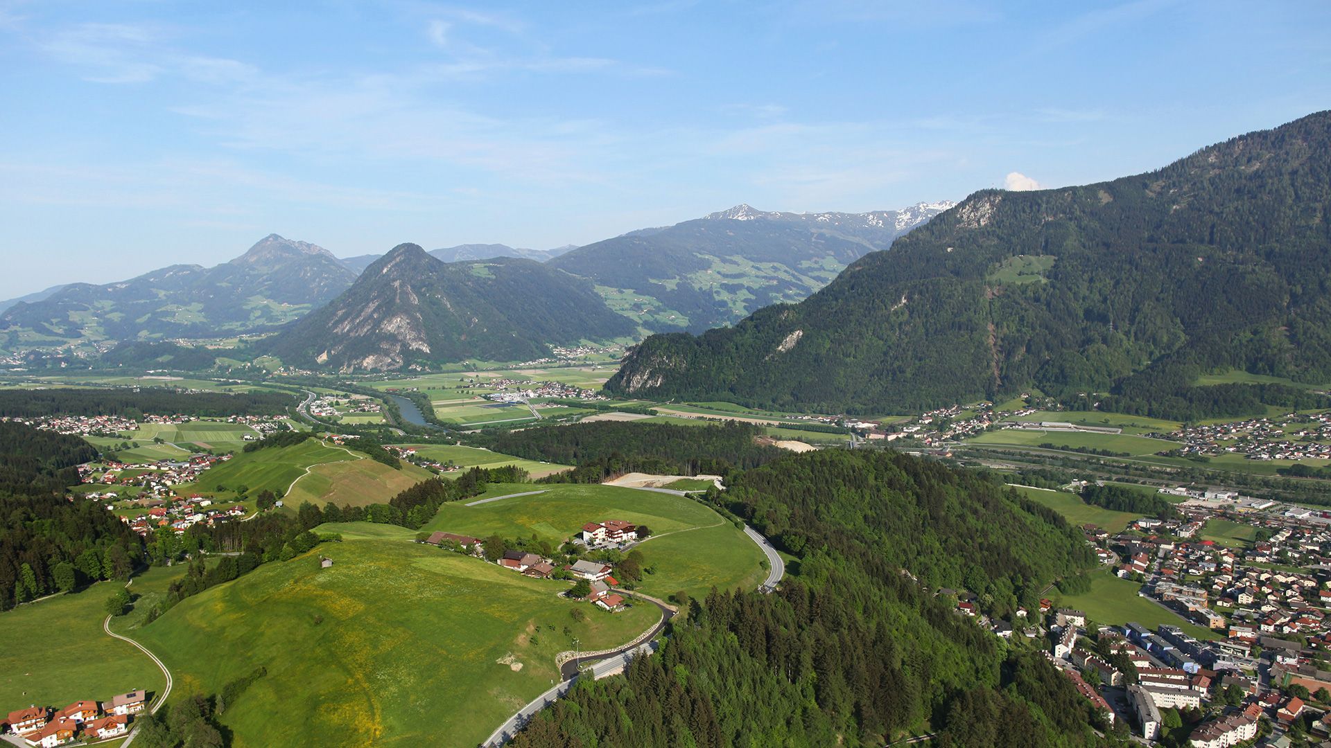
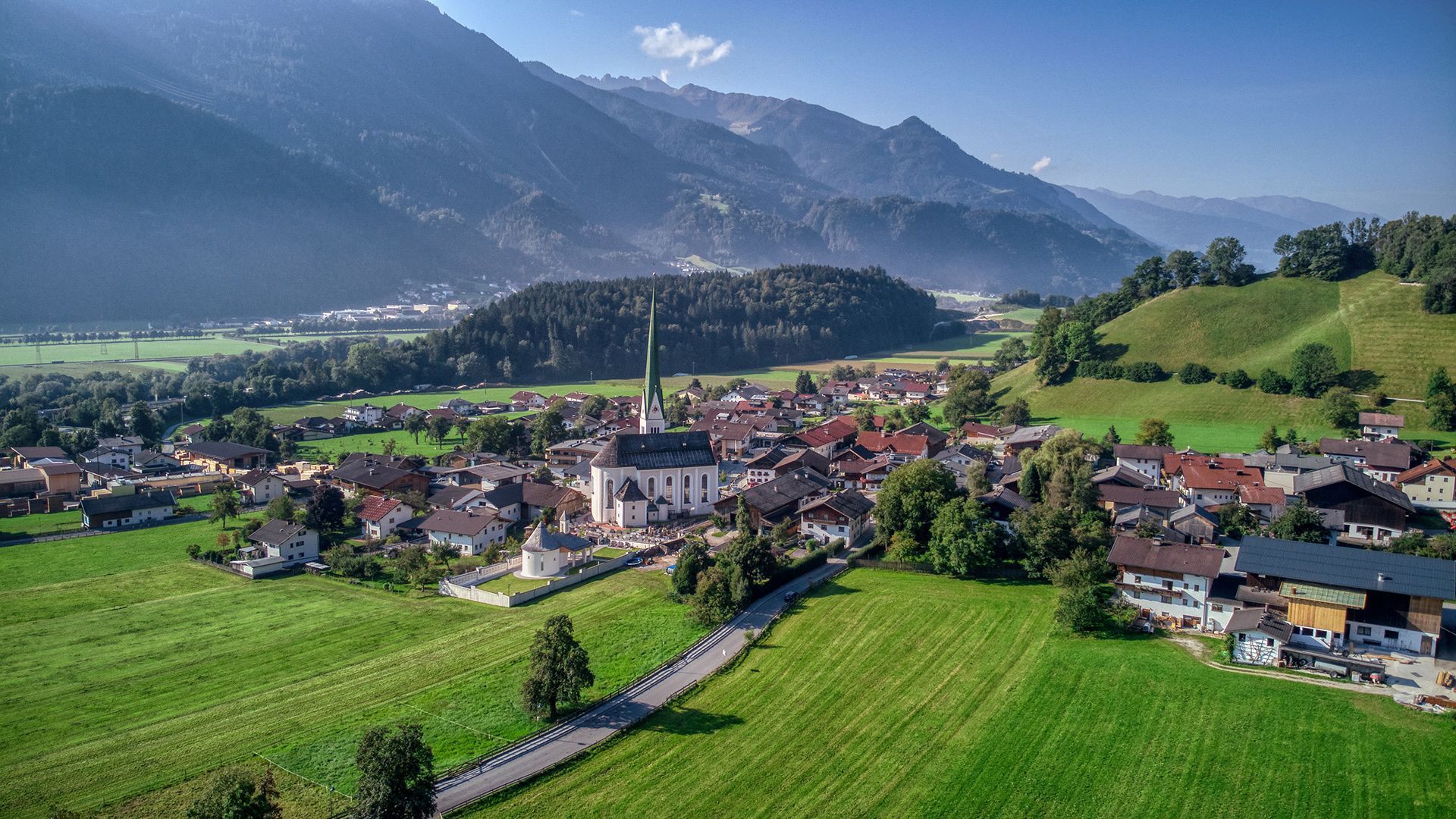
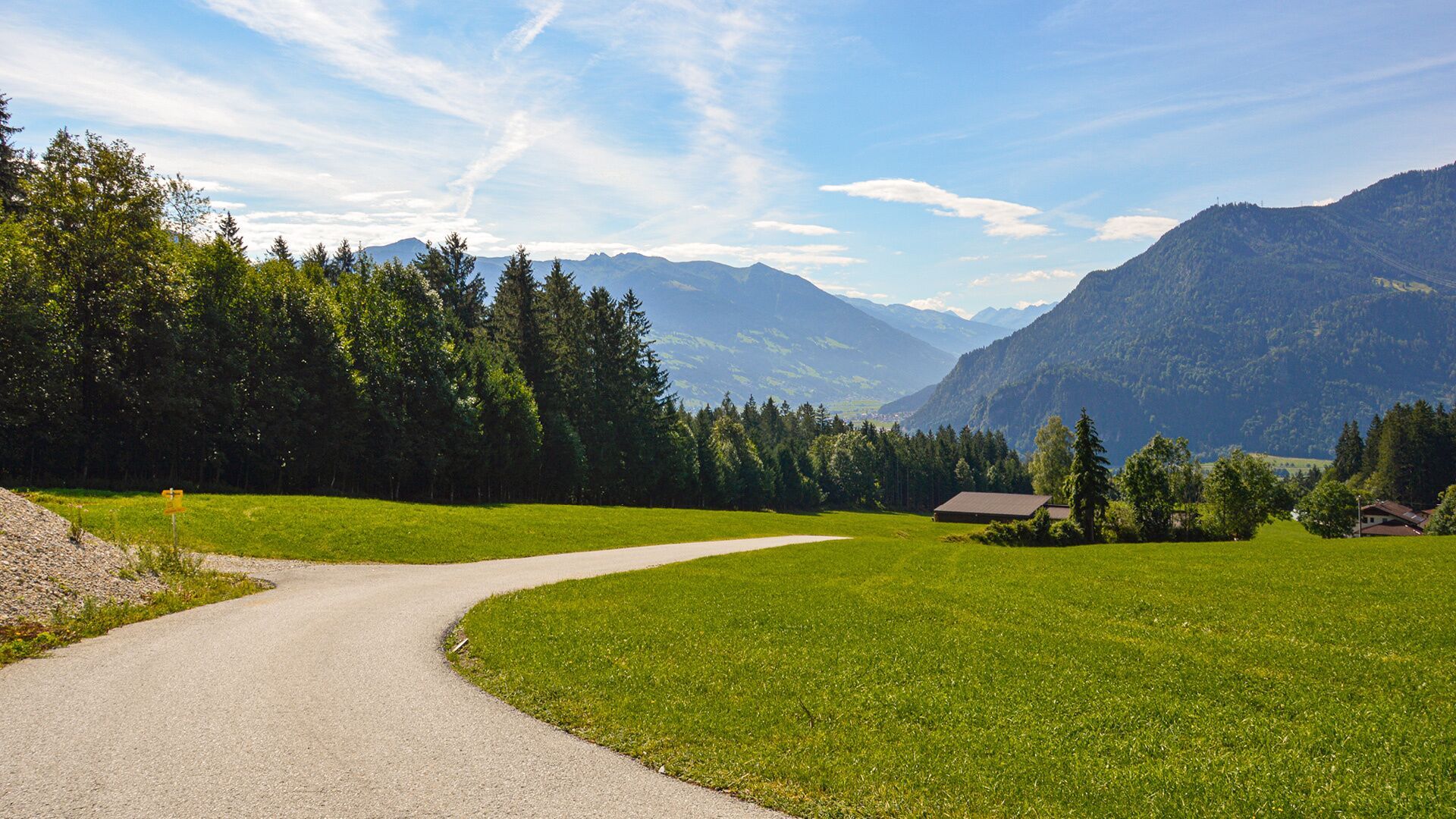


The tour starts from the parish church Wiesing. Follow the village road above the parish church to the Rofansiedlung residential area. Once you reach the uppermost houses, turn left, and follow the forest path to Erlach (see signposts “Waldweg nach Erlach”). From here, walk in the direction of Astenberg and to the Panorama-Restaurant Kanzelkehre. The return is via the same route, or by bus.
Take the regional bus (lines 4080 or 8332) to the village centre of Wiesing and get off at the "Wiesing Dorf" stop.
Underground car park in the centre of Wiesing (paid parking)


.jpg")


.jpg")


")


