Mountain hikes Wiesing - Sonnwendjoch (2.224 m) - Wiesing

Münster / Brandenberger Alpen (Rofan)
Difficulty ratings: difficult
Route length: 22.9 km
Duration: 9:15 h

Wiesing - Sonnwendjoch (2.224 m) - Wiesing

Tour information

  • Requirement: difficult
  • Length: 22.9 km
  • Duration: 9:15 h
  • Elevation uphill:1,650 hm
  • Elevation downhill:1,650 hm
Highest point2,224 m

Starting point

Wiesing, parish church

Finishing point

Wiesing, parish church

Best time of year

  • January
  • February
  • March
  • April
  • May
  • June
  • July
  • August
  • September
  • October
  • November
  • December

Trail condition

forest road, forest path, hiking trail

Equipment

Sturdy boots (ankle-high hiking boots), weather appropriate clothing. Telescopic hiking poles are recommended. Enough to drink and eat (no rest stops anlong the way).
Source: Achensee Tourismus

Description

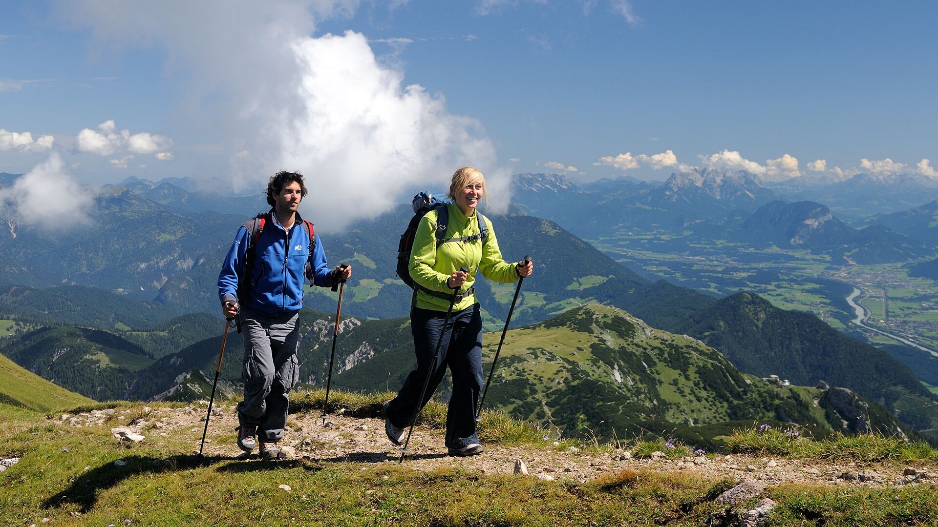
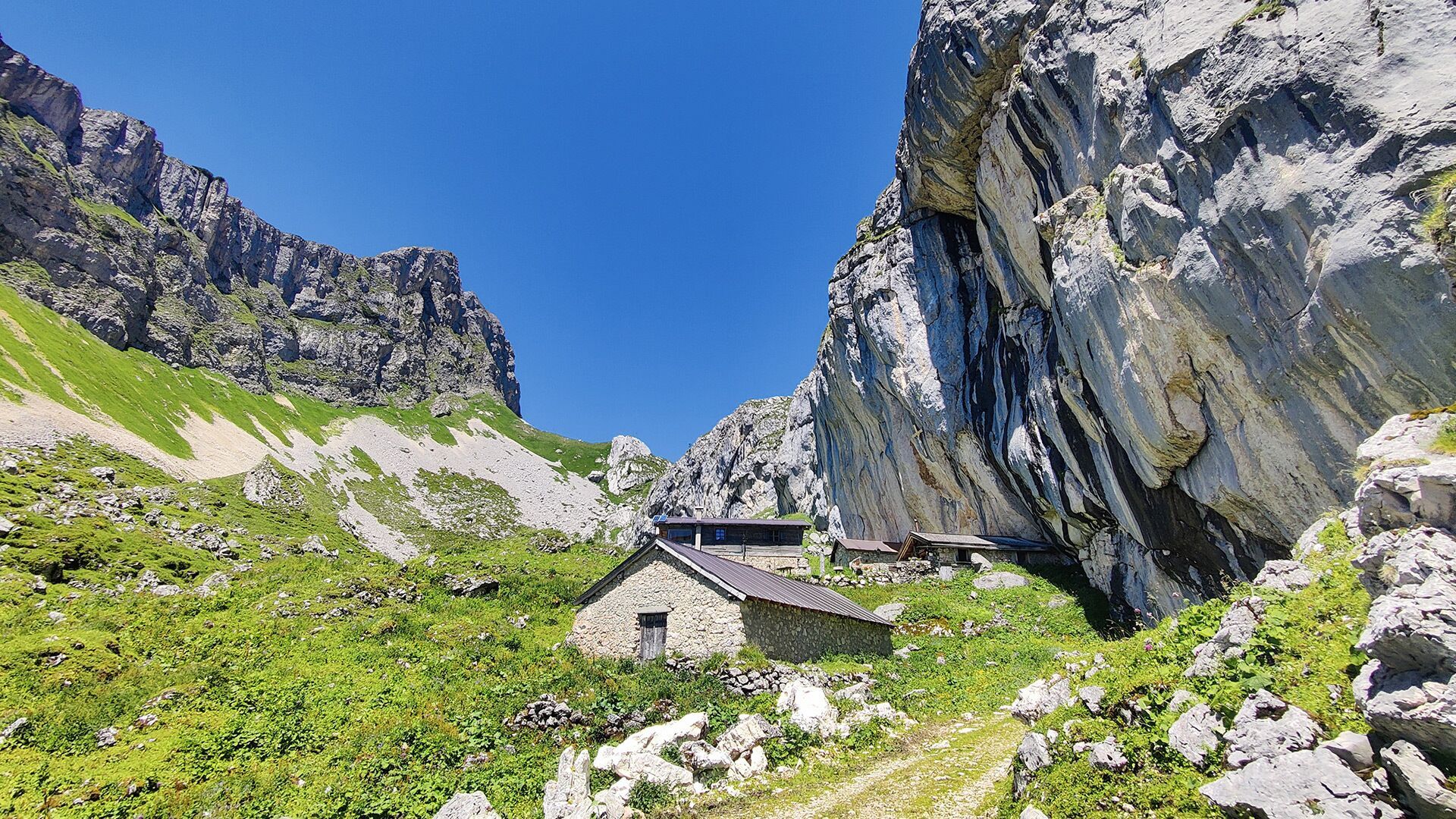
The tour starts from the parish church Wiesing. Follow the village road above the parish church through the Rofansiedlung residential area in the direction of Astenberg. The asphalt road ends after ca. 200 meters. At the fountain, turn left and walk up the forest road. The route leads past the Schicht, the Burgaukopf and Alpbühelalm (not serviced). A little before the Schermsteinalm (not serviced), a steep trail branches off from the forest path. After crossing the southern slope, you reach the summit of the Sonnwendjoch (2,224 metres). The return is via the same route. 

Nearby huts and mountain restaurants

Getting here

  • Arrival by public transport

    Exit bus-stop: Wiesing Dorf

  • Parking

    Underground car park in the centre of Wiesing

More tours in the surrounding area

  • Kundler Klamm

    Opening hours: closed
    Difficulty: easy
    Length: 6.4 km Duration: 2:00 h Elevation uphill: 116 m
  • Day 3: 4 days - 4 summits tour

    Difficulty: medium
    Length: 19.3 km Duration: 8:00 h Elevation uphill: 1,371 m
  • 4 days - 4 summits tour

    Difficulty: medium
    Length: 54.4 km Duration: 23:00 h Elevation uphill: 3,408 m
  • Kaiser Gorge - loop trail

    Opening hours: closed
    Difficulty: easy
    Length: 4.2 km Duration: 1:00 h Elevation uphill: 198 m
  • Farmkehralm 1.521 m

    Difficulty: medium
    Length: 9.3 km Duration: 3:30 h Elevation uphill: 506 m
  • Wiedersberger Horn Panorama Path

    Difficulty: easy
    Length: 4.1 km Duration: 1:30 h Elevation uphill: 195 m
  • Barrier-free path Lake Reintal

    Difficulty: easy
    Length: 6.5 km Duration: 1:45 h Elevation uphill: 15 m
  • 3-peak-tour Kienberg-Plessenberg-Heuberg

    Difficulty: medium
    Length: 8.6 km Duration: 4:30 h Elevation uphill: 779 m
  • Discovering the Tiefenbach Gorge Hike

    Opening hours: closed
    Difficulty: medium
    Length: 5.7 km Duration: 3:30 h Elevation uphill: 669 m
  • Voldöpper Spitze Loop Hike

    Difficulty: medium
    Length: 12.9 km Duration: 5:00 h Elevation uphill: 988 m
  • Loop tour Juppi Zauberwald

    Difficulty: easy
    Length: 2.5 km Duration: 1:00 h Elevation uphill: 93 m
  • Day 1: 4 days - 4 summits tour

    Difficulty: medium
    Length: 9.8 km Duration: 5:00 h Elevation uphill: 984 m
  • 3-day Family Tour Alpbachtal

    Difficulty: easy
    Length: 18.3 km Duration: 7:00 h Elevation uphill: 998 m
Newsletter

The mountain is calling? So does our newsletter!

In our monthly newsletter we reveal the best holiday tips for Tyrol.