Opening hours:Open today
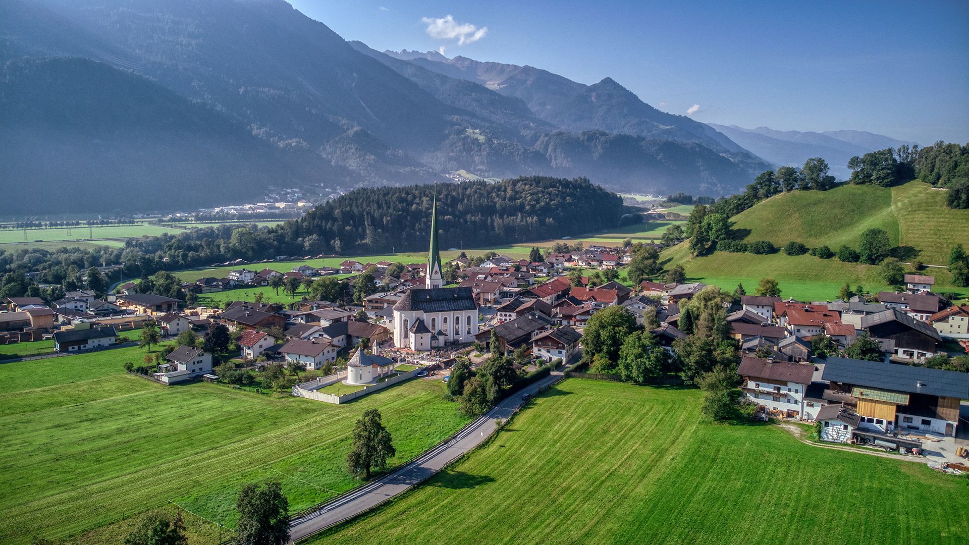
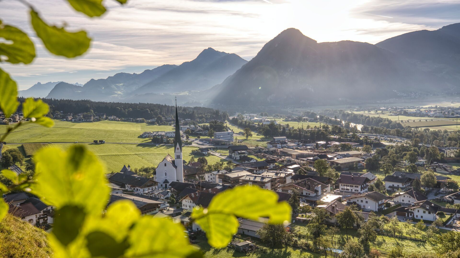
Place:Wiesing
:café:Breakfast
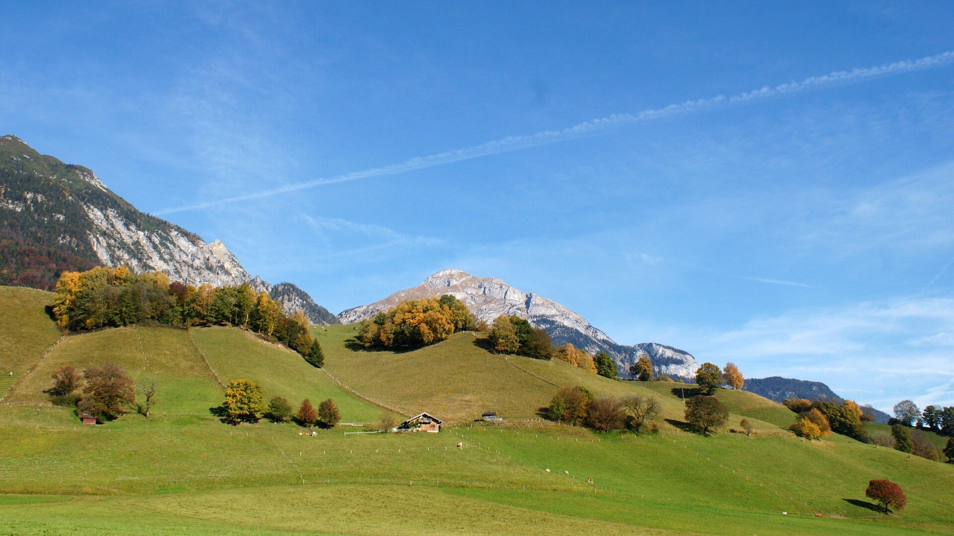
Gentle hill in Wiesing with a beautiful view over the village and far-reaching views of the Inn Valley. The Wiesinger Bühel is particularly rewarding in the morning and evening hours.
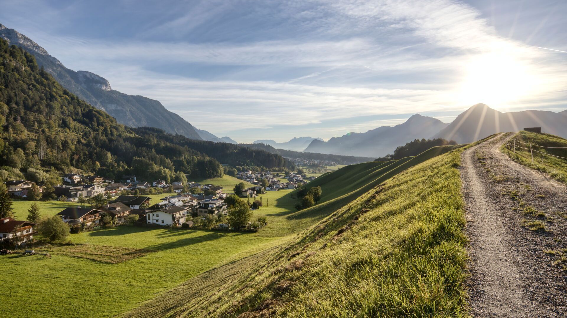
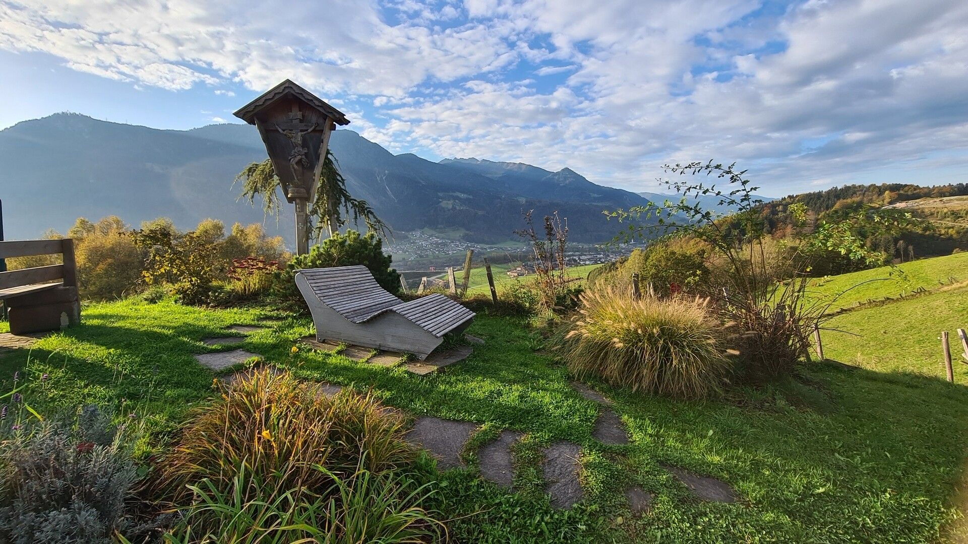
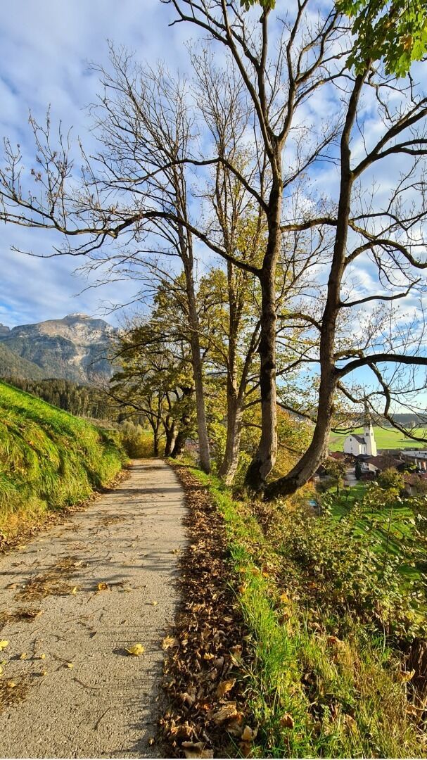
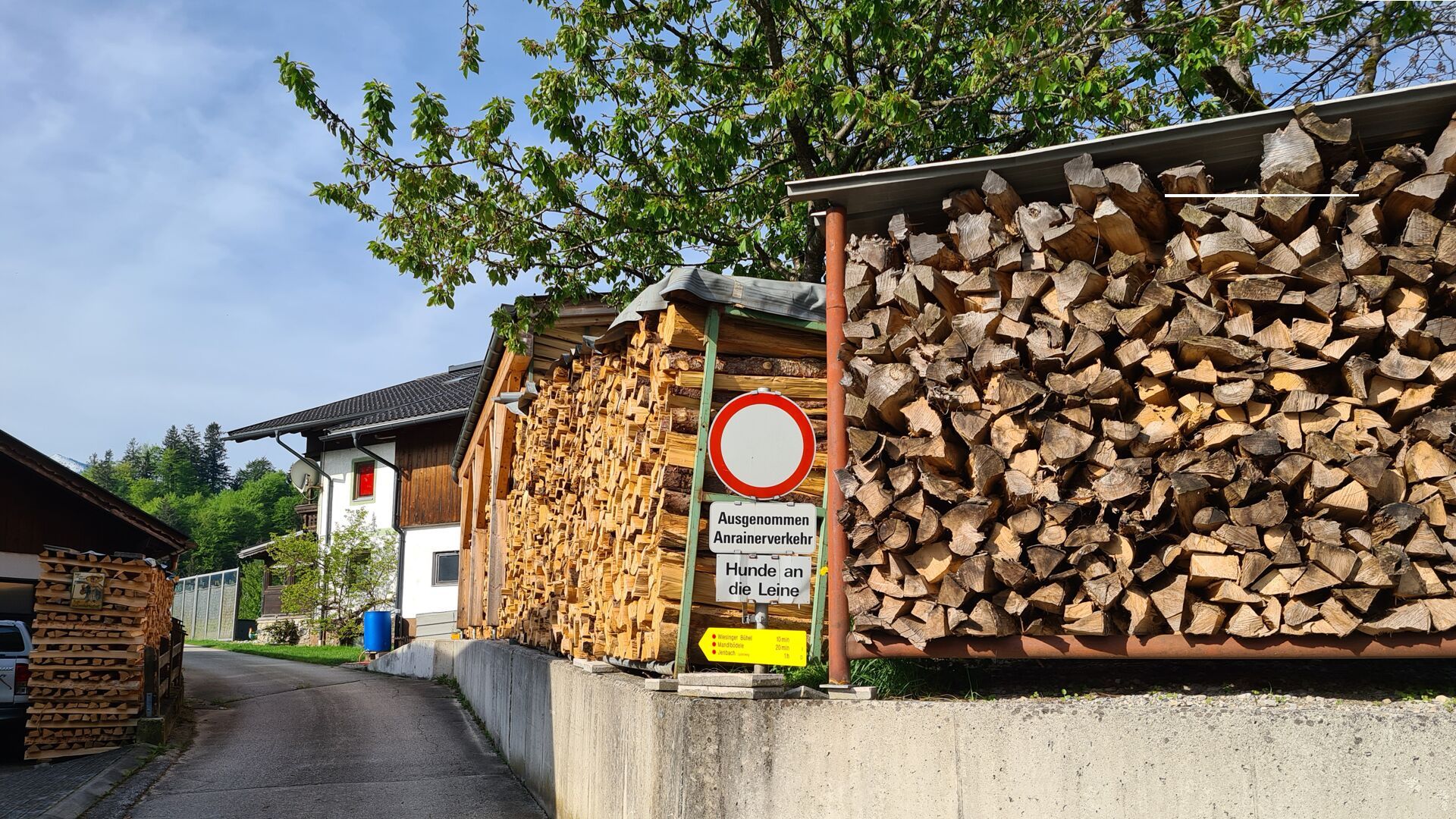
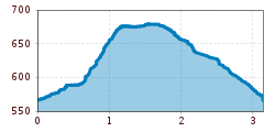
From the parish church Wiesing, follow the village road to the primary school. After the kindergarten, turn left and continue along the Leitenweg path in the direction of Jenbach. At the first sitting bench, turn right and follow the path as it meanders up to the Mandlbödele, where you will find a viewing platform and a small playground. The path continues along the ridge to the Bühelkreuz. Take the path back via the district Erlach and follow the village road to the village centre of Wiesing.
Take the regional bus (lines 4080 or 8332) to the village centre of Wiesing and get off at the "Wiesing Dorf" stop.
Underground car park in the centre of Wiesing (paid parking).


.jpg")


.jpg")


")


