
Difficulty:difficult
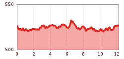
Length:11.3 kmDuration:6:45 hElevation uphill:1,010 m
Long, flat circuit along the Ziller and Inn
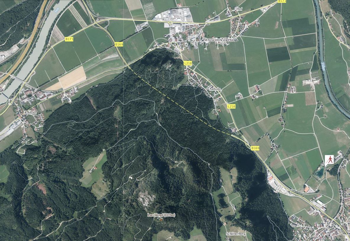
The course runs from Schlitters bathing lake toward the north between fields and meadows toward the bank of the Ziller Stream. The course then goes along the stream until it reaches the River Inn, which is to be followed upstream toward the west. After a round through the town of Rotholz, one reaches a marvellous avenue that leads all the way to Strass. Through the town and across fields towards the south, one returns to the starting point.


-min.jpg")
 © Bergbahn Pillersee.jpg")


Erwin Haiden, bikeboard.at.jpg")


