
Arrival by public transport
Take the regional bus (lines 4080 or 390) to the SPAR Eder supermarket. Get off at the "Achenkirch Abzw Christlumlifte" bus stop.
Moderately difficult running route into Achenkirch’s Oberautal valley, along the edge of the forest and to the lakeshore. 6.4km with 70m elevation gain.
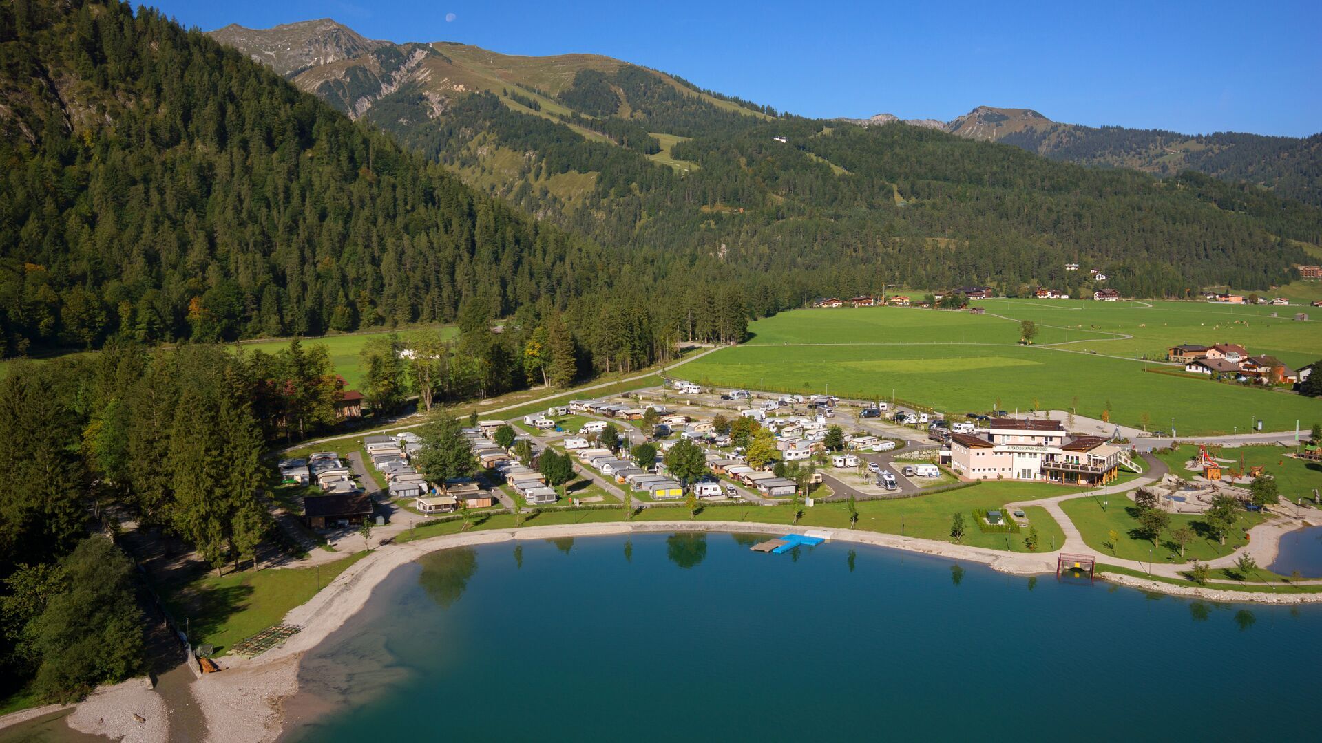

From SPAR Eder supermarket, this tour climbs over some inclines along the edge of the forest into the Obertautal valley and to Lake Achensee. Run past the bathing beach and through meadows and fields and return to the starting point.
Take the regional bus (lines 4080 or 390) to the SPAR Eder supermarket. Get off at the "Achenkirch Abzw Christlumlifte" bus stop.
Follow the Achensee main road (B181) to the Achenkirch Süd exit and turn off there. A few metres after the junction, turn right and follow the road for about 600 metres. The car park is located opposite the SPAR Eder supermarket.
Einfahrt Christlum car park in Achenkirch (paid parking). The nearest electric vehicle charging station is at the Sport Busslehner warehouse car park (Obere Dorfstraße 188).


