Open interactive mapOpen this POI on the interactive mapElevation profileDownload401 Zillertaler Höhenstraße (Auffahrt Uderns).gpx
13 Zillertal-RadwegDifficulty:easyLength:30.5 kmDuration:2:00 hElevation uphill:125 mGo to biketourGo to biketour: 13 Zillertal-Radweg
web-wilder-kaiser-bergdoktorpraxis-ellmaul-sommer2022-mathaeusgartner-2©mathaeusgartner © Mathäus Gartner Wilder Kaiser cycle route no. 14Difficulty:mediumLength:38.3 kmElevation uphill:520 mGo to biketourGo to biketour: Wilder Kaiser cycle route no. 14
Tour of the Alps © Hannes Sautner Alpbachtal GiroOpening hours:closedDifficulty:difficultLength:117.4 kmDuration:5:45 hElevation uphill:2,250 mGo to biketourGo to biketour: Alpbachtal Giro
amberger-huette1 (1) © Ötztal Tourismus 694 Amberger HütteOpening hours:openDifficulty:mediumLength:23.7 kmDuration:3:00 hElevation uphill:960 mGo to biketourGo to biketour: 694 Amberger Hütte
Supernatural Trail im Bikepark © © Serfaus-Fiss-Ladis Marketing GmbH SupernaturalOpening hours:openDifficulty:mediumLength:610 mGo to biketourGo to biketour: Supernatural
rennradtour - sölden - ötztaler gletscherstraße zum rettenbachgletscher_img_26244766 © Dominic Kuen Road cycling tour: Sölden - Ötztal Glacier Road up to Rettenbach GlacierDifficulty:difficultLength:29.6 kmDuration:3:28 hElevation uphill:1,457 mGo to biketourGo to biketour: Road cycling tour: Sölden - Ötztal Glacier Road up to Rettenbach Glacier
Spielplatz Leithe Wirt in Serfaus © © Serfaus-Fiss-Ladis Marketing GmbH Bifang TourOpening hours:openDifficulty:easyLength:10.4 kmDuration:1:00 hElevation uphill:320 mGo to biketourGo to biketour: Bifang Tour
TVB Bike 158.jpg © Bergbahnen Langes/Klemens Koenig Freeridestrecke Forrest Aisle (2)Opening hours:openDifficulty:mediumLength:3.3 kmDuration:0:20 hGo to biketourGo to biketour: Freeridestrecke Forrest Aisle (2)
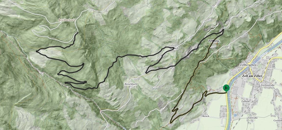
Rennradtour entlang der Zillertaler Hoehenstrasse Mayrhofen-Hippach_MichaelWerlberger-2.jpg © Michael Werlberger 401 | Zillertaler HöhenstraßeDifficulty:difficultLength:52.6 kmDuration:7:40 hElevation uphill:1,890 mGo to biketourGo to biketour: 401 | Zillertaler Höhenstraße
walderalm-im-karwendel© © TVB Hall-Wattens 408 - Hinterhornalm – GanalmDifficulty:difficultLength:23.1 kmDuration:2:30 hElevation uphill:787 mGo to biketourGo to biketour: 408 - Hinterhornalm – Ganalm
Tiroler Zugspitz Arena, Ehrwald, Seebensee_Tirol Werbung_Heinzlmeier Bert_Ehrwald (2) © Tirol Werbung | Bert Heinzlmeier Ehrwalder Alm SeebenseeDifficulty:mediumLength:9.0 kmDuration:2:30 hElevation uphill:630 mGo to biketourGo to biketour: Ehrwalder Alm Seebensee
Das Falzthurntal wirkt aufgrund der bunten Blumenwiesen und der markanten Bergwelt sanft und schroff zugleich. © Achensee Tourismus Handbike ride Pertisau - FalzthurnalmDifficulty:difficultLength:3.3 kmDuration:1:00 hElevation uphill:105 mGo to biketourGo to biketour: Handbike ride Pertisau - Falzthurnalm
der Weg am Ufer des Achensees ist ein tolles Handbiker Areal © Achensee Tourismus Handbike ride Maurach - AchenkirchDifficulty:mediumLength:9.0 kmDuration:1:00 hElevation uphill:35 mGo to biketourGo to biketour: Handbike ride Maurach - Achenkirch
am Seeufer entlang von Maurach nach Pertisau © Achensee Tourismus Handbike ride Achenkirch - PertisauDifficulty:mediumLength:13.5 kmDuration:1:00 hElevation uphill:35 mGo to biketourGo to biketour: Handbike ride Achenkirch - Pertisau
Navis, Stöcklalm_Tirol Werbung_Bitter Johannes_Navis (1) © Tirol Werbung | Johannes Bitter Naviser mountainbike Naviser Pasture RoundDifficulty:mediumLength:14.0 kmDuration:3:00 hElevation uphill:811 mGo to biketourGo to biketour: Naviser mountainbike Naviser Pasture Round
Lechtal_Tirol Werbung_Unverzart Olaf_Keine Ortsangabe (6).jpg © Unverzart Olaf Bikepacking Tour Tyrol - Stage 1 Difficulty:difficultLength:83.0 kmDuration:6:37 hElevation uphill:1,210 mGo to biketourGo to biketour: Bikepacking Tour Tyrol - Stage 1
Radfahrt durch das Karwendeltal zum Karwendelhaus.jpg © GREGOR KUNTSCHER Bikepacking Tour Tyrol - Stage 3 Variant ADifficulty:mediumLength:77.0 kmDuration:6:18 hElevation uphill:800 mGo to biketourGo to biketour: Bikepacking Tour Tyrol - Stage 3 Variant A
Radfahrerinnen bei herbstlichem Wetter auf dem Weg zur Gaistalalm.jpg © Region Seefeld; Timo Borkowski Bikepacking Tour Tyrol - Tour OverviewDifficulty:difficultLength:413.0 kmDuration:34:00 hElevation uphill:6,600 mGo to biketourGo to biketour: Bikepacking Tour Tyrol - Tour Overview
Radfahrerinnen bei herbstlichem Wetter auf dem Weg zur Gaistalalm.jpg © Region Seefeld; Timo Borkowski Bikepacking Tour Tyrol - Stage 2Difficulty:difficultLength:77.0 kmDuration:6:47 hElevation uphill:1,420 mGo to biketourGo to biketour: Bikepacking Tour Tyrol - Stage 2
weg-zum-karwendelhaus.jpg © Region Seefeld | Stefan Wolf Bikepacking Tour Tyrol - Stage 3Difficulty:difficultLength:80.0 kmDuration:7:19 hElevation uphill:1,730 mGo to biketourGo to biketour: Bikepacking Tour Tyrol - Stage 3
Kufstein_Tirol Werbung_Unverzart Olaf_Kufstein (1).jpg © Unverzart Olaf Bikepacking Tour Tyrol - Stage 4Difficulty:difficultLength:56.0 kmDuration:4:39 hElevation uphill:930 mGo to biketourGo to biketour: Bikepacking Tour Tyrol - Stage 4
Karlsbaderhütte ©Erwin Haiden, nyx.at.jpg © Erwin Haiden, nyx Karlsbaderhütte No. 154Difficulty:difficultLength:26.2 kmDuration:4:00 hElevation uphill:1,590 mGo to biketourGo to biketour: Karlsbaderhütte No. 154
Lakata Trail © bikeboard/Roland Kachelhauser Flow Family Trail Nr. 155Difficulty:easyLength:4.0 kmDuration:0:30 hElevation uphill:60 mGo to biketourGo to biketour: Flow Family Trail Nr. 155
Singletrail Höhenweg 880Opening hours:closedDifficulty:mediumLength:2.0 kmDuration:0:15 hElevation uphill:15 mGo to biketourGo to biketour: Singletrail Höhenweg 880
471 Kaltenbach - WedelhütteDifficulty:mediumLength:36.9 kmDuration:5:00 hElevation uphill:1,759 mGo to biketourGo to biketour: 471 Kaltenbach - Wedelhütte
Give feedback for a chance to win a special holiday experience!Click here for the surveyClick here for the survey
Andi Frank (247).jpg")


")


")


")
.jpg")


.jpg")


