
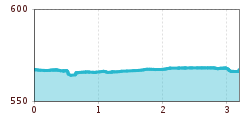
Difficulty:
medium
Length:
5.0 km
Duration:
3:00 h
Elevation uphill:
455 m
Grenoble speed
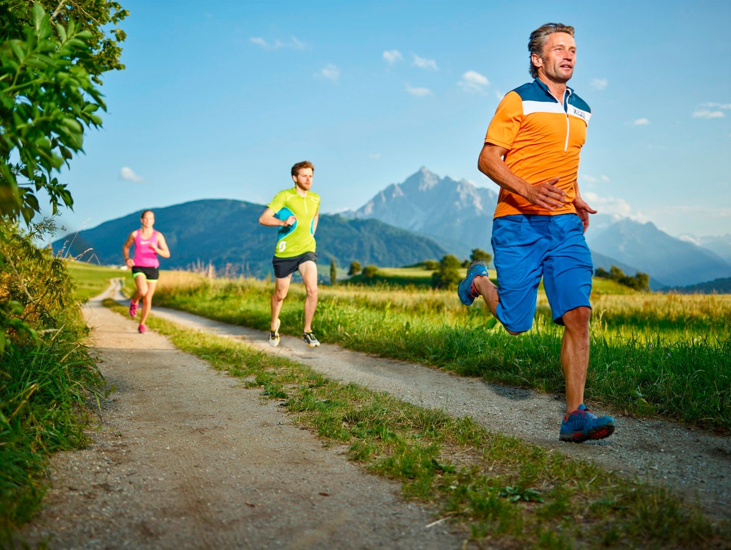
This flat route initially leads east towards the New Orleans bridge. When you reach the bridge, cross the river and turn right to continue along the southern bank. This section of the route includes a special feature: an interval is marked every 200 metres along the path for 1,000 metres.
The route continues straight on to the Grenobler Brücke bridge and crosses the river again. From there, turn right and follow the path along the Inn back to the starting point.
A short training route at the end of the Fit 2000 course between Rossau and the Olympic Village (O-Dorf). (Also suitable for winter runs and Nordic walking)


.jpg")


