
Place:Gnadenwald
:Alpine pasture / hut / mountain restaurant
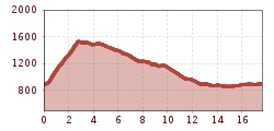
On the last day of our long-distance hike through the Hall-Wattens region, we reach one of the most beautiful high plateaus, the Walderalm. Before leaving the Karwendel mountains with a view into the Vomperloch, we end our 5-day journey through the region.

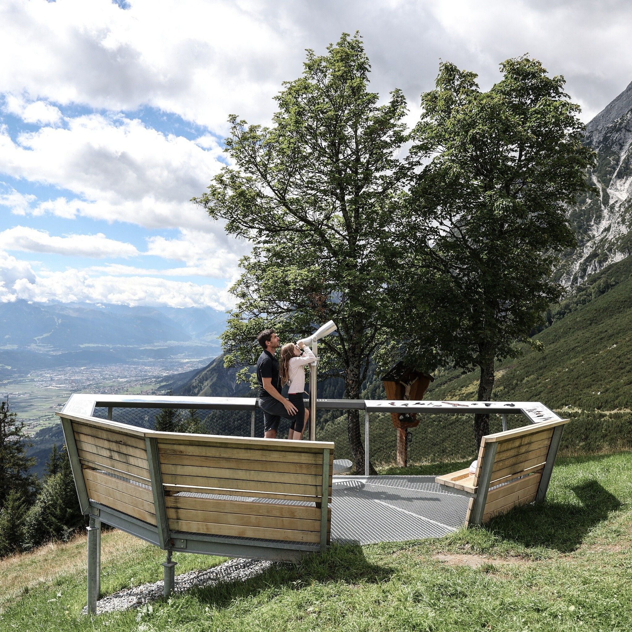
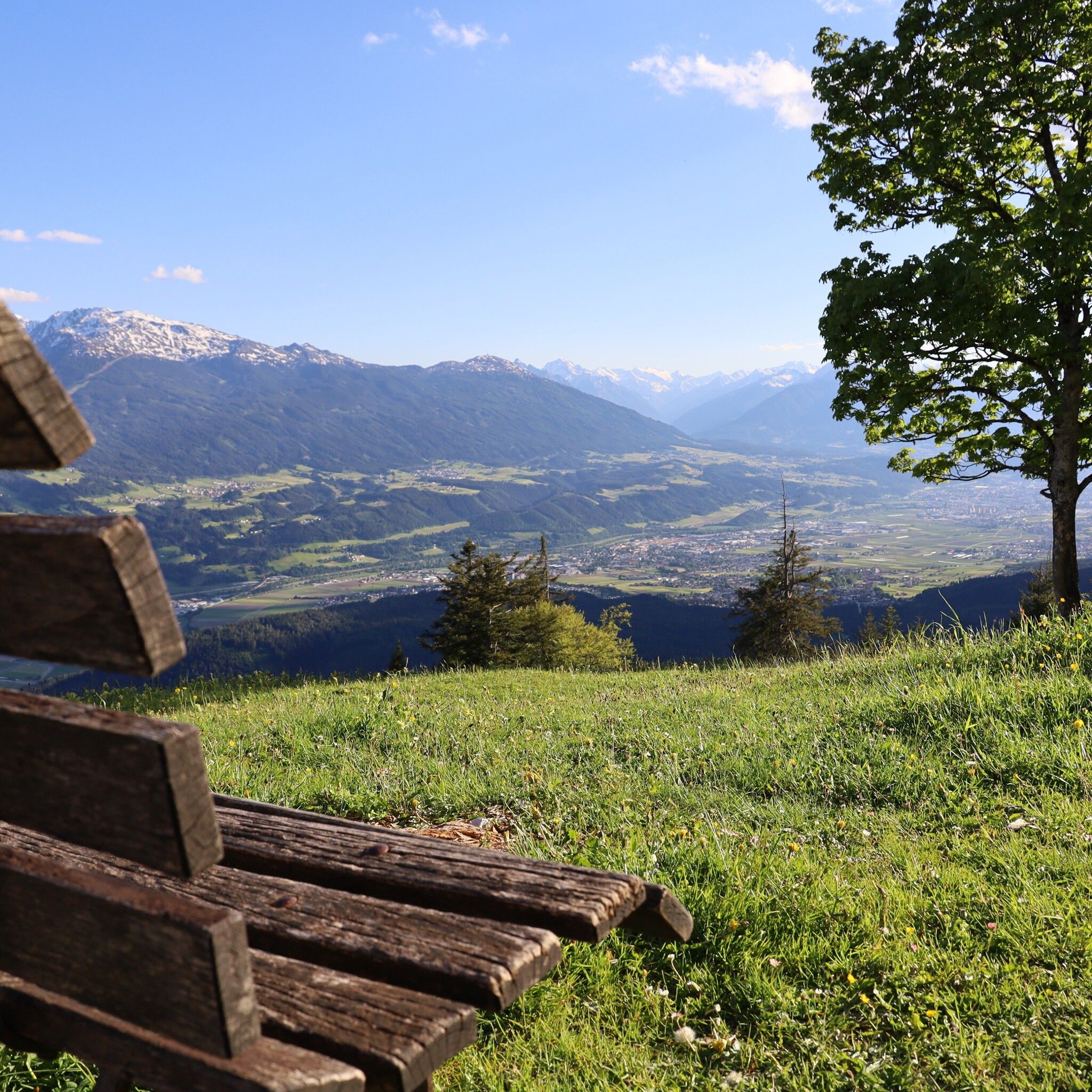
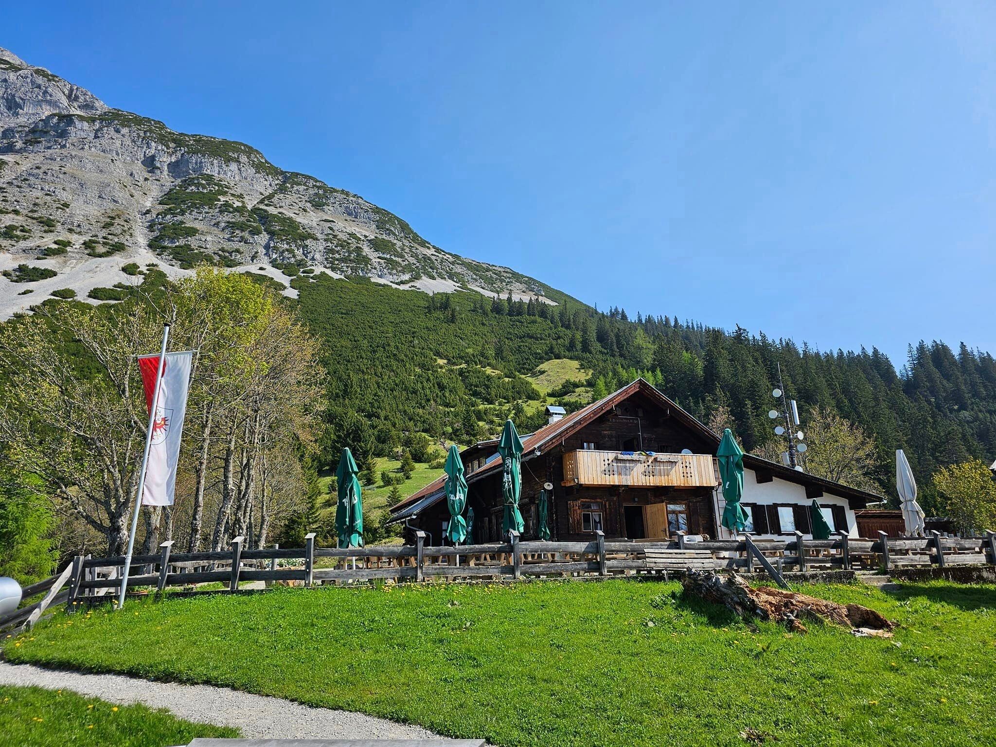
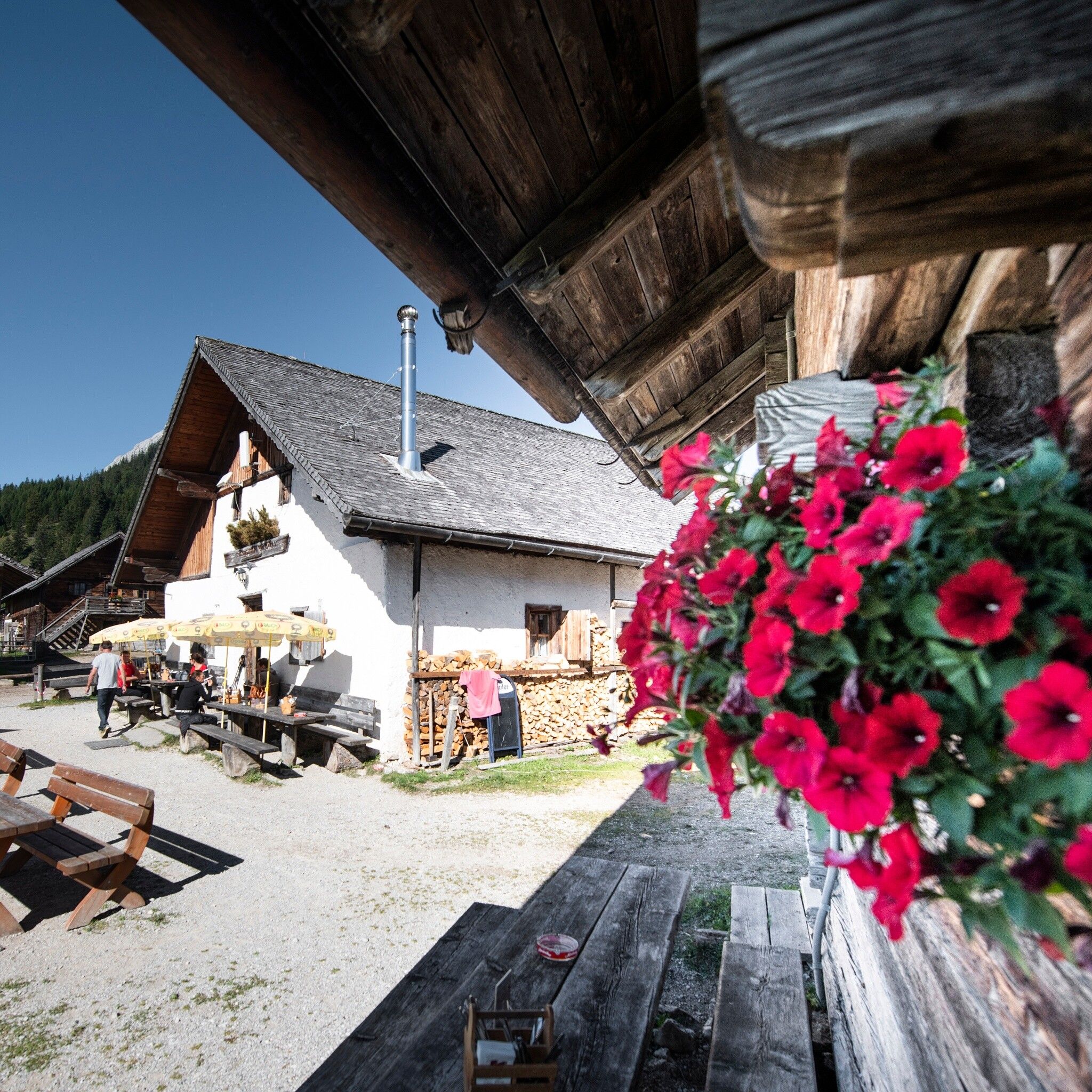
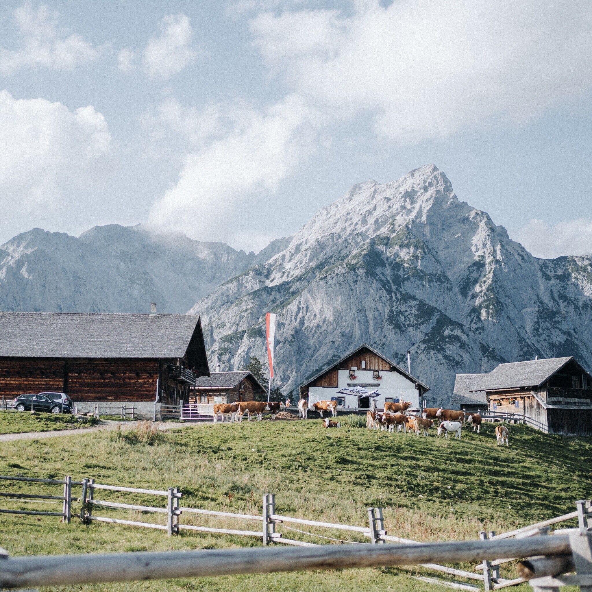
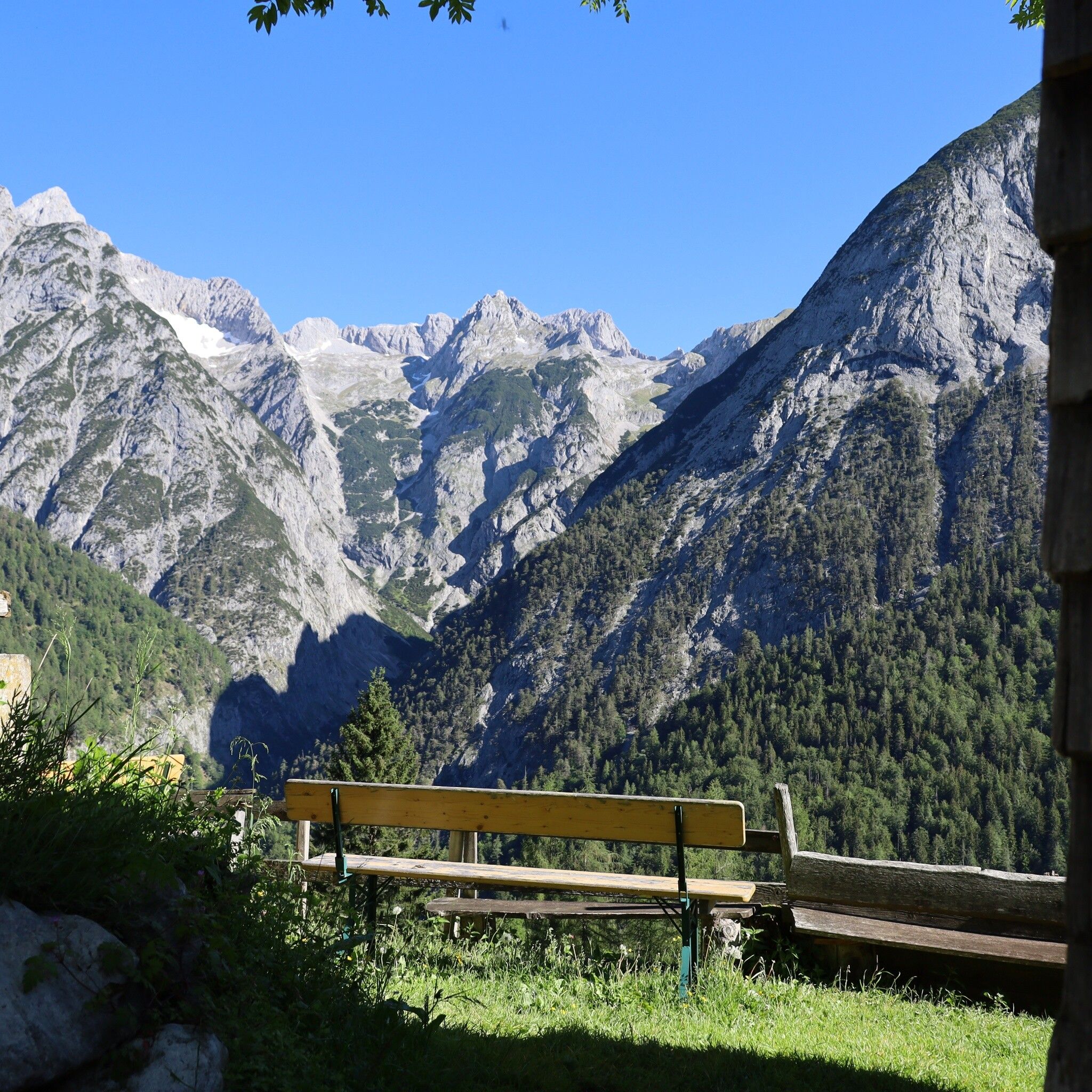
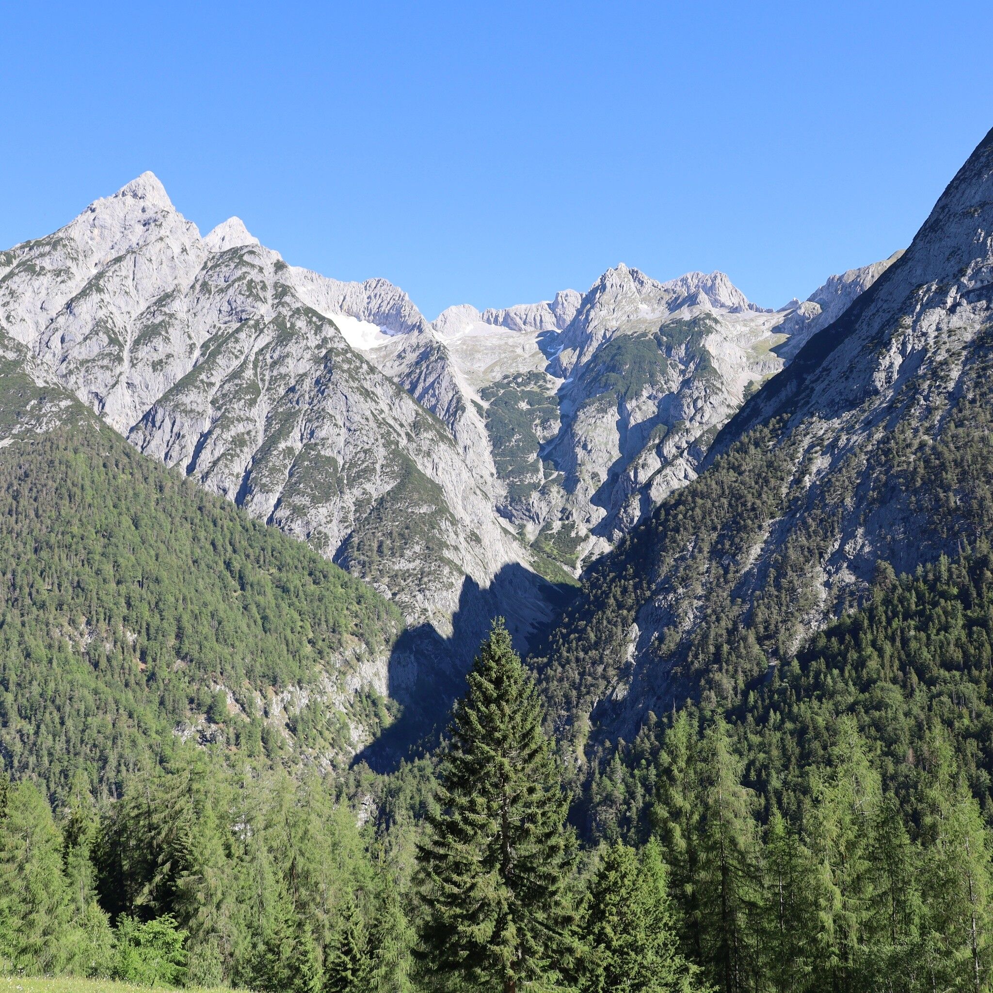
In Gnadenwald, the day starts with a brisk ascent to the Hinterhornalm. This south-facing ascent offers little shade in summer. Upon reaching the Hinterhornalm and the "Adlerblick" viewing platform, the route continues leisurely to the Walderalm. The panoramic view from the Walderalm, including the Karwendel panorama, the view of the Tuxer Alps, and the Inn Valley, can be fully enjoyed here.
After a refreshment, the descent proceeds via the Ganalm (not operated) with views into the Vomperloch. We mentally say goodbye to our circuit through the Hall-Wattens region and reach the starting point where we began 5 days ago.
By bus line 3 to Gnadenwald St. Martin
If you arrive by car, we can issue you a permit card for the parking lot in Gnadenwald for the duration of the Bergsagen long-distance hiking trail: Email request


.jpg")
.jpg")


.jpg")
