
Opening hours:Open today
Place:Berwang
:Restaurant, Snack bar / StreetFood
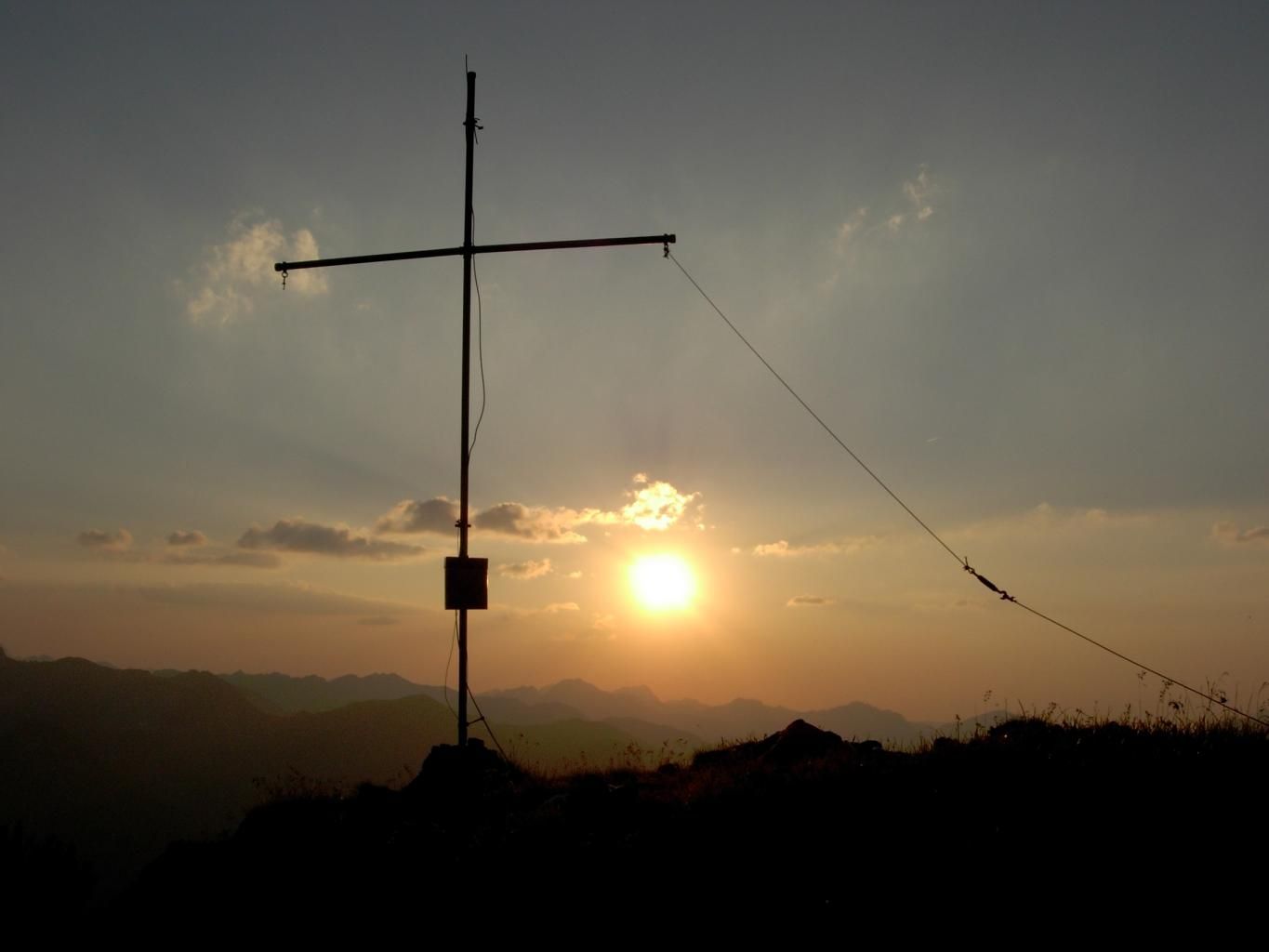
Mountain hike to the Suwaldspitze via the valley Älpeletal
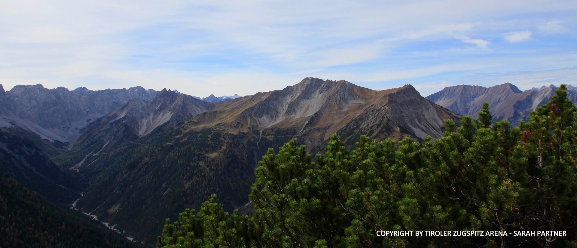
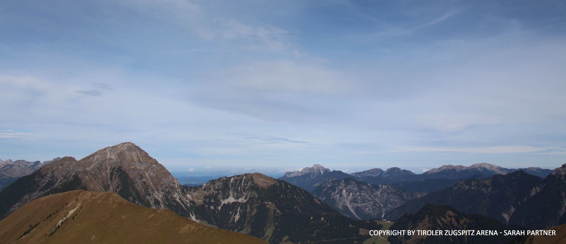
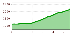
The mountain hike starts at the car park Berwanger Sonnalmbahn (entrance of Berwang). Follow the road / sidewalk slightly ascending in direction to the center until you reach Heimatmuseum. Turn left there, gently sloping and immediately right again on the street into the district Gröben. Pass Gröben. At the end of the village continue the hike on the bride gravel path, which soon turns into a narrow path. Hike through the valley Älpelestal, along the brook Älpelesbach up to the Älpele. Turn right at the crossing and follow the sign Hönig. When you arrive at the saddle, follow the signs to the left and take the path to the summit Vordere Suwaldspitze (steep, grassy northwest flank to the north ridge and up to the top).
WICHTIGE HINWEISE:
● Auf den markierten Wanderwegen bleiben
● Abstand zu Weidetieren halten
● Beachte die Öffnungszeiten der Hütten
● Alpiner Notruf: 140
Right at the tour start you'll find a big parking lot


")


.jpg")
.jpg")
.jpg")
.jpg")
.jpg")


")
")
.jpg")


.jpg")
 Mirja Geh (26).jpg")
