
Mountain hikes Family tour Itter - Hopfgarten

Hopfgarten im Brixental / Kitzbühel Alps
Difficulty ratings: easy
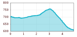
Route length: 4.9 km
Duration: 2:00 h

An easy hike for the whole family.

Tour information

  • Requirement: easy
  • Length: 4.9 km
  • Duration: 2:00 h
  • Elevation uphill:63 hm
  • Elevation downhill:153 hm
Highest point759 m

Starting point

Itter village square

Finishing point

Infobüro Hopfgarten
  • Fitness level 1 / 6
  • Technique 1 / 6

Features

  • Suitable for families
  • suitable for pushchairs

Best time of year

  • January
  • February
  • March
  • April
  • May
  • June
  • July
  • August
  • September
  • October
  • November
  • December

Trail condition

Asphalt road, forest and woodland path 

Equipment

Outdoor clothing, sturdy footwear sufficient
Source: Kitzbüheler Alpen Management GmbH

Description

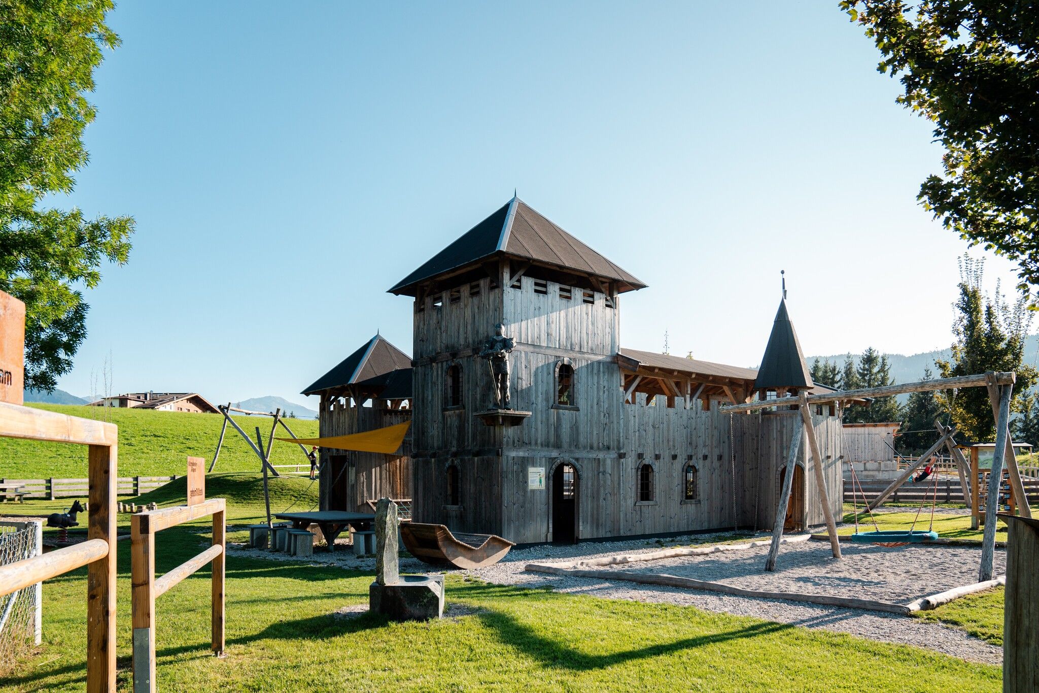
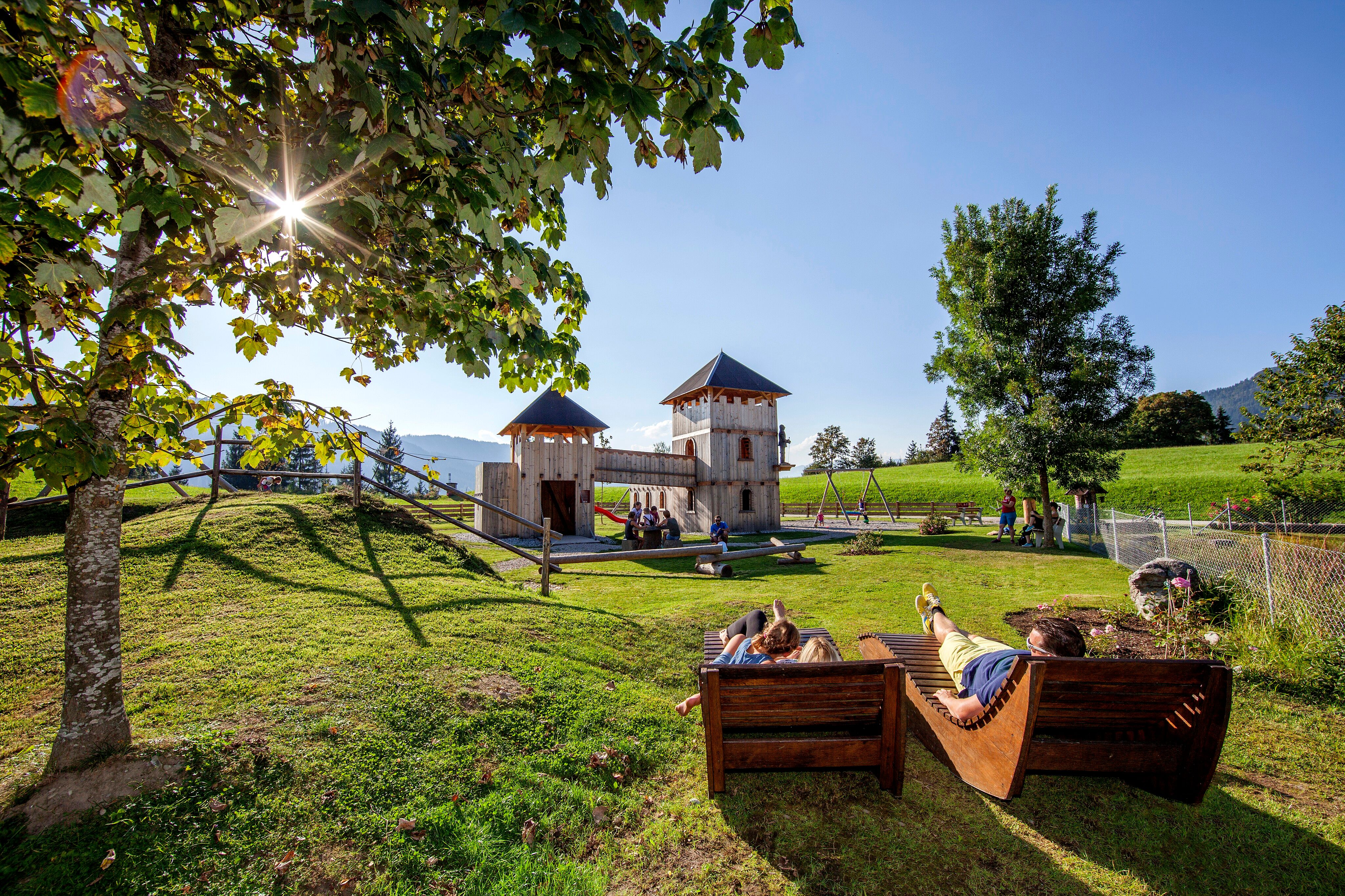
The starting point of this stroller-friendly hike is the village square in Itter. Follow the signs towards Rosenweg (No. 4). Passing the viewing platform, the route leads via the rITTERspielplatz into the Itterer Dörfl. Along the Itterstraße, you return to the starting point. Continuing on the Lindweg, past the Sport- und Fitnesswiese Itter (near the football pitch), a short forest passage leads to the district of Hacha. From here, the path leads downhill on the road into the village centre of Hopfgarten. 

Take bus line 862 from Hopfgarten back to the starting point, the village square in Itter.

Getting here

  • Arrival by public transport

    Bus: Hopfgarten Berglift Bahnhof
    Train:  Hopfgarten Berglift Bahnhof  

    Regional Guest Card = Train ticket from Kirchbichl to Hochfilzen + Bus ticket from Mariastein to Kitzbühel included! 

    Valid on ÖBB local trains (S, REX) and InterRegio trains (IR) between Kirchbichl - Wörgl and Hochfilzen
    Not valid on RJ, RJX, EC, IC, ICE, D and NJ/EN trains

    More detailed information at: www.hohe-salve.com/mobility


  • Parking

    free car park directly at the village square in Itter

Weather

Today

mainly clear
21°C/8°C
60%2.8l0 km/h

Mon

light rain showers
20°C/10°C
55%1.4l0 km/h

Tue

clear sky
23°C/8°C
0%0l5 km/h
Go to weather forecast

More tours in the surrounding area

  • Koasa Trail Stage 3

    Difficulty:medium
    Length:19.9 kmDuration:7:10 hElevation uphill:730 m
  • Koasa Trail Stage 5

    Difficulty:medium
    Length:14.0 kmDuration:6:45 hElevation uphill:935 m
  • Kaiserkrone - stage 5

    Difficulty:medium
    Length:10.8 kmDuration:5:15 hElevation uphill:840 m
  • Kaiserkrone - stage 4

    Difficulty:medium
    Length:16.1 kmDuration:6:30 hElevation uphill:640 m
  • Koasa Trail Stage 1

    Difficulty:medium
    Length:16.9 kmDuration:6:45 hElevation uphill:937 m
  • Koasa Trail Stage 4

    Difficulty:medium
    Length:20.6 kmDuration:7:35 hElevation uphill:923 m
  • Alpine Outdoor Gallery

    Difficulty:easy
    Length:6.7 kmDuration:2:00 hElevation uphill:117 m
  • Brechhorn

    Difficulty:medium
    Length:11.8 kmDuration:5:00 hElevation uphill:600 m
  • Angerer Alm

    Difficulty:medium
    Length:5.7 kmDuration:2:45 hElevation uphill:652 m
  • The Wiegalm

    Difficulty:medium
    Length:10.5 kmDuration:4:45 hElevation uphill:680 m
  • Koasa Trail Stage 2

    Difficulty:medium
    Length:11.8 kmDuration:7:15 hElevation uphill:1,078 m
  • Eifersbacher Wasserfall

    Difficulty:medium
    Length:5.9 kmDuration:2:30 hElevation uphill:241 m
  • Schafsiedel

    Difficulty:medium
    Length:15.6 kmDuration:7:00 hElevation uphill:1,280 m
Newsletter

The mountain is calling? So does our newsletter!

In our monthly newsletter we reveal the best holiday tips for Tyrol.
