Mountain hikes Forest Route Active Route Münster

Münster / Brandenberger Alpen (Rofan)
Difficulty ratings: easy
Route length: 3.5 km
Duration: 0:50 h

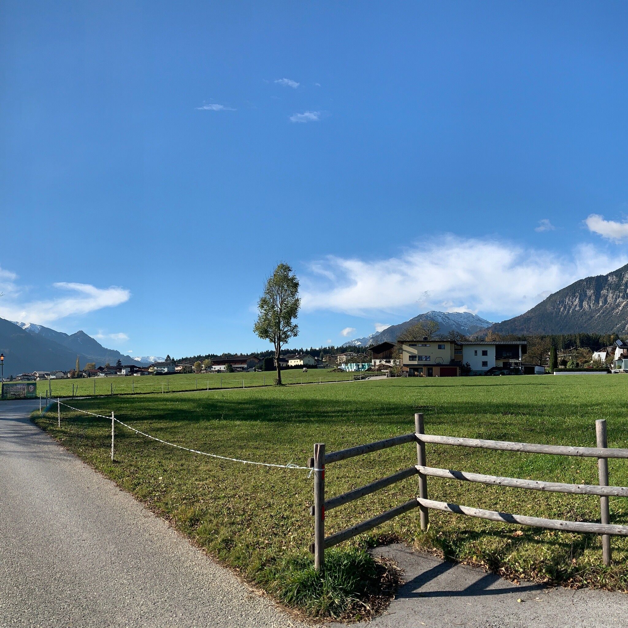
Leisurely circular route in Münster on wide paths with a pleasurable experience in the forest.

Tour information

  • Requirement: easy
  • Length: 3.5 km
  • Duration: 0:50 h
  • Elevation uphill:69 hm
  • Elevation downhill:69 hm
Highest point589 m

Starting point

REHA Center Münster

Finishing point

REHA Center Münster
  • Fitness level 2 / 6

Features

  • Circular route
  • Suitable for families
  • suitable for pushchairs

Best time of year

  • January
  • February
  • March
  • April
  • May
  • June
  • July
  • August
  • September
  • October
  • November
  • December

Equipment

Good footwear, appropriate clothing depending on the weather

Source: Alpbachtal Tourismus

Description

Directly at the REHA Center Münster, three easy hikes start, which also offer a great opportunity for people with limited fitness to get back into training.
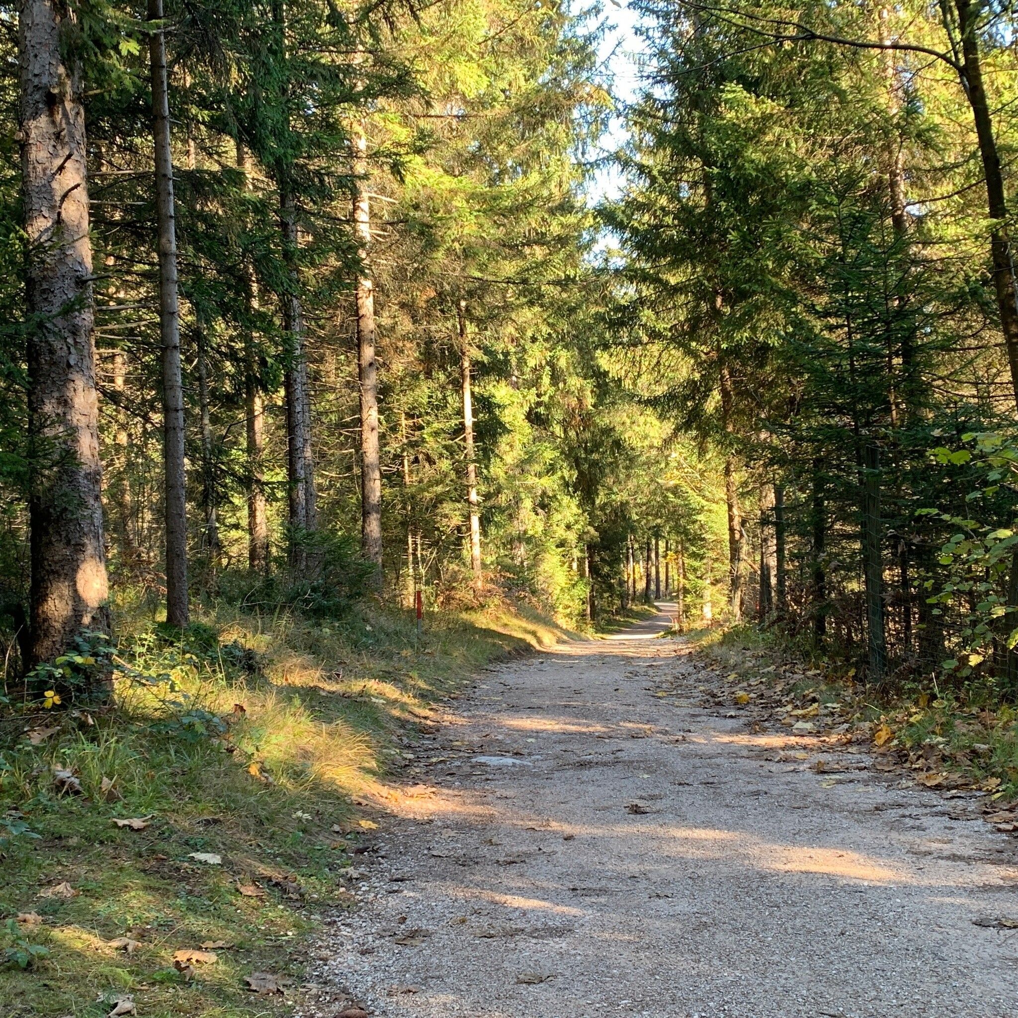
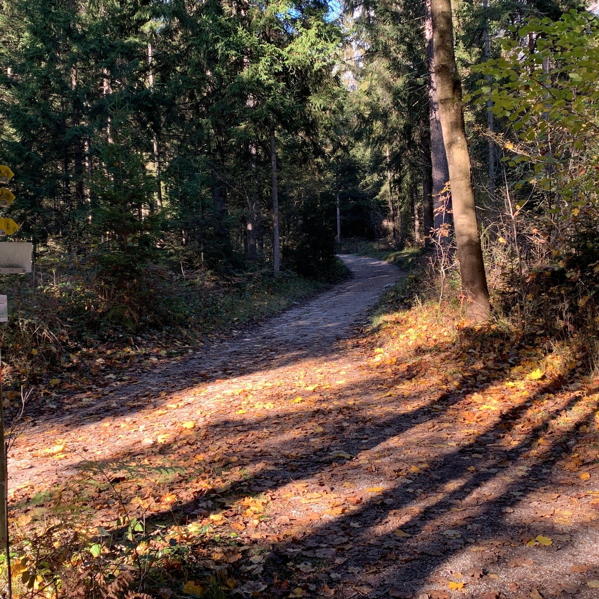
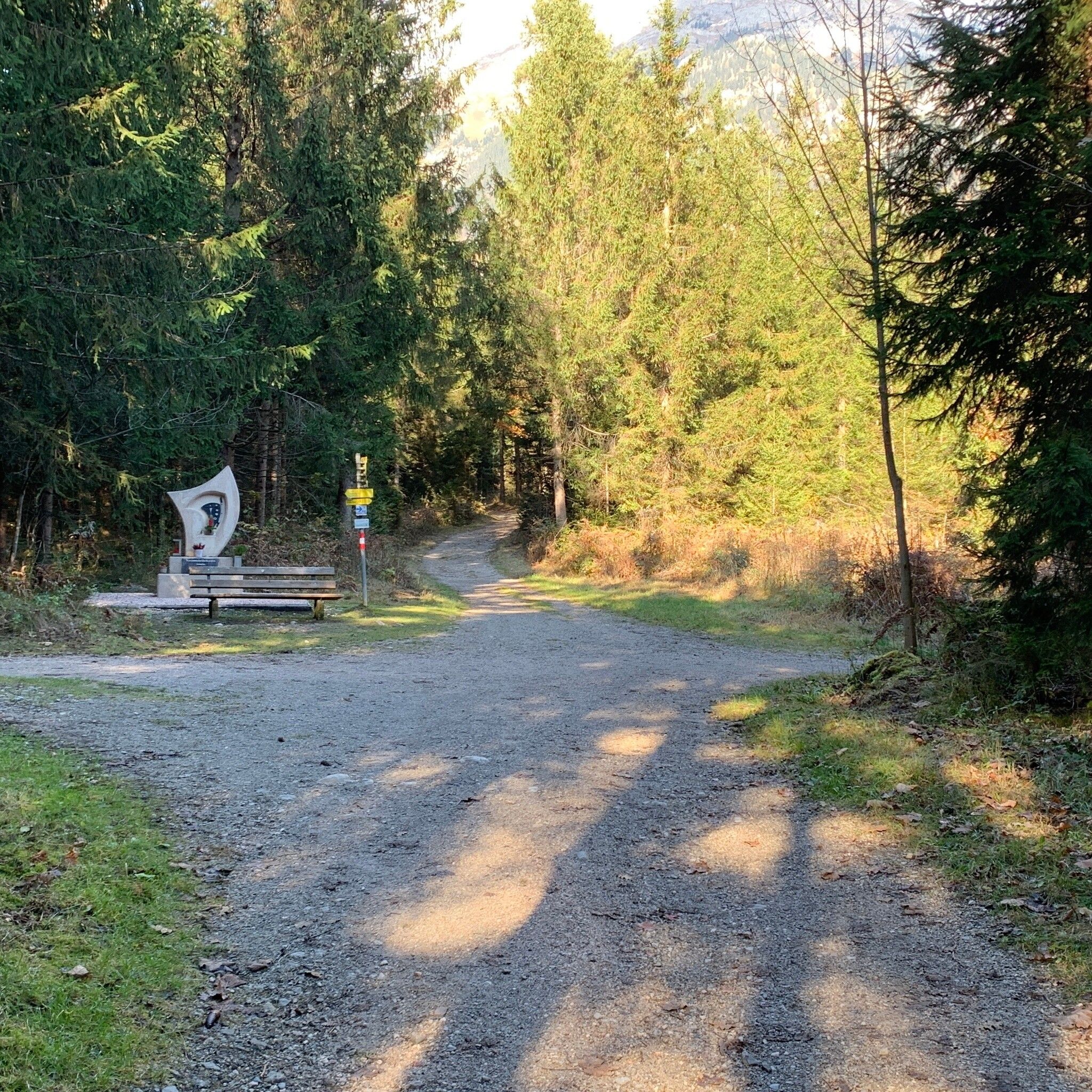
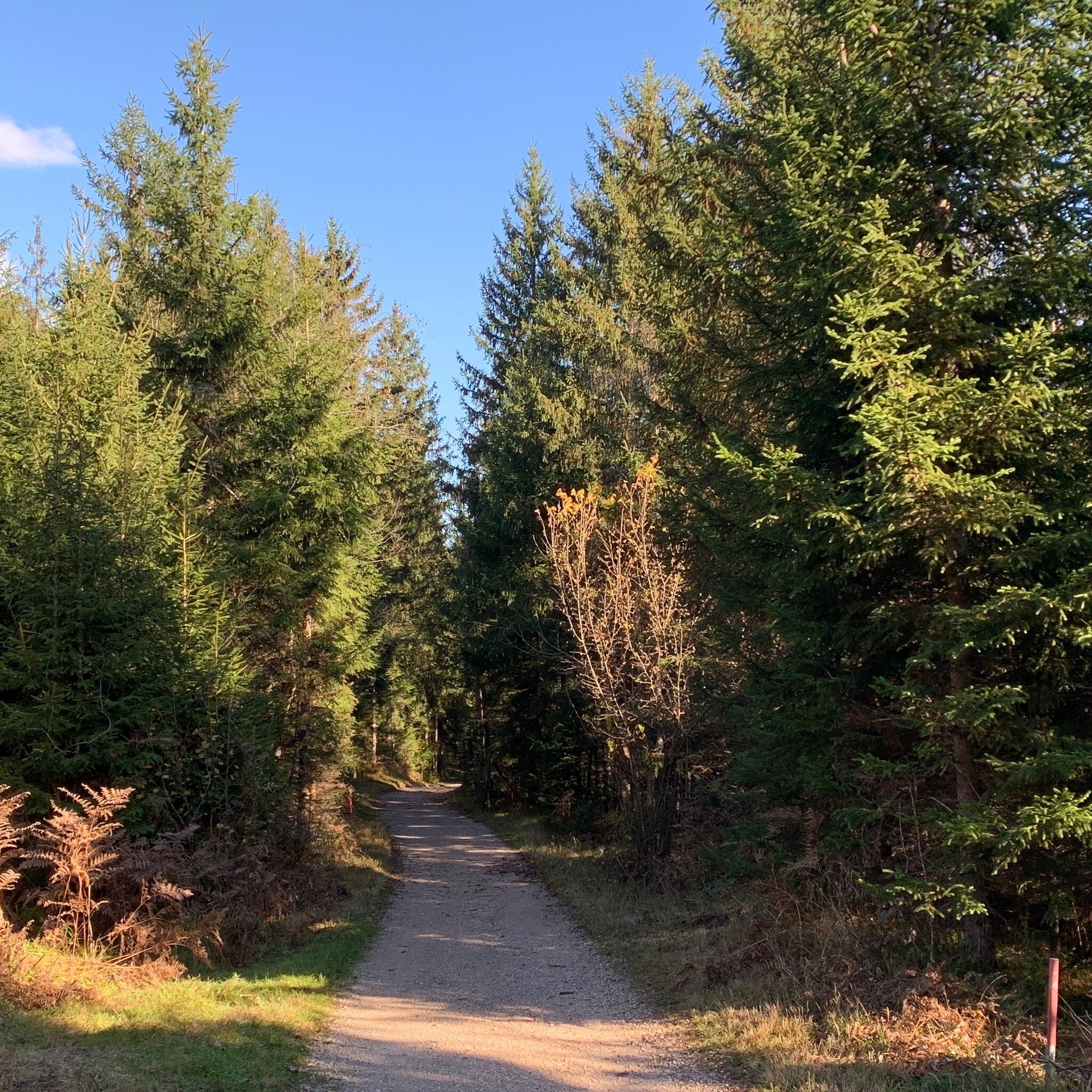
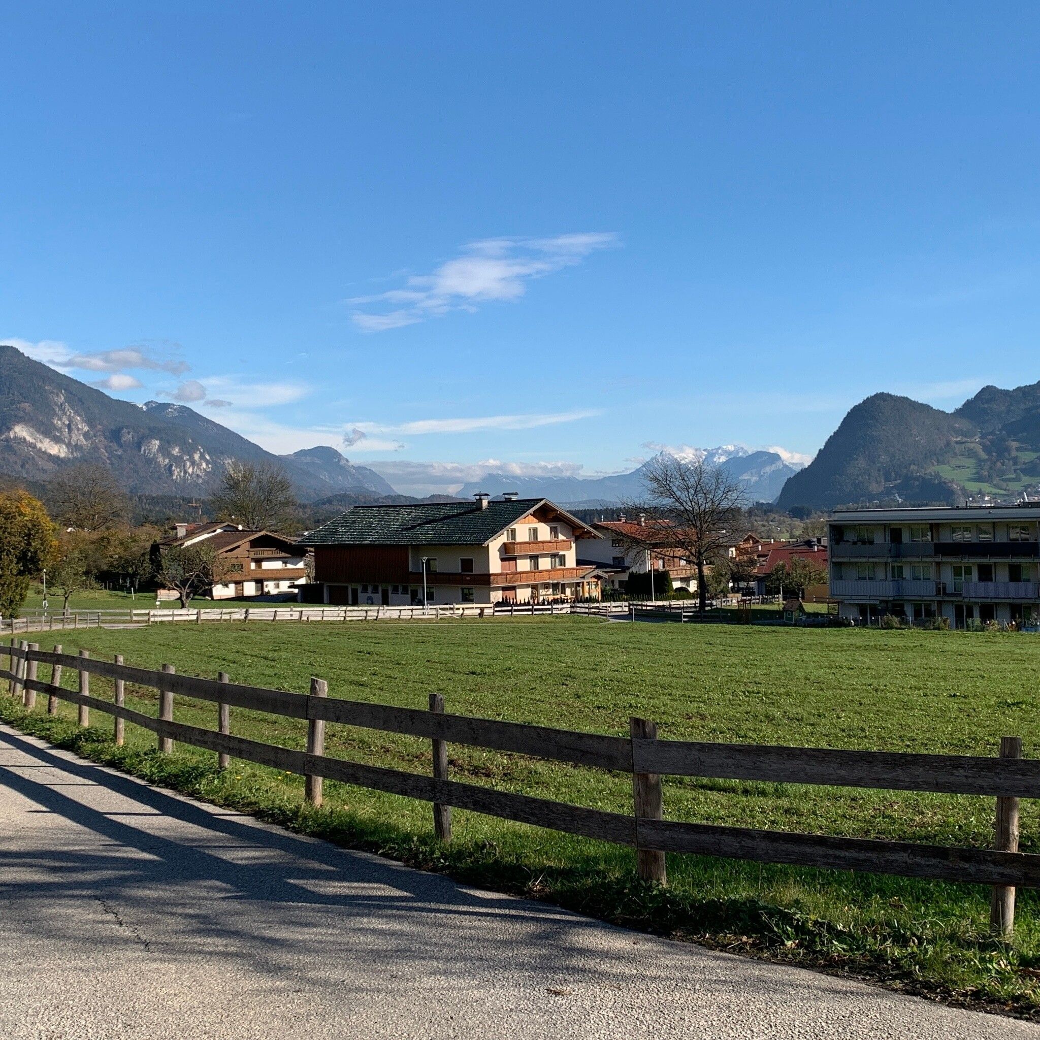
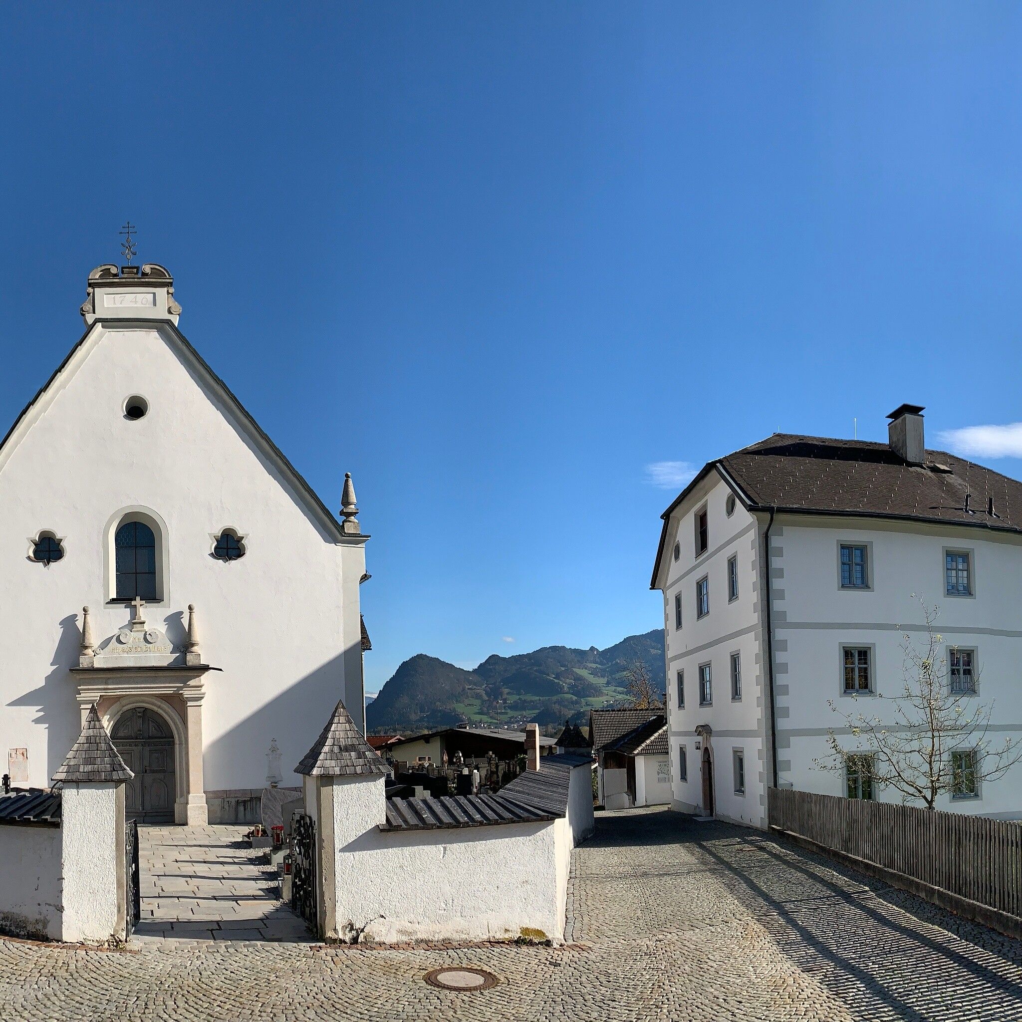
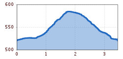
FOREST ROUTE

The route starts directly at the REHA Center and follows south of Entgasse over Hof and along the L211 to the forest. Enjoy the fresh air and the scent of the forest. The forest hiking trail then returns via Aichach and Zaussach and past the church back to the REHA Center. The wide paths are mostly asphalted and partly gravelled (2 m wide – very good surface quality).


Nearby huts and mountain restaurants

Getting here

  • Arrival by public transport

    By bus VVT line 601 - stop Münster Reha Center

  • Parking

    REHA Center Münster

More tours in the surrounding area

  • Voldöpper Spitze Loop Hike

    Difficulty: medium
    Length: 12.9 km Duration: 5:00 h Elevation uphill: 988 m
  • Day 1: 4 days - 4 summits tour

    Difficulty: medium
    Length: 9.8 km Duration: 5:00 h Elevation uphill: 984 m
  • 3-peak-tour Kienberg-Plessenberg-Heuberg

    Difficulty: medium
    Length: 8.6 km Duration: 4:30 h Elevation uphill: 779 m
  • Loop tour Juppi Zauberwald

    Difficulty: easy
    Length: 2.5 km Duration: 1:00 h Elevation uphill: 93 m
  • Kundler Klamm

    Opening hours: closed
    Difficulty: easy
    Length: 6.4 km Duration: 2:00 h Elevation uphill: 116 m
  • Farmkehralm 1.521 m

    Difficulty: medium
    Length: 9.3 km Duration: 3:30 h Elevation uphill: 506 m
  • Barrier-free path Lake Reintal

    Difficulty: easy
    Length: 6.5 km Duration: 1:45 h Elevation uphill: 15 m
  • Day 3: 4 days - 4 summits tour

    Difficulty: medium
    Length: 19.3 km Duration: 8:00 h Elevation uphill: 1,371 m
  • 4 days - 4 summits tour

    Difficulty: medium
    Length: 54.4 km Duration: 23:00 h Elevation uphill: 3,408 m
  • Kaiser Gorge - loop trail

    Opening hours: closed
    Difficulty: easy
    Length: 4.2 km Duration: 1:00 h Elevation uphill: 198 m
  • 3-day Family Tour Alpbachtal

    Difficulty: easy
    Length: 18.3 km Duration: 7:00 h Elevation uphill: 998 m
  • Wiedersberger Horn Panorama Path

    Difficulty: easy
    Length: 4.1 km Duration: 1:30 h Elevation uphill: 195 m
  • Discovering the Tiefenbach Gorge Hike

    Opening hours: closed
    Difficulty: medium
    Length: 5.7 km Duration: 3:30 h Elevation uphill: 669 m
Newsletter

The mountain is calling? So does our newsletter!

In our monthly newsletter we reveal the best holiday tips for Tyrol.