Themed hikes Glockenerlebnisweg

Waidring / Chiemgau Alps
Difficulty ratings: easy
Route length: 1.0 km
Duration: 1:00 h

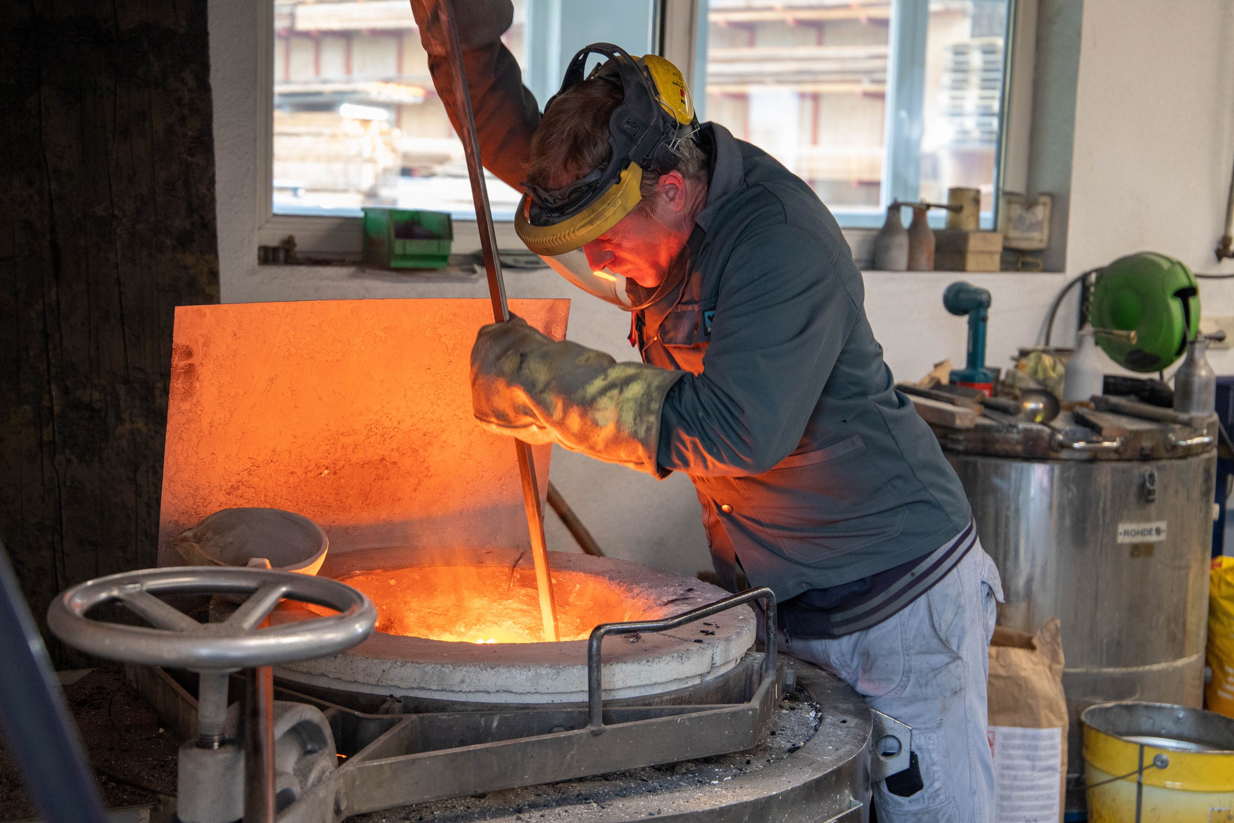
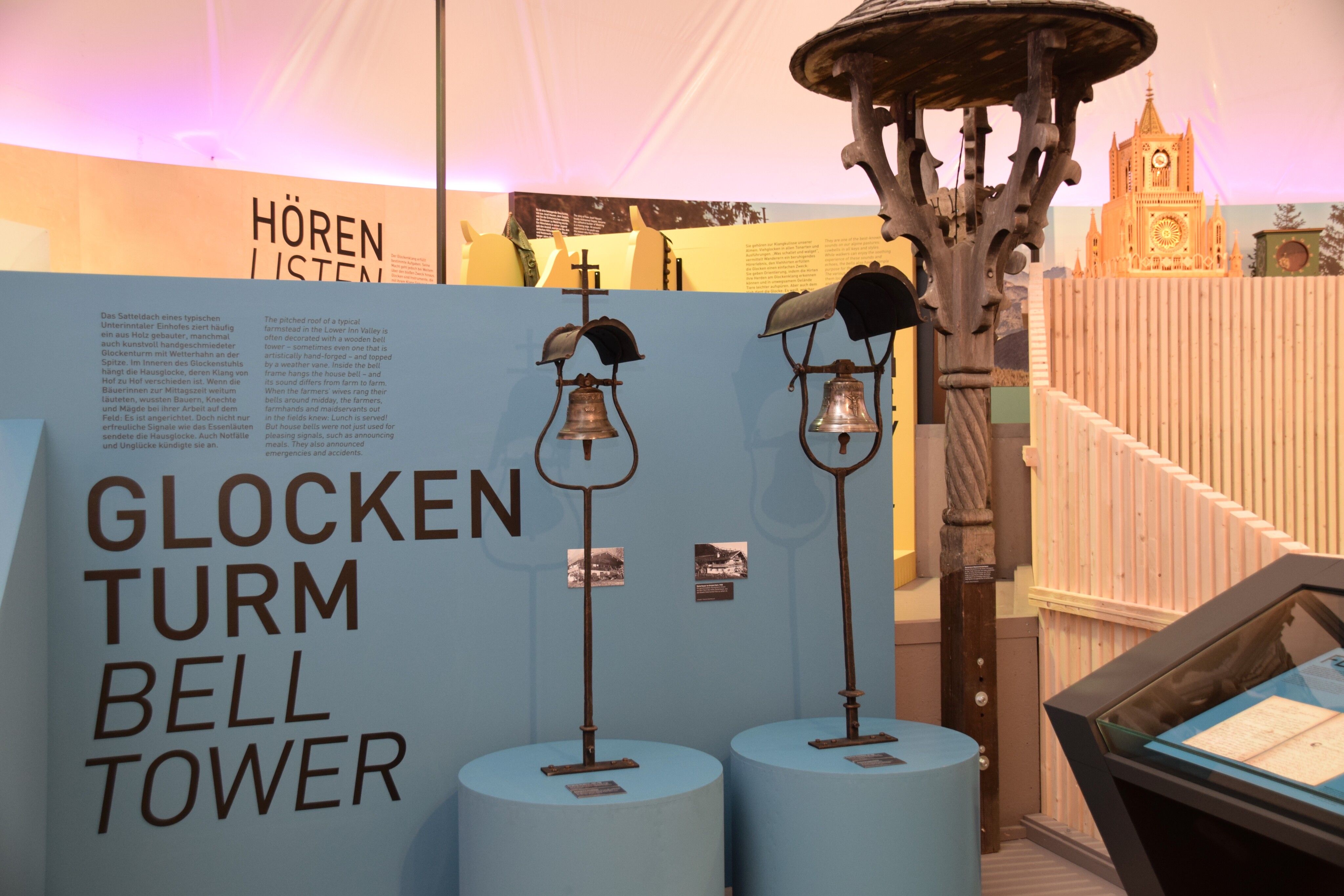
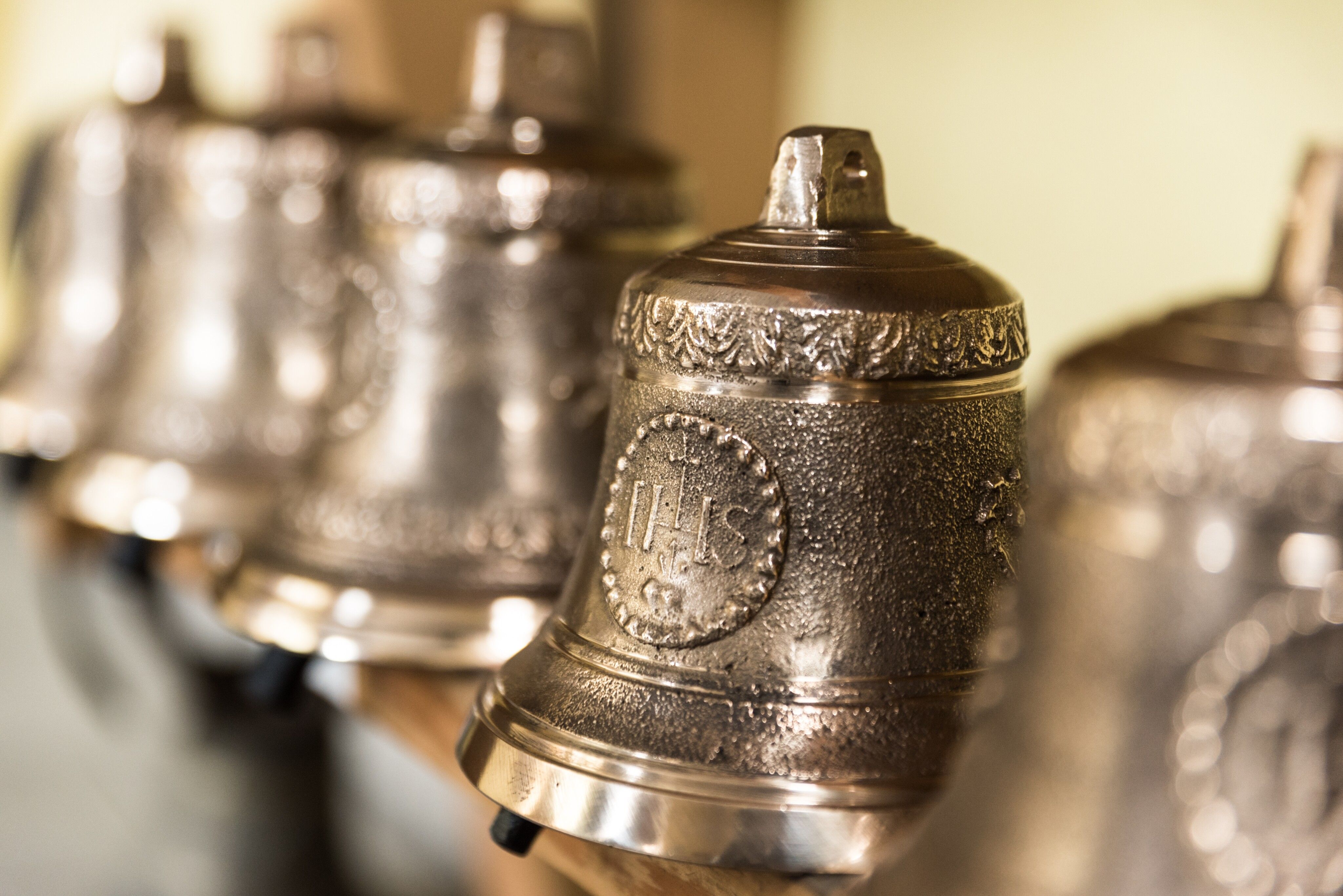
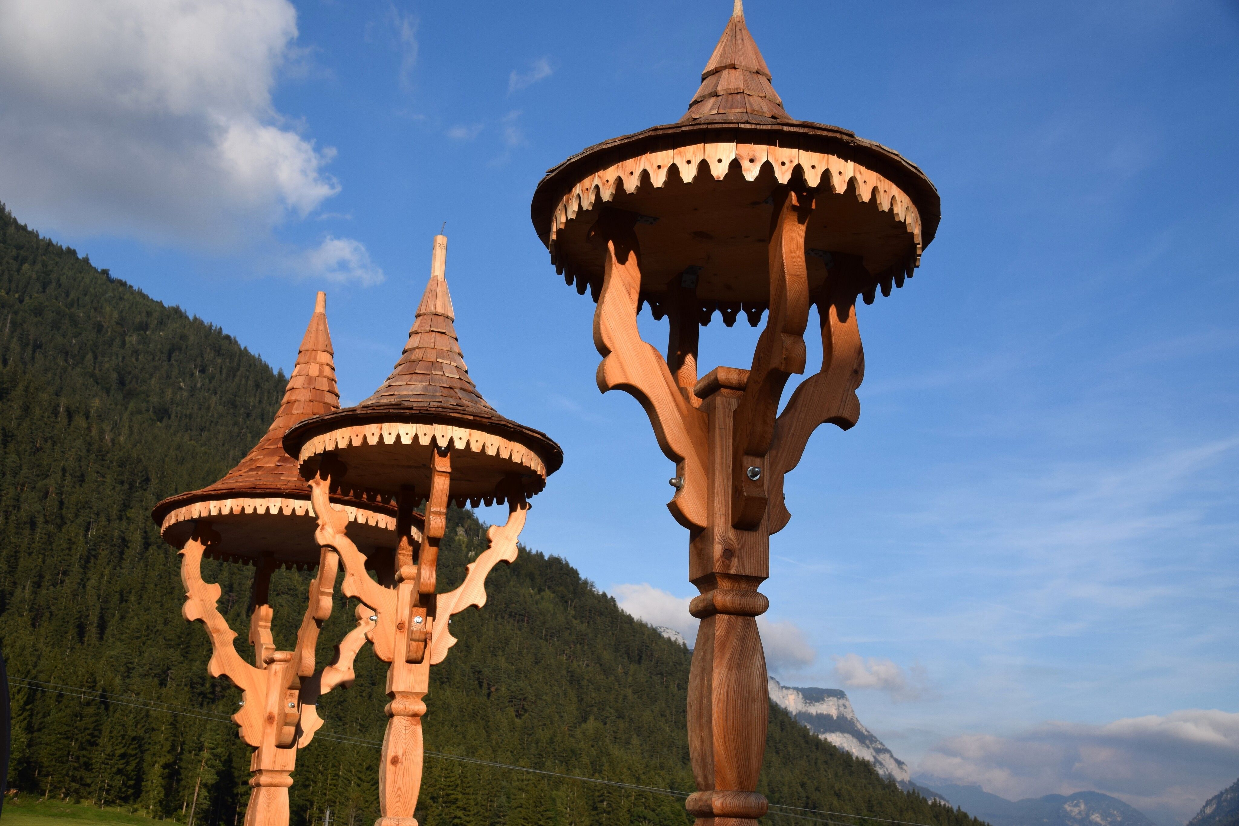
Discover the fascinating history of Waidring's bell founders and their unique bell-founding heritage.
Tour information

  • Requirement: easy
  • Length: 1.0 km
  • Duration: 1:00 h
  • Elevation uphill:0 hm
  • Elevation downhill:0 hm
Highest point780 m

Starting point

Glockenwelt Waidring

Finishing point

Village fountain
  • Fitness level 1 / 6
  • Technique 1 / 6

Best time of year

  • January
  • February
  • March
  • April
  • May
  • June
  • July
  • August
  • September
  • October
  • November
  • December

Equipment

comfortable clothing, mobile phone, camera
Source: Kitzbüheler Alpen Management GmbH

Description

At the various stops, visitors learn about the history of bell founding, the unique features of Waidring's bell foundries, and many interesting anecdotes. The historic bell founder's house, where the first Lugmair bell was cast in 1870, is naturally an essential part of the tour. Equally noteworthy is Waidring Parish Church, which is well known among bell enthusiasts for its impressive peal of five bells.

Getting here

  • Arrival by public transport

    By bus: Bus connection from Ellmau / Kitzbühel / St. Johann i.T. / Lofer and within the PillerseeTal region. Waidring gondola stop. Bus free of charge with guest card

  • Parking

    Coming from Fieberbrunn or St. Ulrich a.P. via the L2 Pillerseestraße, coming from St. Johann in Tirol via the B178 Loferer Bundesstraße to Waidring.
    Parking Bergbahn Steinplatte

Weather

Today

clear sky
10°C/0°C
0%0l10 km/h

Fri

clear sky
8°C/-1°C
5%0l5 km/h

Sat

clear sky
7°C/0°C
10%0l5 km/h
Go to weather forecast

More tours in the surrounding area

  • Kaiserkrone - stage 5

    Difficulty:medium
    Length:10.8 kmDuration:5:15 hElevation uphill:880 m
  • Kaiserkrone - stage 4

    Difficulty:medium
    Length:16.1 kmDuration:6:30 hElevation uphill:640 m
  • Koasa Trail Stage 4

    Difficulty:medium
    Length:20.6 kmDuration:7:35 hElevation uphill:923 m
  • Koasa Trail Stage 1

    Difficulty:medium
    Length:16.9 kmDuration:6:45 hElevation uphill:937 m
  • Koasa Trail Stage 3

    Difficulty:medium
    Length:19.9 kmDuration:7:10 hElevation uphill:730 m
  • Koasa Trail Stage 5

    Difficulty:medium
    Length:14.0 kmDuration:6:45 hElevation uphill:935 m
  • Koasa Trail Stage 2

    Difficulty:medium
    Length:11.8 kmDuration:7:15 hElevation uphill:1,078 m
  • Alpine Outdoor Gallery

    Difficulty:easy
    Length:6.7 kmDuration:2:00 hElevation uphill:117 m
  • Eifersbacher Wasserfall

    Difficulty:medium
    Length:5.9 kmDuration:2:30 hElevation uphill:241 m
  • The Wiegalm

    Difficulty:medium
    Length:10.5 kmDuration:4:45 hElevation uphill:680 m
  • Brechhorn

    Difficulty:medium
    Length:11.8 kmDuration:5:00 hElevation uphill:600 m
  • Teufelsgasse - "Devil's Lane"

    Difficulty:medium
    Length:7.6 kmDuration:3:00 hElevation uphill:343 m
  • Bichlachrunde

    Difficulty:easy
    Length:10.5 kmDuration:3:30 hElevation uphill:295 m
  • Möslalmkogel via Wörgl

    Difficulty:medium
    Length:10.3 kmDuration:3:30 hElevation uphill:580 m
Newsletter

The mountain is calling? So does our newsletter!

In our monthly newsletter we reveal the best holiday tips for Tyrol.