
Place:Hochsölden
:Restaurant
HOCHSÖLDEN -> GRIESKOGL


For dizzy-proof, sure-footed, and highly experienced alpine mountaineers; excellent physical condition, comprehensive mountain experience, alpine climbing equipment, safety and orientation devices, good weather conditions recommended.Please observe the current weather report at: www.oetztal.com/de/sommer.html
Wearing hiking equipment such as breathable and weather-appropriate outdoor clothing, ankle-high hiking boots, wind, rain, and sun protection, a hat, and possibly gloves is recommended! It is also important to carry sufficient provisions as well as a first-aid kit, a mobile phone, and possibly a hiking map.
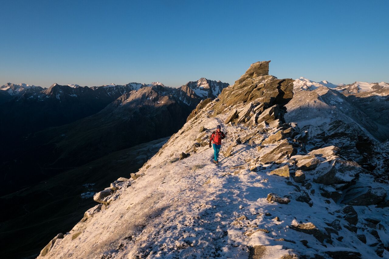
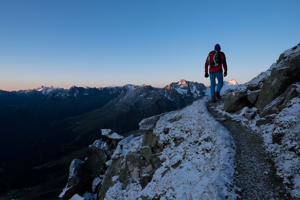
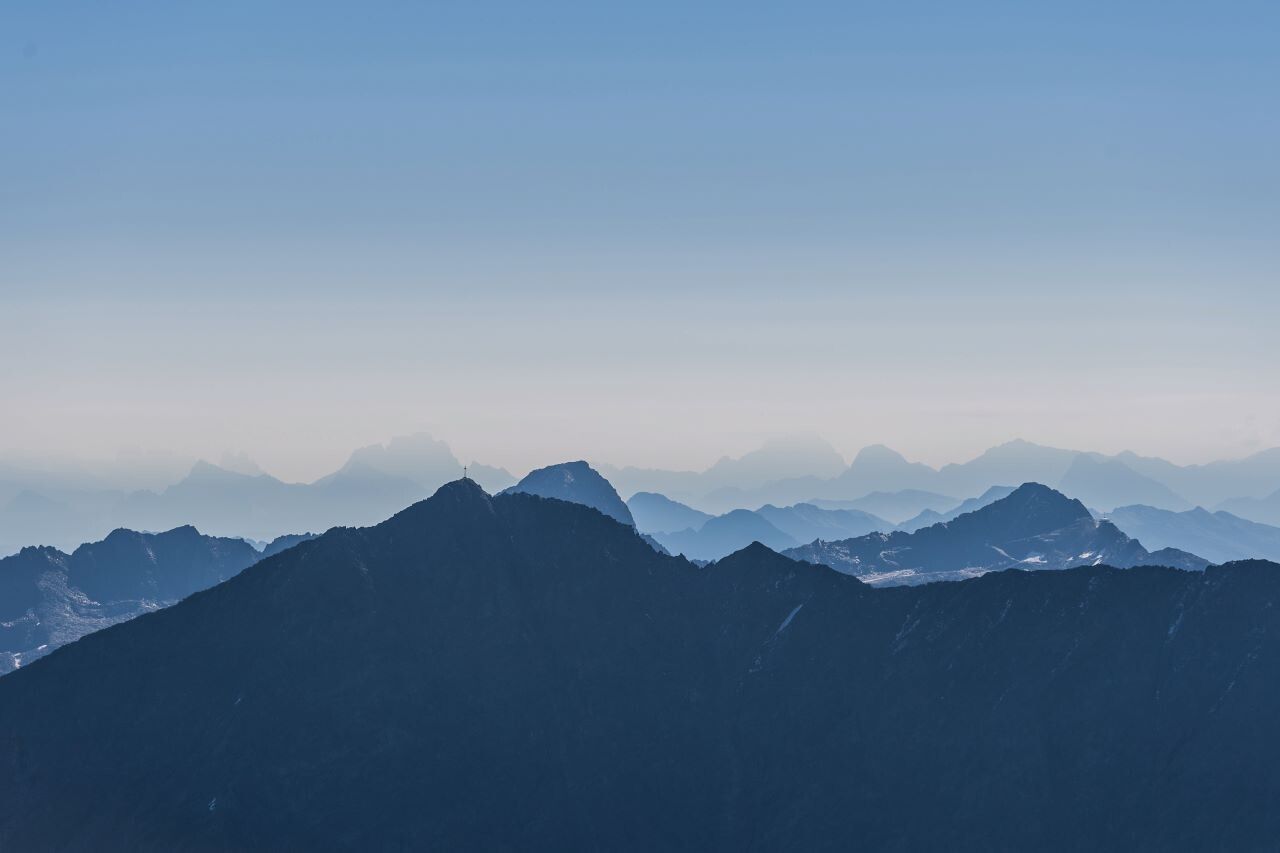
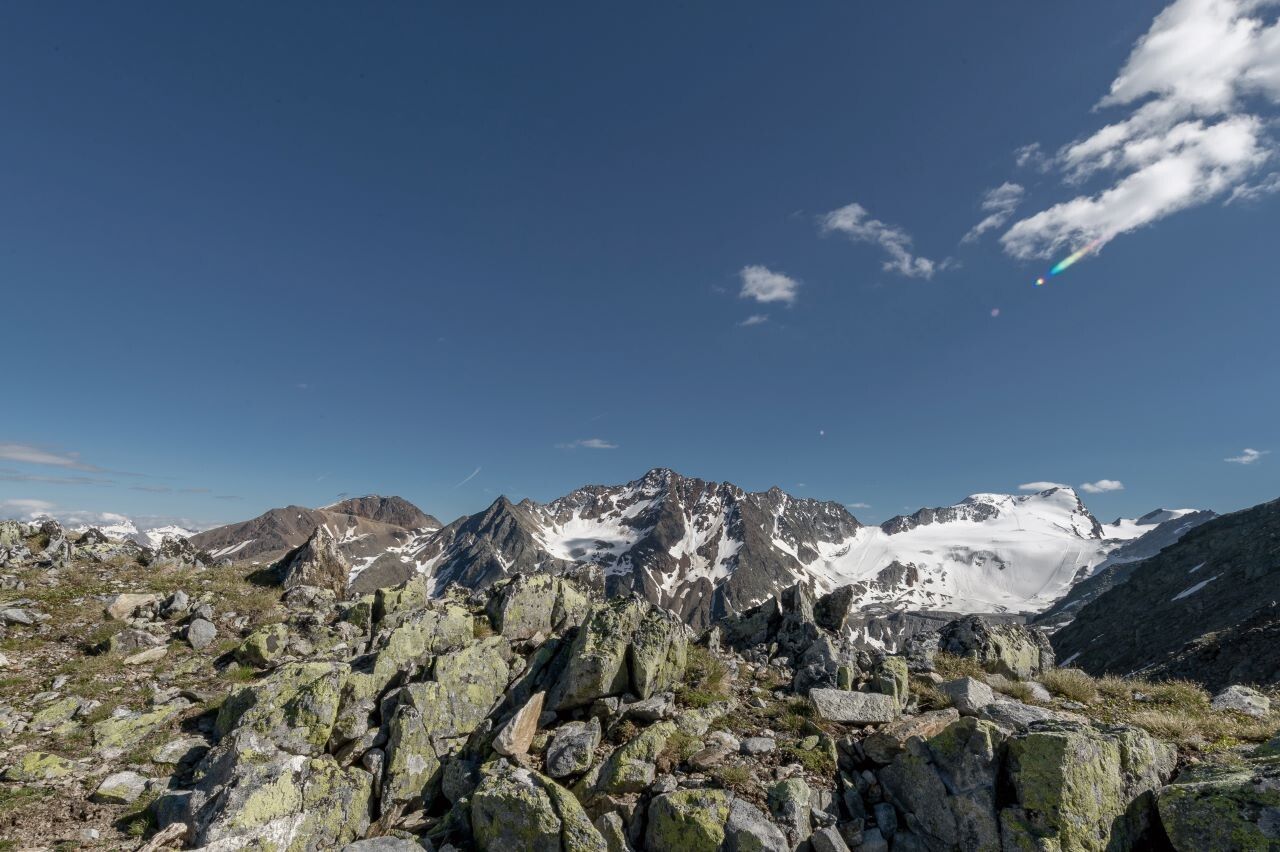
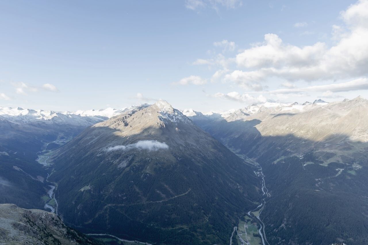
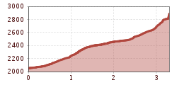
A fascinating panoramic summit view over the Ötztal near Sölden and the wild romantic Pollestal with the glaciated Hohe Geige in Tyrol is gained by ascending the Grieskogel (2,911 m). Starting from Hochsölden, you reach the summit through moderately difficult alpine terrain in about 2:30 h.This scenic summit hike starts in Hochsölden and first uses the gravel path towards the Rotkogl mountain station. Then it continues on a narrower path to the north.At first partly through alpine and later also over gravelly terrain, the last section before the summit overcomes a small rock step (secured here with steel cables).
Besides the beautiful view from the Grieskogel summit (2,911 m) to the Hohe Geige or the Daunkögel, one can also spot chamois or ibex here and there in the Pollestal with some luck.This route has several options from the starting point: Option 1: from Hochsölden (2,070 m) it takes about 2:30 h to the summit, Option 2: if you use the Rotkogl gondola, it takes 1:45 h,Option 3: for the very fit from Sölden (1,370 m) you must reckon with a 4:30 h ascent.
Travel comfortably and safely by train to the Ötztal train station. The final stop or exit point is the ÖTZTAL station. Afterwards, you can conveniently and quickly travel by public bus services or local taxi companies through the entire valley to your desired destination. The current bus schedule is available at: fahrplan.vvt.at
The following parking options are available in Sölden:
The parking spaces in Sölden are subject to a charge.
For parking over several days (e.g., hut tours):


.jpg")


.jpg")


.jpg")


