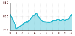
Mountain hikes Gurgltal

Imst / Wetterstein-Gebirge and Mieminger Kette
Difficulty ratings: easy
Route length: 10.1 km
Duration: 2:45 h

The nice valley hike at the foot of Tschirgant, offers many resting places and sights worth seeing.

Tour information

  • Requirement: easy
  • Length: 10.1 km
  • Duration: 2:45 h
  • Elevation uphill:72 hm
  • Elevation downhill:77 hm
Highest point815 m

Starting point

Biegerweg

Finishing point

Bigerweg
  • Fitness level 2 / 6
  • Technique 1 / 6

Features

  • Circular route
  • Suitable for families
  • suitable for pushchairs

Trail condition

mainly asphalt and gravel

Equipment

good shoes and enough liquid
Source: Imst Tourismus

Description

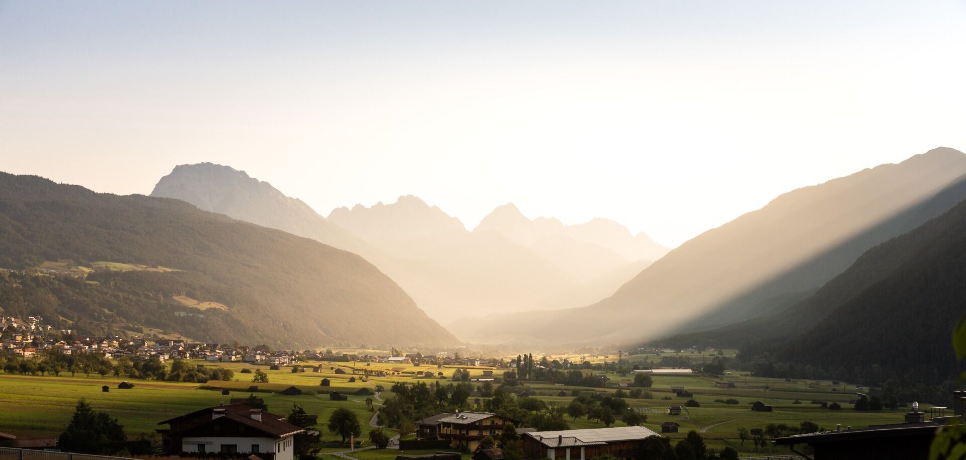
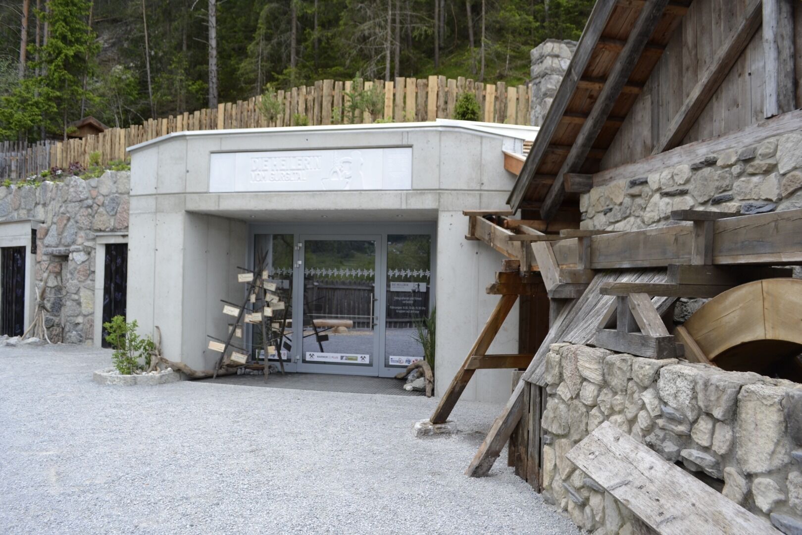
The circular hike starts at the Bigerweg in Imst, here you head towards Tarrenz past the Knappenwelt and Happis Hütte. Continue hiking to the "Kneipanlage Heilquelle Frauenbrunnen" and Strad. Past the "Gurglbach Stausee" to the witches' playground and finally back to Imst.

More tours in the surrounding area

Newsletter

The mountain is calling? So does our newsletter!

In our monthly newsletter we reveal the best holiday tips for Tyrol.