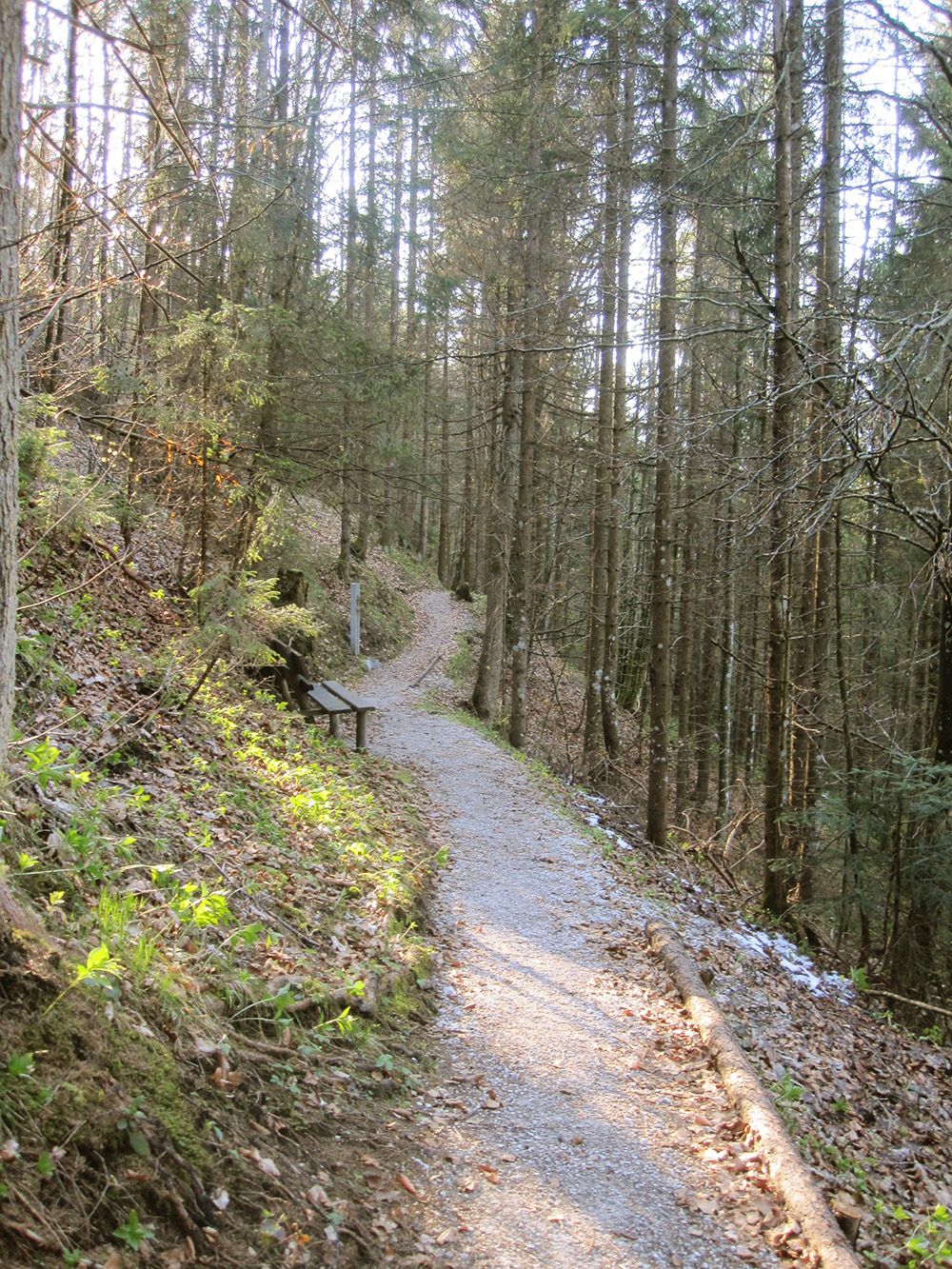
Mountain hikes Hackenschmiede - Schäferaukapelle - Kneippanlage

Waidring / Lofer Stone Mountains
Difficulty ratings: easy
Route length: 6.5 km
Duration: 1:45 h

Tour information

  • Requirement: easy
  • Length: 6.5 km
  • Duration: 1:45 h
  • Elevation uphill:50 hm
  • Elevation downhill:0 hm
Highest point822 m

Starting point

Village center Waidring

Finishing point

Village center Waidring
  • Fitness level 1 / 6
  • Technique 1 / 6

Features

  • Circular route
  • Suitable for families

Best time of year

  • January
  • February
  • March
  • April
  • May
  • June
  • July
  • August
  • September
  • October
  • November
  • December

Trail condition

Asphalt, gravel

Equipment

Breathable outdoor clothing, sturdy shoes, food (snack, drinks), sun protection (sunglasses, sunscreen & cap), rain protection, cash; guest card if bus is used.
Source: Kitzbüheler Alpen Management GmbH

Description

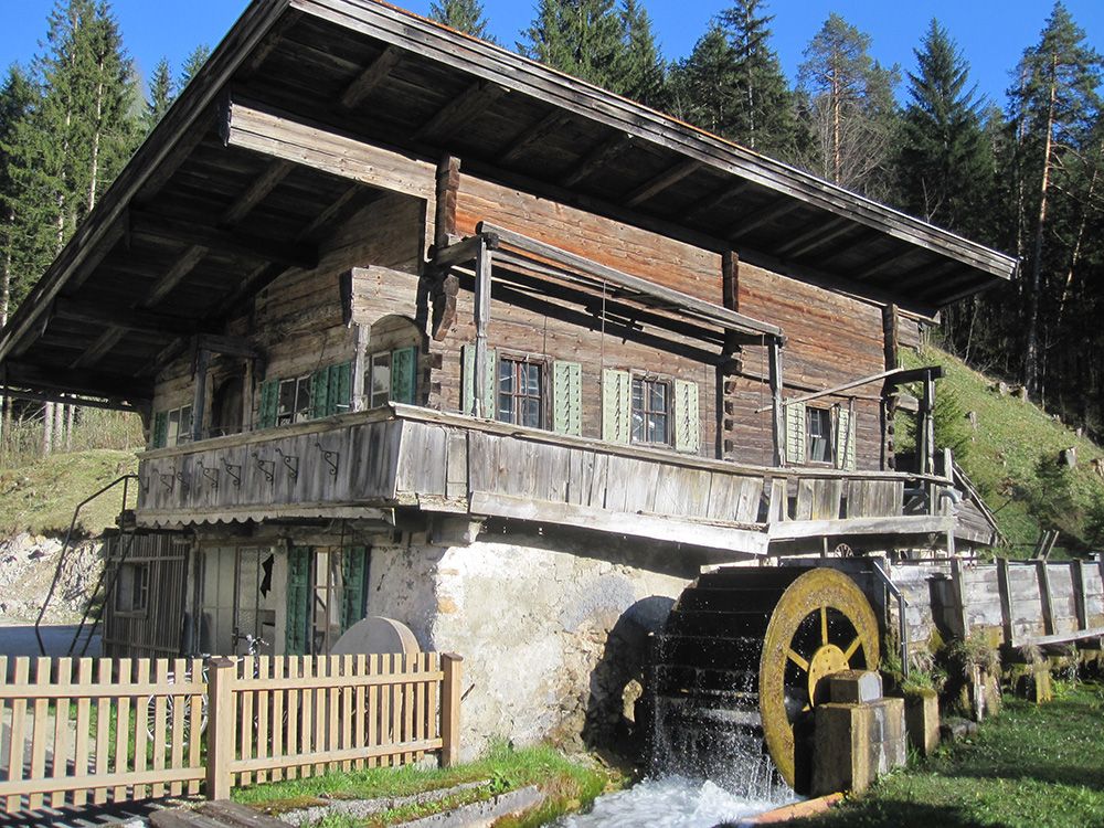
From the village centre / municipal office, walk along the pavement in the direction of Pillersee. Turn left into the Achenweg and walk along it to the mill wheel of the old Hackenschmiede. Walk along the "Pfarrersteigl" (Way of the Cross) to the Schäferau Chapel, from there to the Seisenbachquelle Kneipp facility (rest area, playground, Steinbergkönig station) and back to the village centre via the Unterwasser district.

Getting here

  • Arrival by public transport

    By bus: Bus connection from Ellmau / Kitzbühel / St. Johann i.T. / Lofer and within the Pillerseetal region. Bus stop Waidring Gemeindeamt. Bus free of charge with guest card.
  • Parking

    Coming from Fieberbrunn or St. Ulrich a.P. via the L2 Pillerseestraße, coming from St. Johann in Tirol via the B178 Loferer Bundesstraße to Waidring.
    Hausberg car park (behind the municipal office).

Weather

Today

clear sky
10°C/0°C
0%0l10 km/h

Fri

clear sky
8°C/-1°C
5%0l5 km/h

Sat

clear sky
7°C/0°C
10%0l5 km/h
Go to weather forecast

More tours in the surrounding area

  • Kaiserkrone - stage 5

    Difficulty:medium
    Length:10.8 kmDuration:5:15 hElevation uphill:880 m
  • Kaiserkrone - stage 4

    Difficulty:medium
    Length:16.1 kmDuration:6:30 hElevation uphill:640 m
  • Koasa Trail Stage 4

    Difficulty:medium
    Length:20.6 kmDuration:7:35 hElevation uphill:923 m
  • Koasa Trail Stage 1

    Difficulty:medium
    Length:16.9 kmDuration:6:45 hElevation uphill:937 m
  • Koasa Trail Stage 3

    Difficulty:medium
    Length:19.9 kmDuration:7:10 hElevation uphill:730 m
  • Koasa Trail Stage 5

    Difficulty:medium
    Length:14.0 kmDuration:6:45 hElevation uphill:935 m
  • Koasa Trail Stage 2

    Difficulty:medium
    Length:11.8 kmDuration:7:15 hElevation uphill:1,078 m
  • Alpine Outdoor Gallery

    Difficulty:easy
    Length:6.7 kmDuration:2:00 hElevation uphill:117 m
  • Eifersbacher Wasserfall

    Difficulty:medium
    Length:5.9 kmDuration:2:30 hElevation uphill:241 m
  • The Wiegalm

    Difficulty:medium
    Length:10.5 kmDuration:4:45 hElevation uphill:680 m
  • Brechhorn

    Difficulty:medium
    Length:11.8 kmDuration:5:00 hElevation uphill:600 m
  • Teufelsgasse - "Devil's Lane"

    Difficulty:medium
    Length:7.6 kmDuration:3:00 hElevation uphill:343 m
  • Bichlachrunde

    Difficulty:easy
    Length:10.5 kmDuration:3:30 hElevation uphill:295 m
  • Möslalmkogel via Wörgl

    Difficulty:medium
    Length:10.3 kmDuration:3:30 hElevation uphill:580 m
Newsletter

The mountain is calling? So does our newsletter!

In our monthly newsletter we reveal the best holiday tips for Tyrol.