Hut hike Hike to the Hundalm Eis- und Tropfsteinhöhle

Angerberg / Brandenberg Alps (Rofan)
Difficulty ratings: medium
Route length: 13.7 km
Duration: 5:30 h

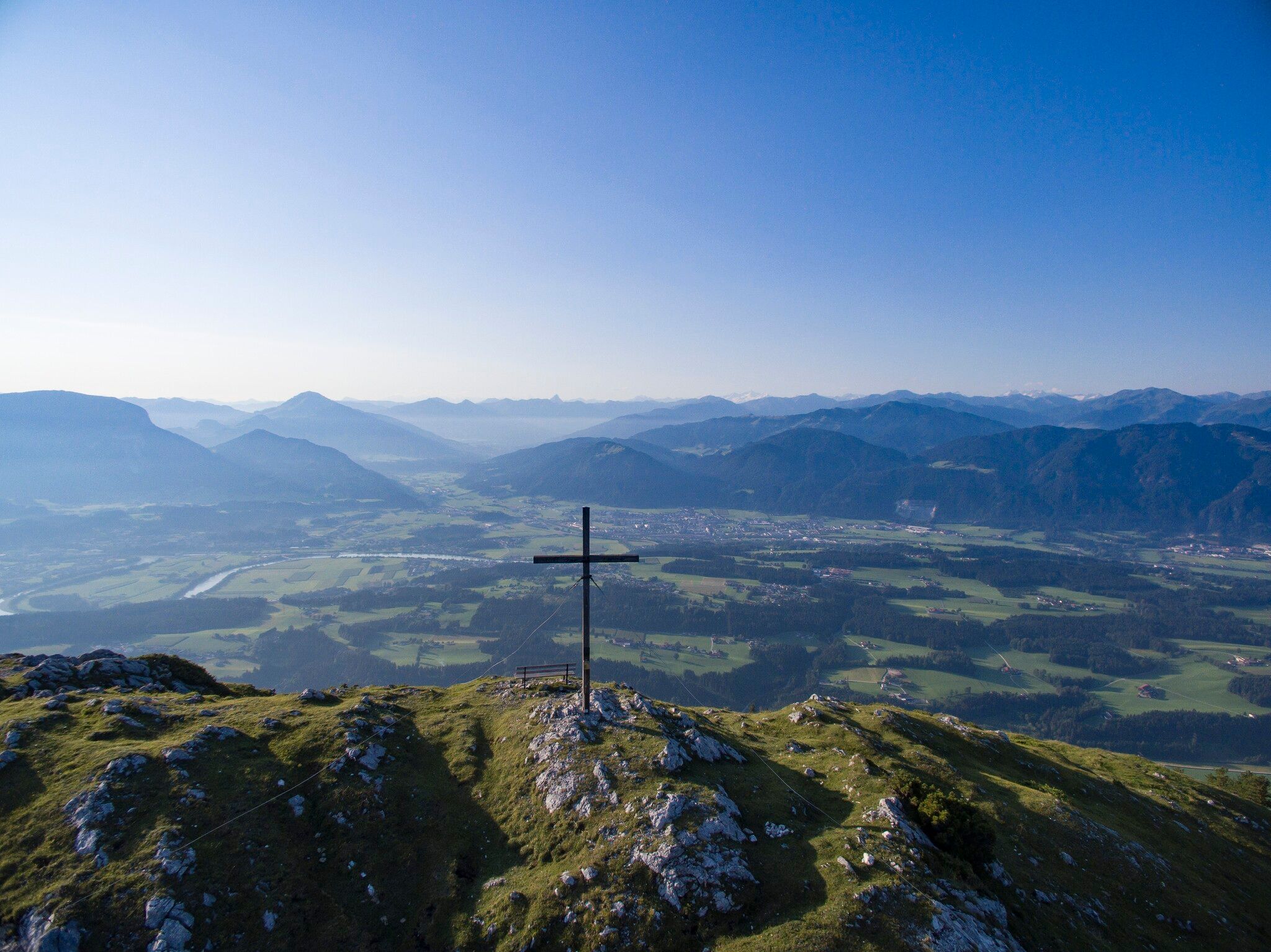
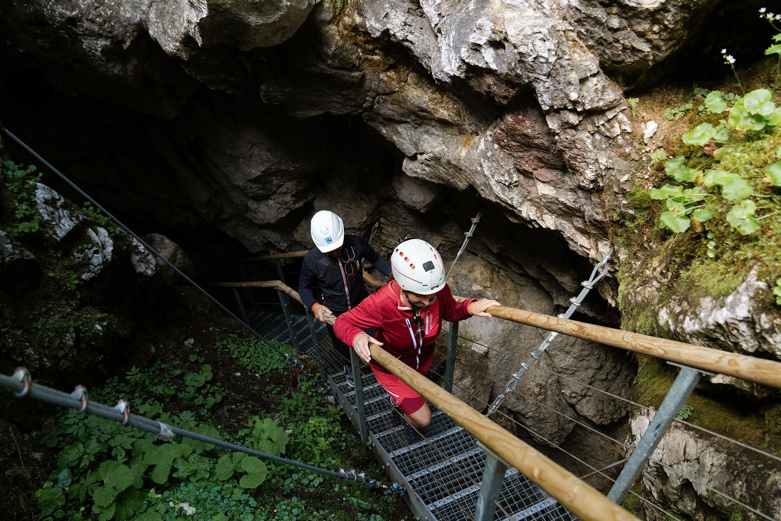
Experience a varied hike via the cozy Buchackeralm and the scenic Adlerhorst to the fascinating Hundalm Eis- und Tropfsteinhöhle, where unique natural wonders await you amidst the Tyrolean mountains!
Tour information

  • Requirement: medium
  • Length: 13.7 km
  • Duration: 5:30 h
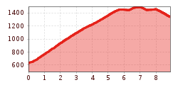
  • Elevation uphill:893 hm
  • Elevation downhill:897 hm
Highest point1,495 m

Starting point

Parkplatz Buchackeraufstieg/Lettenbichl

Finishing point

Parkplatz Buchackeraufstieg/Lettenbichl
  • Fitness level 4 / 6
  • Technique 2 / 6

Best time of year

  • January
  • February
  • March
  • April
  • May
  • June
  • July
  • August
  • September
  • October
  • November
  • December

Trail condition

Forest track, woodland path

Equipment

Outdoor clothing
sturdy footwear
sufficient food and drinks
first aid kit mobile phone with full battery & charger
hiking map & guidebooks
possibly a GPS device or download the GPS data to your phone
sun protection (sunglasses, sunscreen & cap)
rain protection cash
Source: Kitzbüheler Alpen Management GmbH

Description

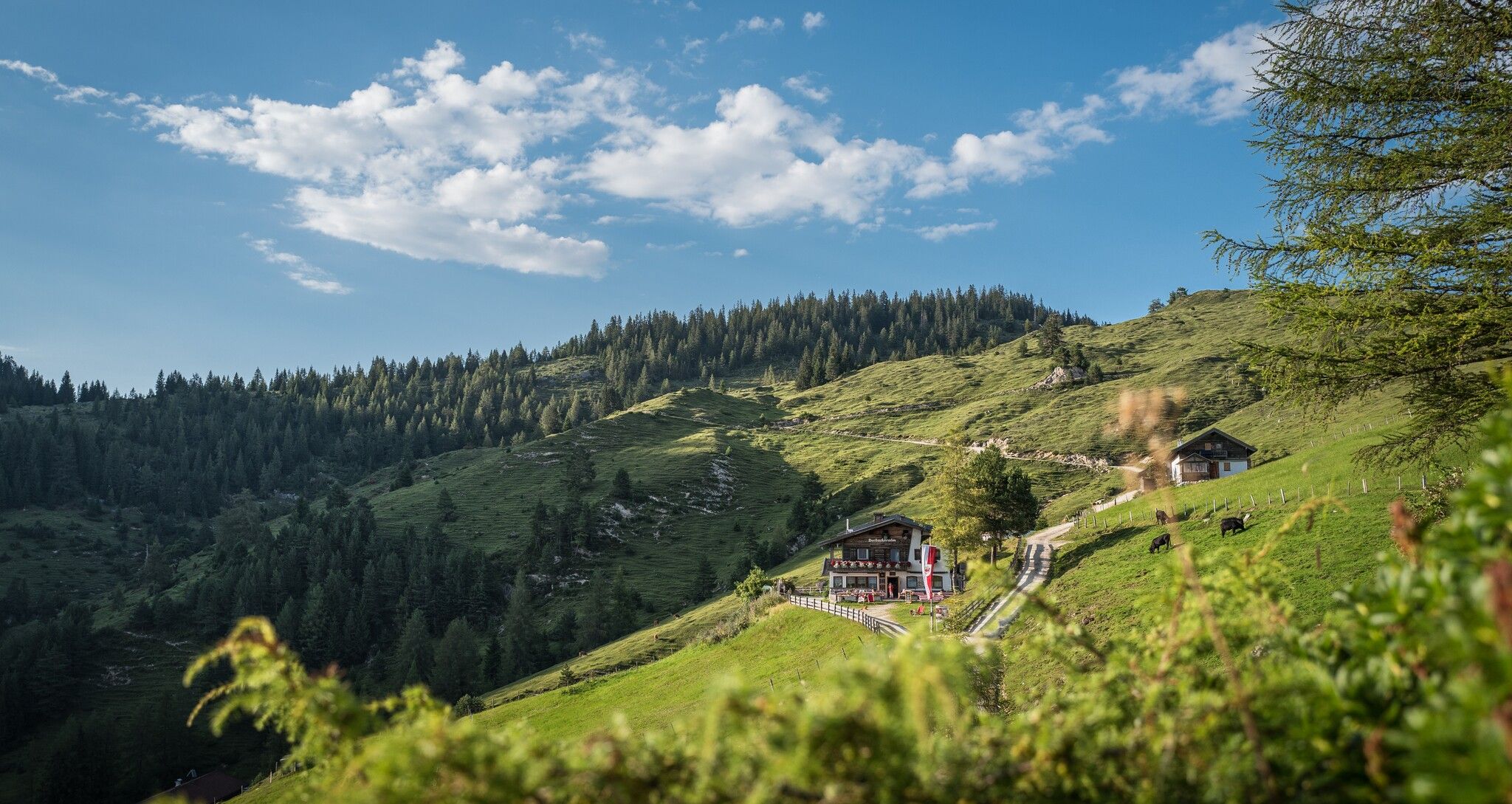
The starting point of this hike is the Buchackeraufsteig/Lettenbichl car park in the Embach district of Angerberg. From there, a well-maintained forest road leads uphill in several serpentines. After about 2 to 2.5 hours, you reach the cozy Buchackeralm - the first rest and stage point of the tour. 
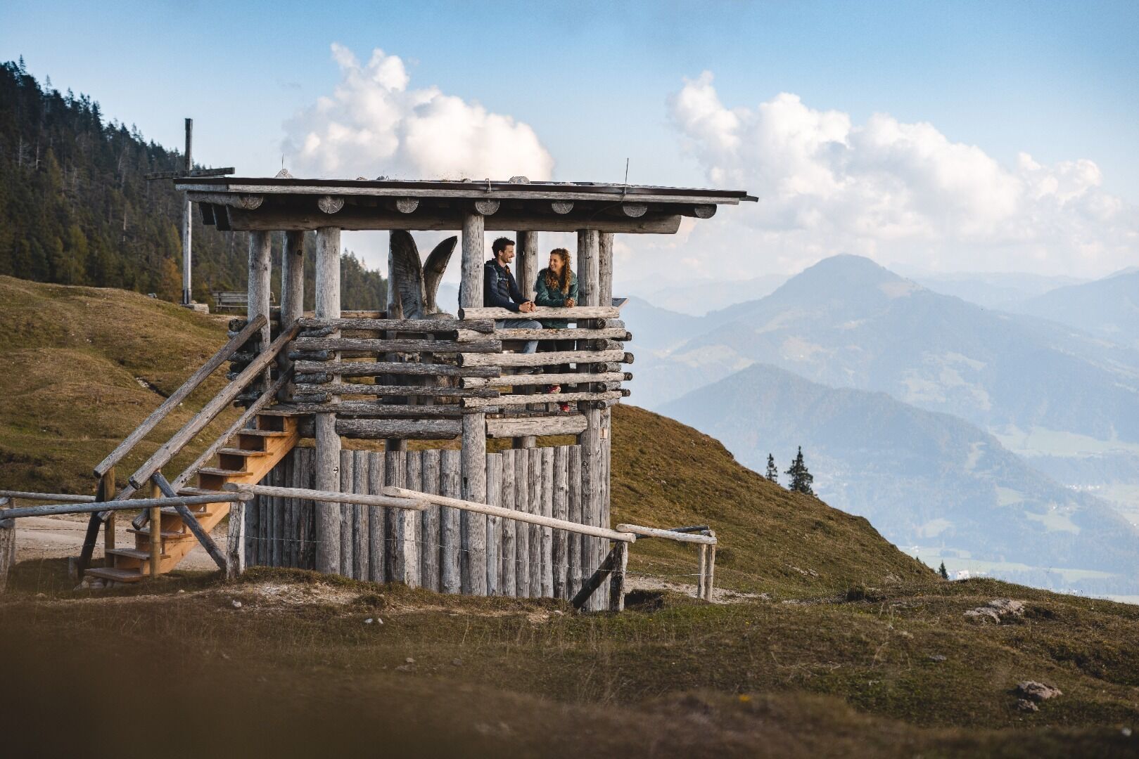
From the alpine pasture, follow the markings of the Tiroler Adlerweg further to the impressive Adlerhorst, a viewing platform with a magnificent panoramic view. Afterwards, an idyllic forest and meadow path leads to the entrance of the ice and dripstone cave. 
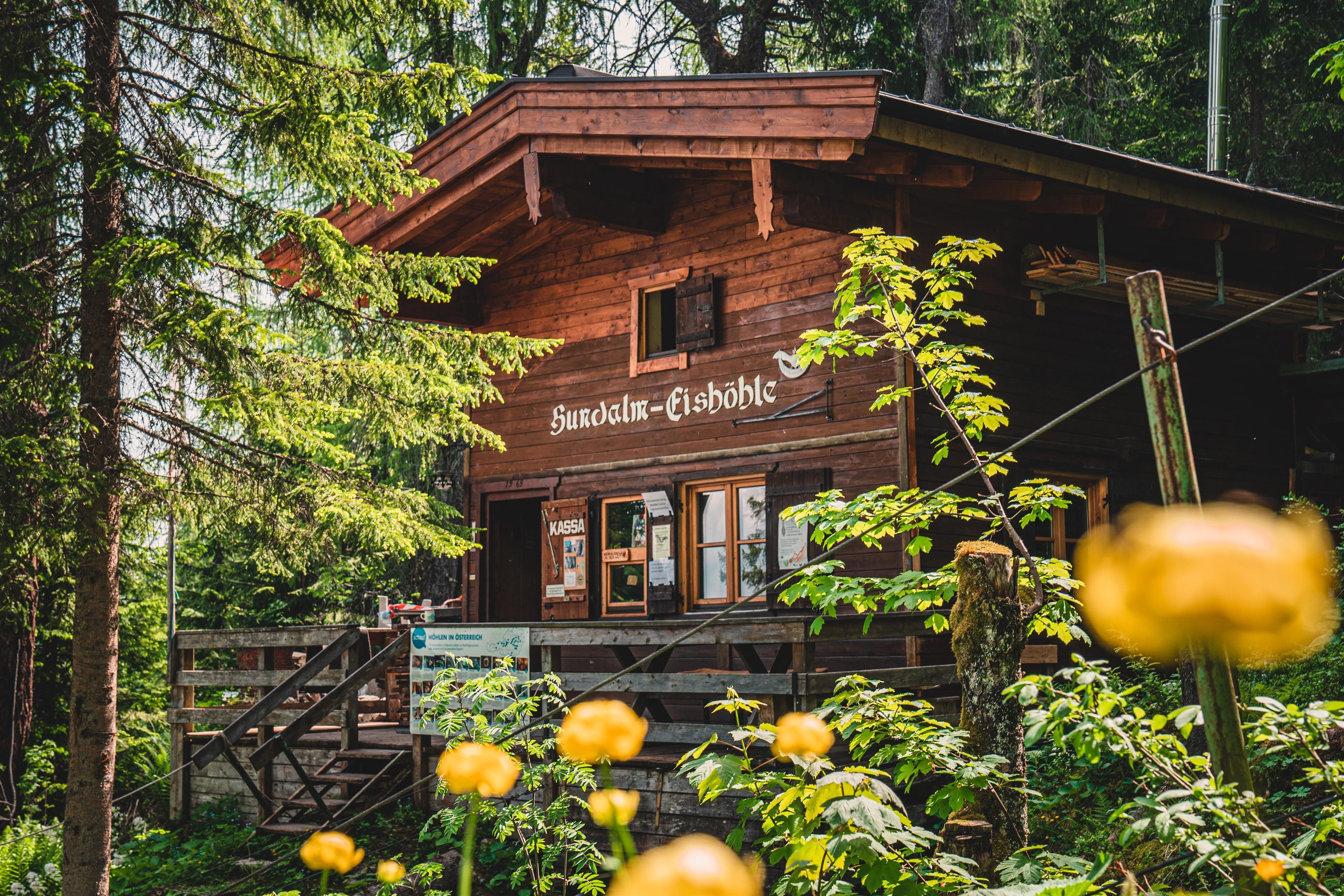
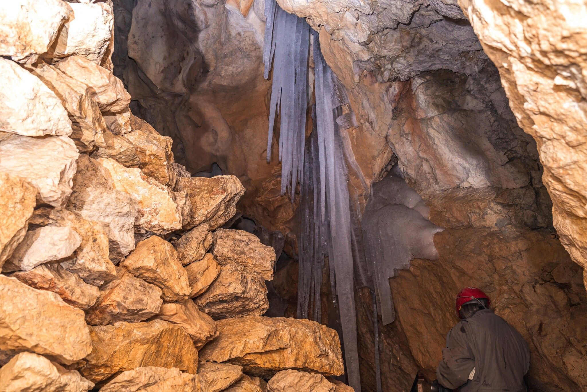
The cave at the Hundalmjoch is the only show cave in the North Tyrolean Alps where ice and dripstone formations can be seen. Please note the opening hours and guided tour times.
All further information about the Hundalm Eis- und Tropfsteinhöhle: www.hohe-salve.com/eishoehle
To return to the starting point, follow the same path used for the ascent.

Nearby huts and mountain restaurants

Getting here

  • Arrival by public transport

    Bus: Angerberg Franzlerbrücke

    Regional guest card = Train ticket from Wörgl to Hochfilzen  + Bus ticket from Mariastein to Kitzbühel included
    Valid on ÖBB local trains (S, REX) and InterRegio trains (IR) between Kirchbichl - Wörgl and Hochfilzen
    Not valid on RJ, RJX, EC, IC, ICE, D and NJ/EN trains


    More detailed information at: www.hohe-salve.com/mobility


  • Parking

    Parkplatz Buchackeraufstieg Angerberg

    Coming from Innsbruck/Munich:
    A12 exit Kirchbichl – at the junction turn left onto Kirchbichler Straße – at the roundabout take the 3rd exit towards Mariastein – follow for approx. 6km – 50 m after Hotel Kraftquelle Schlossblick turn right – follow signs to the destination.
    Coming from Kitzbühel: On B170 Brixentalstraße towards Wörgl – after Hopfgarten at the roundabout take the 2nd exit onto B178 towards Bruckhäusl - follow Loferer Straße until the junction right onto B171 – after 30 m turn left onto Europastraße towards Angerberg – follow Angerberger Landstraße for approx. 7 km – after passing through the village turn right onto Unterinntaler Landstraße towards Mariastein – 50m after Hotel Kraftquelle Schlossblick turn right - follow signs to the destination

Weather

Today

mainly clear
16°C/7°C
50%1.7l5 km/h

Sun

partly Cloudy
16°C/8°C
5%0l5 km/h

Mon

clear sky
16°C/8°C
0%0l5 km/h
Go to weather forecast

More tours in the surrounding area

  • Koasa Trail Stage 3

    Difficulty:medium
    Length:19.9 kmDuration:7:10 hElevation uphill:730 m
  • Koasa Trail Stage 5

    Difficulty:medium
    Length:14.0 kmDuration:6:45 hElevation uphill:935 m
  • Koasa Trail Stage 1

    Difficulty:medium
    Length:16.9 kmDuration:6:45 hElevation uphill:937 m
  • Kaiserkrone - stage 5

    Difficulty:medium
    Length:10.8 kmDuration:5:15 hElevation uphill:840 m
  • Kaiserkrone - stage 4

    Difficulty:medium
    Length:16.1 kmDuration:6:30 hElevation uphill:640 m
  • Koasa Trail Stage 4

    Difficulty:medium
    Length:20.6 kmDuration:7:35 hElevation uphill:923 m
  • Alpine Outdoor Gallery

    Difficulty:easy
    Length:6.7 kmDuration:2:00 hElevation uphill:117 m
  • Koasa Trail Stage 2

    Difficulty:medium
    Length:11.8 kmDuration:7:15 hElevation uphill:1,078 m
  • Eifersbacher Wasserfall

    Difficulty:medium
    Length:5.9 kmDuration:2:30 hElevation uphill:241 m
  • The Wiegalm

    Difficulty:medium
    Length:10.5 kmDuration:4:45 hElevation uphill:680 m
  • Angerer Alm

    Difficulty:medium
    Length:5.7 kmDuration:2:45 hElevation uphill:652 m
  • Koasa Trail

    Difficulty:medium
    Length:83.0 kmDuration:5 daysElevation uphill:4,700 m
  • Adolari Round

    Difficulty:easy
    Length:8.2 kmDuration:2:30 hElevation uphill:70 m
Newsletter

The mountain is calling? So does our newsletter!

In our monthly newsletter we reveal the best holiday tips for Tyrol.