Mountain hikes Hike to the Stanser Joch

Stans / Karwendel
Difficulty ratings: difficult
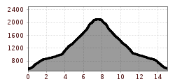
Route length: 15.0 km
Duration: 10:00 h

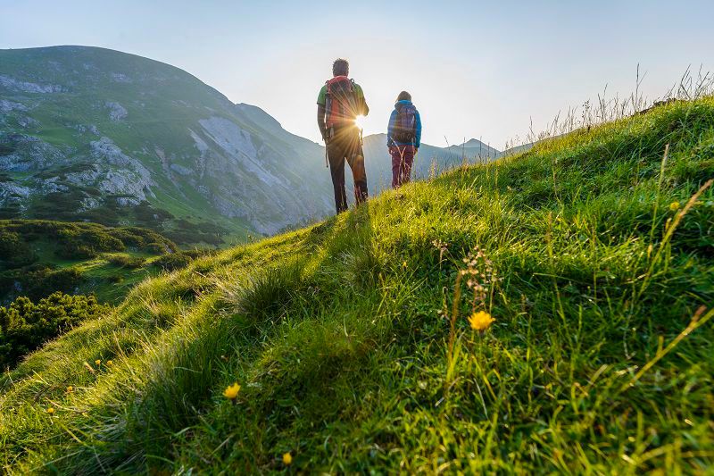
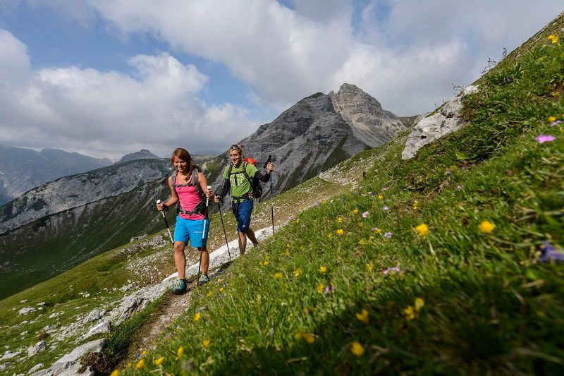
A challenging hike offering stunning views of the main Alpine ridge, with its glaciers, and Lake Achensee to the north.
Tour information

  • Requirement: difficult
  • Length: 15.0 km
  • Duration: 10:00 h
  • Elevation uphill:1,530 hm
  • Elevation downhill:1,525 hm
Highest point2,098 m

Starting point

Car park Laurentiuskirche church, Stans

Finishing point

Stanser Joch
  • Fitness level 5 / 6
  • Technique 3 / 6

Best time of year

  • January
  • February
  • March
  • April
  • May
  • June
  • July
  • August
  • September
  • October
  • November
  • December

Trail condition

The route starts on a tarmac road, then turns into a steep, partly rocky footpath (or alternatively a forest track)

Equipment

  • Sturdy footwear
  • Rainwear/sun protection
  • Plenty of drinking water/snacks
Source: TVB Silberregion Karwendel

Description

Once you reach the summit cross, your hard work and effort are rewarded with a magnificent view over the valley, the main Alpine ridge and Lake Achensee to the north.

Getting here

  • Arrival by public transport

    Train to Stans station – walk to the car park at Stans Laurentiuskirche
    You can find the bus timetables at www.smartride.vvt.at

  • Parking

     Car park at Laurentius Church, Stans

More tours in the surrounding area

Newsletter

The mountain is calling? So does our newsletter!

In our monthly newsletter we reveal the best holiday tips for Tyrol.