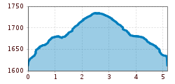
Mountain hikes Hoch Moor Pfad

open
Pfunds / Ötztal Alps
Difficulty ratings: easy
Route length: 5.2 km
Duration: 1:35 h

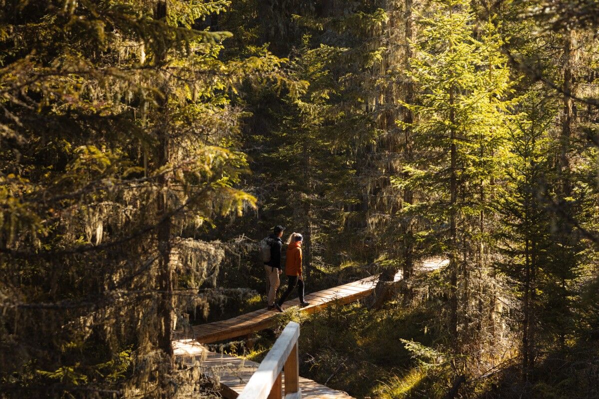
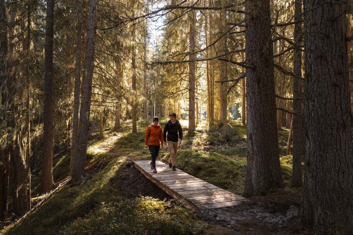
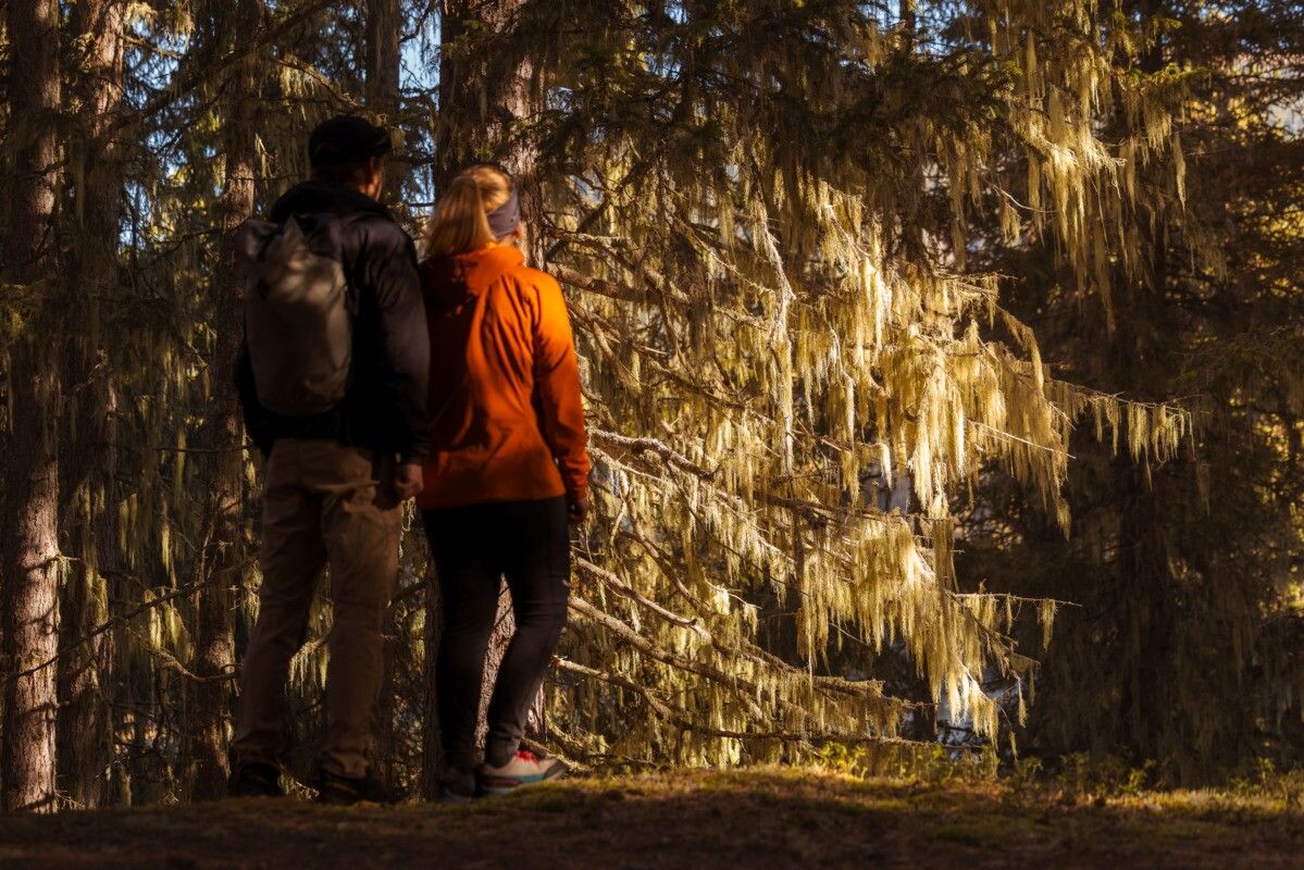
The new High Moor Trail combines fascinating insights into nature with peaceful spots to relax—creating a special experience in the heart of the landscape.
Tour information

  • Requirement: easy
  • Length: 5.2 km
  • Duration: 1:35 h
  • Elevation uphill:120 hm
  • Elevation downhill:119 hm
Highest point1,740 m

Starting point

Parking area Wildmoos | Pfunds

Finishing point

Parking area Wildmoos | Pfunds
  • Fitness level 2 / 6
  • Technique 2 / 6

Best time of year

  • January
  • February
  • March
  • April
  • May
  • June
  • July
  • August
  • September
  • October
  • November
  • December

Trail condition

Trail, Trail infrastructure

Equipment

We recommend equipment suitable for the tour and weather conditions, including sturdy shoes, weatherproof clothing, food, and appropriate maps.
Source: TVB Tiroler Oberland

Description

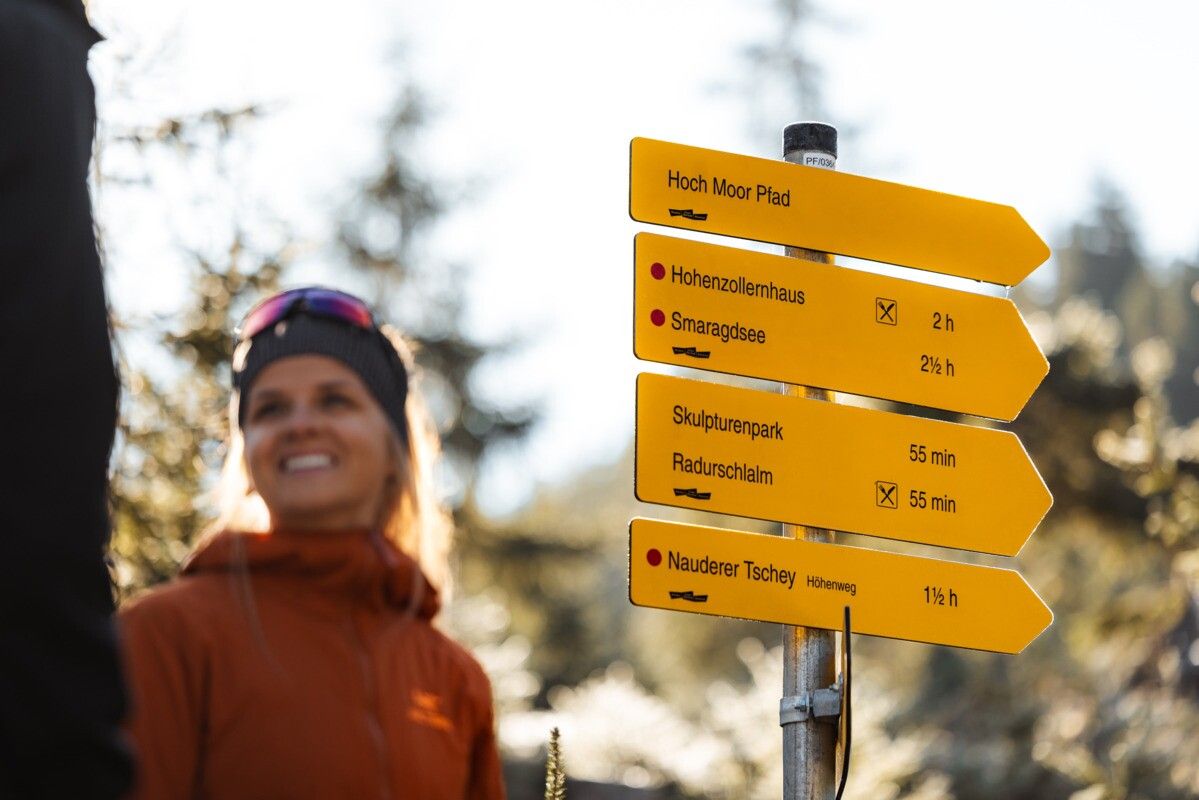
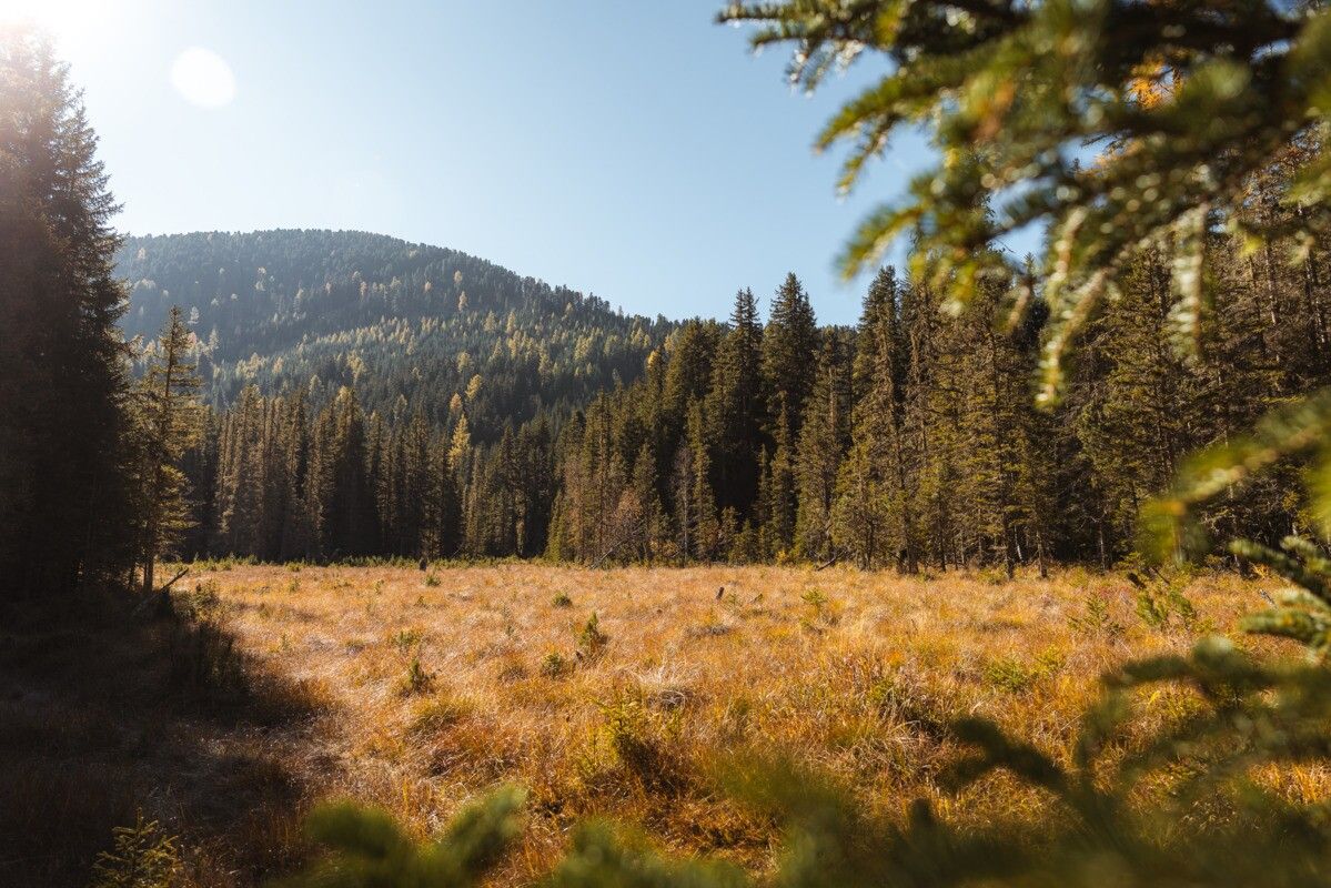
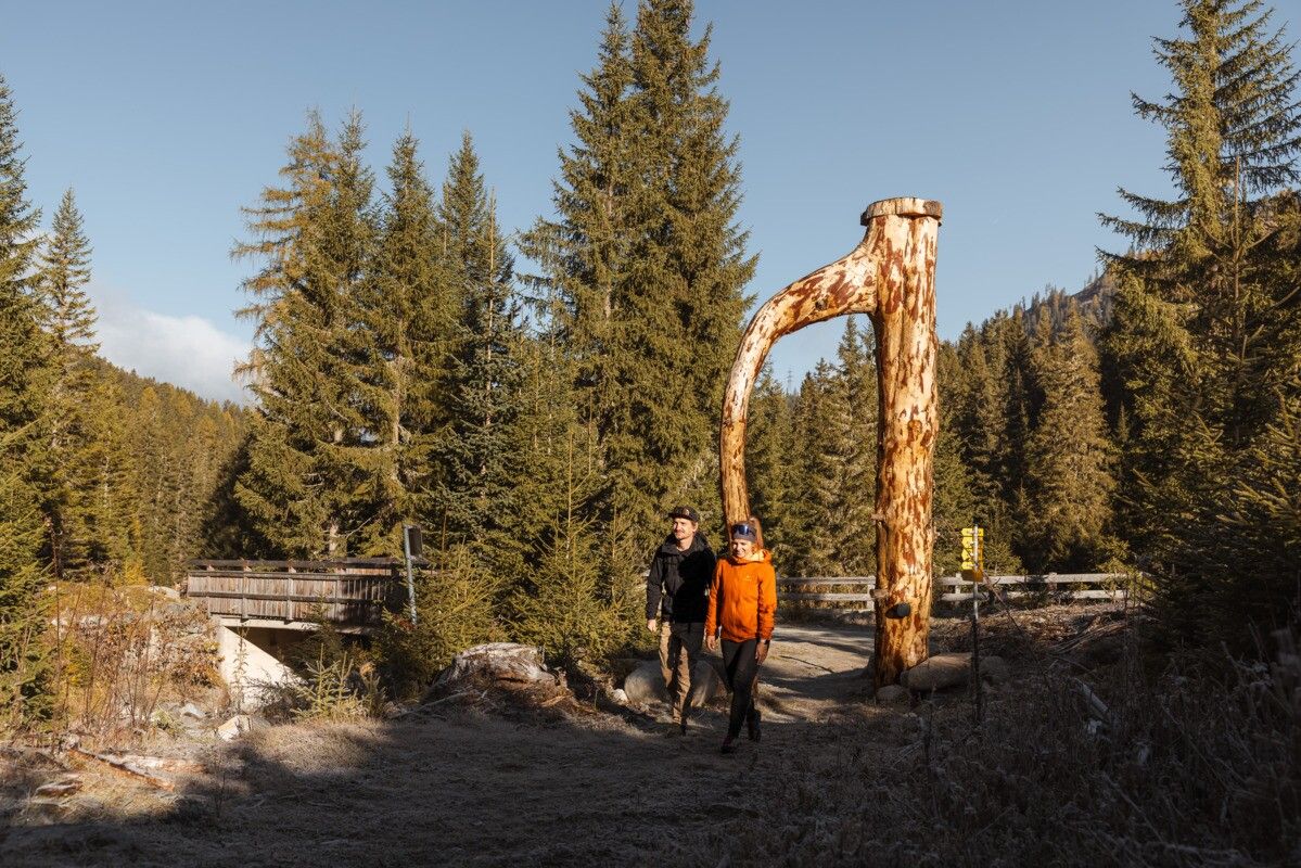
The High Moor Trail starts at the Wildmoos parking lot and leads to the Radurschlalm. This scenic path passes two fascinating raised bogs and features several themed stations along the way with bilingual information panels. An observation platform offers a great opportunity to enjoy the unique moor landscape from a different perspective and take in the surrounding nature.

Getting here

  • Arrival by public transport

    Tip: there is a hiking shuttle to the Radurschl every Tuesday.

  • Parking

    Parking area: Wildmoos, paid parking

    🅿️ New Parking Management System in the Radurschltal Valley
    Signage installation in the Radurschltal Valley has been completed. The following regulations are now in effect:


    🅿️ Parking Lots
    1. P🚗 Wildmoos – 60 parking spaces (main parking lot with ticket machine)
    2. P🚗 Schönboden – 25 parking spaces
    3. P🚗 Wasserschloss – 30 spaces (access by authorization card only)

    The authorization card is available exclusively to residents with primary residence in Pfunds at the Pfunds Municipal Office.

    💶 Parking Rates
    ⏱️ 4 hours: €4
    🕛 Day pass (until midnight): €6
    📅 Each additional day: 4 €
    🗓️ Maximum 1 week: 20 €

    🎫 The parking ticket can only be purchased at the ticket machine at the Wildmoos parking lot (cash or debit card). It is valid for the Wildmoos and Schönboden parking lots, but not for the Wasserschloss parking lot.

    ⚠️ The ticket must be displayed clearly behind the windshield. Inspections are conducted by the Austrian Federal Forests (ÖBF).

    ℹ️ Important: If you have questions about administrative penalties or fines you have received, please contact the Austrian Federal Forests directly. The municipality of Pfunds is solely responsible for issuing access permits.

Weather

Today

partly Cloudy
20°C/8°C
0%0l5 km/h

Tue

clear sky
18°C/6°C
0%0l5 km/h

Wed

clear sky
19°C/5°C
5%0l5 km/h
Go to weather forecast

More tours in the surrounding area

  • Großer Mutzkopf

    Opening hours:closed
    Difficulty:easy
    Length:10.3 kmDuration:4:00 hElevation uphill:507 m
  • Ötztal Trek Stage 15

    Difficulty:difficult
    Length:6.5 kmDuration:2:30 hElevation uphill:332 m
  • Sternenweg im Gepatsch

    Difficulty:medium
    Length:4.0 kmDuration:1:30 hElevation uphill:202 m
  • Rolli-Wanderung Aifner Alm

    Difficulty:medium
    Length:6.0 kmDuration:2:30 hElevation uphill:460 m
  • Rolli-Wanderung Nassereinalm

    Difficulty:medium
    Length:5.5 kmDuration:1:45 hElevation uphill:269 m
  • Rolli-Wanderung Gepatschhaus

    Length:8.5 kmDuration:1:45 hElevation uphill:156 m
  • Rolli-Wanderung Falkaunsalm

    Difficulty:medium
    Length:4.5 kmDuration:1:45 hElevation uphill:392 m
  • Talwanderweg Kaunertal

    Difficulty:easy
    Duration:2:30 hElevation uphill:295 m
  • Kaunerberger Wasserweg

    Opening hours:open
    Difficulty:medium
    Length:15.2 kmDuration:6:00 hElevation uphill:935 m
  • Gletscherlehrpfad Gepatschferner

    Difficulty:medium
    Length:8.4 kmDuration:3:45 hElevation uphill:400 m
  • Hohe Aifnerspitze (2.779 m)

    Difficulty:medium
    Length:7.2 kmDuration:5:15 hElevation uphill:815 m
  • Kapelle Maria Schnee

    Difficulty:easy
    Length:1.7 kmDuration:0:30 hElevation uphill:90 m
  • Radurschlklamm Gorge

    Opening hours:open
    Difficulty:medium
    Length:7.5 kmDuration:3:20 hElevation uphill:442 m
  • Rundwanderung Frudiger

    Difficulty:medium
    Length:13.5 kmDuration:4:55 hElevation uphill:588 m
  • Verpeilschlucht

    Opening hours:open
    Difficulty:medium
    Duration:3:00 hElevation uphill:386 m
Newsletter

The mountain is calling? So does our newsletter!

In our monthly newsletter we reveal the best holiday tips for Tyrol.