
Opening hours:Open today
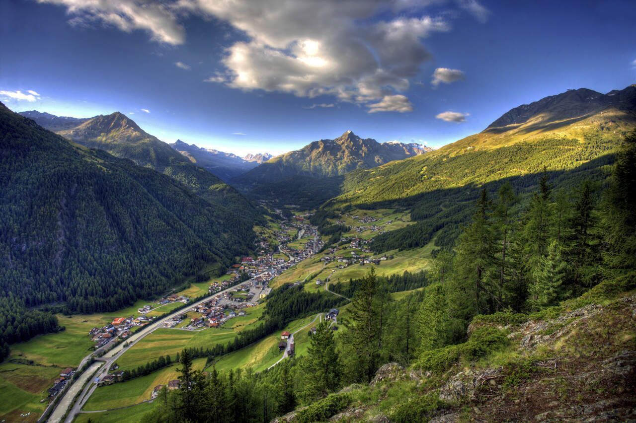
Place:Sölden
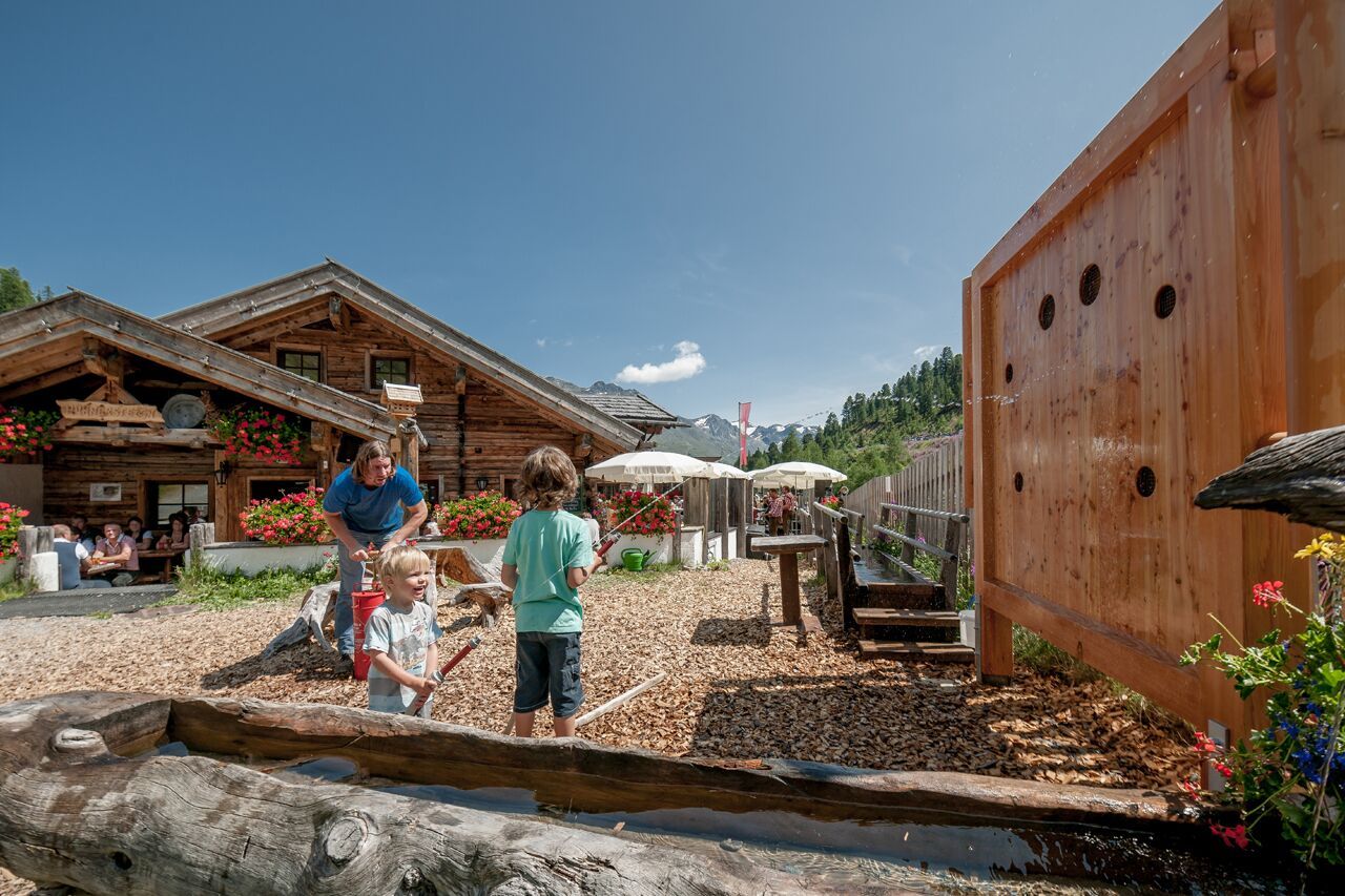
:Restaurant, Alpine pasture / hut / mountain restaurant
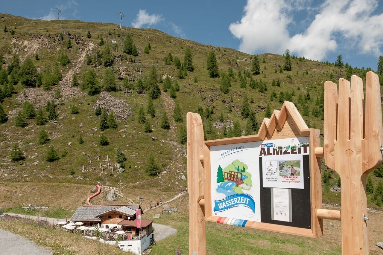
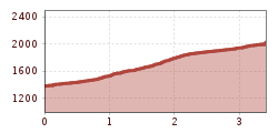
SÖLDEN -> HÜHNERSTEIGN -> SÖLDEN
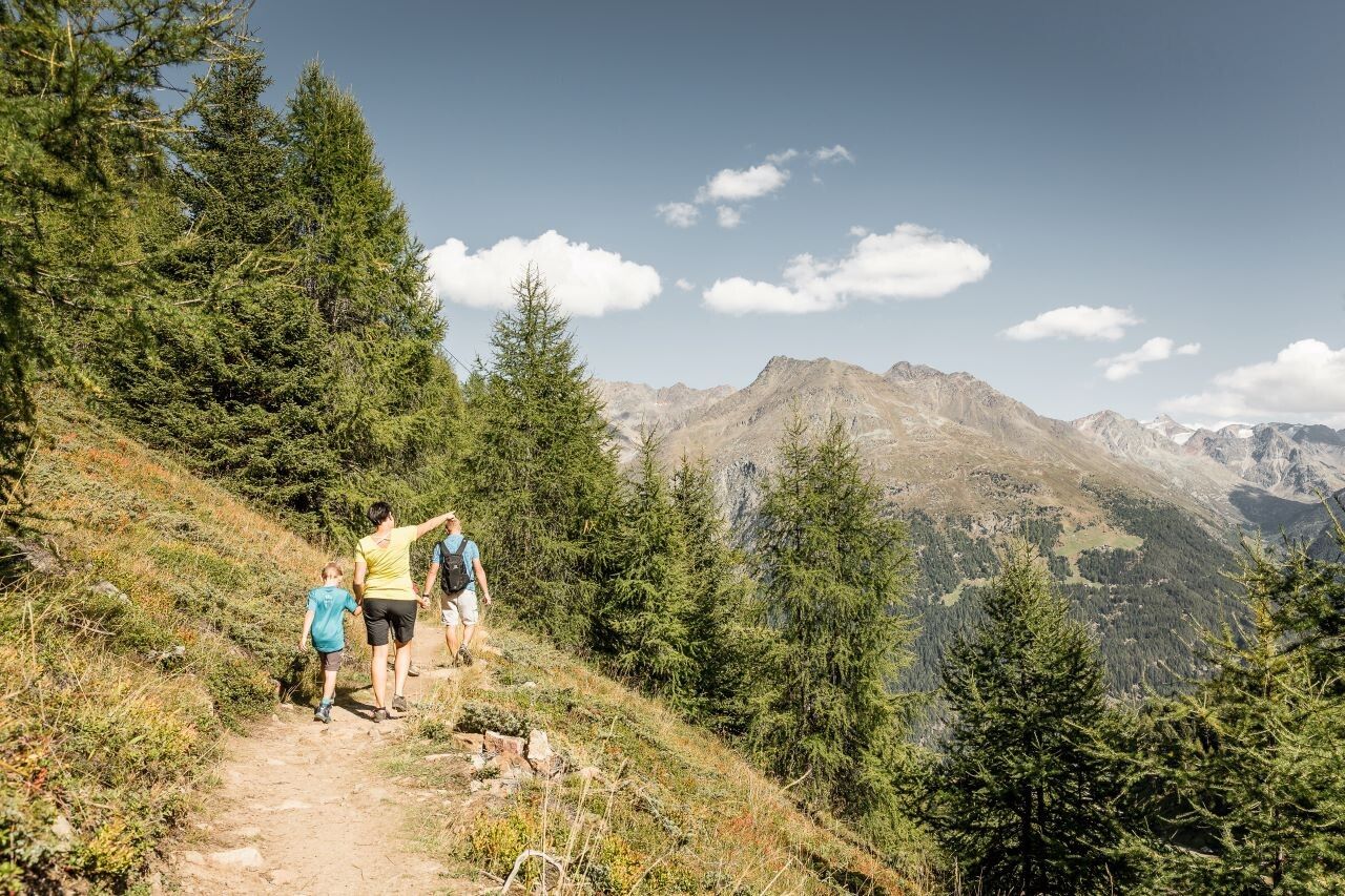
Red mountain trails are moderately difficult: some narrow and steep but secured walking and climbing sections await hikers.The corresponding signs have a yellow background color and show a red circle as a difficulty indicator.
Moderately difficult mountain trail; suitable for sure-footed and experienced mountain hikers;Good physical condition, mountaineering experience, and mountain equipment (see equipment section) are necessary.Please check the current weather forecast at: www.oetztal.com/de/sommer.html
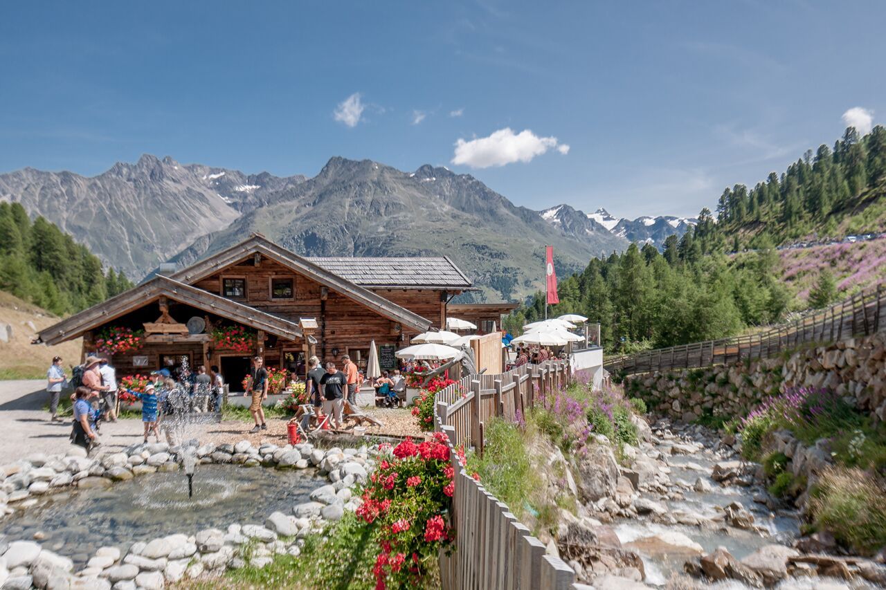
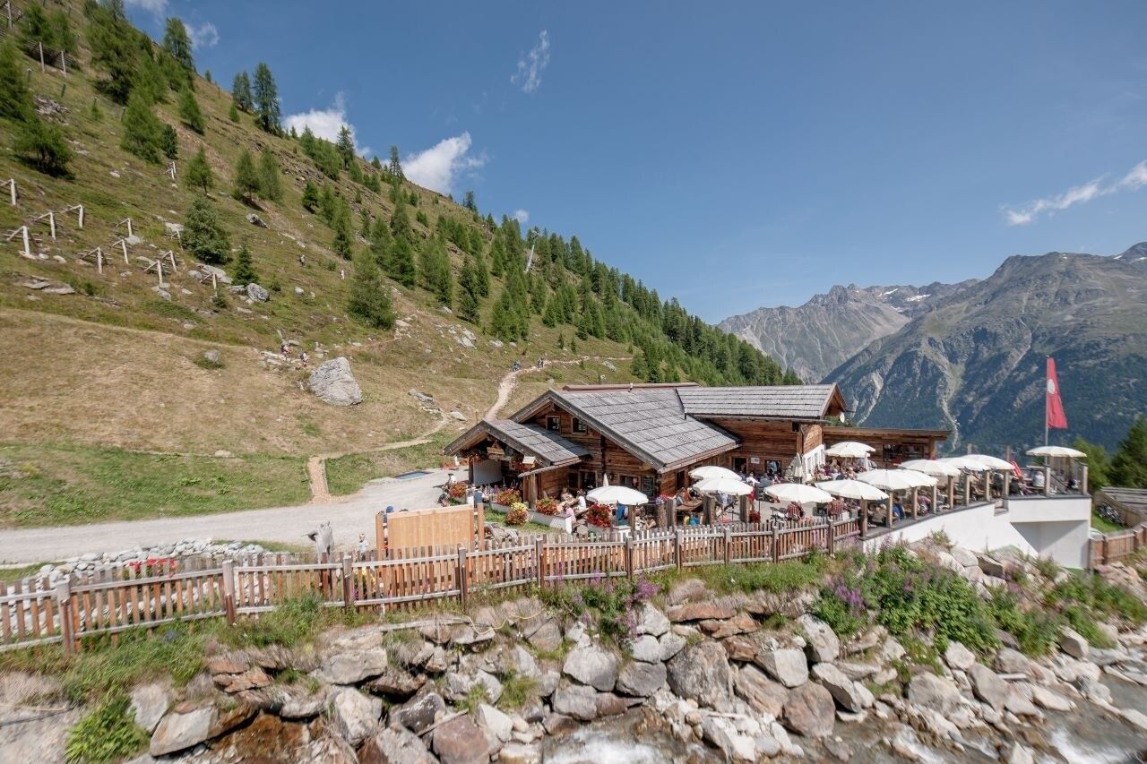
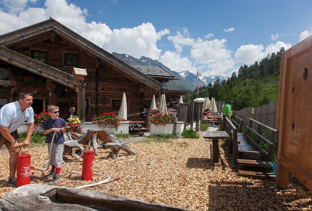
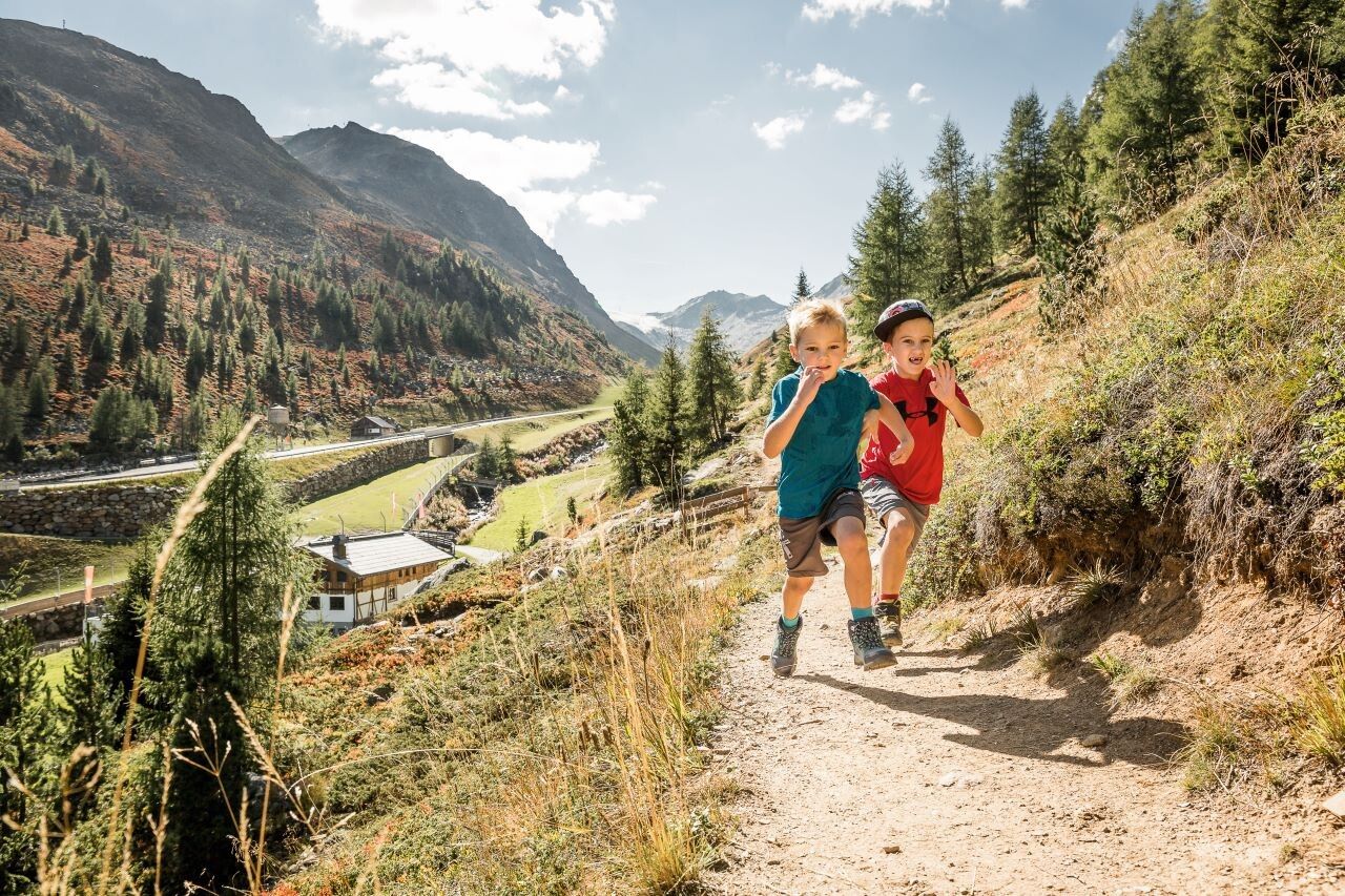
Appropriate equipment such as breathable and weather-appropriate outdoor clothing, ankle-high hiking boots, wind, rain, and sun protection, a hat, possibly gloves, is required for all hikes and tours. Carrying a first aid kit, a mobile phone, and possibly a hiking map, as well as sufficient provisions for hikes without opportunities to stop, is necessary.The Hühnersteign in Sölden is something very special – because here, warm hospitality is combined with a cozy atmosphere, both inside and outside. In the midst of the unique mountain world of the Ötztal Alps, guests are spoiled with everything the heart desires. In summer, the Hühnersteign is the perfect destination for pleasure hikers, mountaineers, and bikers. Enjoy sunny hours on the wonderful terrace with views of the beautiful mountain panorama, which seems within reach.The Hühnersteign can be reached via easy hiking trails, starting from the middle station of the Gaislachkoglbahn (approx. 45 minutes) or from Hochsölden via the panorama path (approx. 45 minutes). Additionally, the “Ollweite Line” (a trail of the Bike Republic Sölden) runs directly past the hut. You can also easily reach the hut by car or bus – from the toll station (Glacier Road), it is only a three-minute walk on foot. From Sölden, walk past the church into the hamlet of Grünwald, continue over the slightly steeper forest path to the road leading to Hochsölden until the turnoff to Gampe Alm. Then continue over Gampe Alm south to the marked path, gently ascending to the Hühnersteign.
Travel comfortably and safely by train to the Ötztal train station. The final stop or exit point is the ÖTZTAL train station. Afterward, travel conveniently and quickly with public transportation or local taxi companies through the entire valley to your destination.The current bus schedule is available at: fahrplan.vvt.at
In Sölden, the following parking options are available:
The parking spaces are subject to charges.
For parking over several days (e.g. hut tours):


")


