
Opening hours:Open today
Place:Alpbach
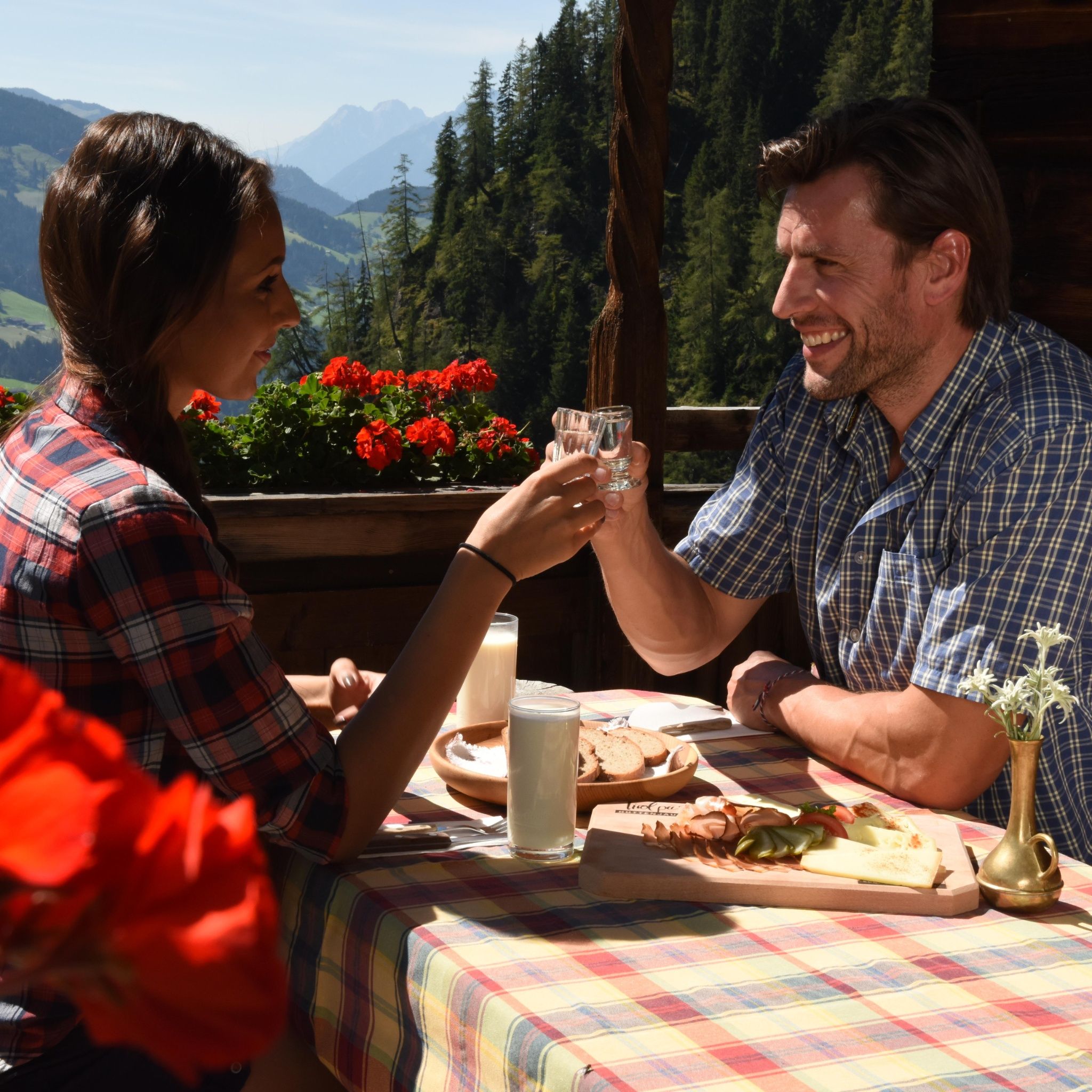
:Alpine pasture / hut / mountain restaurant
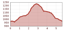
Circular hike via Mühlbachweg and Lärchenweg back. Discover Alpbach with many beautiful impressions - mostly along the Alpbacher Heimatweg.
Hiking equipment
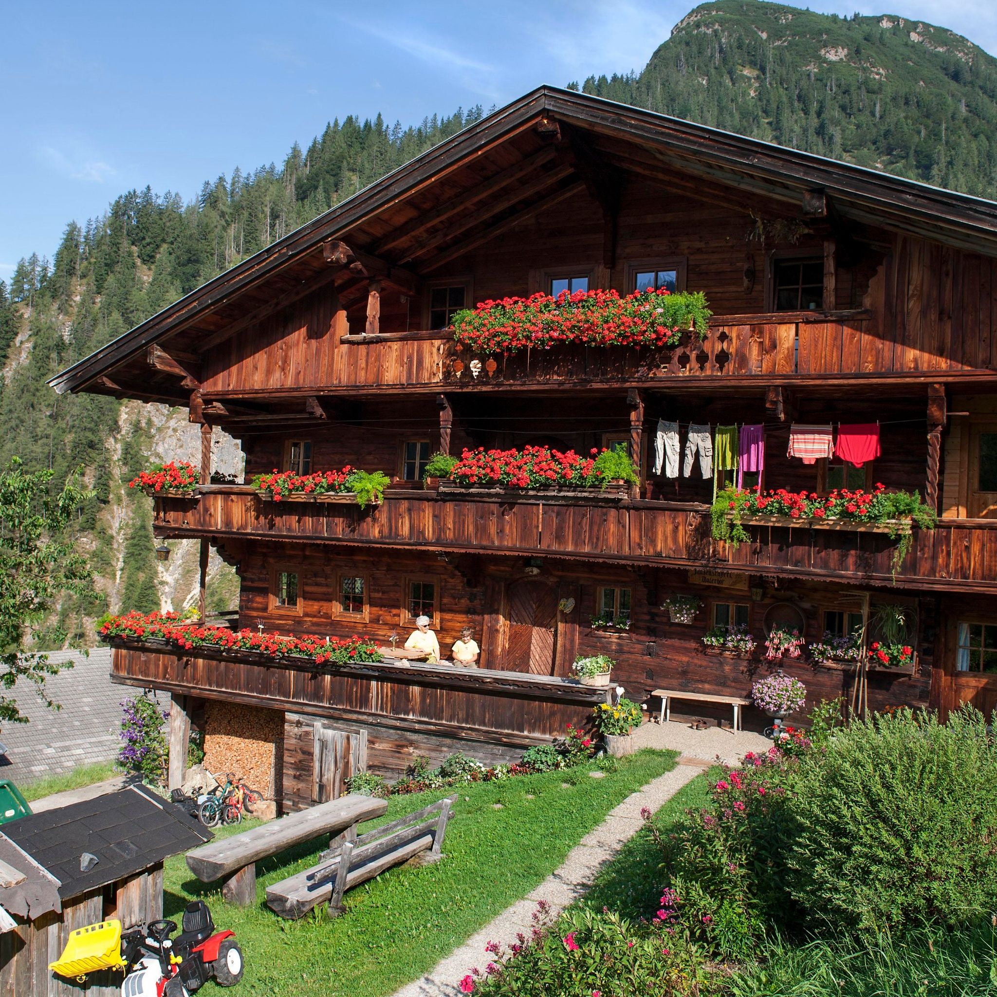
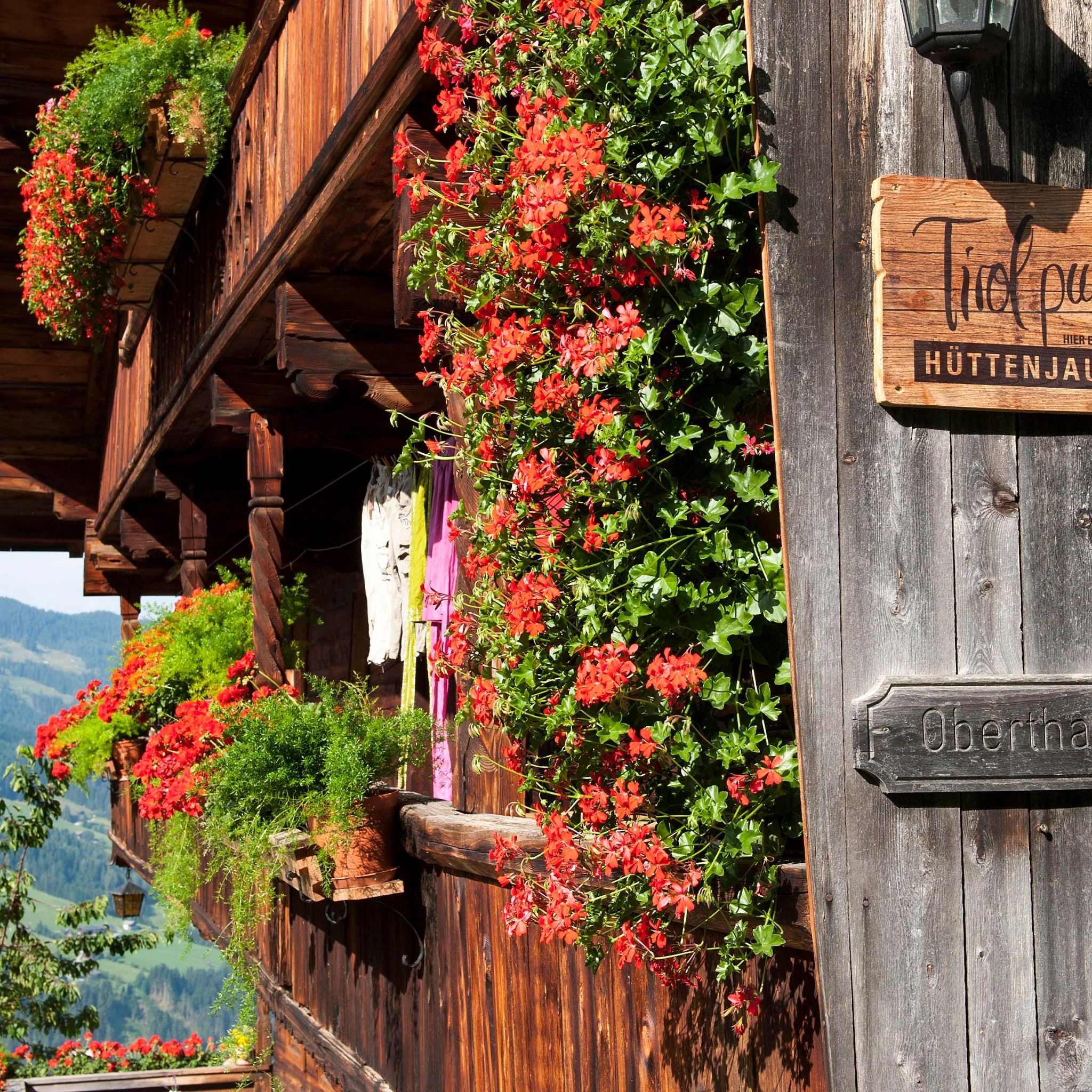
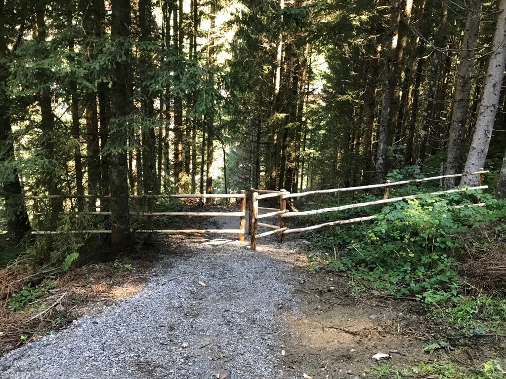
From Alpbach first head towards the Hotel Alpbacherhof, continue over a small bridge, at the fork turn right, over the Mühlbach bridge, turn left, along the Mühlbach path, the forest path A3, along the Höslbach stream to the barbecue area and playground, then continue right over a small bridge to the "Zottahof" and then to the "Jausenstüberl Oberthaler". Return along the same route to the playground, then via the Lärchenweg and Thierberg back to the starting point.
Line 620 www.vvt.at
in front of the village center


")


