Mountain hikes Kirchdorf - Prostalm

Kirchdorf in Tirol / Kaiser Mountains
Difficulty ratings: medium
Route length: 13.6 km
Duration: 5:00 h

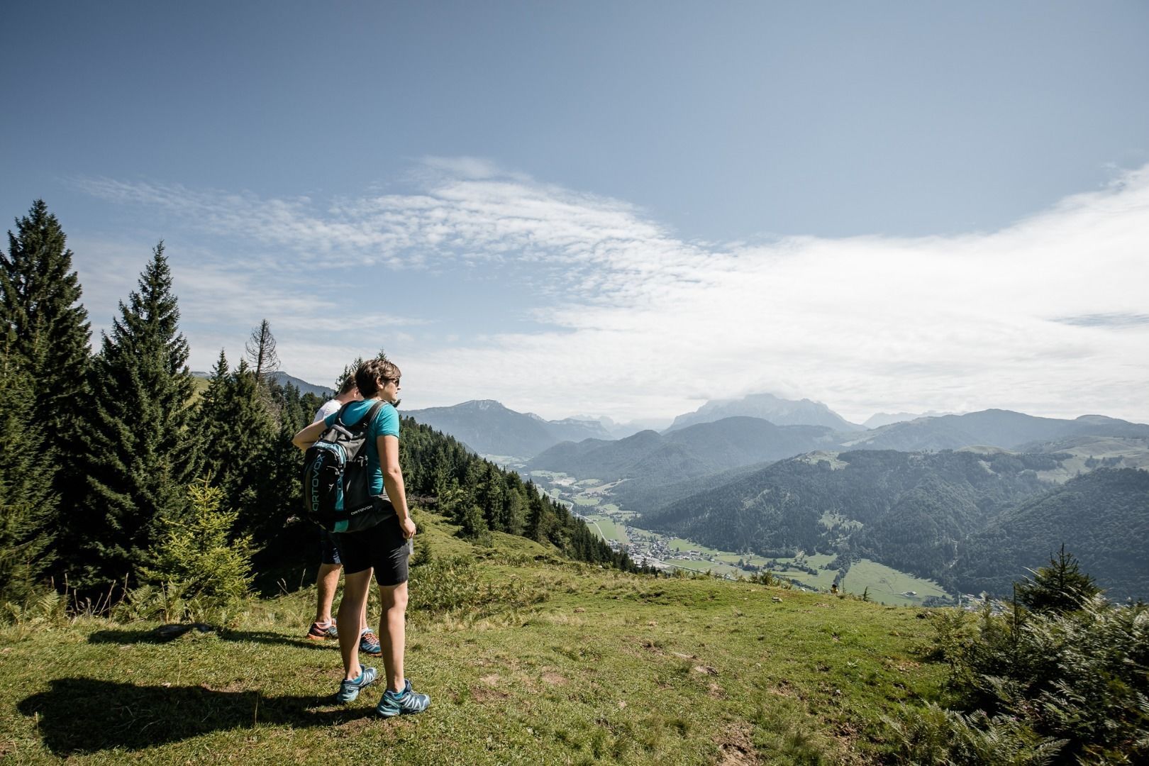
Leisurely hike and charming landscape
Tour information

  • Requirement: medium
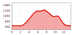
  • Length: 13.6 km
  • Duration: 5:00 h
  • Elevation uphill:608 hm
  • Elevation downhill:602 hm
Highest point1,228 m

Starting point

Kirchdorf in Tirol - Center

Finishing point

Kirchdorf in Tirol - Center
  • Fitness level 2 / 6
  • Technique 2 / 6

Features

  • Circular route

Best time of year

  • January
  • February
  • March
  • April
  • May
  • June
  • July
  • August
  • September
  • October
  • November
  • December

Trail condition

Asphalt, gravel, forest path, mountain path

Equipment

- outdoor clothing
- sturdy shoes
- Sufficient food and drinks
- First aid kit
- Mobile phone with full battery & charger
- Hiking map & guide literature
- GPS device or download the GPS data to your mobile phone if necessary
- Sun protection (sunglasses, sun cream, cap)
- Rain protection
- Cash
Source: Kitzbüheler Alpen Management GmbH

Description

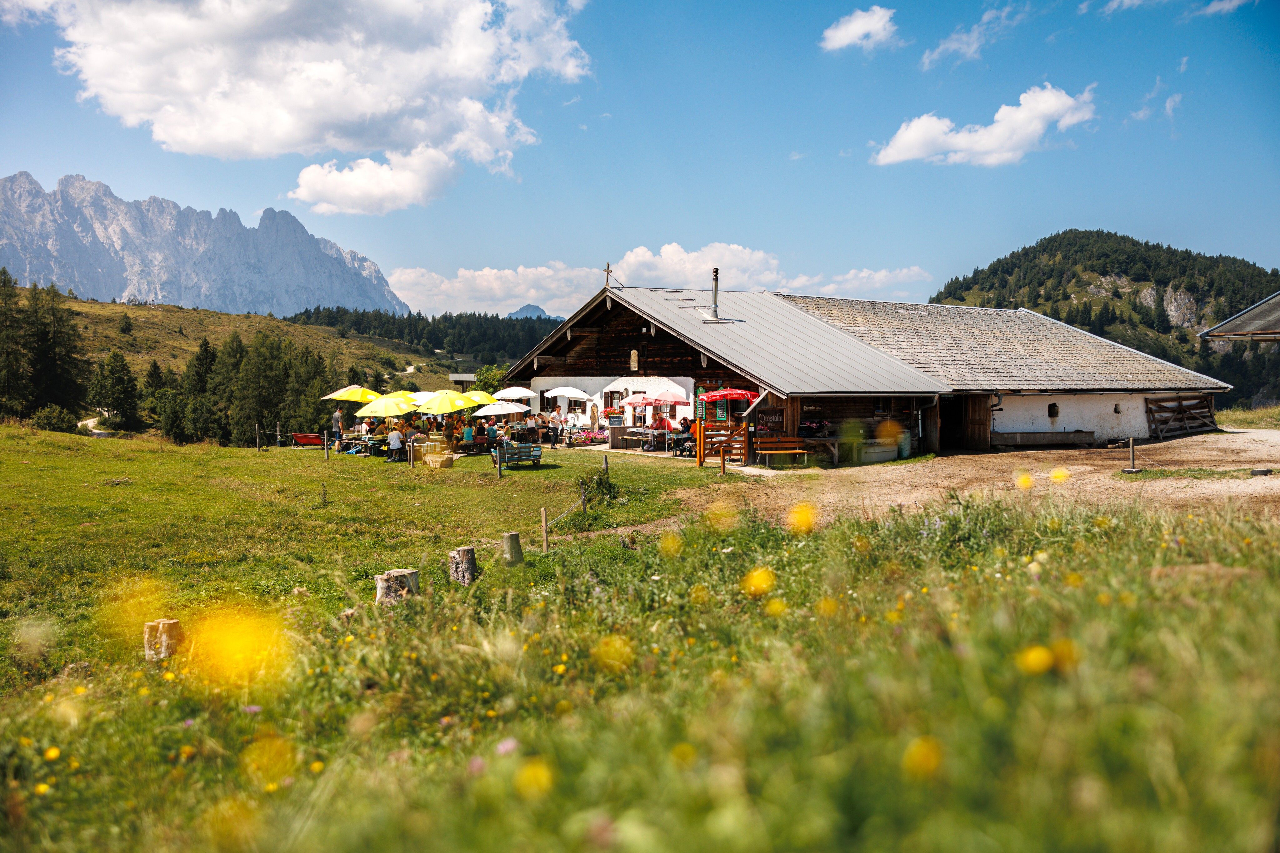
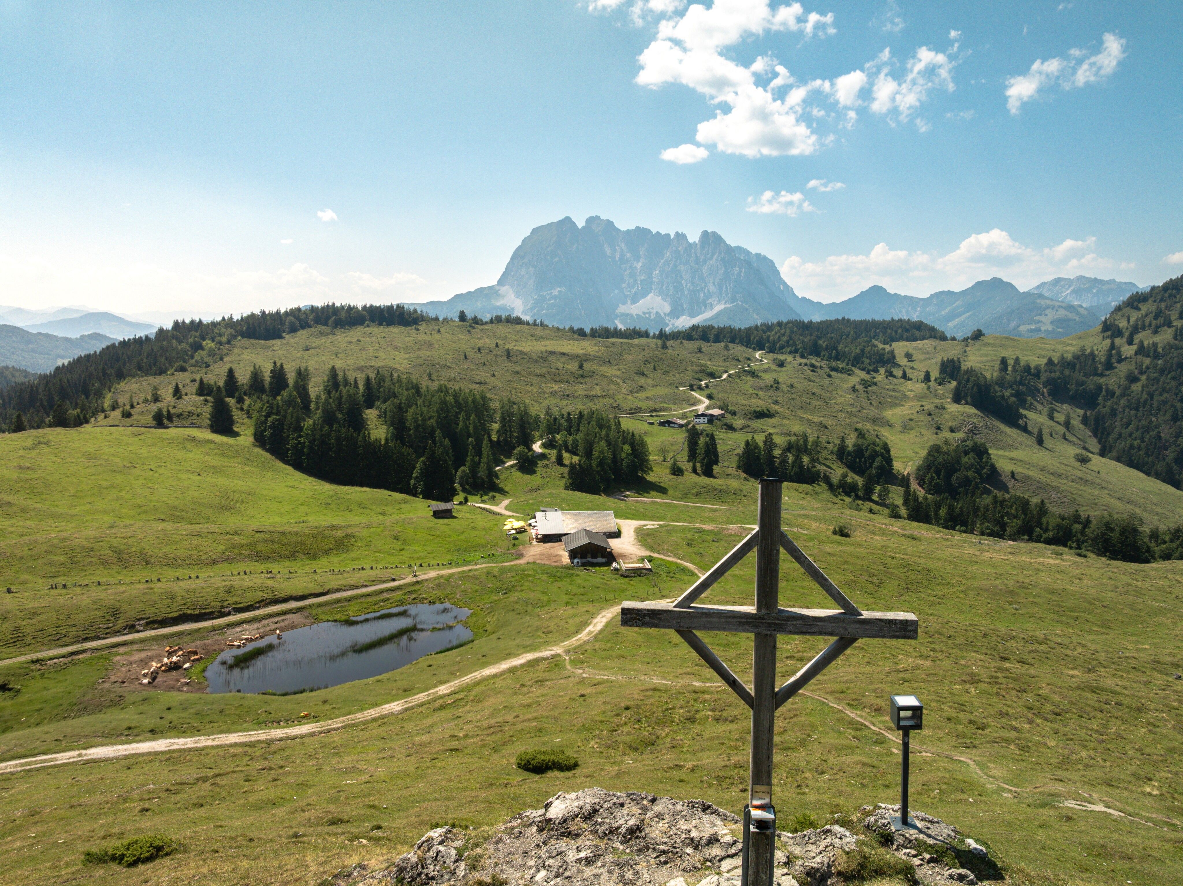
Start your hike in Kirchdorf and walk along the left Großachendamm to the hamlet of Weng. Branch off to the left and walk past the farms Aigen, Prost and Strübl to the Strübelalm. From there, continue to the Prostalm below the Prostkogel. Summit strikers can easily make the ascent to the summit cross in 10 minutes. 
Walk back along the forest road passing alpine meadows and the Marcheralm, then downhill to the Hinterberg car park. Walk past the Faulern farm on the left and you will reach on forest paths Kirchdorf center.

Alternative:
After the Feistötzalm, take the next turn to the left and hike through the wildly romantic Teufelsgasse (Devil's Lane) to the forest road, which leads to the Hinterberg car park.

Nearby huts and mountain restaurants

Getting here

  • Arrival by public transport

    Postbus 4012 St. Johann i. T. Bahnhof - Kirchdorf i. T. Bundesstraße
    Postbus 4000 St. Johann i. T. Bahnhof - Kirchdorf i. T. Ort

  • Parking

    Free parking in Kirchdorf i. T. centre (information office, education centre)

Weather

Today

mainly clear
25°C/13°C
20%0l5 km/h

Fri

clear sky
30°C/13°C
50%0.8l5 km/h

Sat

light rain showers
22°C/13°C
75%4l5 km/h
Go to weather forecast

More tours in the surrounding area

  • The Wiegalm

    Difficulty:medium
    Length:10.5 kmDuration:4:45 hElevation uphill:680 m
  • Koasa Trail Stage 2

    Difficulty:medium
    Length:11.8 kmDuration:7:15 hElevation uphill:1,078 m
  • Alpine Outdoor Gallery

    Difficulty:easy
    Length:6.7 kmDuration:2:00 hElevation uphill:117 m
  • Eifersbacher Wasserfall

    Difficulty:medium
    Length:5.9 kmDuration:2:30 hElevation uphill:241 m
  • Koasa Trail Stage 3

    Difficulty:medium
    Length:19.9 kmDuration:7:10 hElevation uphill:730 m
  • Koasa Trail Stage 5

    Difficulty:medium
    Length:14.0 kmDuration:6:45 hElevation uphill:935 m
  • Kaiserkrone - stage 5

    Difficulty:medium
    Length:10.8 kmDuration:5:15 hElevation uphill:840 m
  • Kaiserkrone - stage 4

    Difficulty:medium
    Length:16.1 kmDuration:6:30 hElevation uphill:640 m
  • Koasa Trail Stage 1

    Difficulty:medium
    Length:16.9 kmDuration:6:45 hElevation uphill:937 m
  • Koasa Trail Stage 4

    Difficulty:medium
    Length:20.6 kmDuration:7:35 hElevation uphill:923 m
  • Angerer Alm

    Difficulty:medium
    Length:5.7 kmDuration:2:45 hElevation uphill:652 m
  • Brechhorn

    Difficulty:medium
    Length:11.8 kmDuration:5:00 hElevation uphill:600 m
  • Schafsiedel

    Difficulty:medium
    Length:15.6 kmDuration:7:00 hElevation uphill:1,280 m
Newsletter

The mountain is calling? So does our newsletter!

In our monthly newsletter we reveal the best holiday tips for Tyrol.