Mountain hikes Kirchdorf sunny side round with reservoir

Kirchdorf in Tirol / Kaiser Mountains
Difficulty ratings: easy
Route length: 6.6 km
Duration: 2:30 h

Via the Kirchdorfer Sonnseit to the hamlet of Gasteig and the idyllic reservoir.
Tour information

  • Requirement: easy
  • Length: 6.6 km
  • Duration: 2:30 h
  • Elevation uphill:259 hm
  • Elevation downhill:260 hm
Highest point880 m

Starting point

Kirchdorf - center

Finishing point

Kirchdorf - center
  • Fitness level 2 / 6
  • Technique 1 / 6

Features

  • Circular route
  • Suitable for families

Best time of year

  • January
  • February
  • March
  • April
  • May
  • June
  • July
  • August
  • September
  • October
  • November
  • December

Trail condition

Asphalt, gravel

Equipment

- outdoor clothing
- sturdy shoes
- Sufficient food and drinks
- First aid kit
- Mobile phone with full battery & charger
- Hiking map & guide literature
- GPS device or download the GPS data to your mobile phone if necessary
- Sun protection (sunglasses, sun cream, cap)
- Rain protection
- Cash
Source: Kitzbüheler Alpen Management GmbH

Description

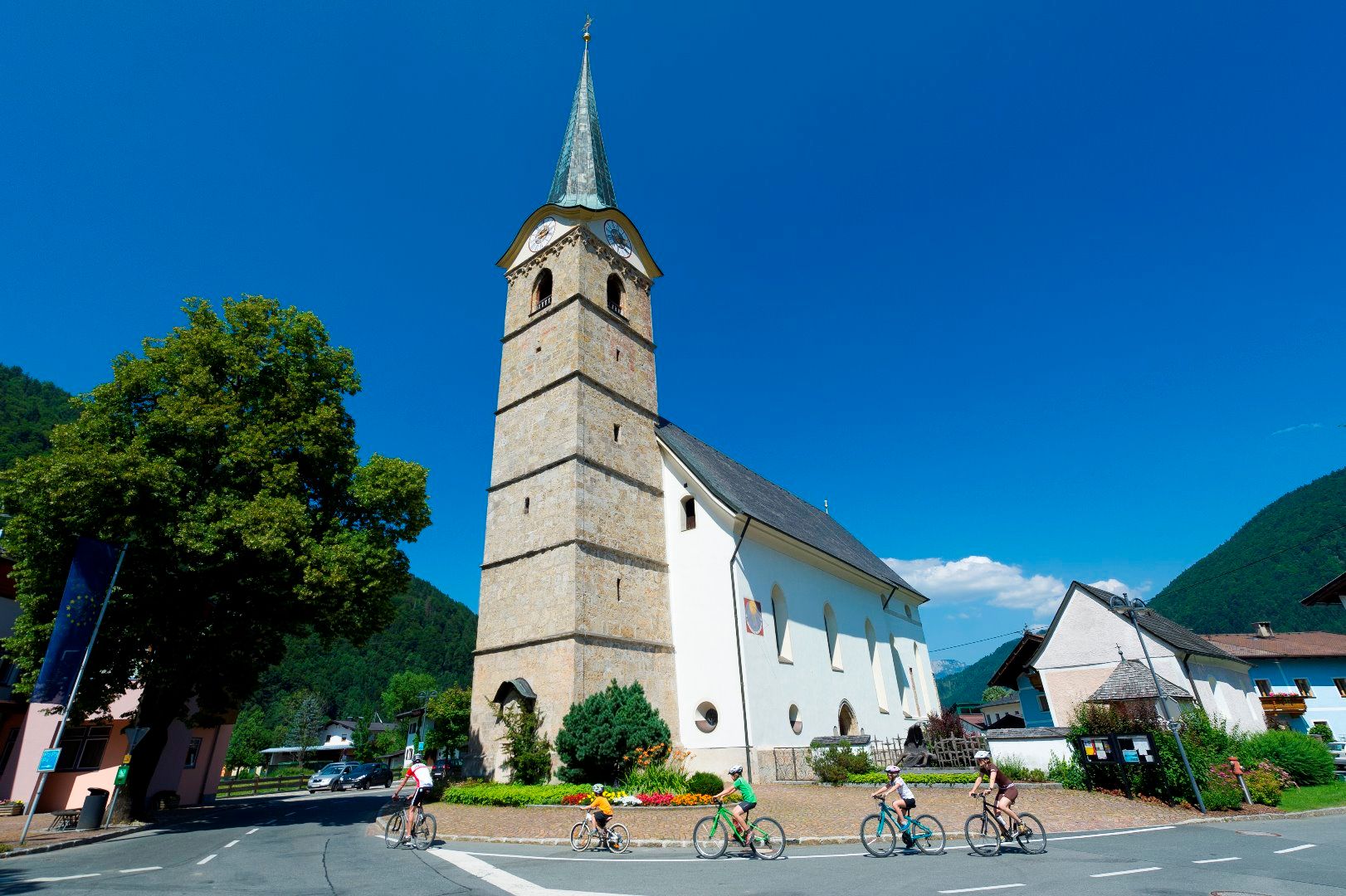
We start at the church of St. Stephen in the centre of Kirchdorf. The village owes its name to this church. In times long past, numerous believers made a pilgrimage to the parish at the foot of the Wilder Kaiser for high mass on Sundays.

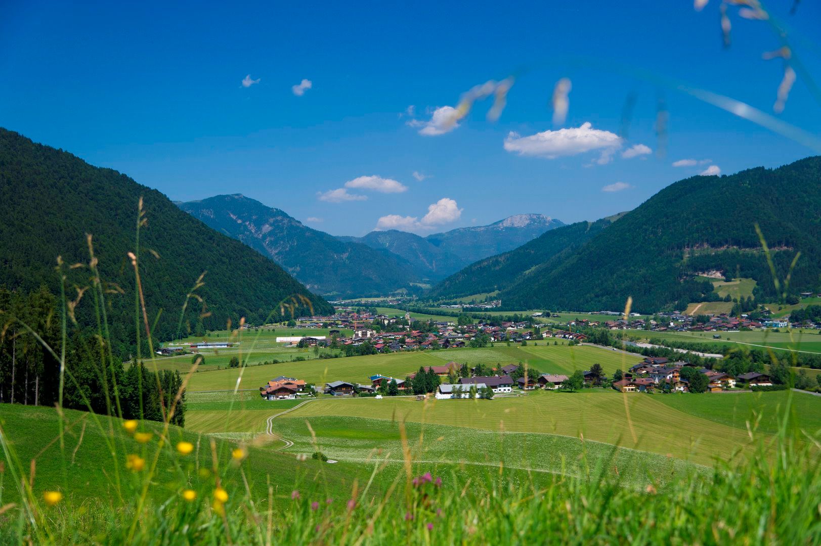
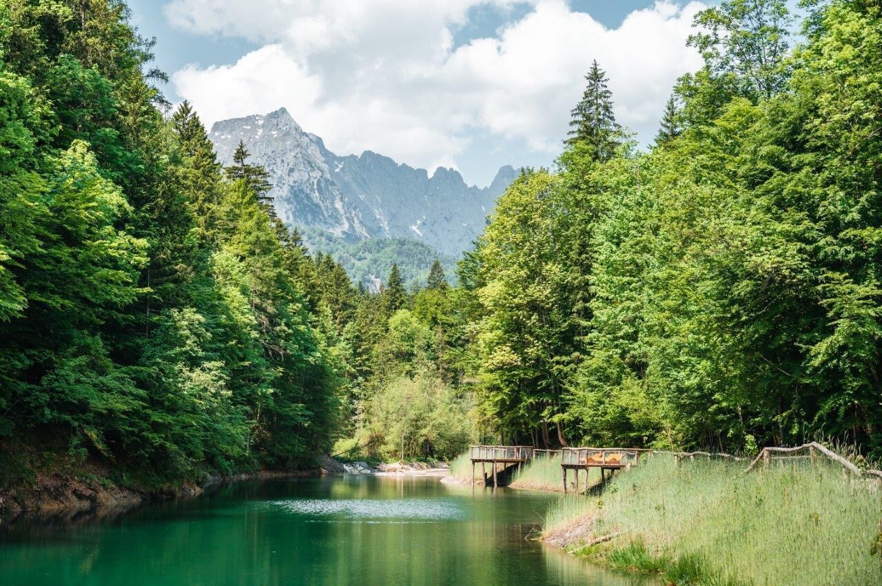
The hike first leads you in the direction of the cemetery, following Leerbergstraße. Behind the cemetery chapel, the hiking trail leads up into the forest. A forest path leads you along the foot of the Leerberg - great views arise along the way. At the end of the tour, you will pass an old wayside cross. From here, you first hike along the Sonnseitweg. Behind an old farmhouse, a path leads into the forest again and guides you to the hamlet of Gasteig. On the way to Gasteig you pass old hay barns, beehives and farmhouses. Once you arrive in Gasteig, there are numerous opportunities to stop for refreshments. Various inns, cafés and the Wilder Käser show dairy invite you to linger and enjoy. The hike takes you back to Kirchdorf via the reservoir. The small reservoir (built in 1901/1902) used to be an important instrument for energy production, but in the age of large, effective power plants, this gem is losing its importance. Once in the valley, you walk along the Luigambach and the Großache back to Kirchdorf to the starting point of the short hike.
 

Nearby huts and mountain restaurants

Getting here

  • Arrival by public transport

    Postbus 4012 exit Kirchdorf i. T. Bundesstraße
    Postbus 4000 exit Kirchdorf i. T. Ort
    Or conveniently with the free OKTO hiking bus in the summer season from Monday to Friday,
    Journey times here:kitzalps.cc/mobile

  • Parking

    Coming from Kitzbühel/Oberndorf and St. Johann in the Tirol, follow the B178 to Kirchdorf and turn left onto Dorfstraße.
    Coming from Waidring/Erpfendorf, drive in to the direction of Kitzbühel, follow the B178 to Kirchdorf and turn right into the center.

    This will take you to the St. Johann in Tirol region: 
    www.kitzbueheler-alpen.com/en/stjo/getting-here/holidays.html
    Free parking in Kirchdorf i. T. centre (information office, education centre)

Weather

Today

partly Cloudy
12°C/0°C
80%7.7l5 km/h

Sat

light rain showers
8°C/1°C
75%2l5 km/h

Sun

light rain
11°C/0°C
80%6.7l5 km/h
Go to weather forecast

More tours in the surrounding area

  • Koasa Trail Stage 4

    Difficulty:medium
    Length:20.6 kmDuration:7:35 hElevation uphill:923 m
  • Koasa Trail Stage 3

    Difficulty:medium
    Length:19.9 kmDuration:7:10 hElevation uphill:730 m
  • Koasa Trail Stage 5

    Difficulty:medium
    Length:14.0 kmDuration:6:45 hElevation uphill:935 m
  • Koasa Trail Stage 1

    Difficulty:medium
    Length:16.9 kmDuration:6:45 hElevation uphill:937 m
  • Kaiserkrone - stage 5

    Difficulty:medium
    Length:10.8 kmDuration:5:15 hElevation uphill:840 m
  • Kaiserkrone - stage 4

    Difficulty:medium
    Length:16.1 kmDuration:6:30 hElevation uphill:640 m
  • Alpine Outdoor Gallery

    Difficulty:easy
    Length:6.7 kmDuration:2:00 hElevation uphill:117 m
  • Angerer Alm

    Difficulty:medium
    Length:5.7 kmDuration:2:45 hElevation uphill:652 m
  • Koasa Trail Stage 2

    Difficulty:medium
    Length:11.8 kmDuration:7:15 hElevation uphill:1,078 m
  • The Wiegalm

    Difficulty:medium
    Length:10.5 kmDuration:4:45 hElevation uphill:680 m
  • Teufelsgasse - "Devil's Lane"

    Difficulty:medium
    Length:7.6 kmDuration:3:00 hElevation uphill:343 m
  • Bichlachrunde

    Difficulty:easy
    Length:10.5 kmDuration:3:30 hElevation uphill:295 m
  • Schafsiedel

    Difficulty:medium
    Length:15.6 kmDuration:7:00 hElevation uphill:1,280 m
  • Möslalmkogel via Wörgl

    Difficulty:medium
    Length:10.3 kmDuration:3:30 hElevation uphill:580 m
Newsletter

The mountain is calling? So does our newsletter!

In our monthly newsletter we reveal the best holiday tips for Tyrol.