Mountain hikes Kleine Salve via Grünholz and KRAFTalm

Itter / Kitzbühel Alps
Difficulty ratings: medium
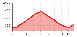
Route length: 17.5 km
Duration: 5:00 h

Kleine Salve via Grünholz and KRAFTalm

Tour information

  • Requirement: medium
  • Length: 17.5 km
  • Duration: 5:00 h
  • Elevation uphill:1,029 hm
  • Elevation downhill:841 hm
Highest point1,547 m

Starting point

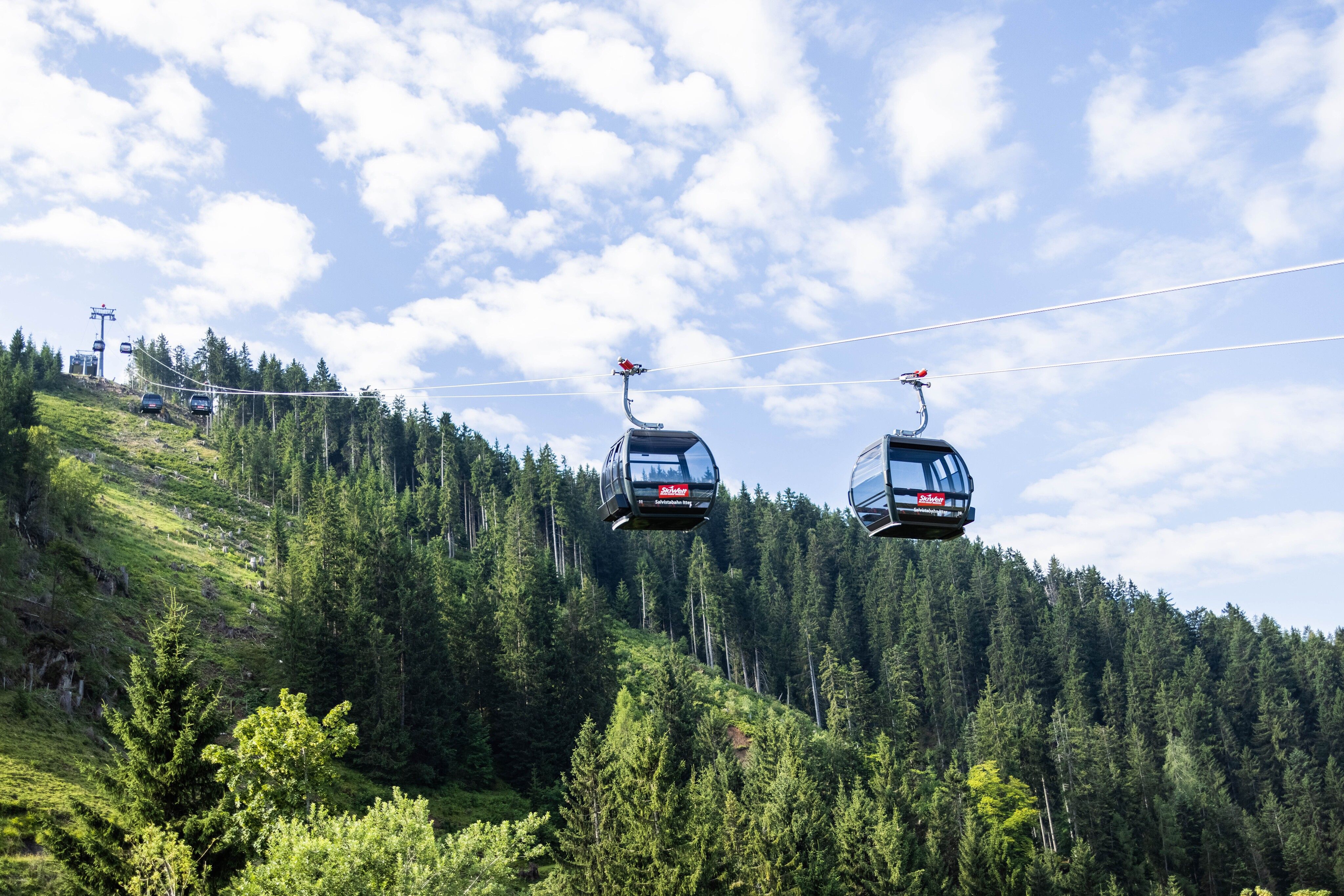
Salvistabahn Itter

Finishing point

Salvistabahn Itter
  • Fitness level 4 / 6
  • Technique 3 / 6

Features

  • Circular route

Best time of year

  • January
  • February
  • March
  • April
  • May
  • June
  • July
  • August
  • September
  • October
  • November
  • December

Trail condition

Asphalt, hiking trail, forest track

Equipment

Outdoor clothing
sturdy footwear
sufficient food and drinks first aid kit
mobile phone with full battery & charger
hiking map & guidebooks possibly GPS device or download GPS data to your phone
sun protection (sunglasses, sunscreen & cap)
rain protection
cash
Source: Kitzbüheler Alpen Management GmbH

Description

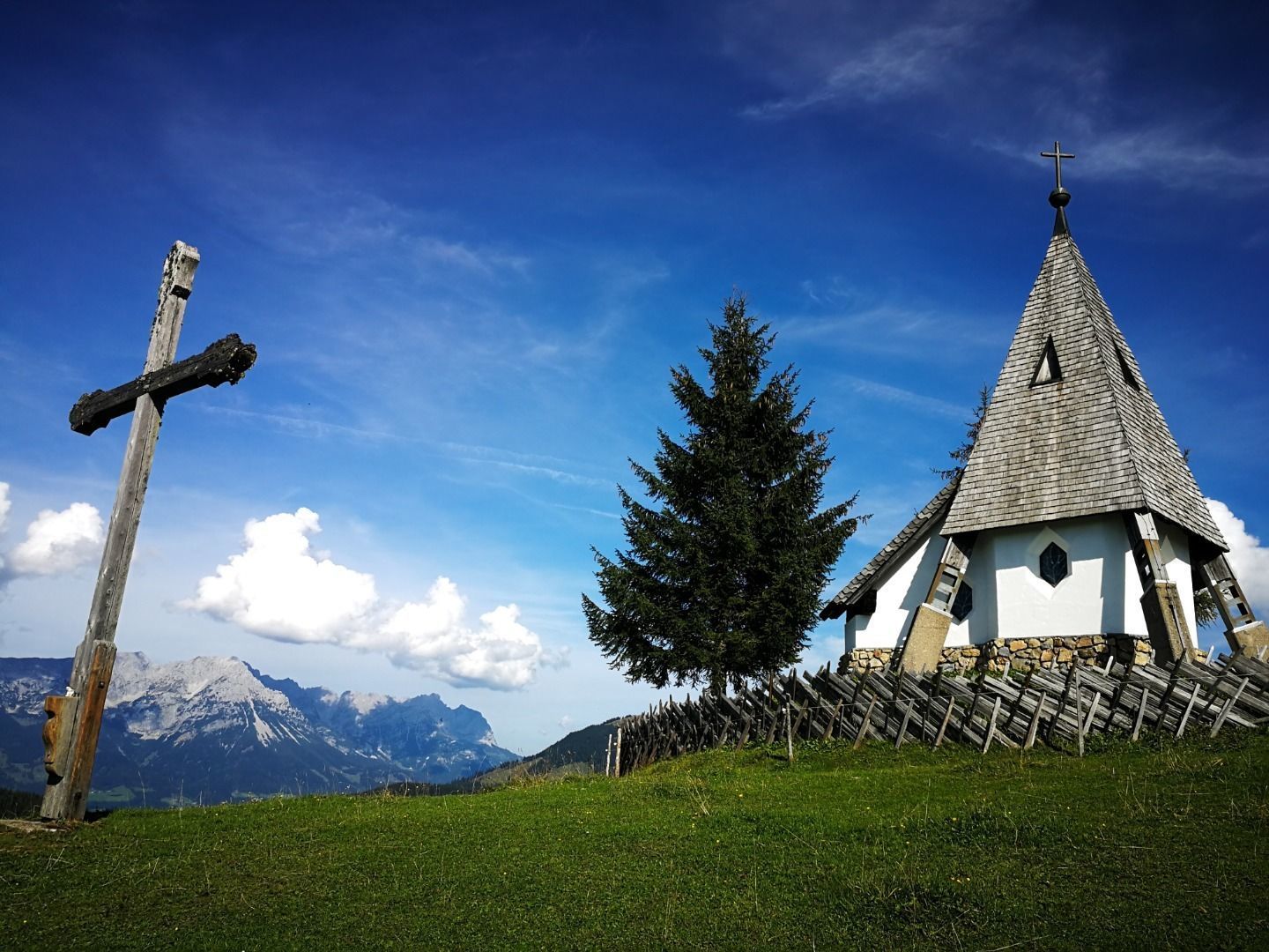
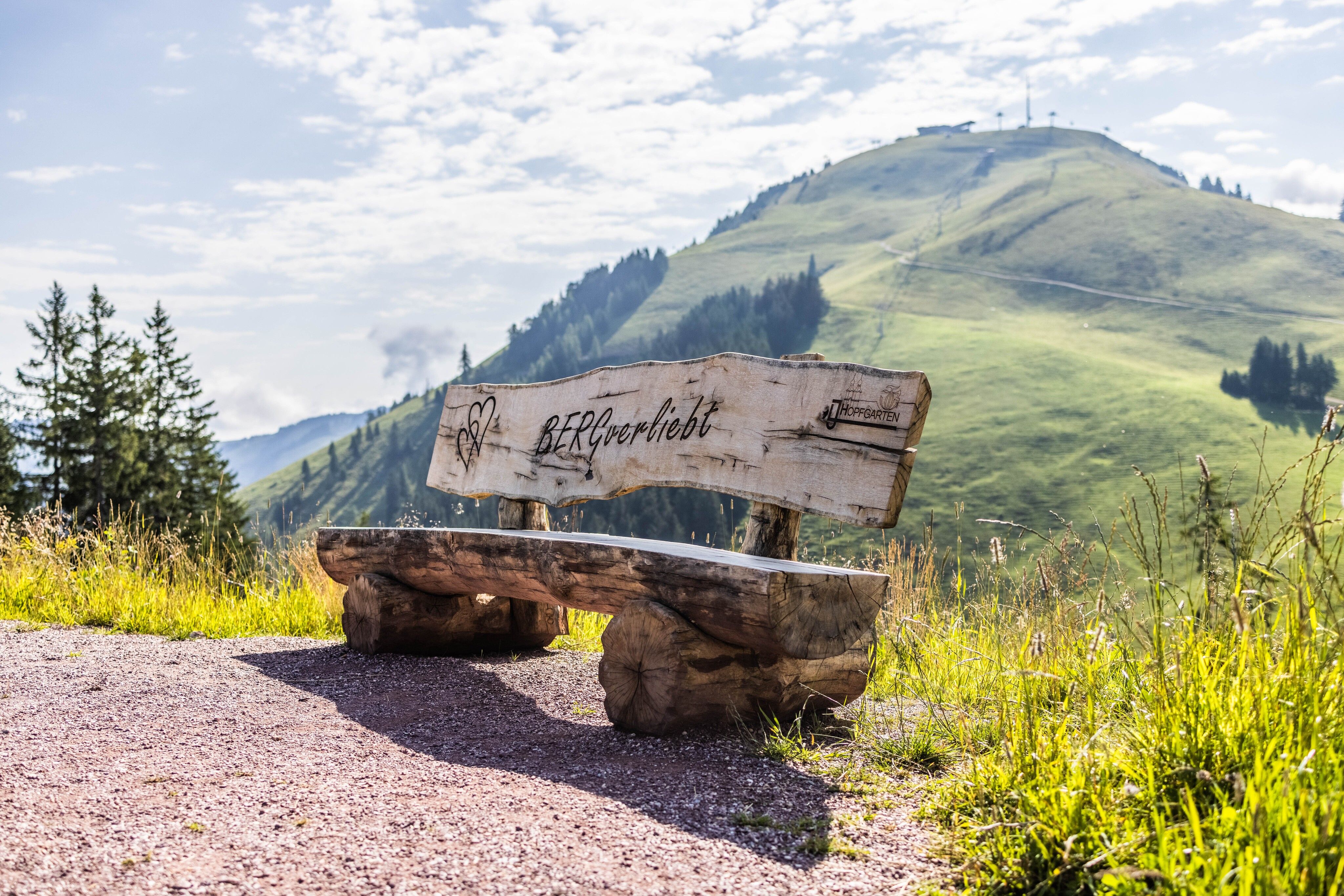
The starting point of this hike is at the Salvistabahn in Itter. Walk along the Schwendter Weg towards the village centre before branching off onto the hiking trail towards Kraftalm at the Grünholzbach stream. This path winds uphill past the Scherzer farm and continues to the first stage destination: the KRAFTalm. Next to the alpine pasture, you will also find a small chapel and a summit cross on the hill.
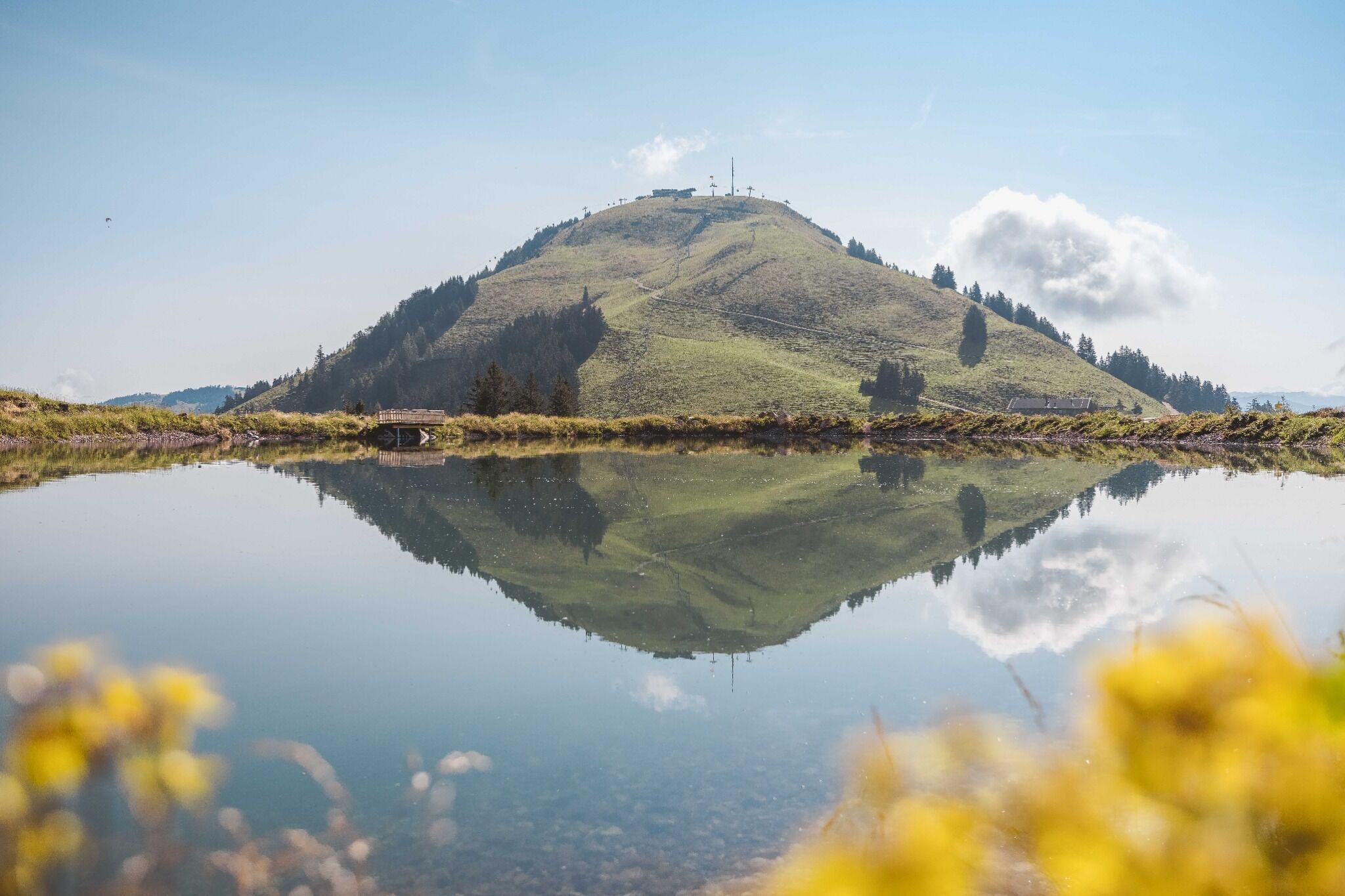
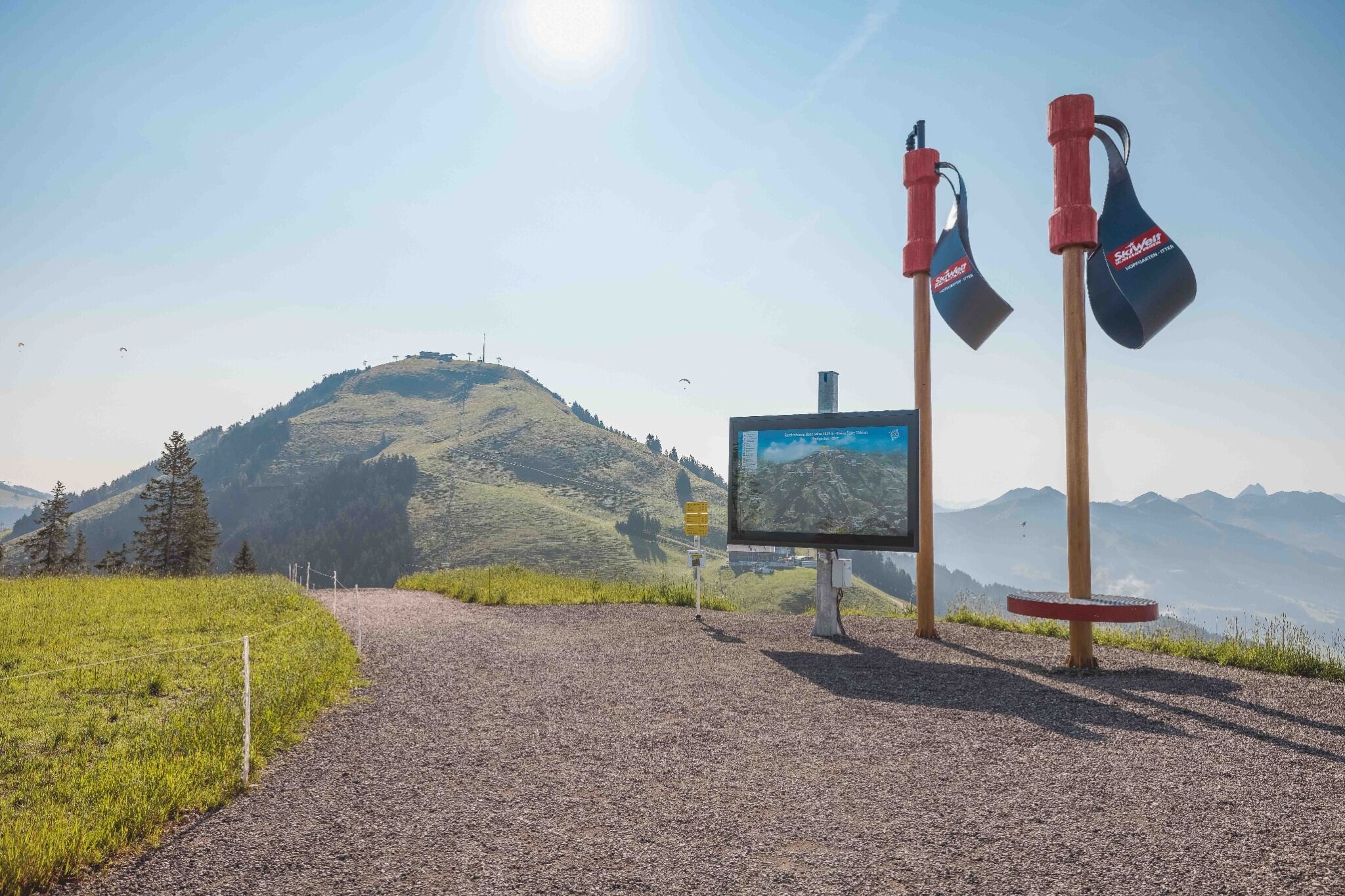
Continue along a well-maintained forest path up to the Kleine Salve (Salvistabahn mountain station), where the Kleine Salve reservoir is located directly below the summit.
For the return journey, follow the signs for Hopfgarten (No. 68). Below the Schornhof farm, turn right and follow the path to Itter (No. 68). Walk through the forest past the Hofbichl farm and continue following the path towards Schlossblick. From there, continue to the district of Hacha. You can return to the starting point via path No. 1.

Nearby huts and mountain restaurants

  • KRAFTalm

    Opening hours:Open today
    Place:Itter
    :Restaurant, Alpine pasture / hut / mountain restaurant, Bar / Pub
    see restaurant details: KRAFTalm

Getting here

  • Arrival by public transport

    Bus: Salvistabahn Itter
    Train: Wörgl Hauptbahnhof

    Regional Guest Card = Train ticket from Kirchbichl to Hochfilzen + Bus ticket from Mariastein to Kitzbühel included! 

    Valid on ÖBB local trains (S, REX) and InterRegio trains (IR) between Kirchbichl - Wörgl and Hochfilzen
    Not valid on RJ, RJX, EC, IC, ICE, D and NJ/EN trains

    More detailed information at: www.hohe-salve.com/mobility
     

  • Parking

    Salvistabahn

Weather

Today

light rain showers
17°C/8°C
60%0.9l5 km/h

Sat

clear sky
22°C/6°C
0%0l5 km/h

Sun

mainly clear
23°C/8°C
70%2.7l5 km/h
Go to weather forecast

More tours in the surrounding area

  • Koasa Trail Stage 3

    Difficulty:medium
    Length:19.9 kmDuration:7:10 hElevation uphill:730 m
  • Koasa Trail Stage 5

    Difficulty:medium
    Length:14.0 kmDuration:6:45 hElevation uphill:935 m
  • Kaiserkrone - stage 5

    Difficulty:medium
    Length:10.8 kmDuration:5:15 hElevation uphill:840 m
  • Kaiserkrone - stage 4

    Difficulty:medium
    Length:16.1 kmDuration:6:30 hElevation uphill:640 m
  • Koasa Trail Stage 1

    Difficulty:medium
    Length:16.9 kmDuration:6:45 hElevation uphill:937 m
  • Koasa Trail Stage 4

    Difficulty:medium
    Length:20.6 kmDuration:7:35 hElevation uphill:923 m
  • The Wiegalm

    Difficulty:medium
    Length:10.5 kmDuration:4:45 hElevation uphill:680 m
  • Angerer Alm

    Difficulty:medium
    Length:5.7 kmDuration:2:45 hElevation uphill:652 m
  • Koasa Trail Stage 2

    Difficulty:medium
    Length:11.8 kmDuration:7:15 hElevation uphill:1,078 m
  • Alpine Outdoor Gallery

    Difficulty:easy
    Length:6.7 kmDuration:2:00 hElevation uphill:117 m
  • Eifersbacher Wasserfall

    Difficulty:medium
    Length:5.9 kmDuration:2:30 hElevation uphill:241 m
  • 2nd stage KAT Walk Alpine

    Difficulty:medium
    Length:18.0 kmDuration:8:00 hElevation uphill:1,140 m
  • KAT WALK COMPACT

    Difficulty:medium
    Length:83.0 kmDuration:36:45 hElevation uphill:5,462 m
  • 1st stage KAT Walk Kompakt

    Difficulty:medium
    Length:14.2 kmDuration:7:15 hElevation uphill:1,212 m
Newsletter

The mountain is calling? So does our newsletter!

In our monthly newsletter we reveal the best holiday tips for Tyrol.