
Opening hours:Open today
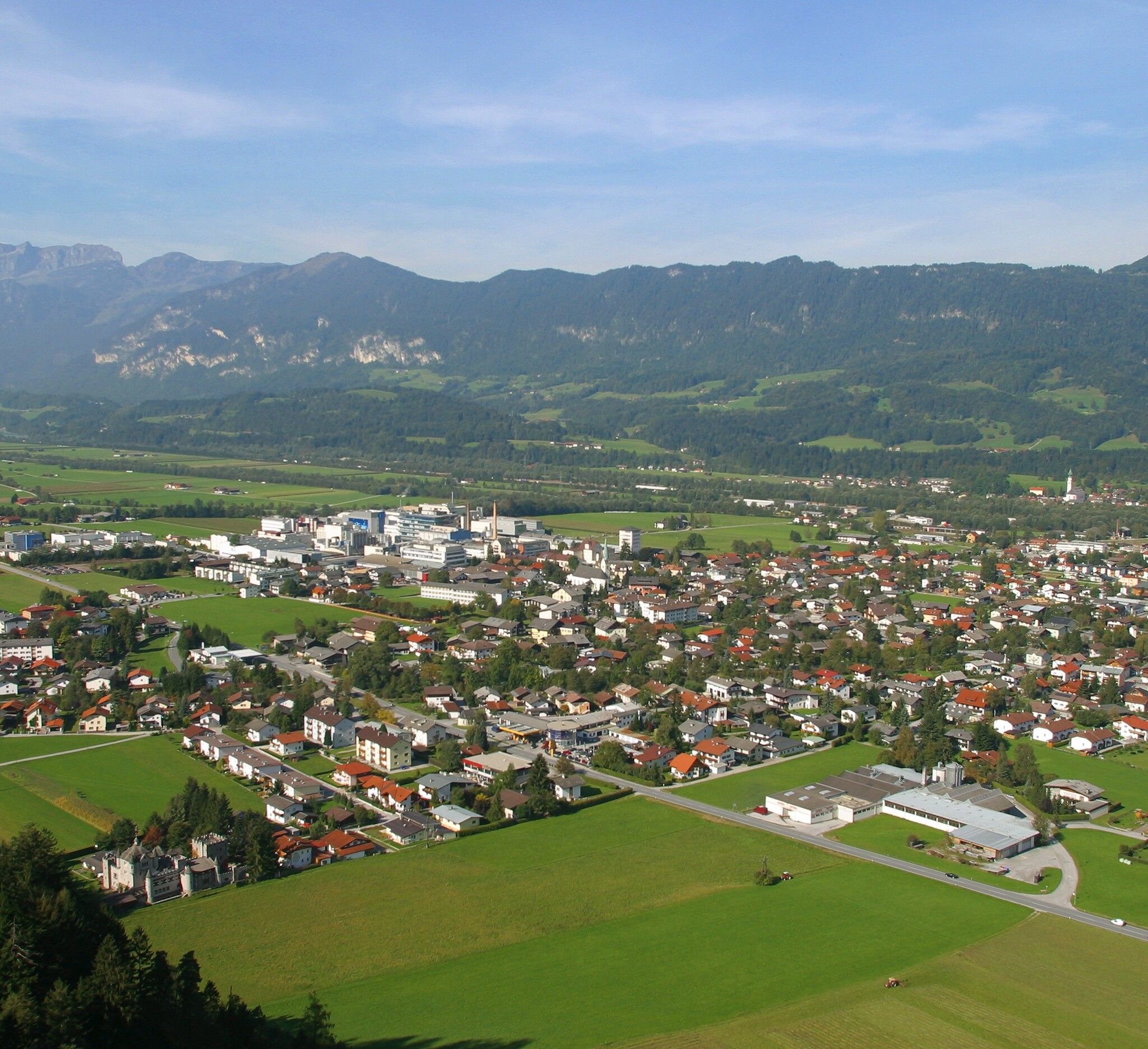
Place:Kundl
:Restaurant
Varied hike through and around Kundl
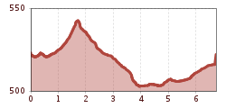
sturdy shoes
From the village center, head east (Wörgl) to the Achen bridge. Then go right along the Ache river upstream to the next pedestrian bridge, cross it and go left along the Ache under the federal road. At the asphalt path, first left, then right again to the parking lot at the shooting range.
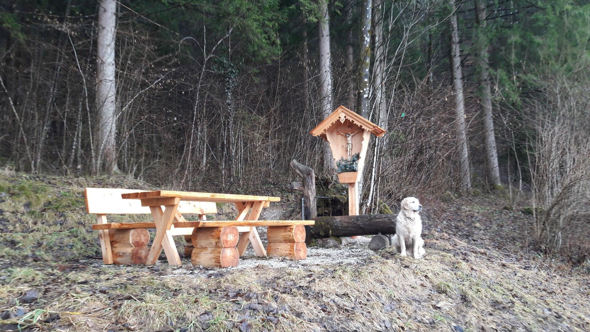
Now follow the forestry road towards Brach but turn left after about 200 m. Then it goes through forest and forest edge, past the rest area "Kaltenbrunn", to the industrial area. Cross the federal road here - watch for traffic! - past the Hochstaffl company towards Liesfeld. Turn right at the second street after the small fire station and follow the bicycle path to the next pedestrian bridge, cross it and then again right along the Ache river to the already known Achen bridge and back to the village center.
www.vvt.at REX Kundl train station
Kundl village center


")


