Mountain hikes Lake Hornblicksee via Eifersbacher Waterfall

St. Johann in Tirol / Kitzbühel Alps
Difficulty ratings: medium
Route length: 10.3 km
Duration: 3:30 h

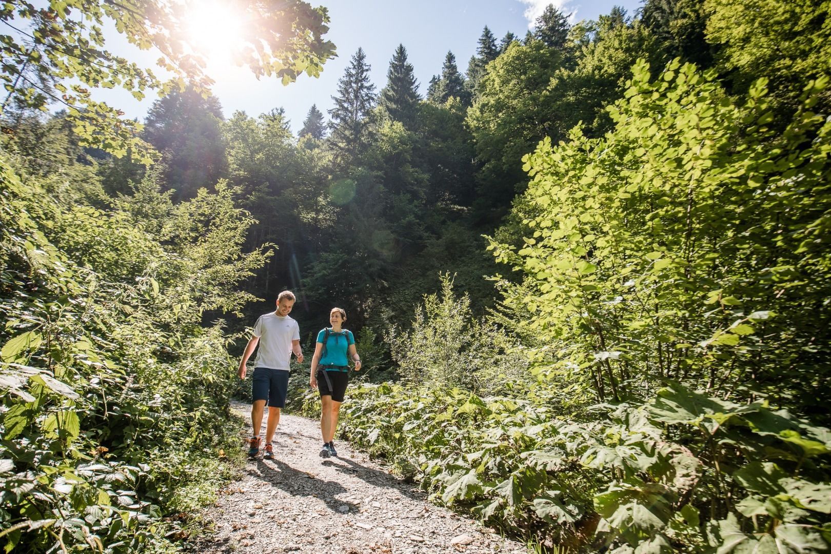
Gently flowing - loudly roaring - romantically still: This is how the water presents itself along the hike.
Tour information

  • Requirement: medium
  • Length: 10.3 km
  • Duration: 3:30 h
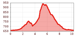
  • Elevation uphill:332 hm
  • Elevation downhill:323 hm
Highest point945 m

Starting point

St. Johann in Tirol - Center

Finishing point

St. Johann in Tirol - Center
  • Fitness level 2 / 6
  • Technique 2 / 6

Features

  • Circular route
  • Suitable for families

Best time of year

  • January
  • February
  • March
  • April
  • May
  • June
  • July
  • August
  • September
  • October
  • November
  • December

Trail condition

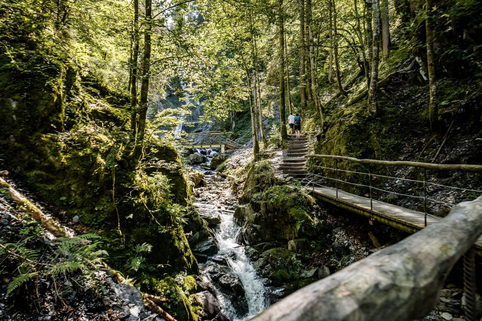
Asphalt, gravel, forest path and narrow rooted ways, steps of steel

Equipment

- outdoor clothing
- sturdy shoes
- Sufficient food and drinks
- First aid kit
- Mobile phone with full battery & charger
- Hiking map & guide literature
- GPS device or download the GPS data to your mobile phone if necessary
- Sun protection (sunglasses, sun cream, cap)
- Rain protection
- Cash
Source: Kitzbüheler Alpen Management GmbH

Description

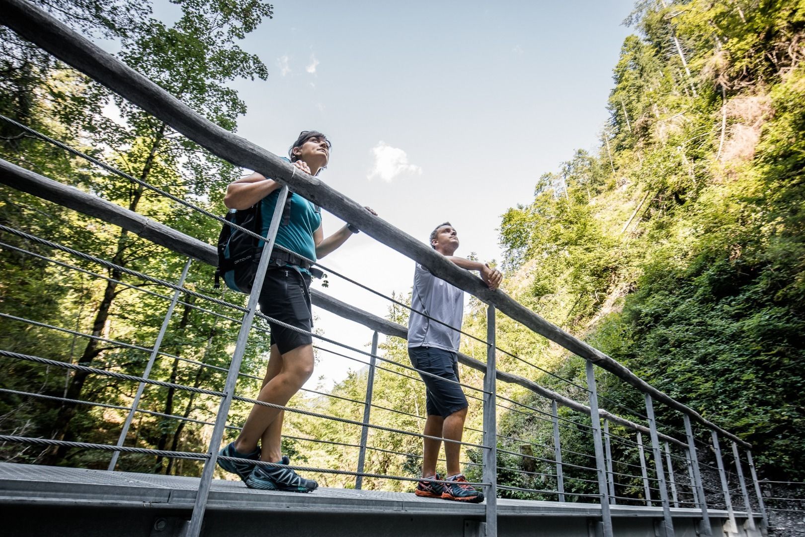
Start this hike at the Bruggbäckweg and follow Fieberbrunner Ache until the junction to Baumoos. Make a right and cross the road and the train tracks. Continue Mag. Eduard-Angererweg to its end. Along the forest you reach the forest road to Grander Schupf. After a few meters turn left, a forest trail gets you down to Theresien Chapel. Continue along a narrow gravel road, that includes bridges and steps, and climbs gently all the way to the waterfall. The trail is close enough to the fall that you can feel the spray on your cheeks. Past the waterfall there are several steps up to a trail that climbs steadily in switchbacks to a forest road. Keep to your left and hike until the Hornblicksee. Take a break and enjoy the marvelous views. Continue towards your right and down
through alpine pastures. Walk past Grander Schupf inn and take the forest trail that brings you back to St. Johann in Tirol.

Nearby huts and mountain restaurants

Getting here

  • Arrival by public transport

    Bus: Linie 4000, 4012, 4060 Bus stop: Haltestelle St. Johann in Tirol Steinlechnerplatz
    Or you can take the convenient and free Okto hiking bus from Monday to Friday in the summer months.
    Train: 201 Giselabahn Bahnhof St. Johann in Tirol

    Bus and traintimes: 
    kitzalps.cc/mobile

  • Parking

    oming from Salzburg on the B178, take the Salzburger Straße into the roundabout, take the third exit and park at the Steinlechnerplatz car park. 
    Coming from the direction of Kitzbühel on the B161, enter the roundabout and take the first exit, turn left at the next junction to the Steinlechner car park and park.

    Now it is only a few metres to the start of the hike by crossing the Großachenbrücke bridge in Kaiserstraße and continuing to Poststraße.  

    This is how you get to the St. Johann in Tirol region: www.kitzbueheler-alpen.com/en/stjo/getting-here/holidays.html
    Nearest Parking possibility:
    Parking place Steinlechnerplatz (you will have to pay a parking fee)

Weather

Today

mainly clear
17°C/7°C
5%0l5 km/h

Tue

clear sky
17°C/7°C
65%2l5 km/h

Wed

moderate rain
13°C/7°C
85%23.9l5 km/h
Go to weather forecast

More tours in the surrounding area

  • Koasa Trail Stage 3

    Difficulty:medium
    Length:19.9 kmDuration:7:10 hElevation uphill:730 m
  • Koasa Trail Stage 5

    Difficulty:medium
    Length:14.0 kmDuration:6:45 hElevation uphill:935 m
  • Koasa Trail Stage 1

    Difficulty:medium
    Length:16.9 kmDuration:6:45 hElevation uphill:937 m
  • Kaiserkrone - stage 5

    Difficulty:medium
    Length:10.8 kmDuration:5:15 hElevation uphill:840 m
  • Kaiserkrone - stage 4

    Difficulty:medium
    Length:16.1 kmDuration:6:30 hElevation uphill:640 m
  • Koasa Trail Stage 4

    Difficulty:medium
    Length:20.6 kmDuration:7:35 hElevation uphill:923 m
  • Koasa Trail Stage 2

    Difficulty:medium
    Length:11.8 kmDuration:7:15 hElevation uphill:1,078 m
  • Alpine Outdoor Gallery

    Difficulty:easy
    Length:6.7 kmDuration:2:00 hElevation uphill:117 m
  • Eifersbacher Wasserfall

    Difficulty:medium
    Length:5.9 kmDuration:2:30 hElevation uphill:241 m
  • Angerer Alm

    Difficulty:medium
    Length:5.7 kmDuration:2:45 hElevation uphill:652 m
  • The Wiegalm

    Difficulty:medium
    Length:10.5 kmDuration:4:45 hElevation uphill:680 m
  • Schafsiedel

    Difficulty:medium
    Length:15.6 kmDuration:7:00 hElevation uphill:1,280 m
  • Teufelsgasse - "Devil's Lane"

    Difficulty:medium
    Length:7.6 kmDuration:3:00 hElevation uphill:343 m
  • Bichlachrunde

    Difficulty:easy
    Length:10.5 kmDuration:3:30 hElevation uphill:295 m
Newsletter

The mountain is calling? So does our newsletter!

In our monthly newsletter we reveal the best holiday tips for Tyrol.