
Place:Sölden
:Alpine pasture / hut / mountain restaurant
BUS STOP LENZENALM --> Lenzenalm --> Nedersee junction --> NEDERKOGL --> Nedersee junction --> Lenzenalm --> BUS STOP LENZENALM
Black mountain paths are narrow, almost entirely steep and exposed paths. Anyone making their way on a black mountain path must expect longer secured walking and climbing sections.Black mountain paths are indicated on the yellow base signs with a black circle as a difficulty rating.Suitable for those free of vertigo, sure-footed and alpine experienced mountaineers;Very good physical condition, alpine experience and mountain equipment (see under Equipment), sometimes alpine safety equipment, good weather conditions recommended.
Please note the current weather report: https://www.soelden.com/de/winter/live-info/wetter/wetter-heute.html
Appropriate equipment such as breathable and weather-appropriate outdoor clothing, ankle-high hiking boots, wind, rain and sun protection, a hat, possibly gloves, is required for all hikes and routes. Carrying a first aid kit, a mobile phone, and possibly a hiking map, as well as sufficient provisions for hikes without a place to stop for food, is necessary.
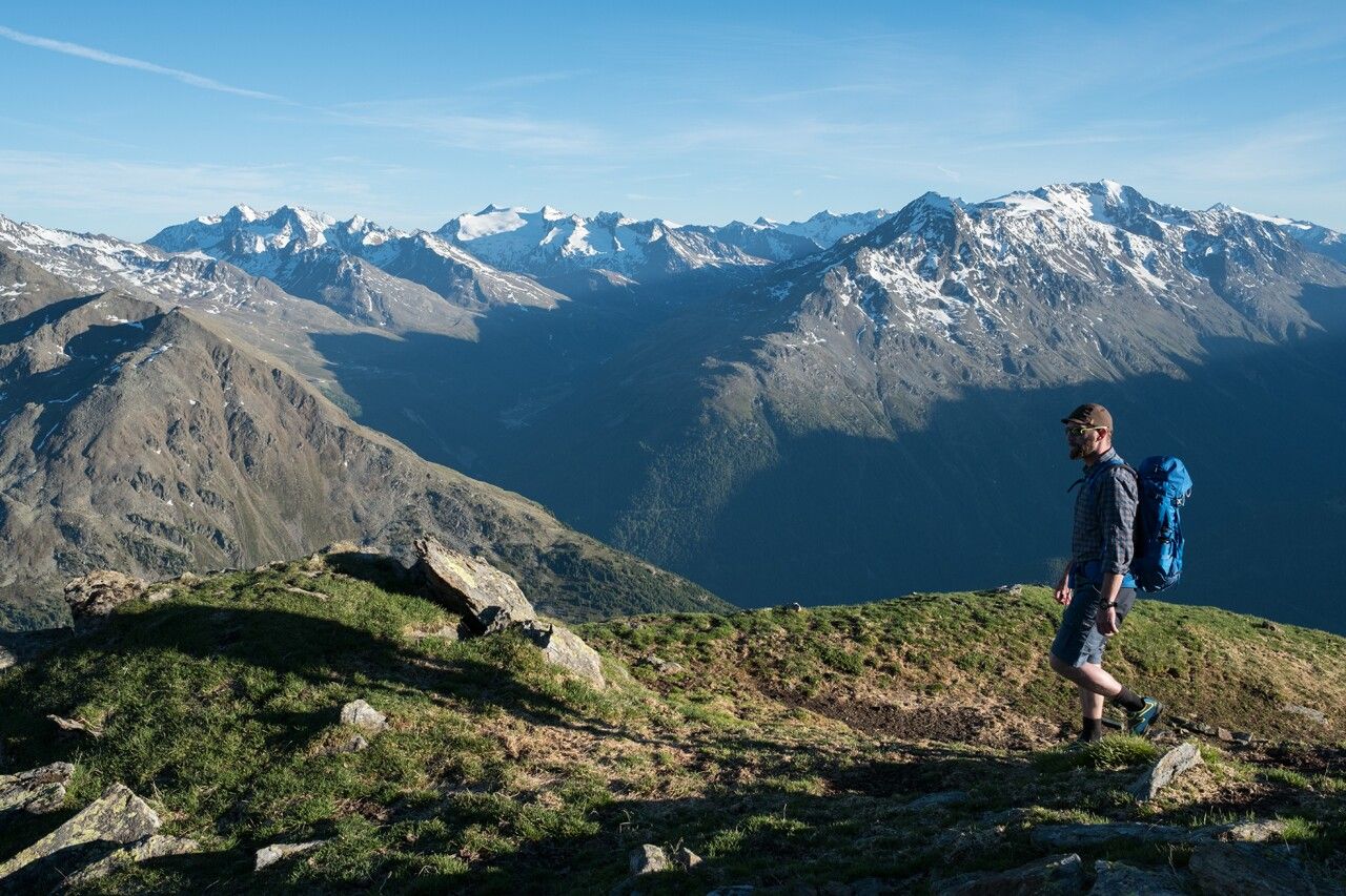
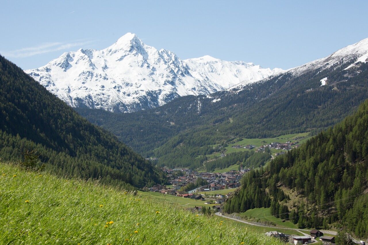
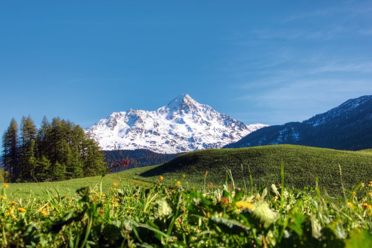
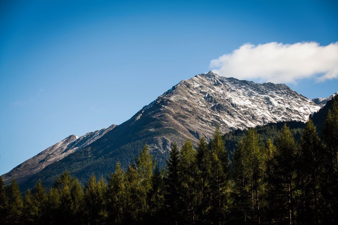
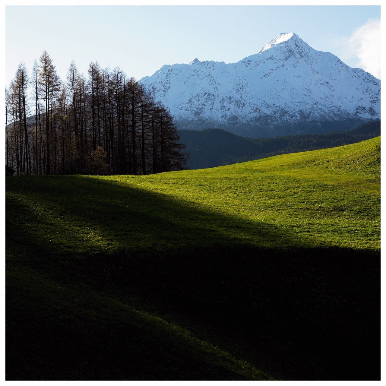
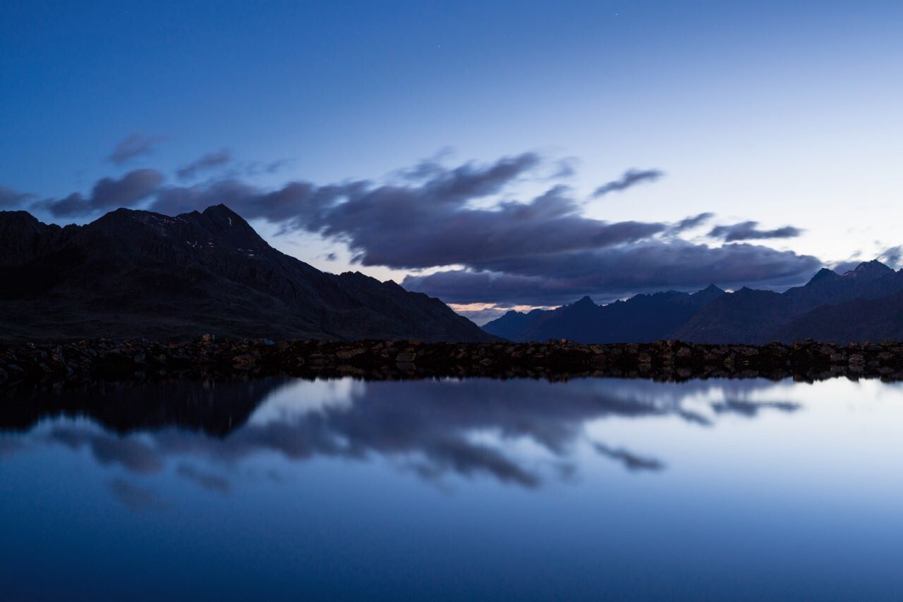
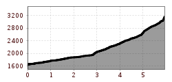
The Nederkogl is the local mountain of Sölden.It appears mighty at the valley end above Sölden. The ascent via Lenzenalm and along the junction of the Nedersee is steadily steep.
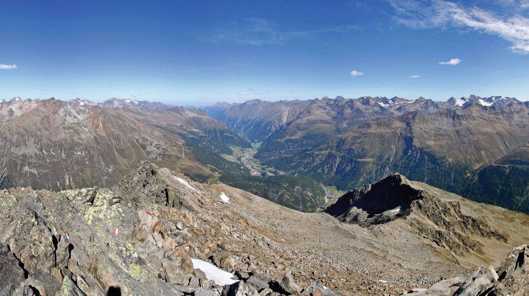
All the more, the summit rewards you with a magnificent panoramic view of the large three-thousand-meter peaks of the Ötztal and Stubai Alps.
Travel comfortably and safely by train to the Ötztal train station. The final stop or exit point is ÖTZTAL station. Afterwards, you can travel comfortably and quickly with public transport or local taxi companies throughout the valley to your desired destination. The current bus schedule is available at: fahrplan.vvt.at
The following parking options are available in Sölden:
The parking lots in Sölden are subject to a fee.


")


