
Opening hours:Open today
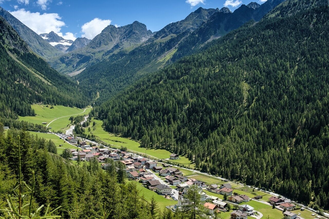
Place:Längenfeld
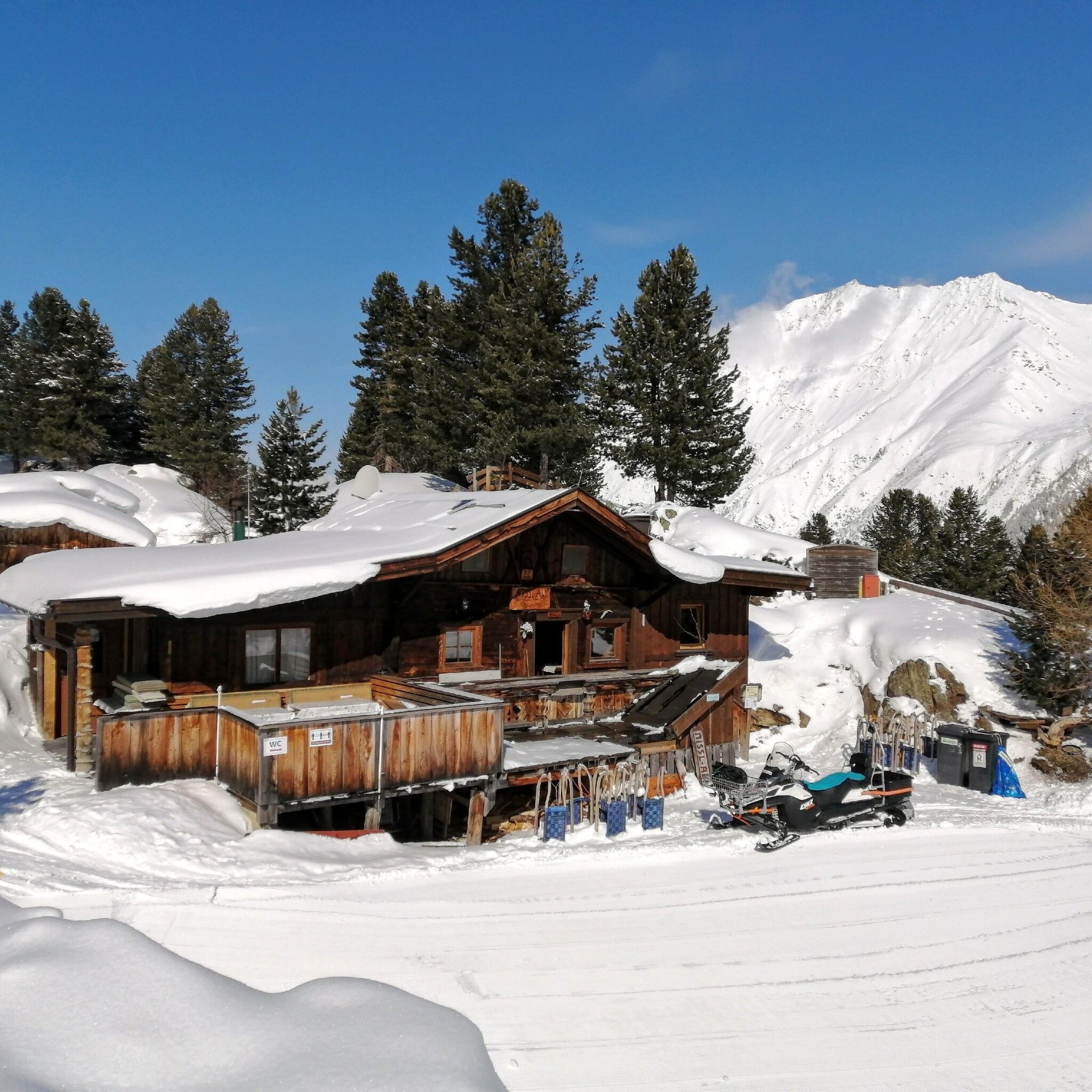
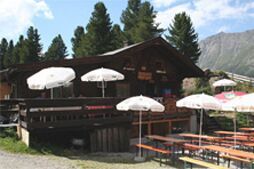
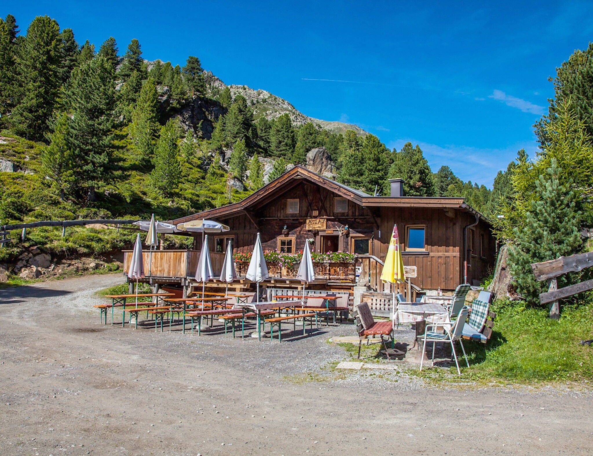
:Alpine pasture / hut / mountain restaurant
GRIES PARKING LOT -> towards Nissl Alm -> NISSL ALM Increased truck and car traffic on the entire Sulztalweg. Driving times: Trucks: Mon – Fri from 06:00 – 22:00 Cars: all day
Moderate mountain trail; suitable for sure-footed and experienced mountain hikers; good physical condition, mountain experience, and mountain equipment (see under Equipment) necessary. Please observe the current weather forecast.
Appropriate equipment such as breathable and weather-appropriate outdoor clothing is required for all hikes and routes. Bringing a first aid kit, a mobile phone, and possibly a hiking map, as well as sufficient provisions for hikes without the possibility to stop for refreshments, is necessary.
Variant 1: The hike starts from the parking lot at the end of Gries. You follow the meadows in the direction of "Vögelasbrücke". Passing it, you turn right at the crossroads after the first bends. The wide forest road leads partly through the forest, finally through alpine meadows to the rustic Nissl Alm.
Variant 2: The path starts directly from the town center. Over the Fischbachbrücke you reach the holiday home "Tiroler Hütte". Here begins the very steep shortcut path. It first leads through shady forest, then through alpine meadows to Nissl Alm.
Public transport
Travel comfortably and safely by train. The final stop or exit point is ÖTZTAL train station. Afterwards, you can travel conveniently and quickly by public bus or local taxi companies throughout the valley to your desired destination. The current bus timetable is available at: fahrplan.vvt.at
The following parking options are available in Gries:
Parking lot at the end of the village – paid


")


