
Opening hours:Open today
Place:Kelchsau
:Alpine pasture / hut / mountain restaurant
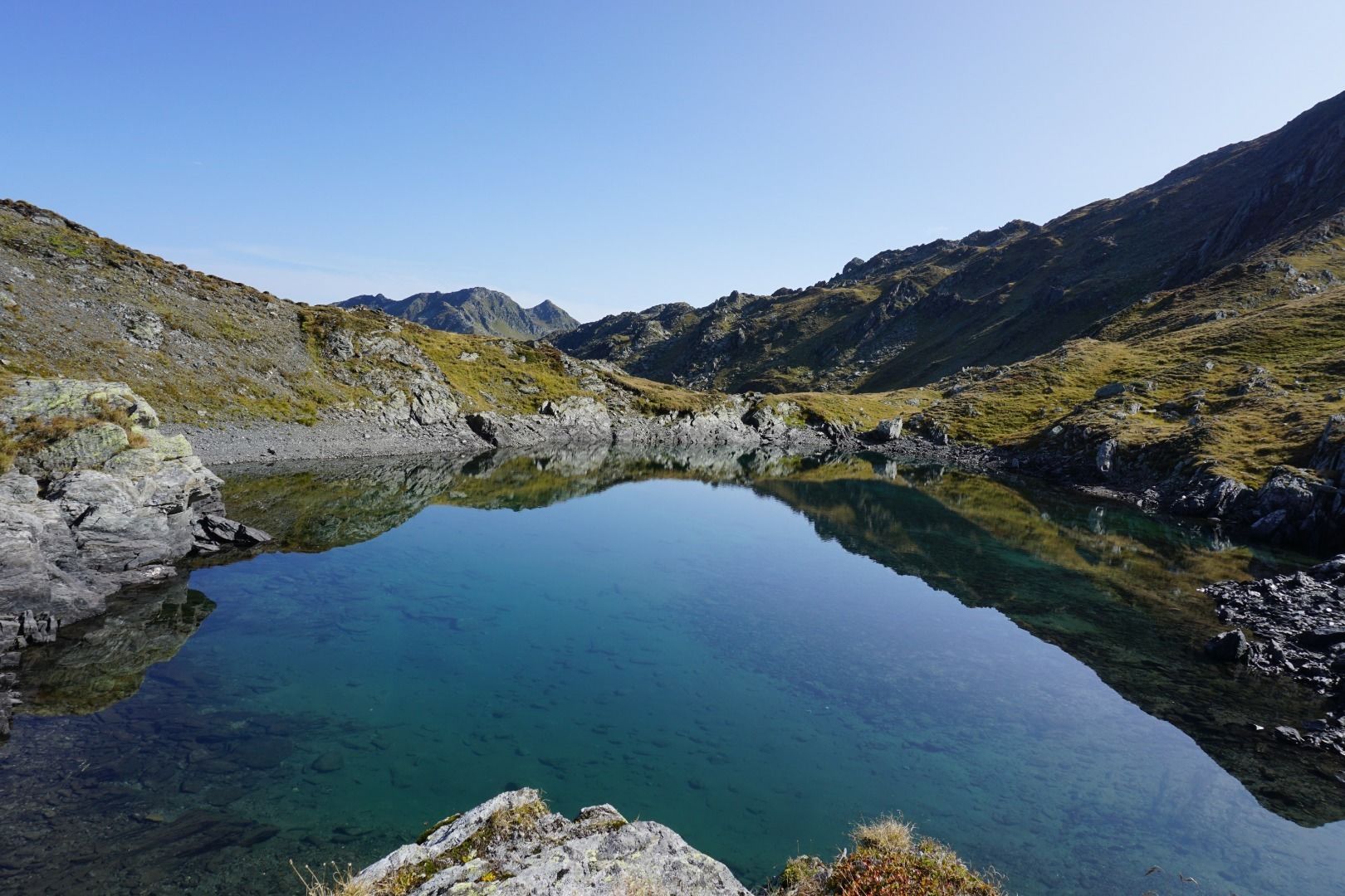
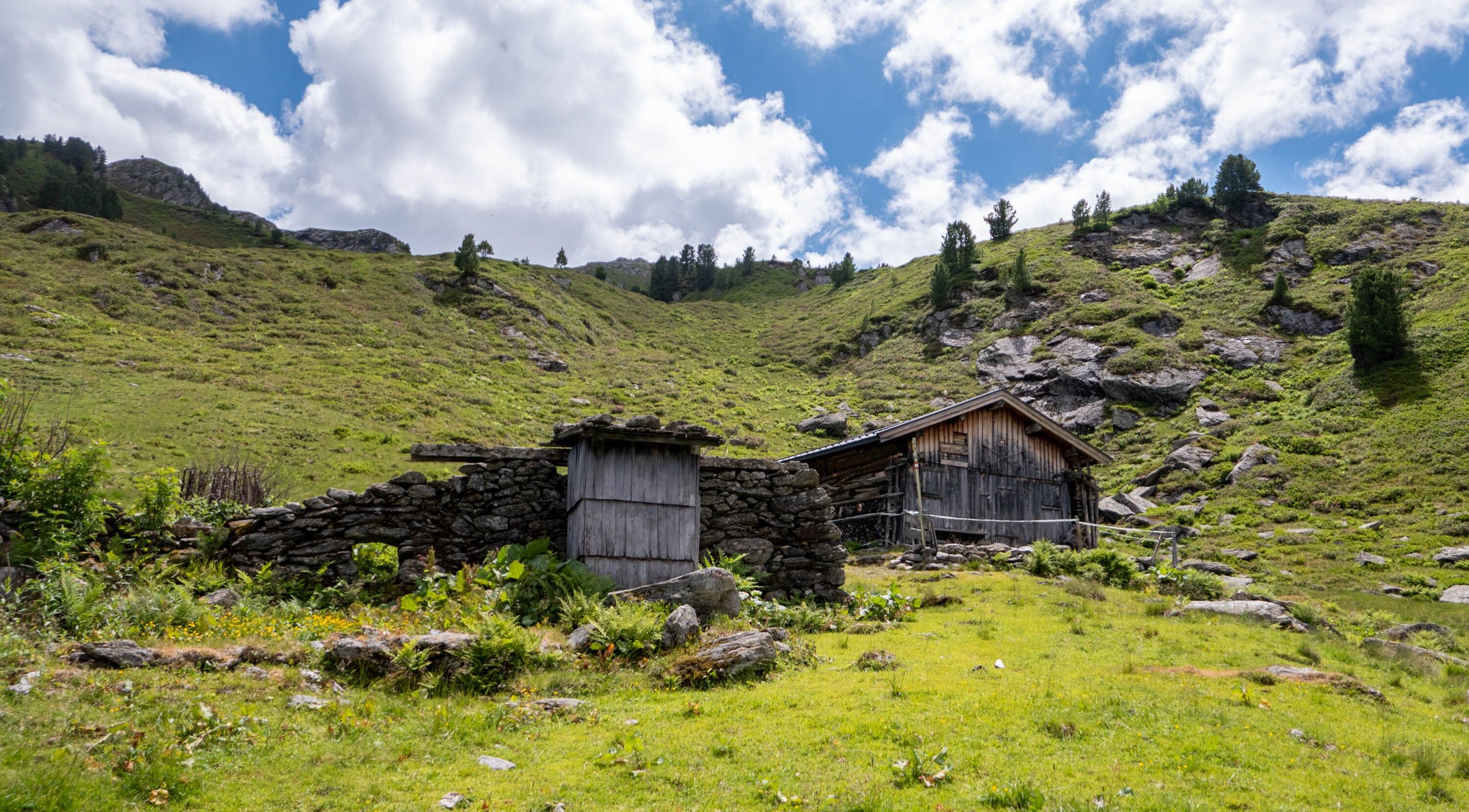
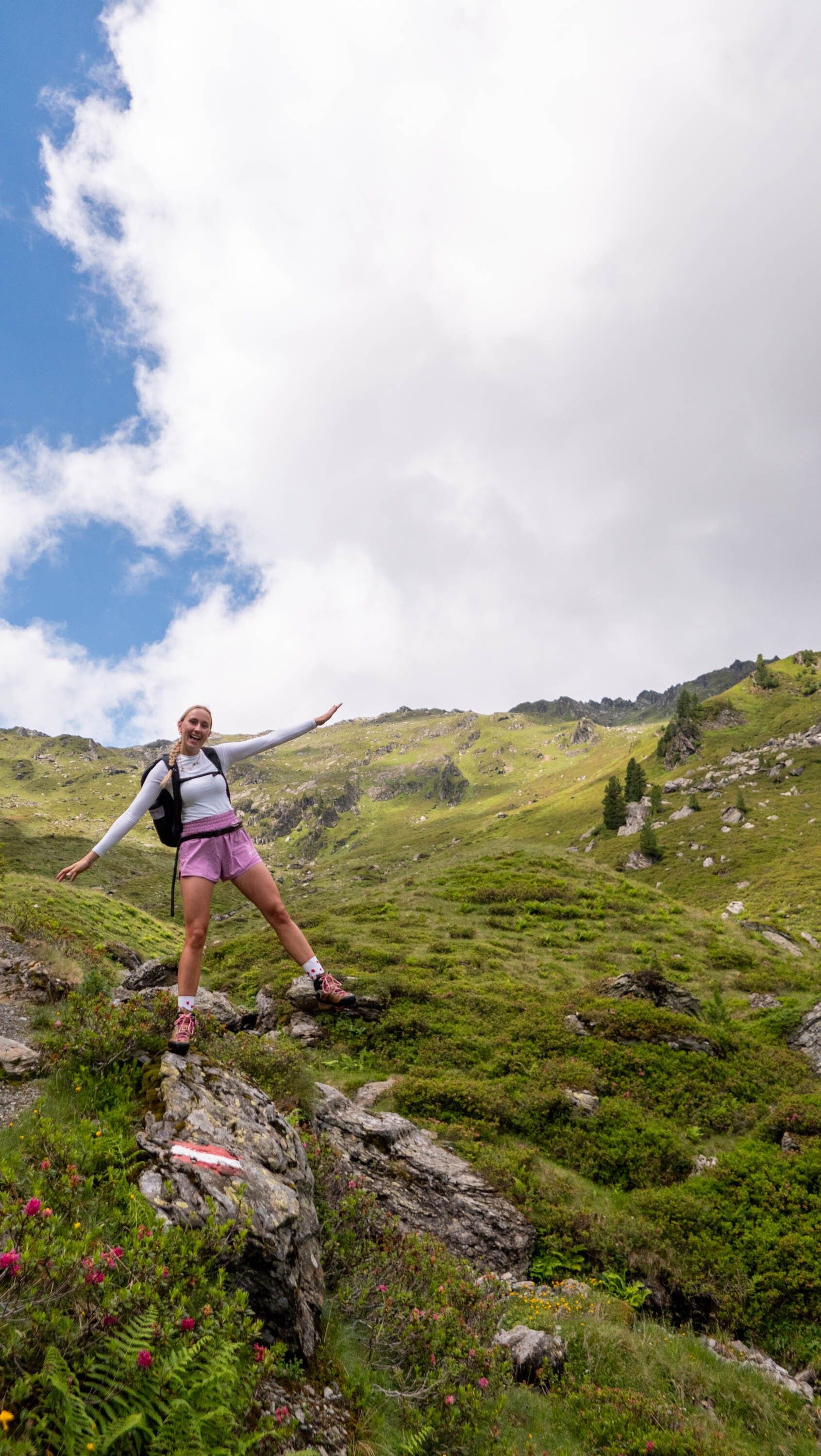
Water-rich – that's how you could describe the ascent through the Frommtal valley. Rustic alpine pastures, secluded mountain trails and a panorama that is second to none. Despite the distance, this tour is very varied and offers unique flora on all exposures of the highest mountain peaks in the Kitzbühel Alps.
Outdoor clothing, sturdy shoes
Sufficient food and drink
First aid kit
Mobile phone with full battery & charger Hiking map & guide literature
possibly GPS device or GPS data to be loaded onto the mobile phone
Sun protection (sunglasses, sun cream & cap)
Rain protection
Cash
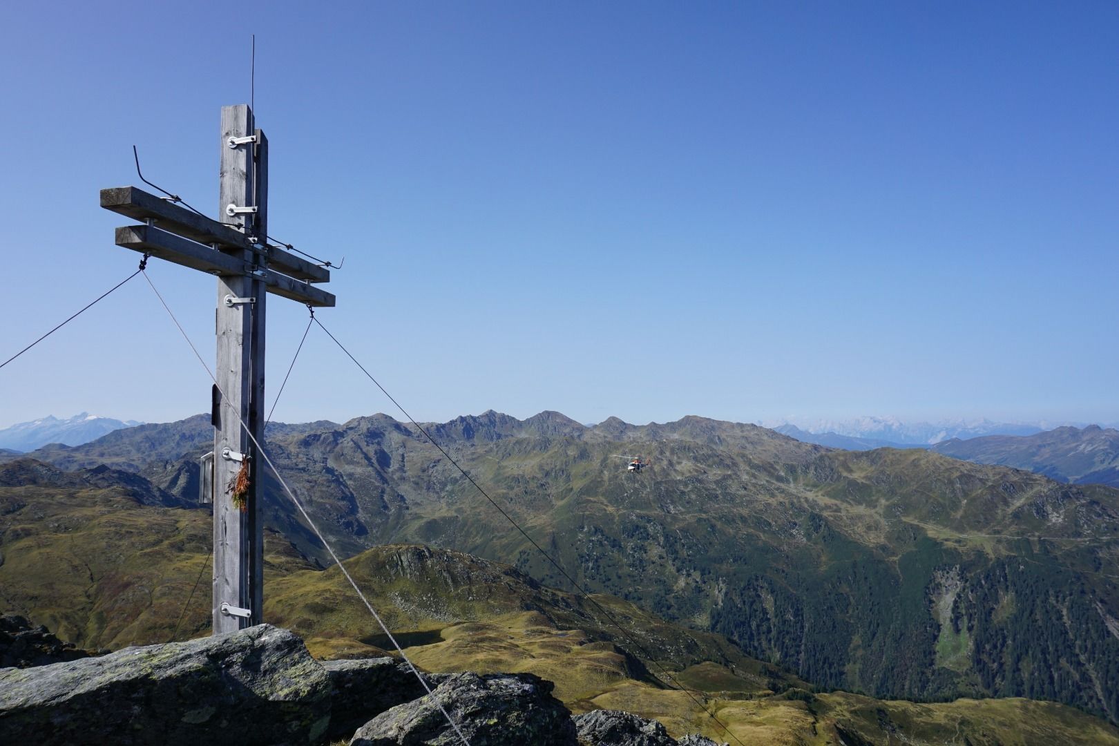
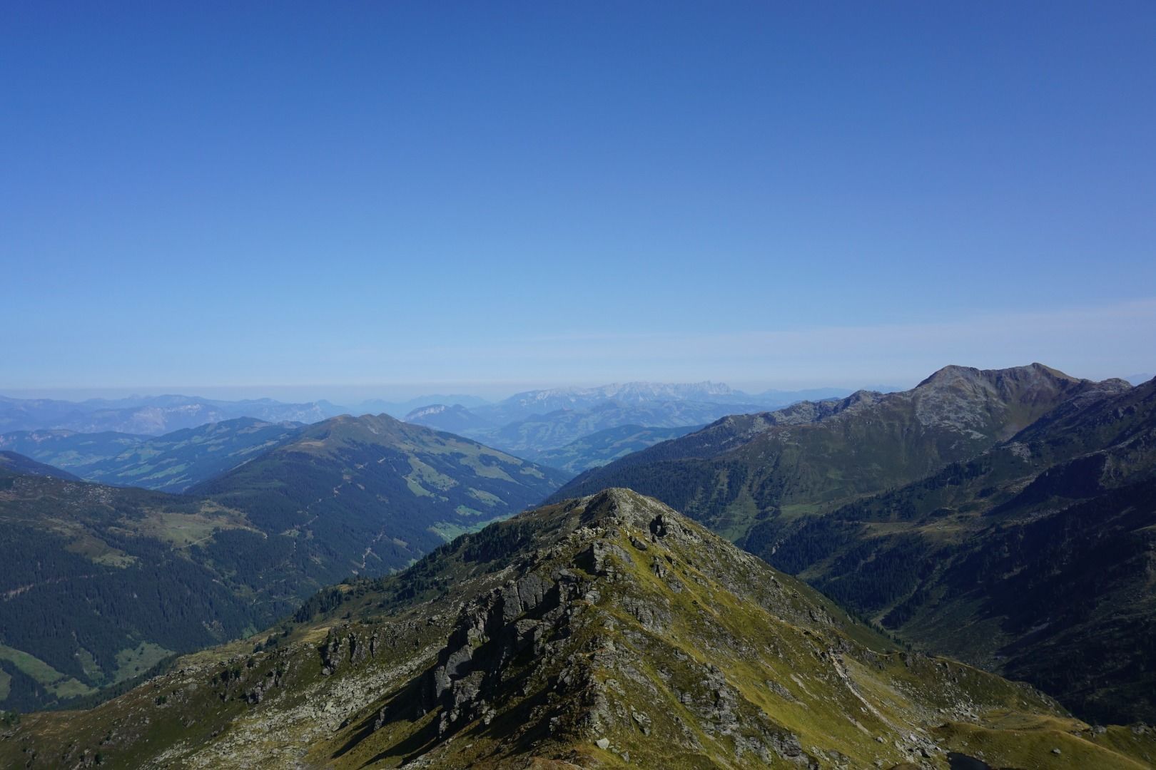
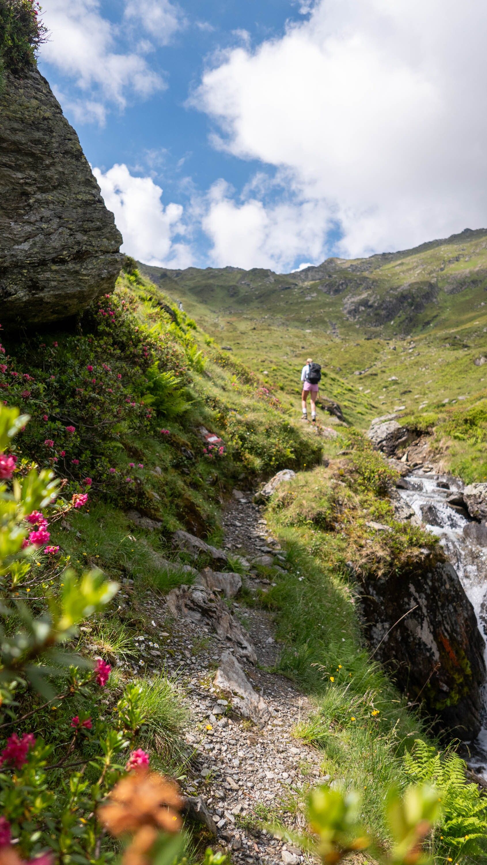
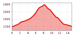
The starting point of this tour is the parking lot just before the Erla Brennhütte in Langer Grund. From there you follow the signposting no. 78 and hike into the Frommtal. Along the Frommbach you walk to the Frommalm, which is located at 1609m. Directly after the alpine pasture a mountain path starts, which leads increasingly steeper into the headwaters of the Frommbach. From the Pallscharte, continue along trail no. 78 to the Pallspitze peak (2389 m).
Back to the starting point, follow signpost no. 78 in the direction of the Erla Brennhütte (Martl Erla).
During the tour there are no rest stops, so we recommend to take enough food and drink.
bus: Steinerbrücke in the Kelchsau
train: Hopfgarten i. B. Berglift
Guest card of the region = train ticket from Wörgl to Hochfilzen + bus ticket from Mariastein to Kitzbühel
includedvalid on ÖBB local trains (S, REX) and InterRegio trains (IR) between Kirchbichl - Wörgl
and Hochfilzen.
Not valid on RJ, RJX, EC, IC, ICE, D and NJ/EN trains.
More detailed information: www.hohe-salve.com/mobility
http://www.hohe-salve.com/mobility
http://www.oebb.at/free parking at Erla Brennhütte


.jpg")


.jpg")


.jpg")
.jpg")


")

.jpg")
