
Opening hours:Open today
Place:Pertisau am Achensee
:Alpine pasture / hut / mountain restaurant
From Pertisau to Feilalm and Gütenbergalm: 2 cosy huts, 590m elevation gain, ca. 2 hours 15 minutes ascent, lake view from Feilalm and mountain views from Gütenbergalm, return via the same route.
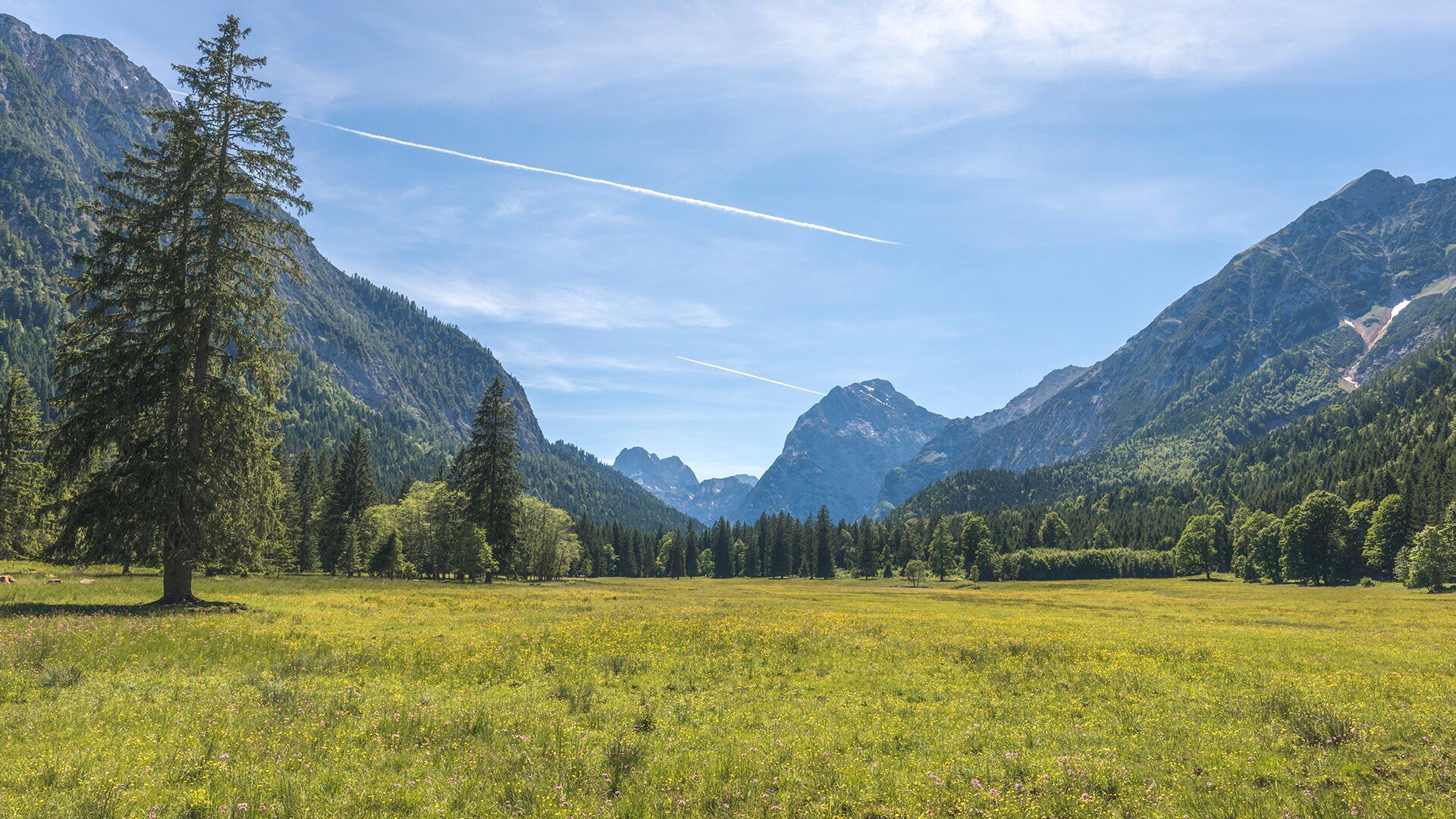
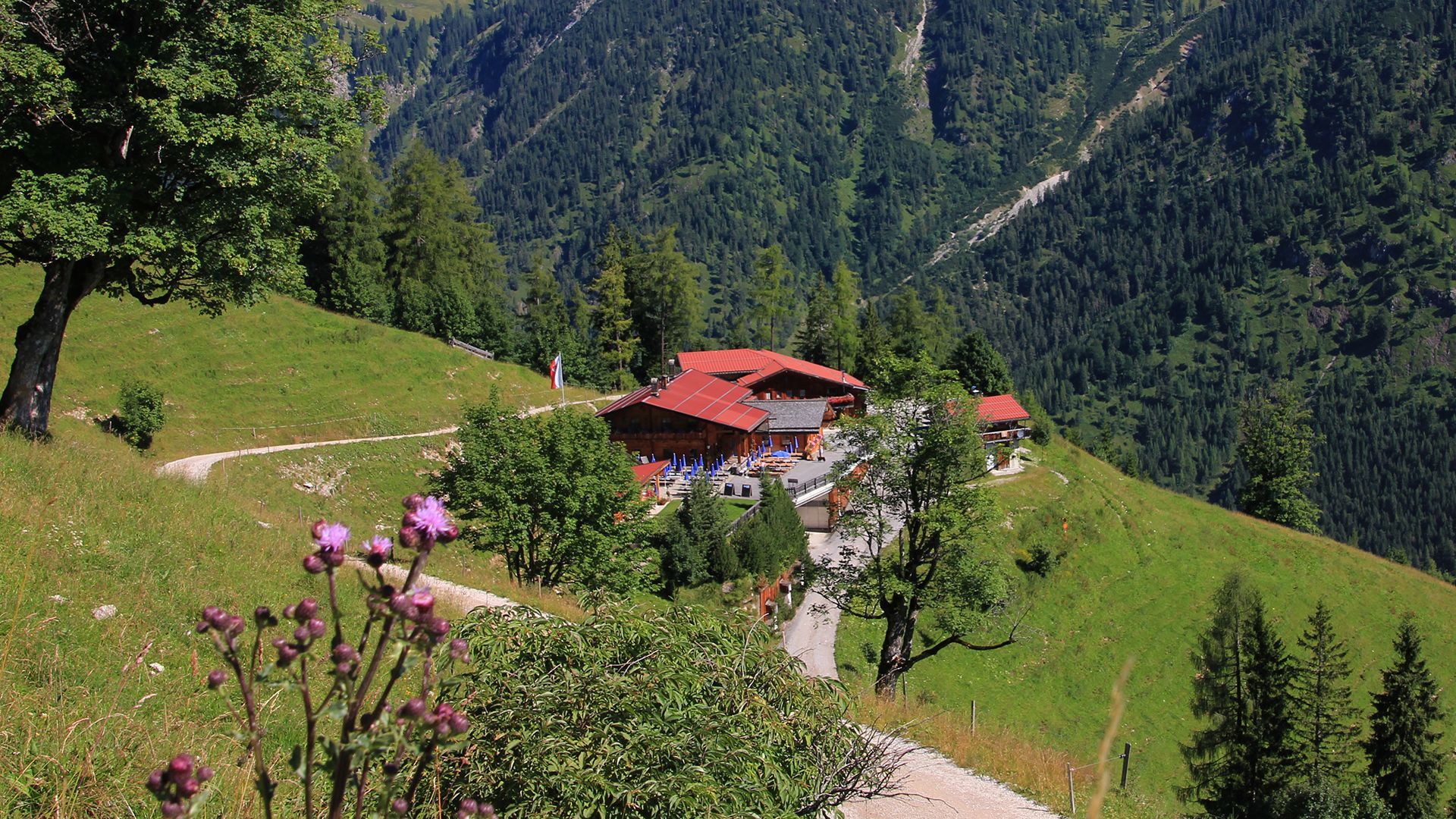
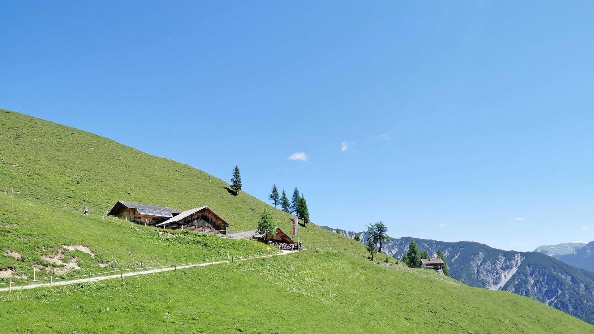
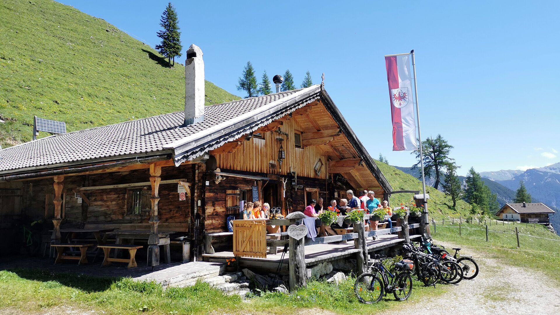
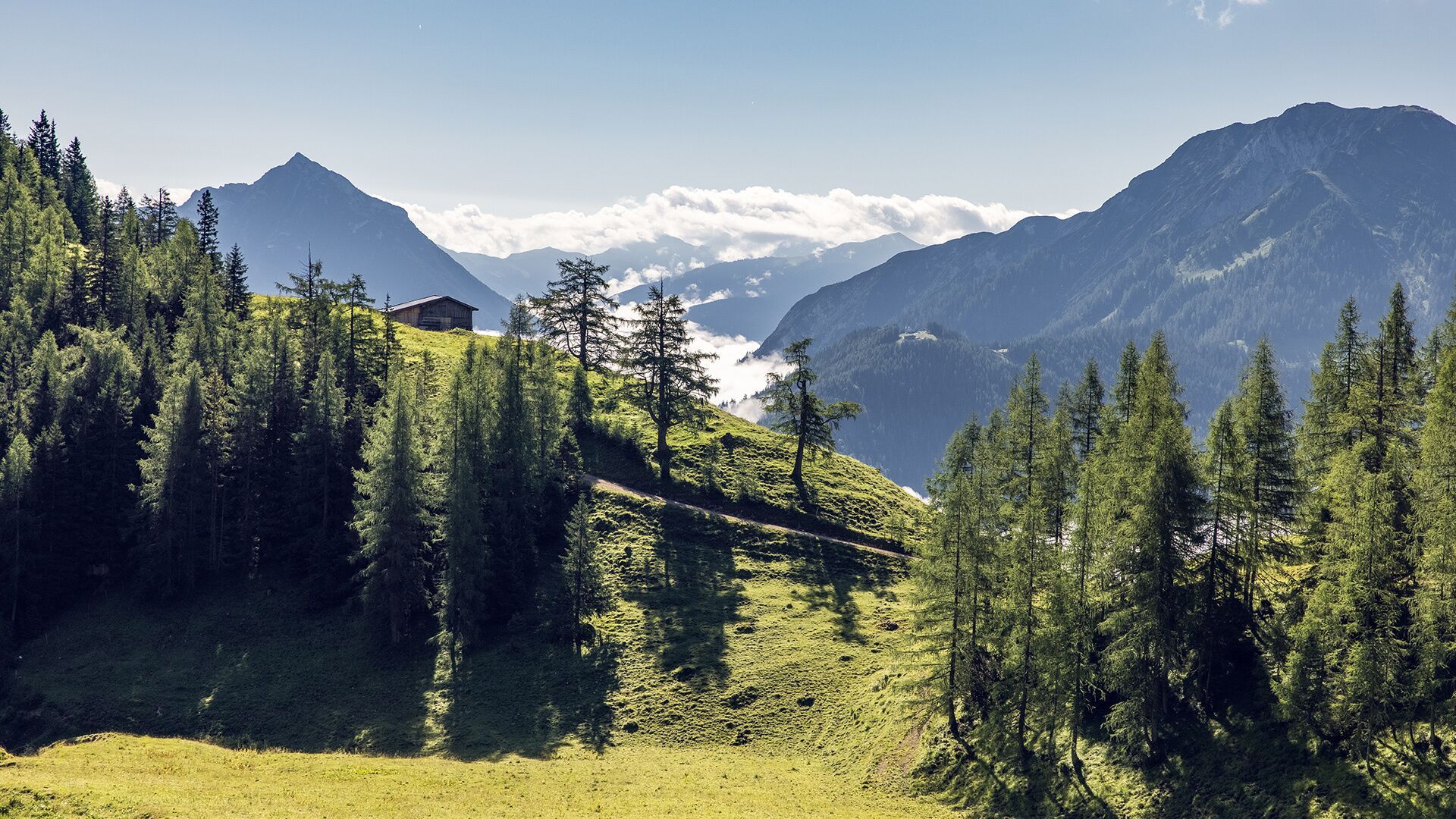
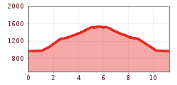
From the toll booth at the entrance to the Karwendel valleys in Pertisau, follow the toll road straight on in a westerly direction to the Gerntal. After ca. 20 minutes there is a signpost to the Feilalm on the left next to the road. Climb the trail in the direction of the Feilalm until you reach the forest road. Follow the signpost to the Feilalm (1,380 metre). Behind the mountain hut, follow the forest road to the Gütenbergalm (1,545 metre). The return is via the same route.
Take the regional bus (lines 8332 or 390) to Pertisau and get off at the "Pertisau Karwendeltäler" stop.
Car park Karwendeltäler in Pertisau (paid parking)


")


")


 neu.jpg")

.jpg")

 (1).jpg")


