Mountain hikes Rotes Kinkele

Innervillgraten / Villgratner Berge
Difficulty ratings: difficult
Route length: 13.0 km
Duration: 6:00 h

Rotes Kinkele

Tour information

  • Requirement: difficult
  • Length: 13.0 km
  • Duration: 6:00 h
  • Elevation uphill:1,360 hm
  • Elevation downhill:1,340 hm
Highest point2,730 m

Starting point

Dorfzentrum Innervillgraten

Finishing point

Rotes Kinkele
  • Fitness level 5 / 6
  • Technique 5 / 6

Best time of year

  • January
  • February
  • March
  • April
  • May
  • June
  • July
  • August
  • September
  • October
  • November
  • December
Source: Hochpustertal

Description

From the centre of the town on route 327 along Einetbach, passing the Taletalmen up to the Schmidhofalm and continuing into the valley for around 600 m to the big stone (route marker). Bear left there and follow path 18, then via a steep pastureland trail until you meet path 1 near Remesseen, which comes from the Kamelisenalm. Follow route 1 which proceeds steeply up to the summit of the Rotes Kinkele. The route from Remesseen is only recommended for proficient hikers.


Getting here

  • Arrival by public transport

    Mit dem Bus bis zur Haltestelle "Innervillgraten Dorf"
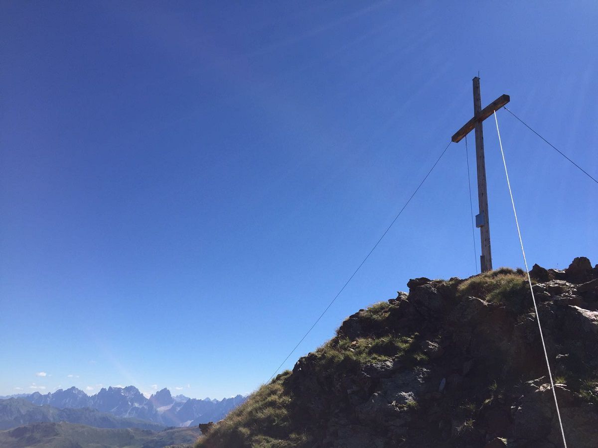
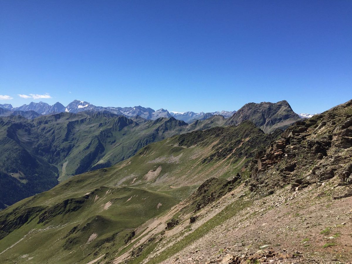
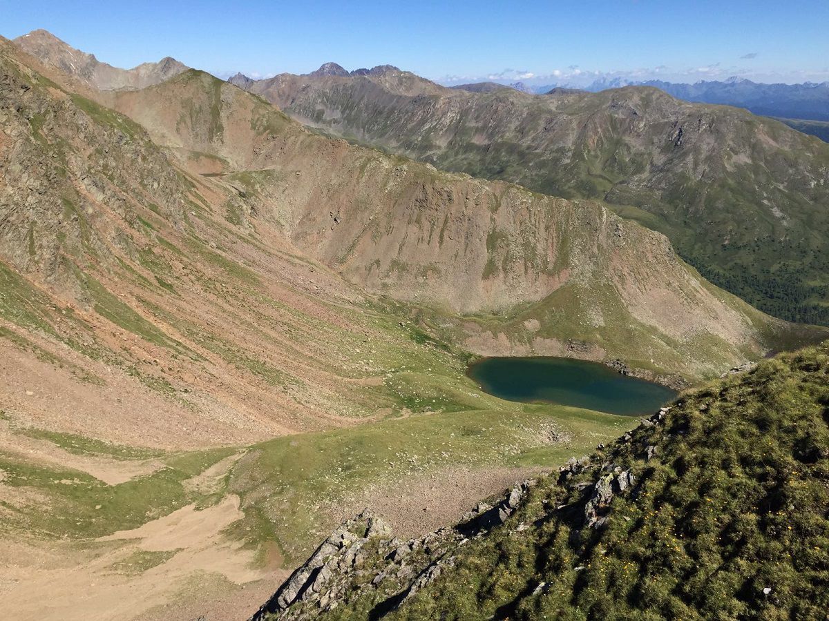
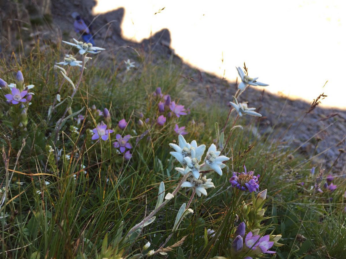
  • Parking

    Parkplatz Zentrum Innervillgraten

More tours in the surrounding area

Newsletter

The mountain is calling? So does our newsletter!

In our monthly newsletter we reveal the best holiday tips for Tyrol.