
Opening hours:Today closed
Place:Alpbach
:Alpine pasture / hut / mountain restaurant
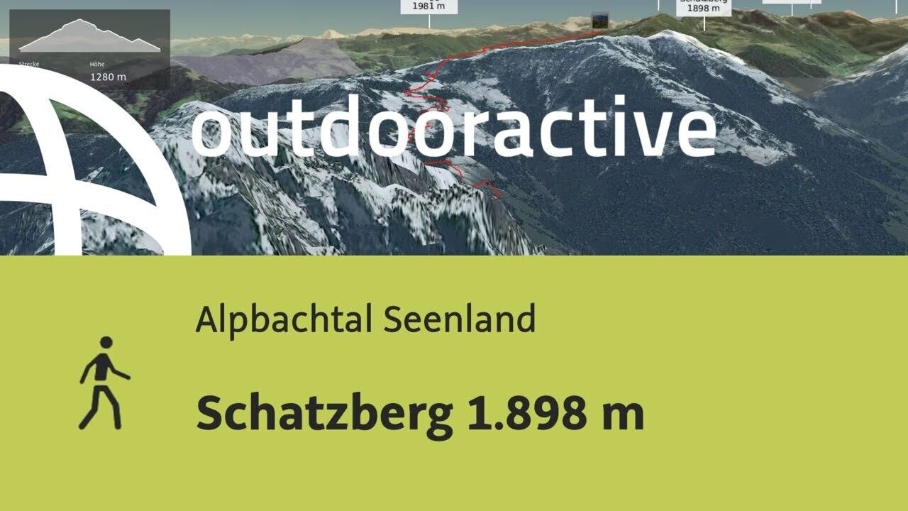
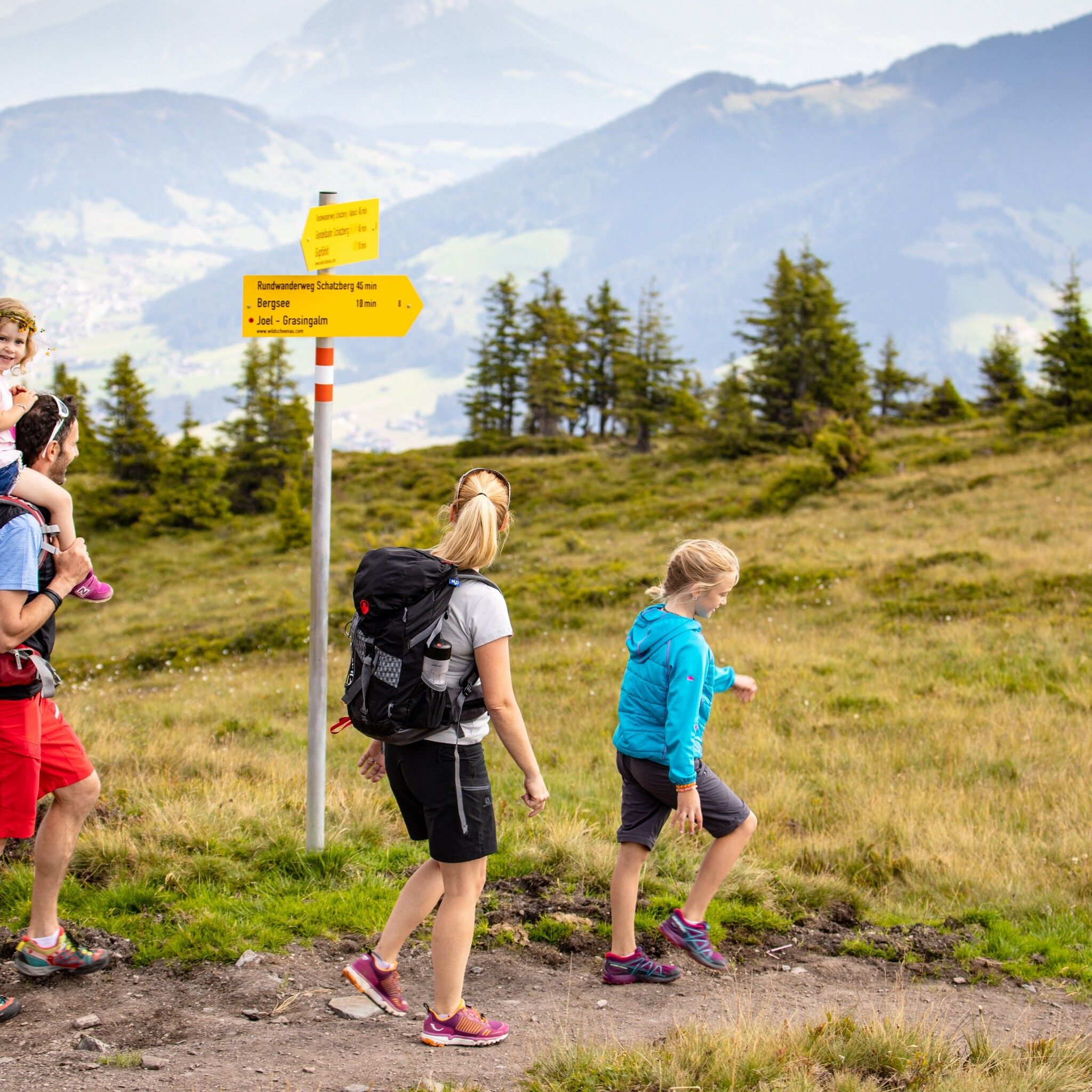
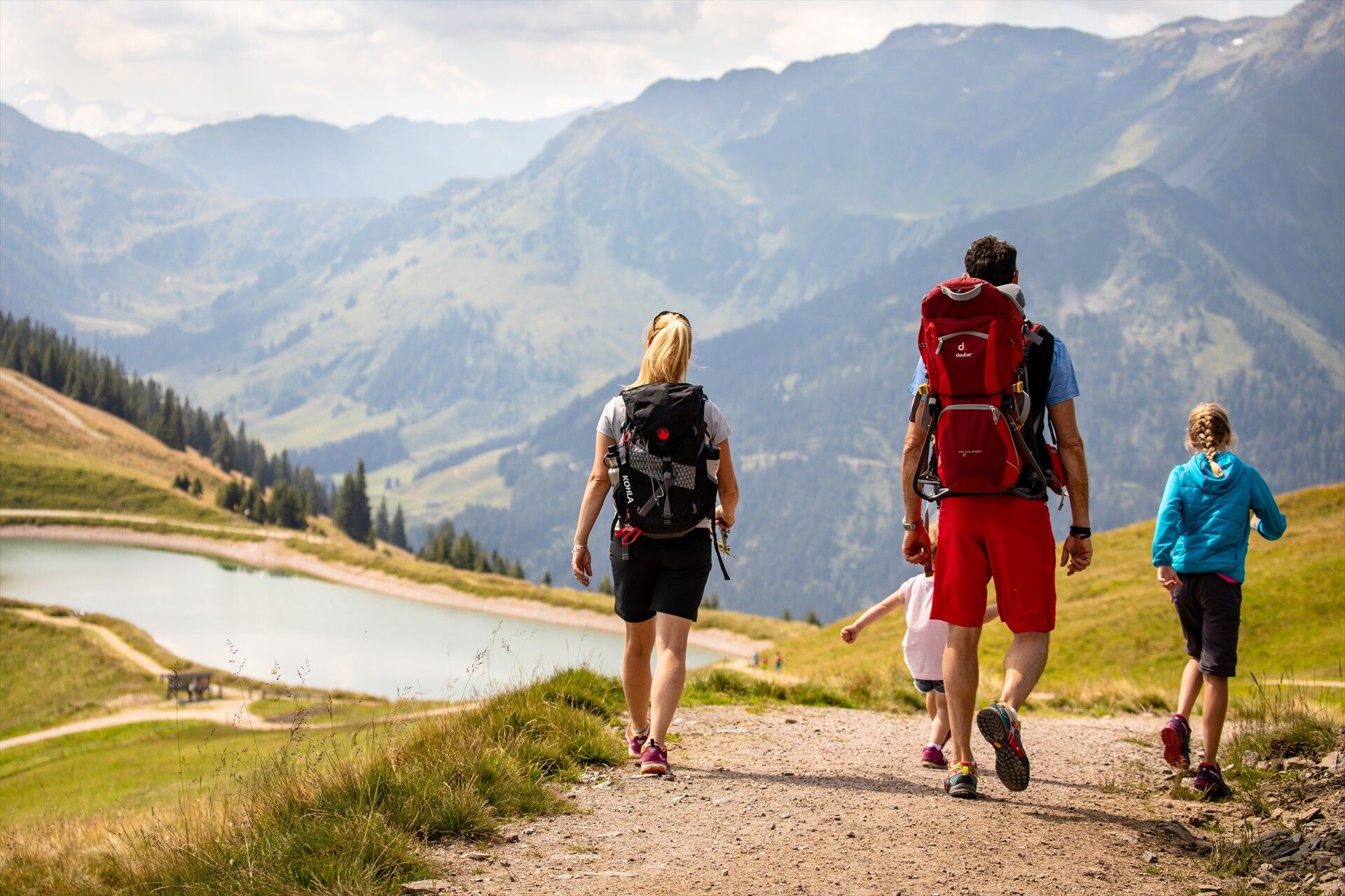
Hike over forest roads and alpine paths, past beautiful alpine pastures to the summit of the Schatzberg

sturdy shoes and weatherproof clothing
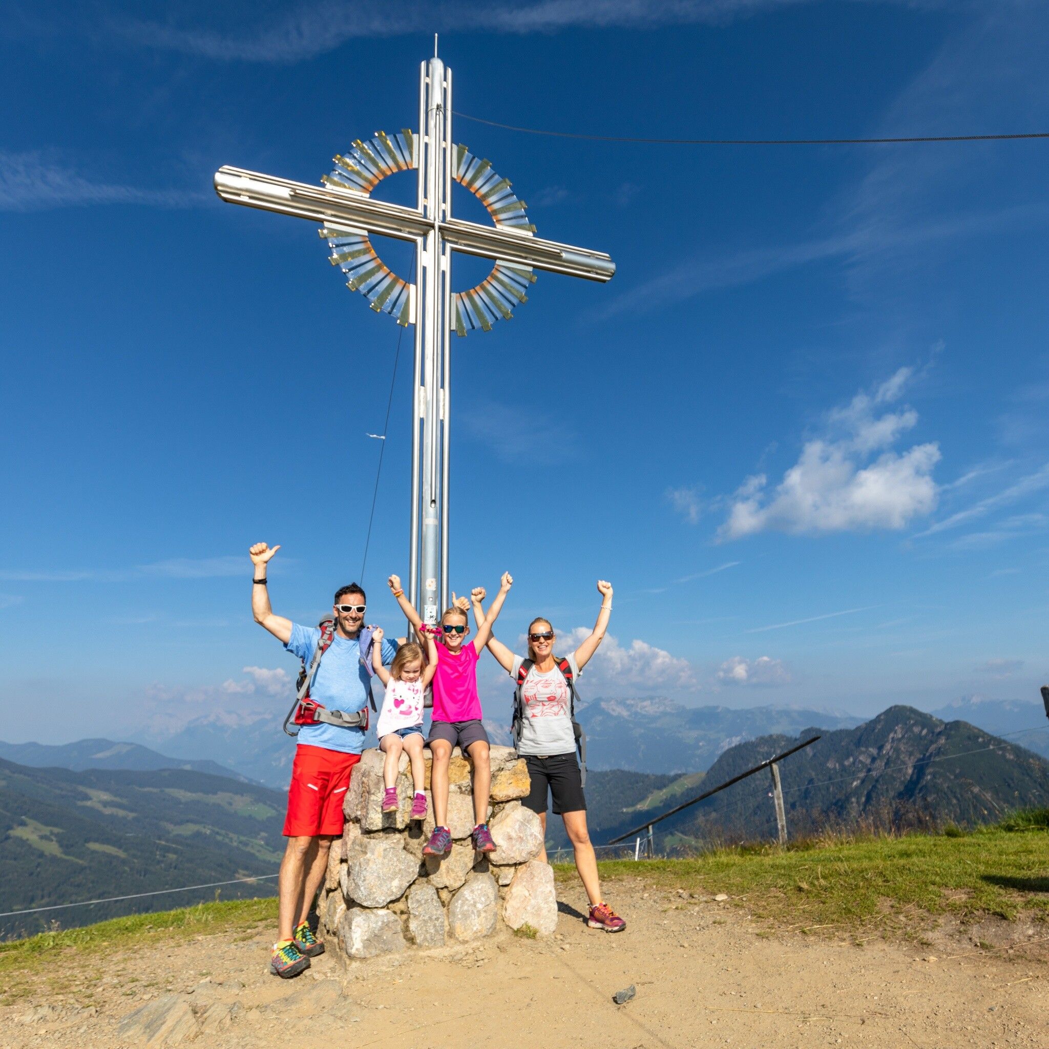
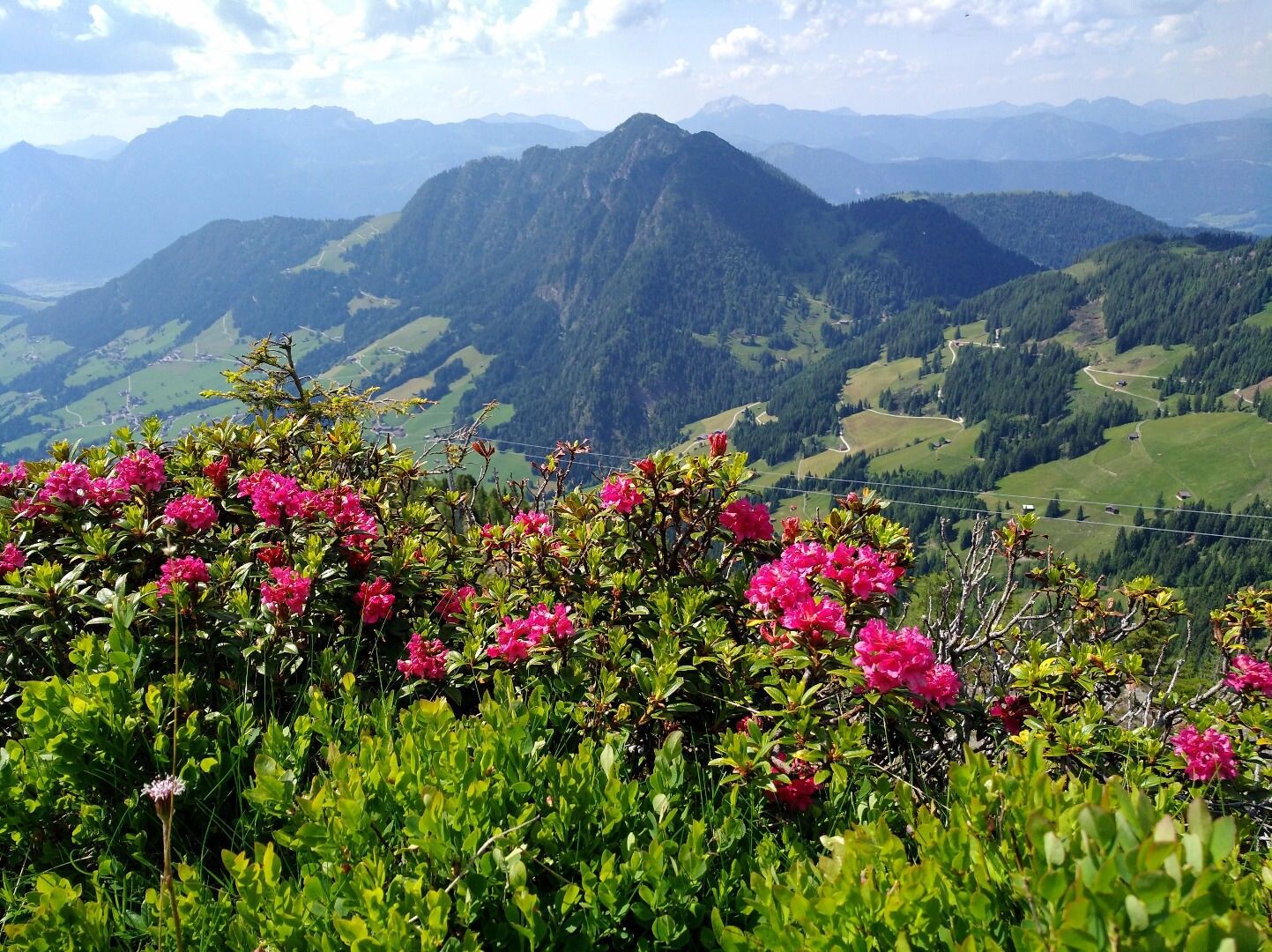
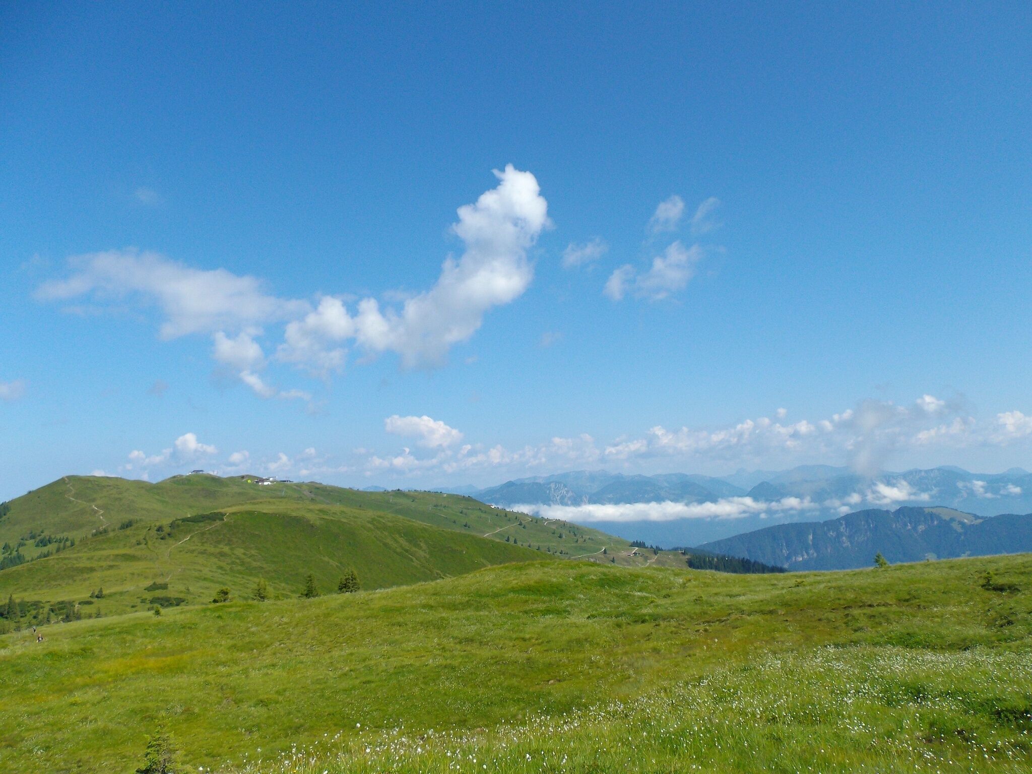
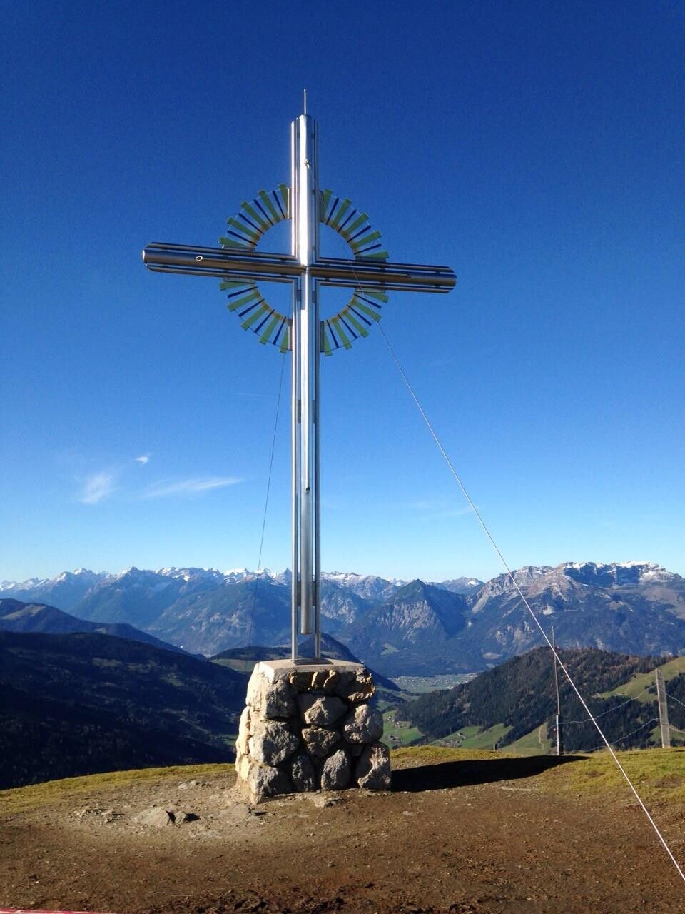
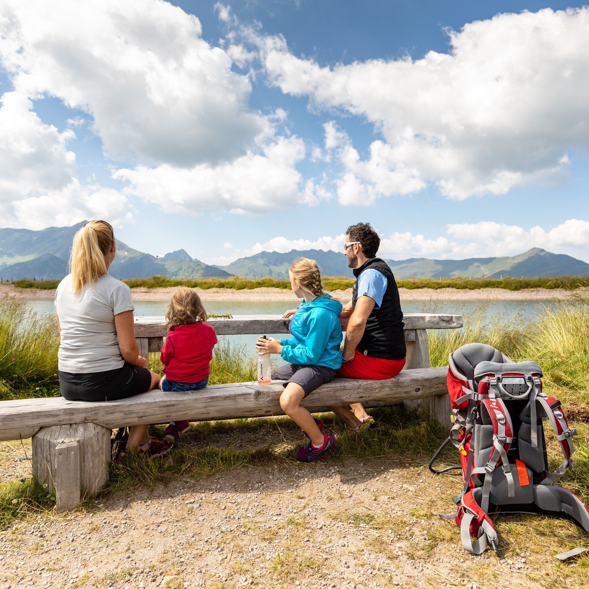
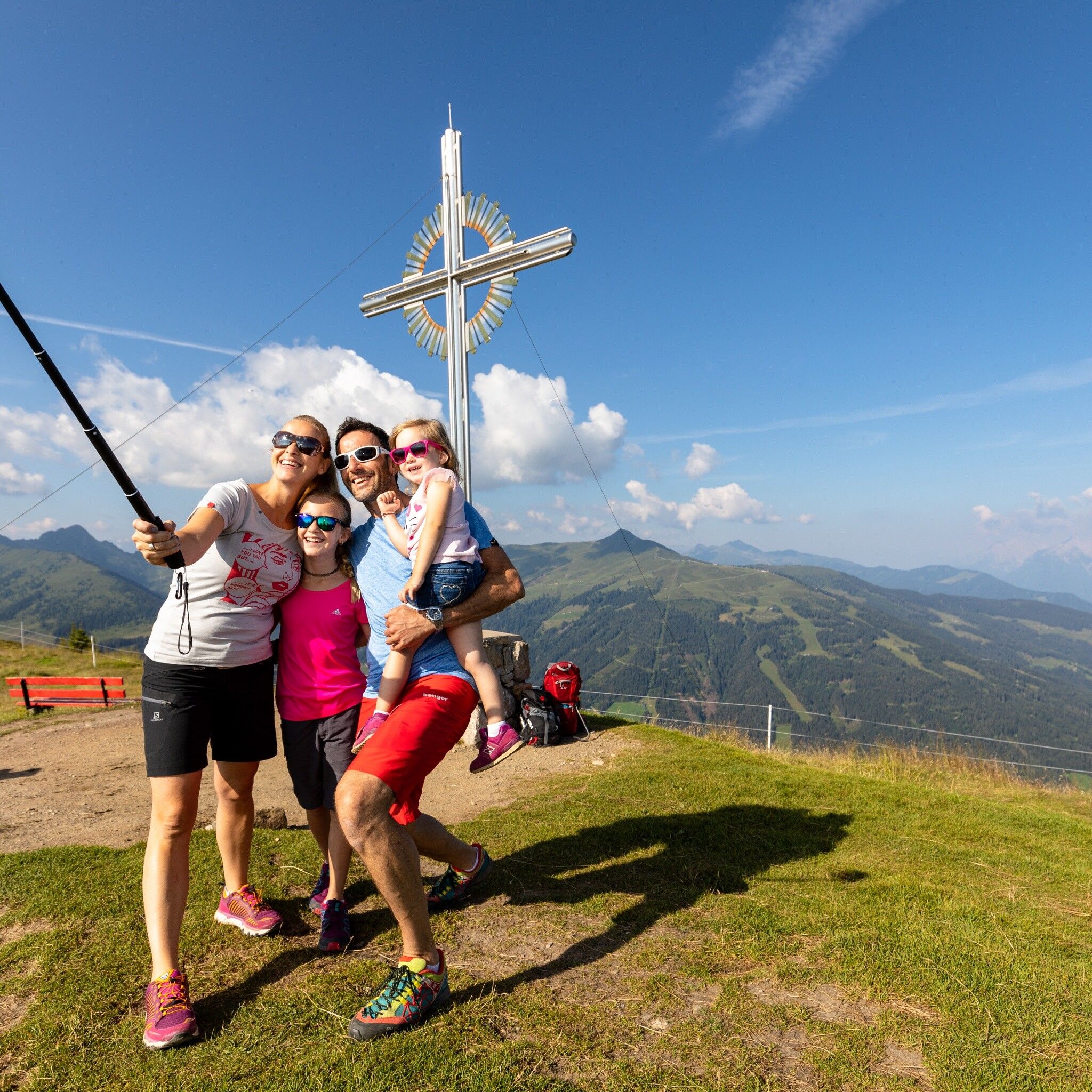
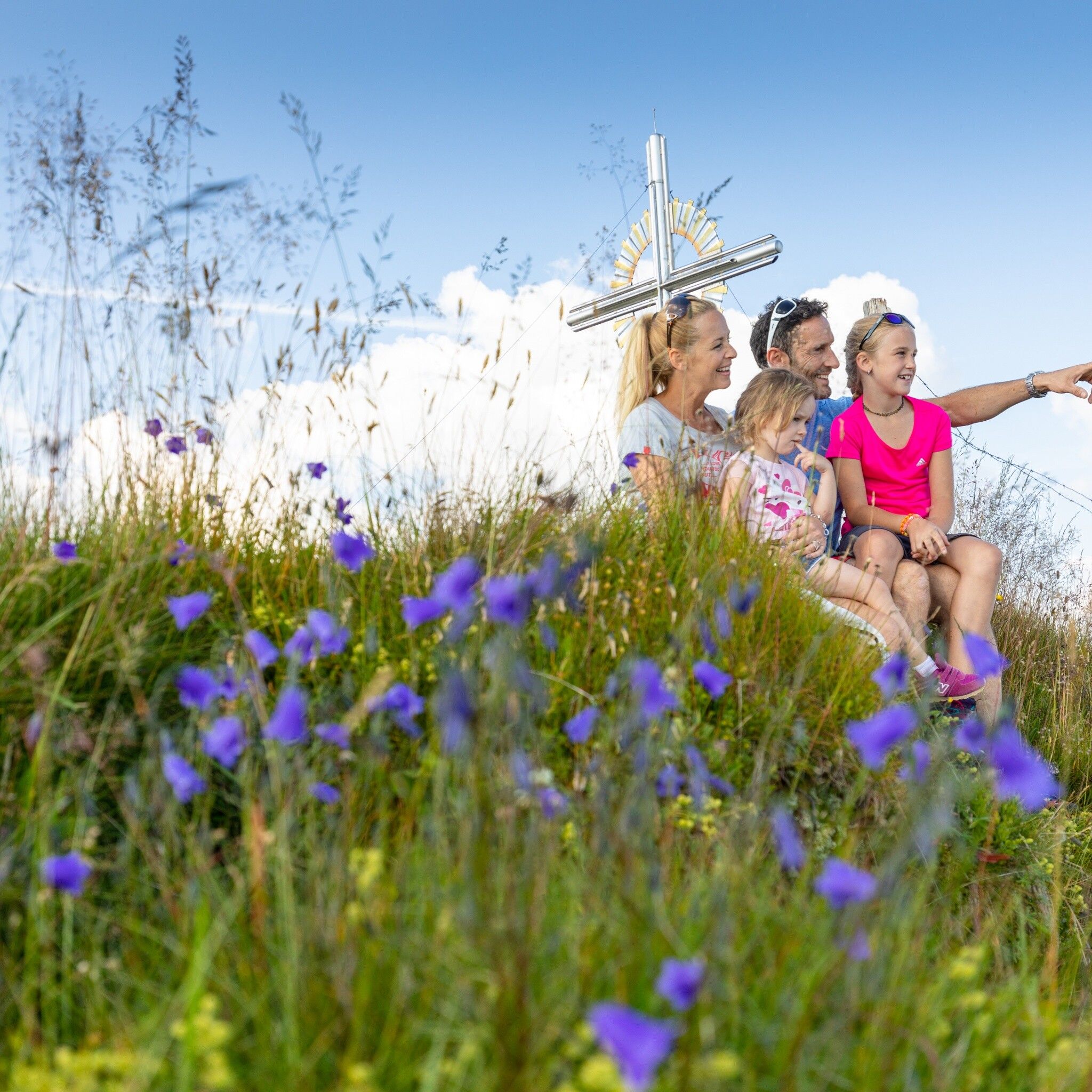
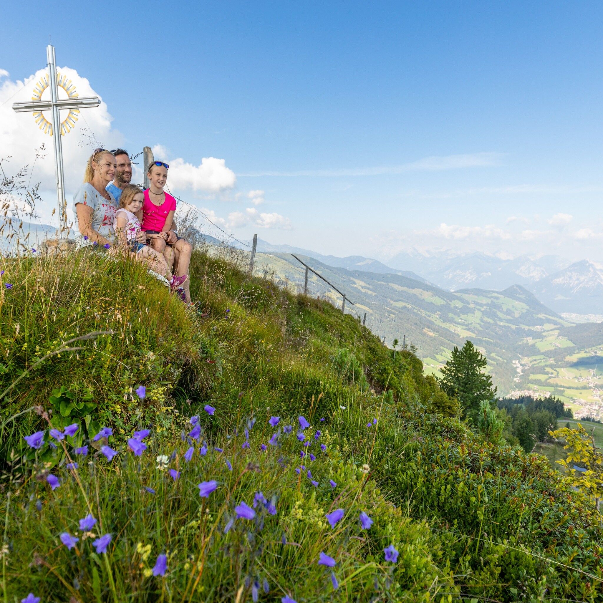
The mountain route to the Schatzberg starts in Alpbach. From the car park above Jausenstation Oberthaler, follow the forest road and the signposting "Schatzberg" to Zottaalm. Here a path leads over alpine meadows to the Schatzbergalm (mountain station Schatzbergbahn) then continue for about 30 min to the summit. You will be rewarded with a magnificent view over the Alpbachtal and Wildschönau. The beautiful summit cross with the mountain panorama in the background and you in the foreground is definitely worth a snapshot.
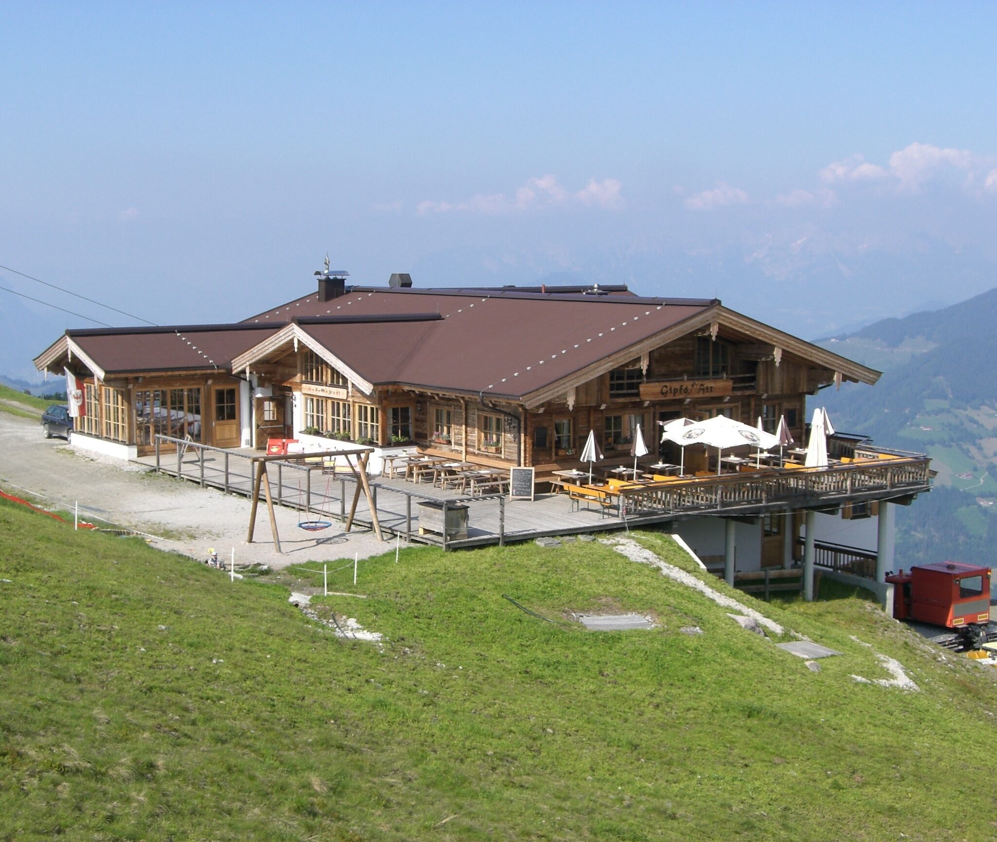
Directly below the summit is the Gipfö Hit. The sun terrace at the mountain restaurant invites you to linger here!
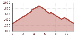
Allow about 2 hours and 30 minutes for the ascent and about 2 hours for the return journey. The return route is on the same track!
only possible up to Alpbach village
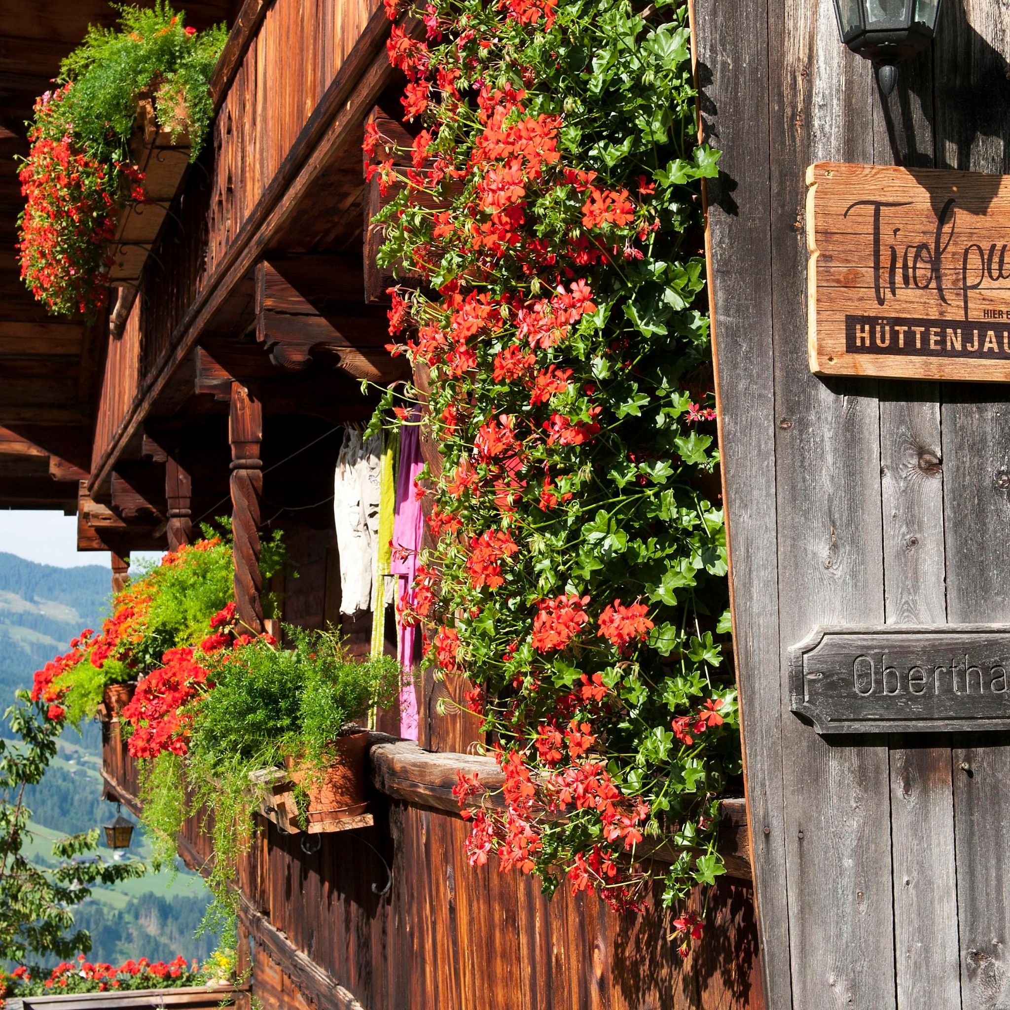
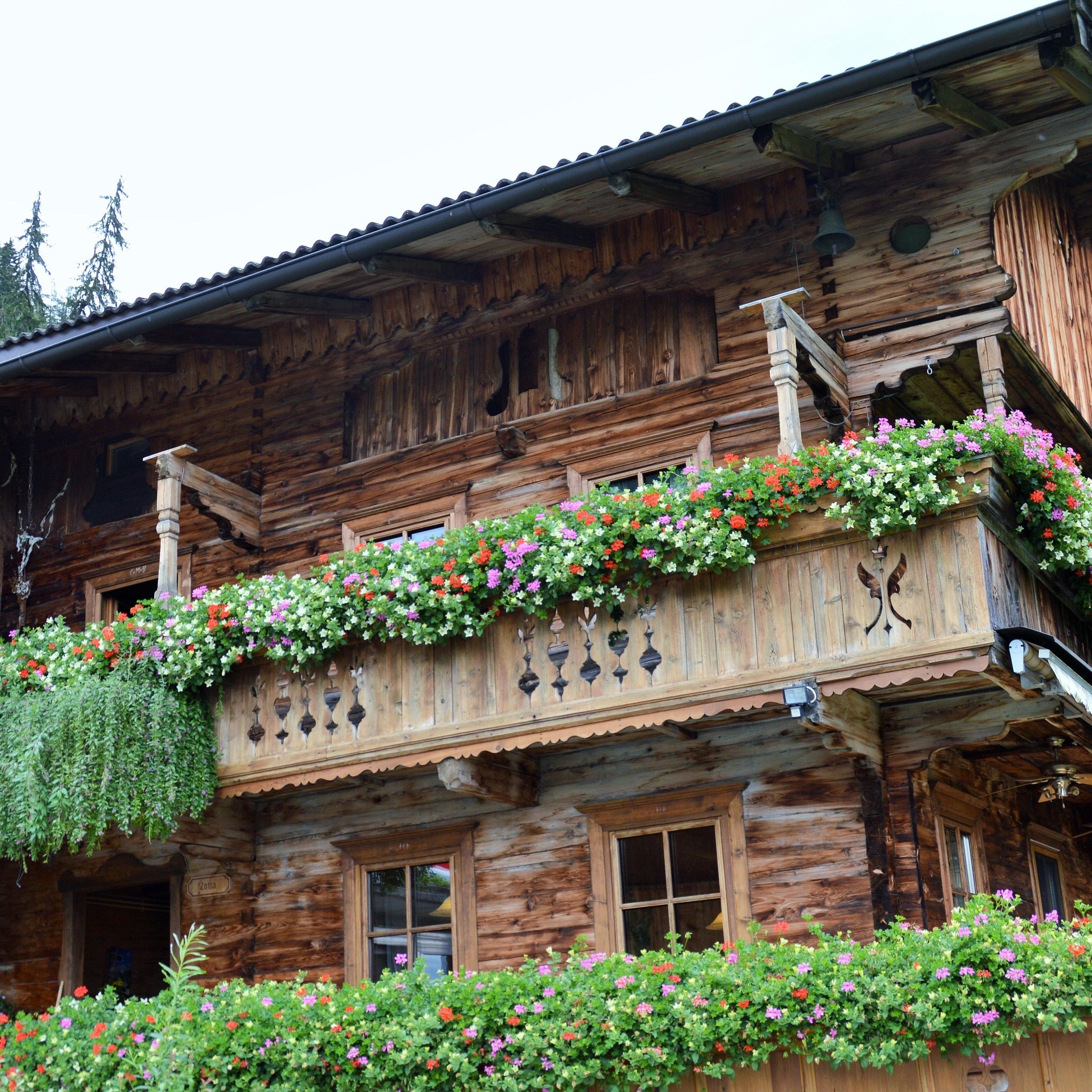
Car park Oberthaler


")


