
Opening hours:Open today
Place:Steinberg am Rofan
:Restaurant
Easy hike, 7.7km, 370 metres elevation gain, walking time approx. 1.5 hours. Return via trail or road possible. Nice view of Steinberg after the Enterhof and shortly before reaching the Durrahof.
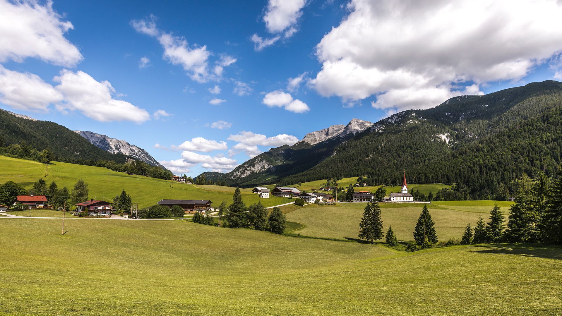
From the inn "Gasthof Waldhäusl", follow the village road to the parish church Steinberg. With the church to the left, continue for ca. 500 metres until you reach the hayloft. Turn left and follow the road straight on. The path joins a small steep trail which takes you to the so-called “Loch”. Walk over the bridge and continue along the asphalt road to the Enterhof (not serviced) and Durrahof (not serviced). Alternatively, turn right after the bridge and follow the trail as it climbs to a meadow above the Enterhof and then turns right to the Durrahof. The return is via the same route or via the asphalt road.
Take the regional bus (line 4080 towards Achenkirch, change to line 7801 to Steinberg am Rofan) and get off at the stop "Steinberg a. R. Abzw Waldhäusl". The inn Gasthof Waldhäusl is located nearby.
Car park Waldhäusl in Steinberg am Rofan (paid parking)


.jpg")


.jpg")


")


