
Opening hours:Open today
Place:Matrei in Osttirol
:Restaurant, Alpine pasture / hut / mountain restaurant
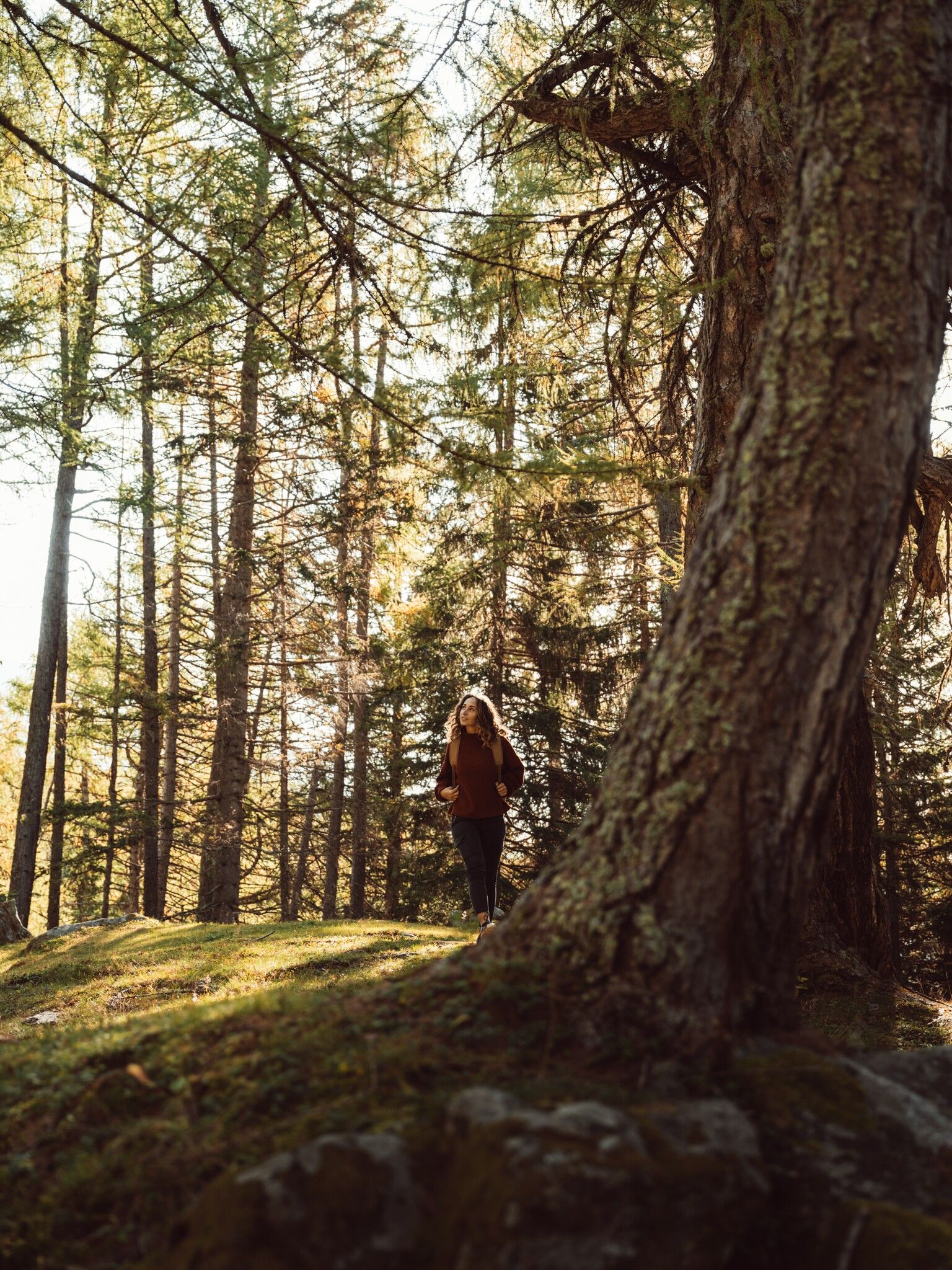
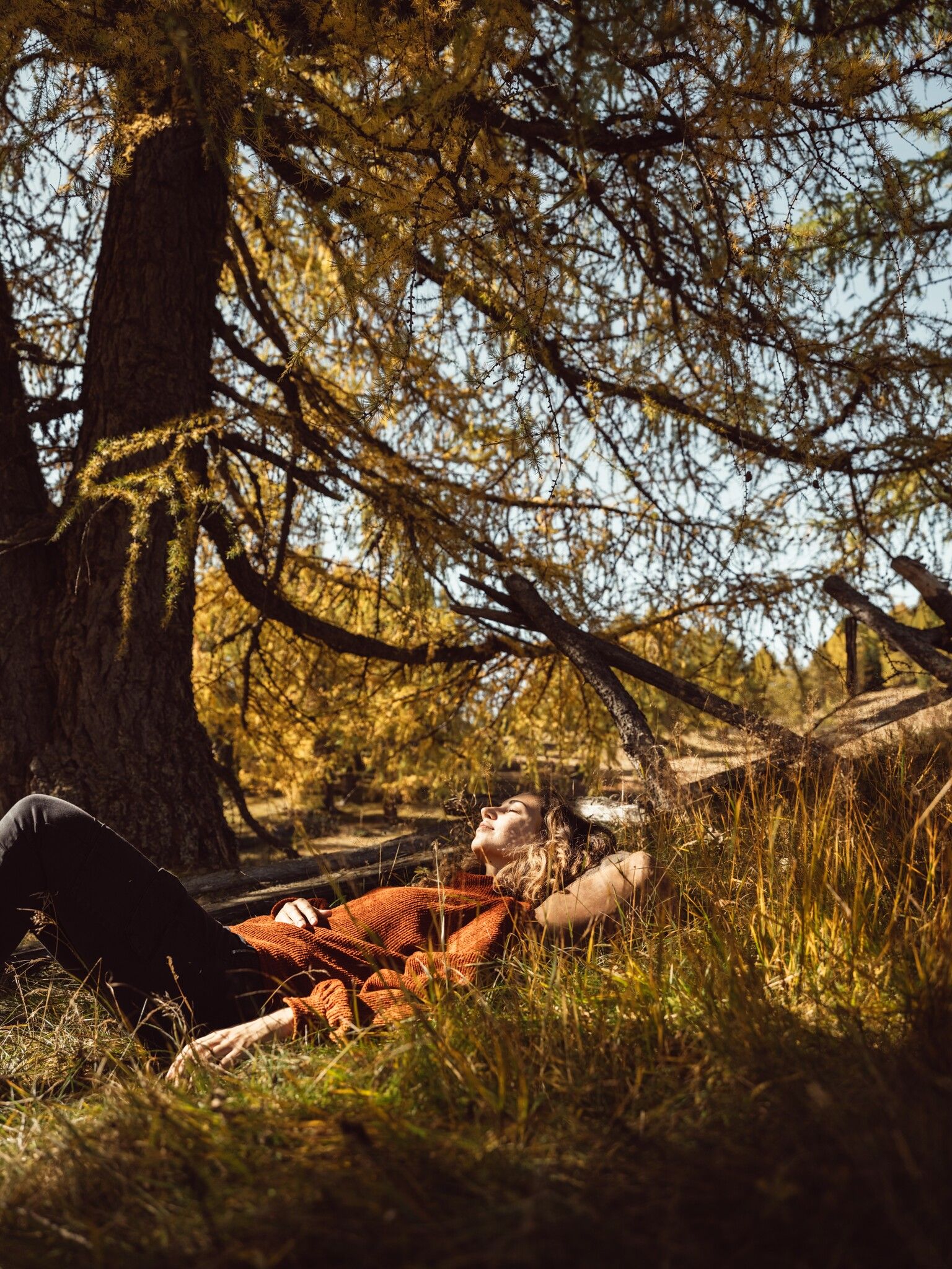
The Zedlacher Paradies in East Tyrol's Virgental Valley is not only one of the most beautiful places in Tyrol in autumn, the ancient larch trees also create a magical picture in summer.
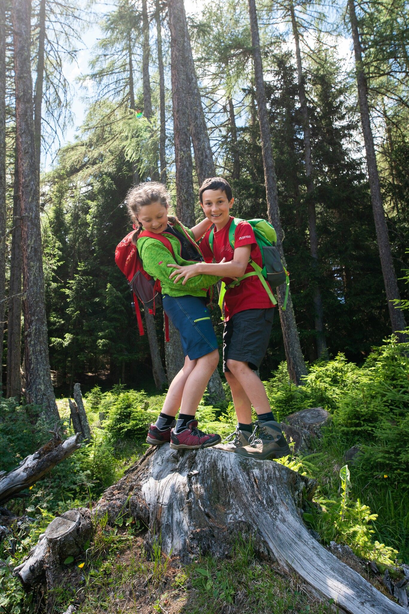
The circular trail through the Zedlacher Paradies is an easy, peaceful family hike in an exceptionally atmospheric forest area above Matrei i. O.. The trail leads along pleasant forest and woodland paths through a "magical" larch forest, which is known for something very special: the oldest larch trees in Tyrol can be found here. Individual specimens are over 500 years old and reach a trunk circumference of up to seven meters - an impressive natural experience that you can take in again and again along the way.
The area is aptly named: when the larch trees turn golden yellow in autumn, the circular trail literally becomes a "paradise". But even in spring and summer, the route is a real treat thanks to the shade, the scent of the forest and the peaceful atmosphere - ideal for anyone looking for a short, rewarding tour without too much elevation gain. The Strumerhof is a great place to stop for refreshments at the starting and finishing point, and the route can also be extended with an optional ascent to the Wodenalm.
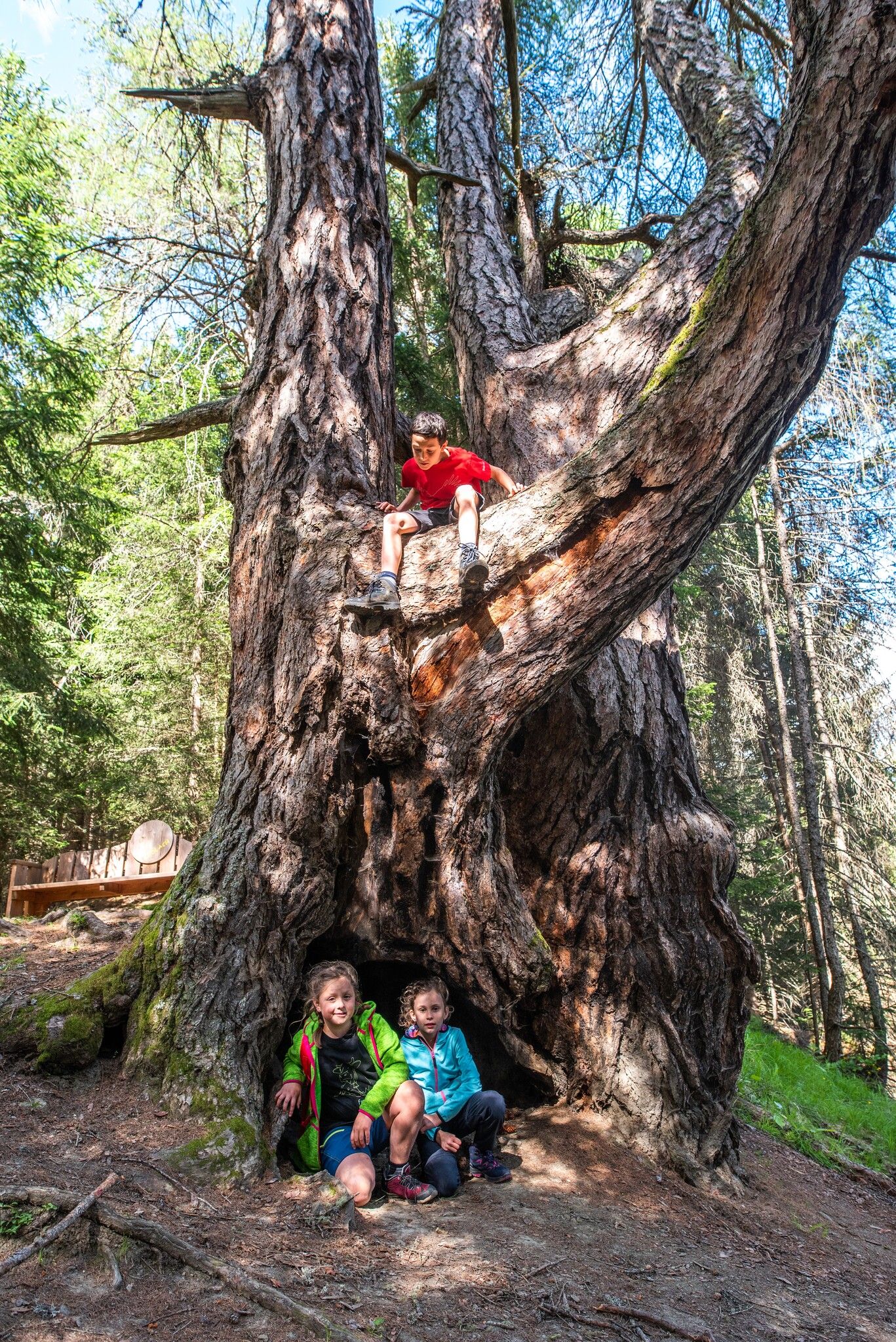

The circular trail in the Zedlach district of Matrei leads through a magical forest that is home to the oldest larch trees in Tyrol. The oldest trees are over 500 years old and have a trunk circumference of up to seven metres. Information boards explain the forest habitat and the development of the larch trees. When the larch trees turn golden yellow in autumn, the Zedlacher Paradies truly becomes a paradise. But even in spring and summer, a hike in this area delivers what it promises.
Matrei in Osttirol Auerfeld
Parkplatz Zedlacher Paradies


")
.jpg")

.jpg")


.jpg")
.jpg")

")


")
.jpg")
.jpg")

.jpg")


