
Difficulty:
medium
Length:
2.0 km
Duration:
2:00 h
Elevation uphill:
379 m
Val Sinestra - Fuorcla Maisas - Samnaun Dorf
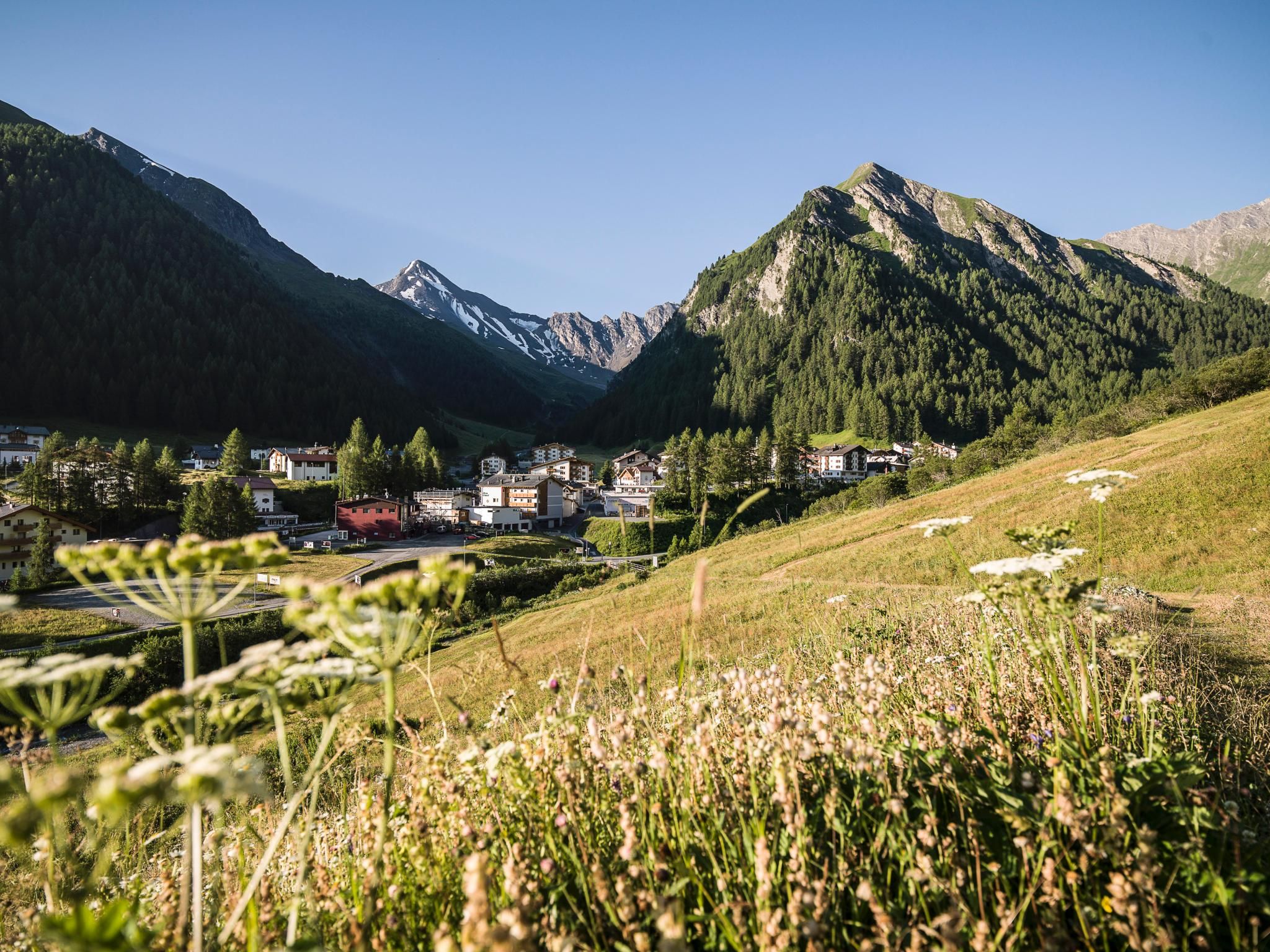
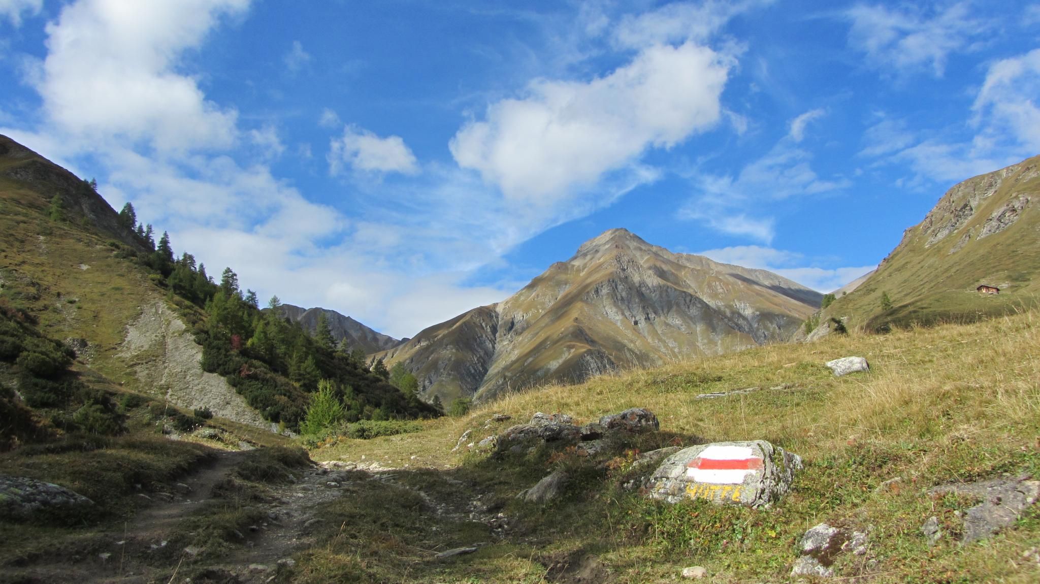
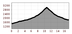
Transfer by PostAuto from Sent to Val Sinestra (1,524 m above sea level). The hike begins at the Kurhaus Val Sinestra. The La Brancla stream is crossed multiple times until reaching the Zuort farm, including two suspension bridges. At Zuort, the flower and herb meadows begin. From Griosch, walk about 500 meters downstream before the path branches off toward Fuorcla Maisas. Via Alp Pradgiant, the trail steadily ascends. The vegetation becomes sparser as you approach the highest point of this stage, Fuorcla Maisas (2,907 m above sea level). At the pass between Muttler and Stammerspitz, the view opens up to Val Maisas. On the west flank of Muttler, the highest mountain in Samnaun, the descent is rocky and steep down to Rossboden. From here, the vegetation flourishes again, accompanying hikers through Val Maisas all the way to Samnaun Dorf.


")


.jpg")


.jpg")


